
Öffnungszeiten:Heute geschlossen
Ort:Anras
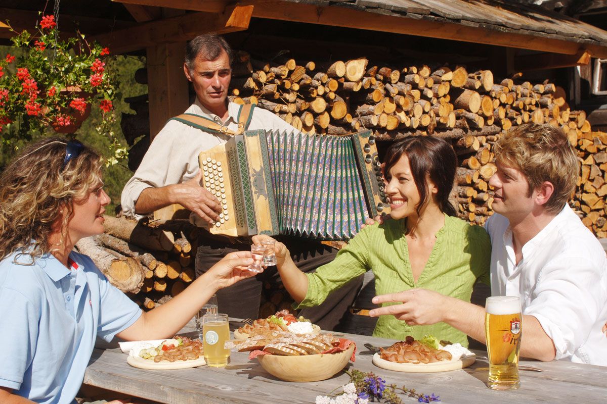
:Alpine pasture / hut / mountain restaurant
Gölbner 2,943 m
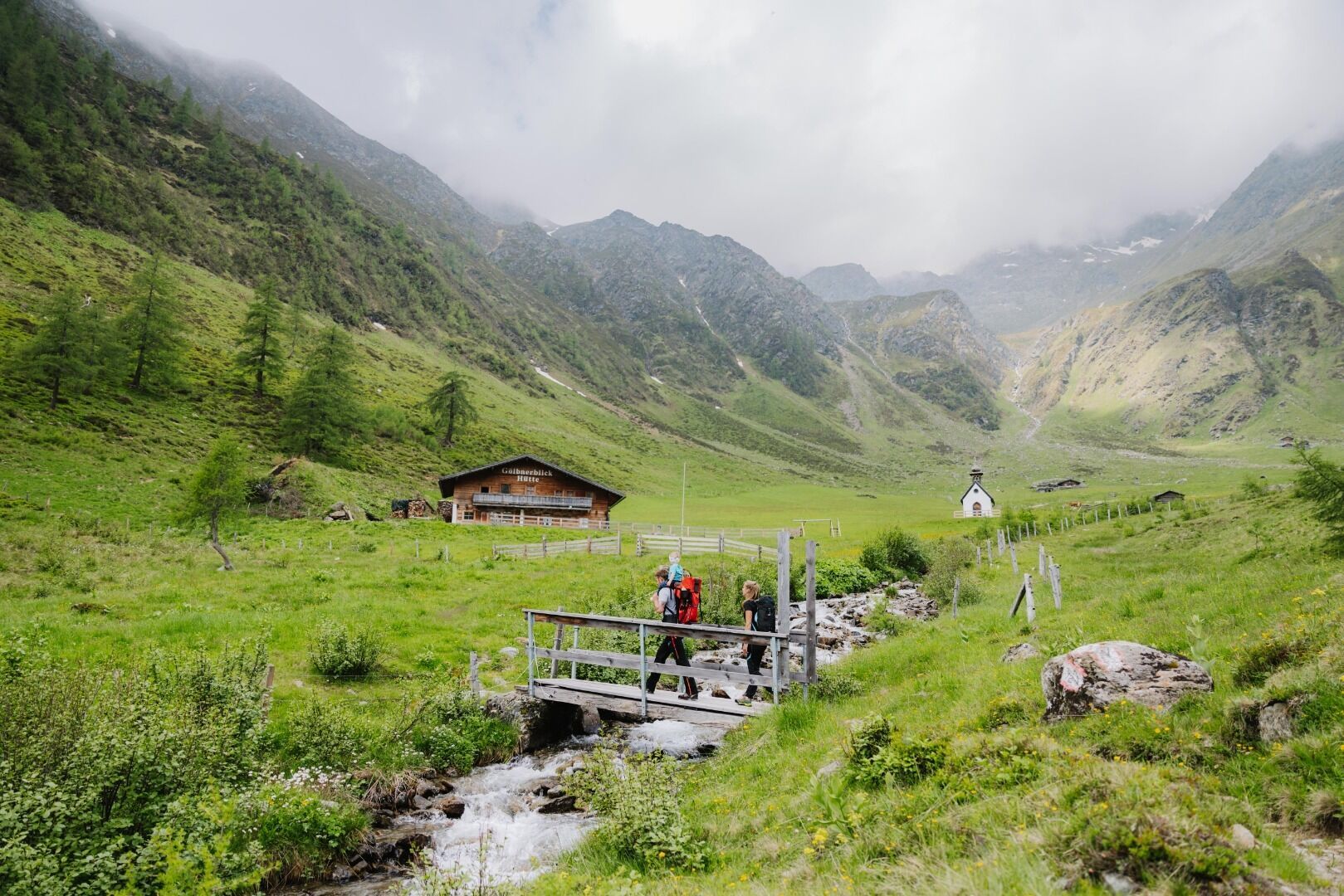
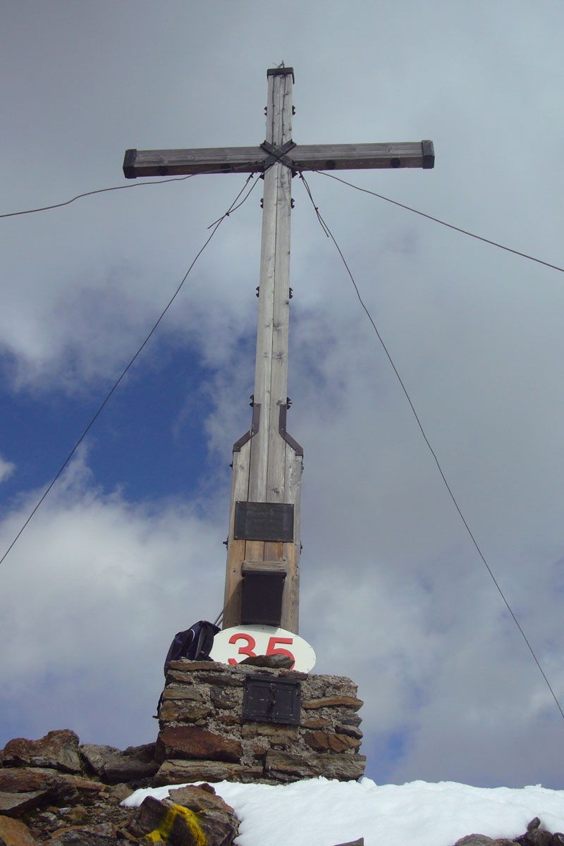
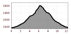
Through Kristeinertal to the car park. From here, hike to the left for another 20 minutes on a gravel road to Gölbnerblickhütte. From there across Alpine pastures and meadows at the head of the valley and via a steep section to the Seealpe and to a lake (partially dried out) – continue into a large corrie – in part across a boulder area to another steep section and across large boulders to the wide yet steep northern ridge of the Gölbner – very steep and slippy to the summit cross on the Gölbner.
Parkplatz Kristeinertal
.jpg")


 neu.jpg")


.jpg")
.jpg")


.jpg")


.jpg")


