Mountain hikes Gölbnerblick hut via the new waterfall path Celar

Difficulty ratings: medium
Route length: 4.2 km
Duration: 1:30 h

Gölbnerblick hut via the new waterfall path Celar

Tour information

  • Requirement: medium
  • Length: 4.2 km
  • Duration: 1:30 h
  • Elevation uphill:290 hm
  • Elevation downhill:280 hm
Highest point1,824 m

Starting point

car parking "Fahbrücke"

Finishing point

Gölbnerblick Hütte
  • Fitness level 3 / 6
  • Technique 2 / 6

Best time of year

  • January
  • February
  • March
  • April
  • May
  • June
  • July
  • August
  • September
  • October
  • November
  • December

Description

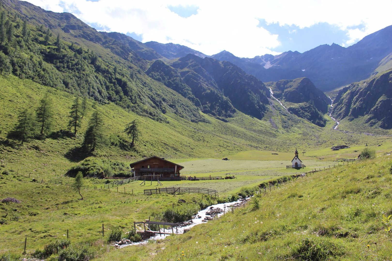
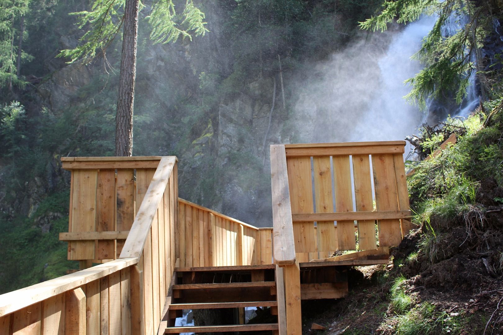
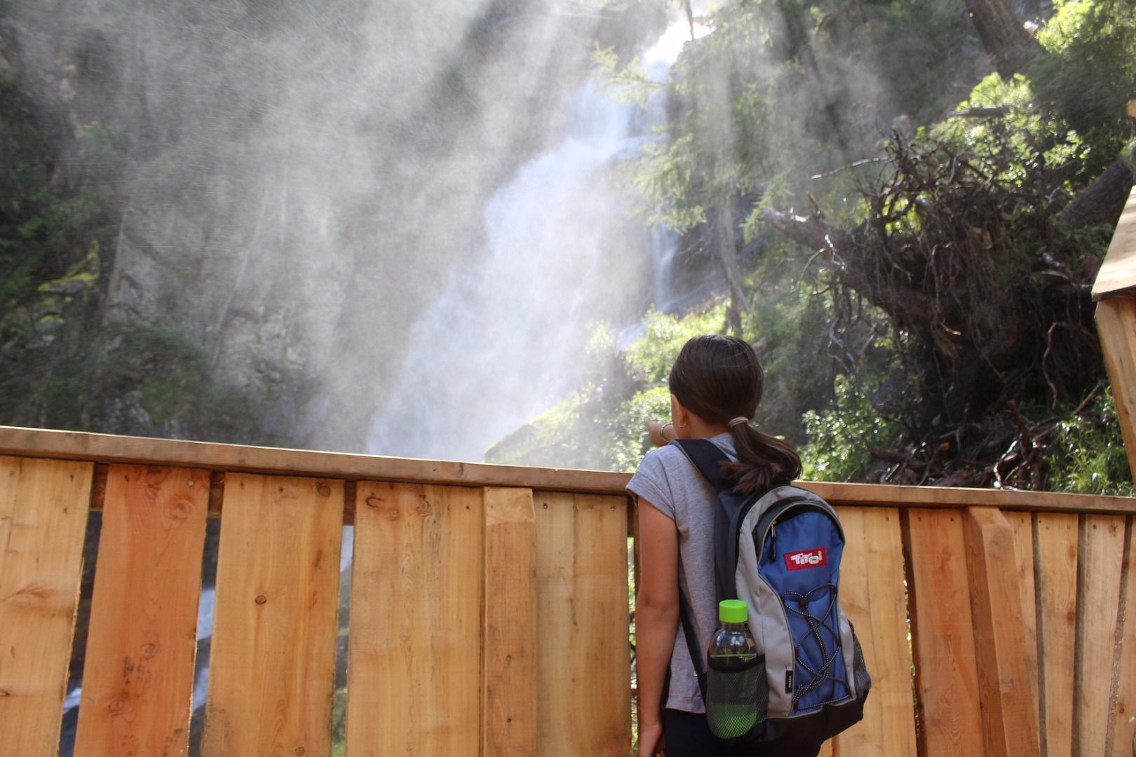
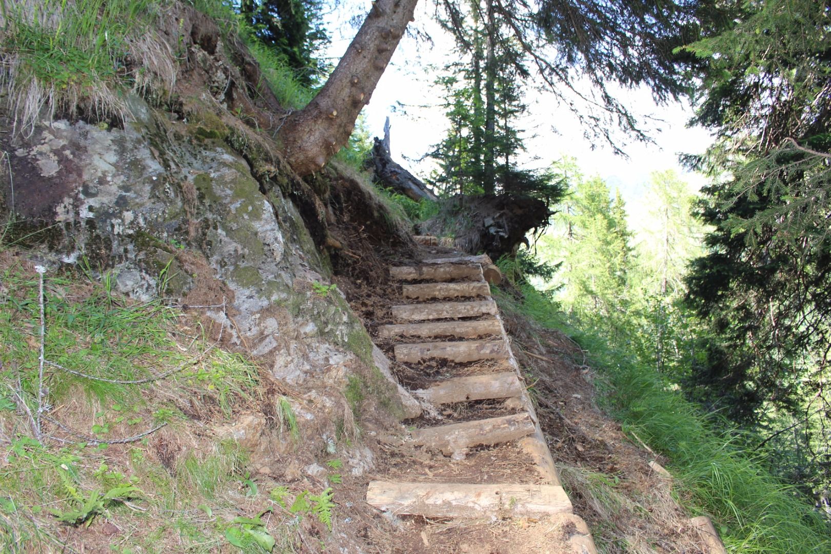
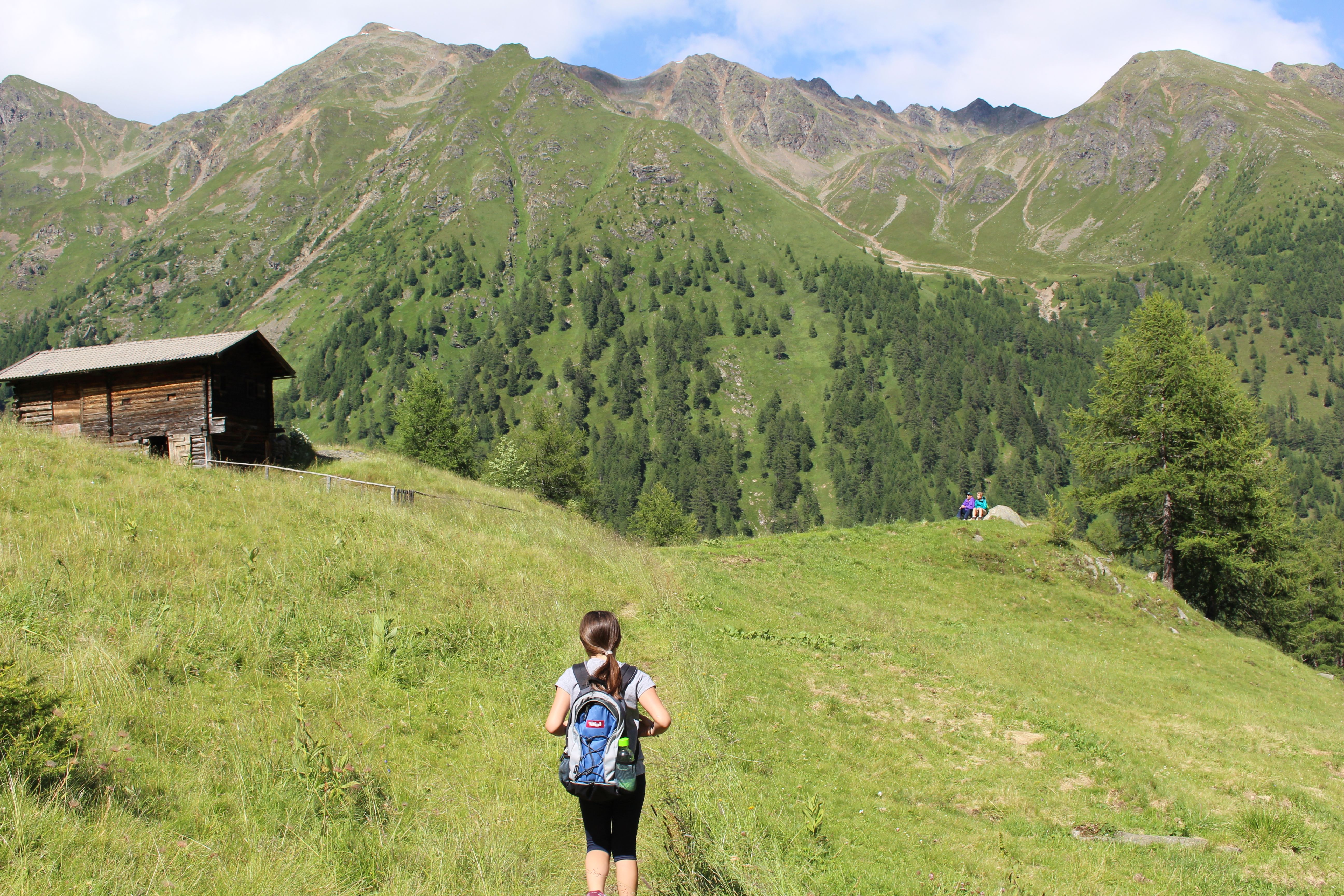
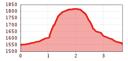
At the end of the 120 m high Celar waterfall the new path begins. The path goes up throgh the shady forest. At the two plattform viewpoints you can watch, how the flood water thunder at the valley, before you hike via an easy ascent up to the Gölbnerblickhütte and the Celar chapel.

Getting here

  • Parking

    Parkplatz Fahrbrücke

More tours in the surrounding area

Newsletter

The mountain is calling? So does our newsletter!

In our monthly newsletter we reveal the best holiday tips for Tyrol.