Arrival by public transport
Line 210, Bus stop Pfunds Dorf, walking distance to Tscheylücke: 6,9 km
Line 273, Bus stop Pfunds Stuben, walking distance to Tscheylücke: 8,1 km
Tip: there is a hiking shuttle to the Tschey every Thursday
The ascent leads via Gschneier Alm to the scenic Lahnkopf. The descent follows via Platzer Alm, through the beautiful Platzertal valley and finally through the impressive high valley of Pfundser Tschey.
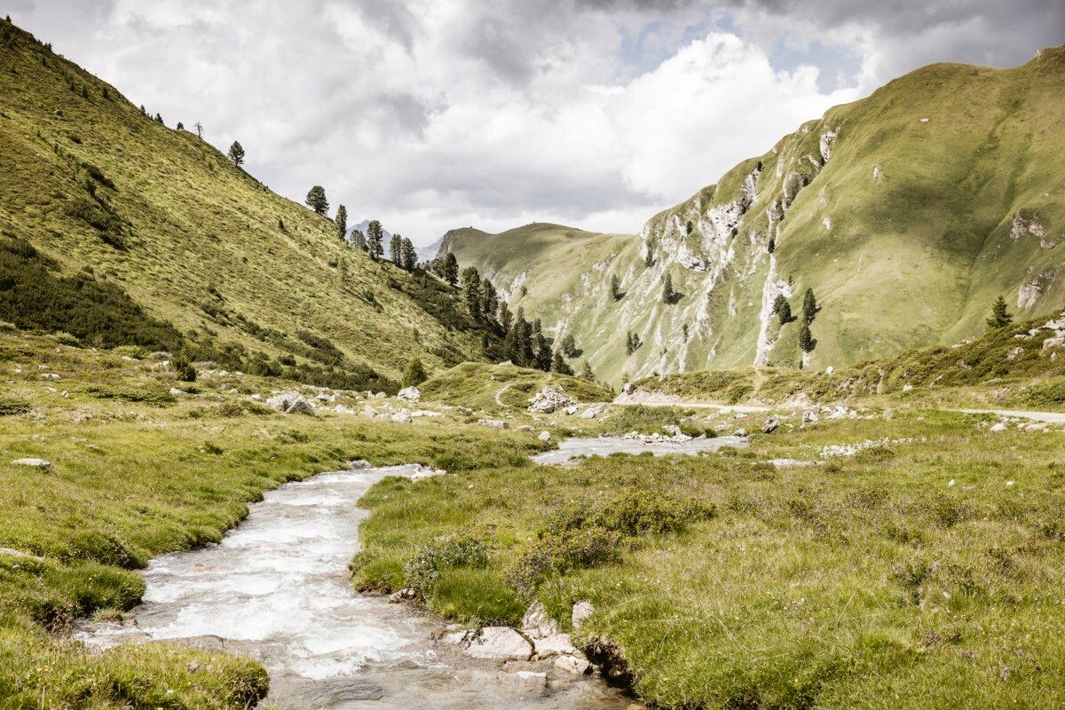
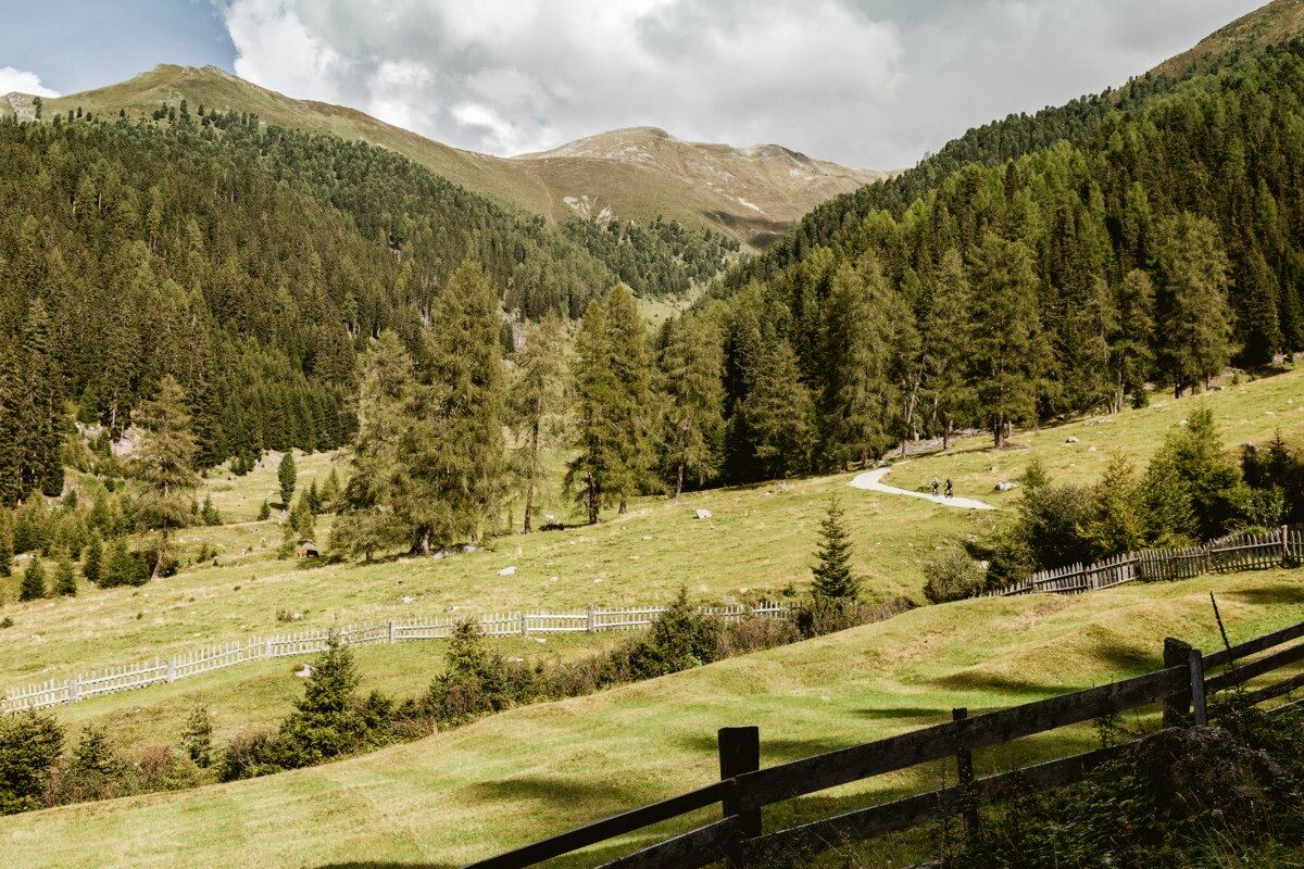
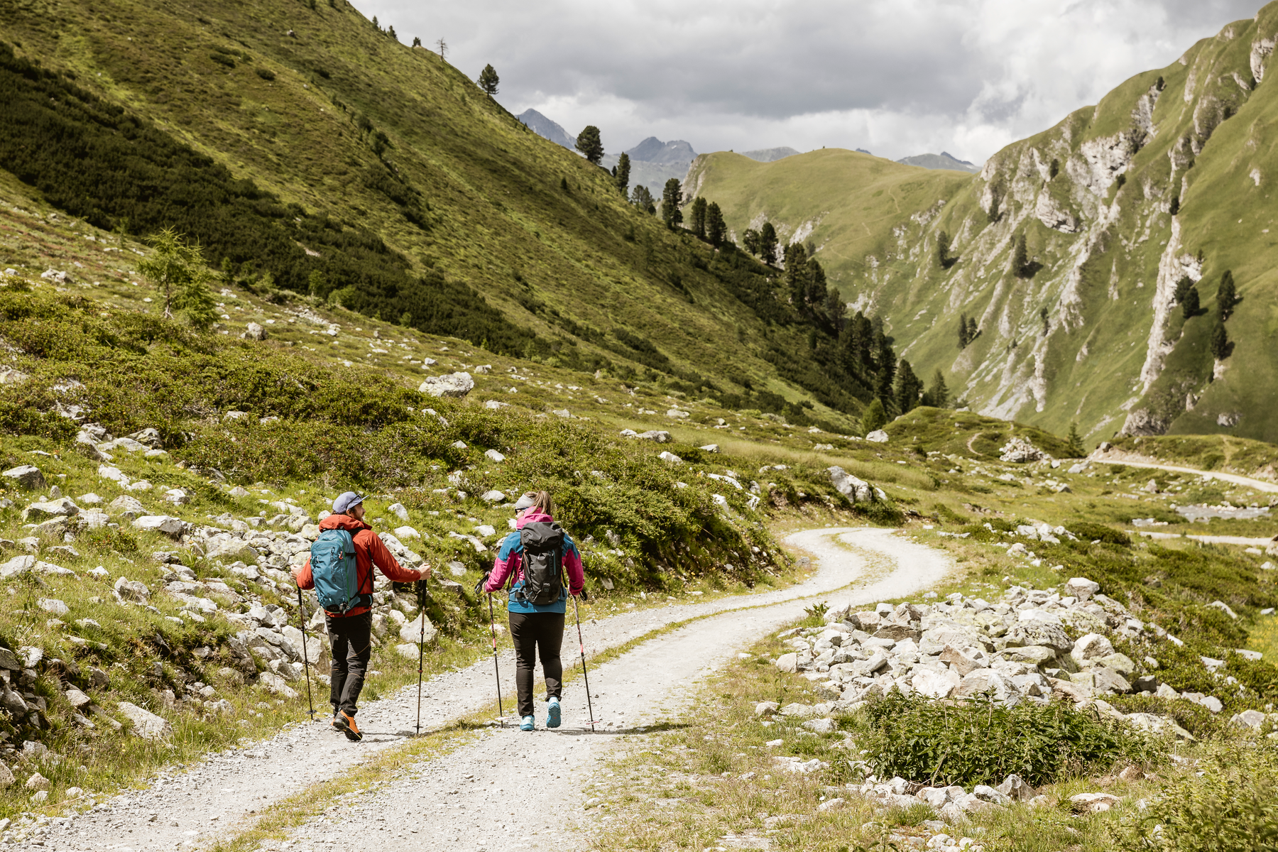
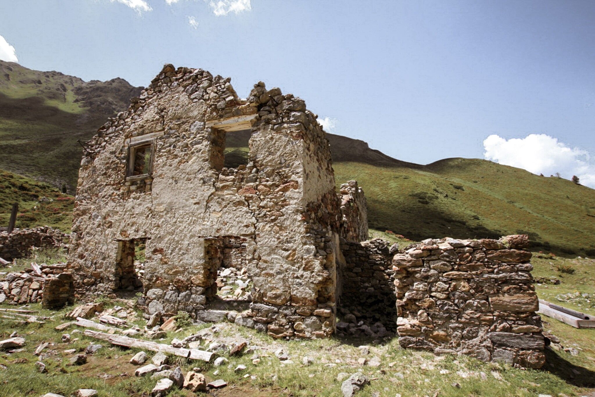
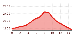
The hike begins at the Greiter Säge, crossing the bridge and following the trail markers toward Gschneier Alm. Above the pasture, the ascent to Lahnkopf starts, offering impressive views from the summit. The descent continues along a trail to Platzer Alm. Passing the ruin of the old ore and silver processing buildings, the route leads into the Pfundser Tschey high valley. Finally, the trail passes by the chapel Maria Schnee before returning to the starting point.
Line 210, Bus stop Pfunds Dorf, walking distance to Tscheylücke: 6,9 km
Line 273, Bus stop Pfunds Stuben, walking distance to Tscheylücke: 8,1 km
Tip: there is a hiking shuttle to the Tschey every Thursday
Parking area Tscheylücke, free of charge
.jpg")
.jpg")
.jpg")
.jpg")
.jpg")

.jpg")
.jpg")
.jpg")

")
.jpg")

.jpg")
.jpg")
.jpg")
.jpg")

