Mountain hikes Innrunde

Angath / Brandenberg Alps (Rofan)
Difficulty ratings: easy
Route length: 2.9 km
Duration: 0:50 h

Explore the picturesque Inn circuit in Angath

Tour information

  • Requirement: easy
  • Length: 2.9 km
  • Duration: 0:50 h
  • Elevation uphill:0 hm
  • Elevation downhill:0 hm
Highest point500 m

Starting point

Dorfplatz Angath

Finishing point

Dorfplatz Angath
  • Fitness level 1 / 6
  • Technique 1 / 6

Features

  • Circular route
  • suitable for pushchairs

Best time of year

  • January
  • February
  • March
  • April
  • May
  • June
  • July
  • August
  • September
  • October
  • November
  • December

Trail condition

Asphalt, gravel path

Equipment

Outdoor clothing, sturdy shoes 
Source: Kitzbüheler Alpen Management GmbH

Description

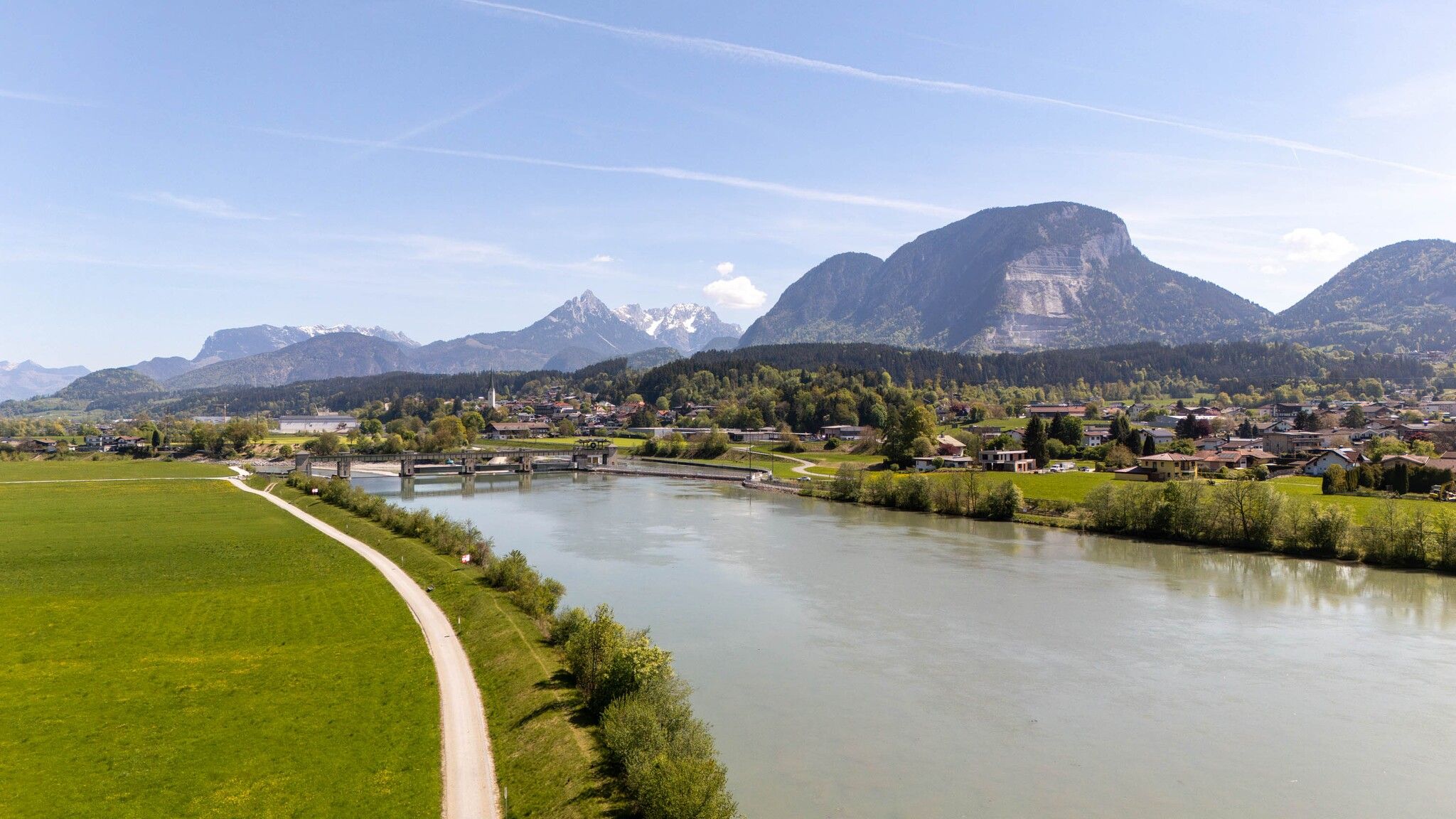
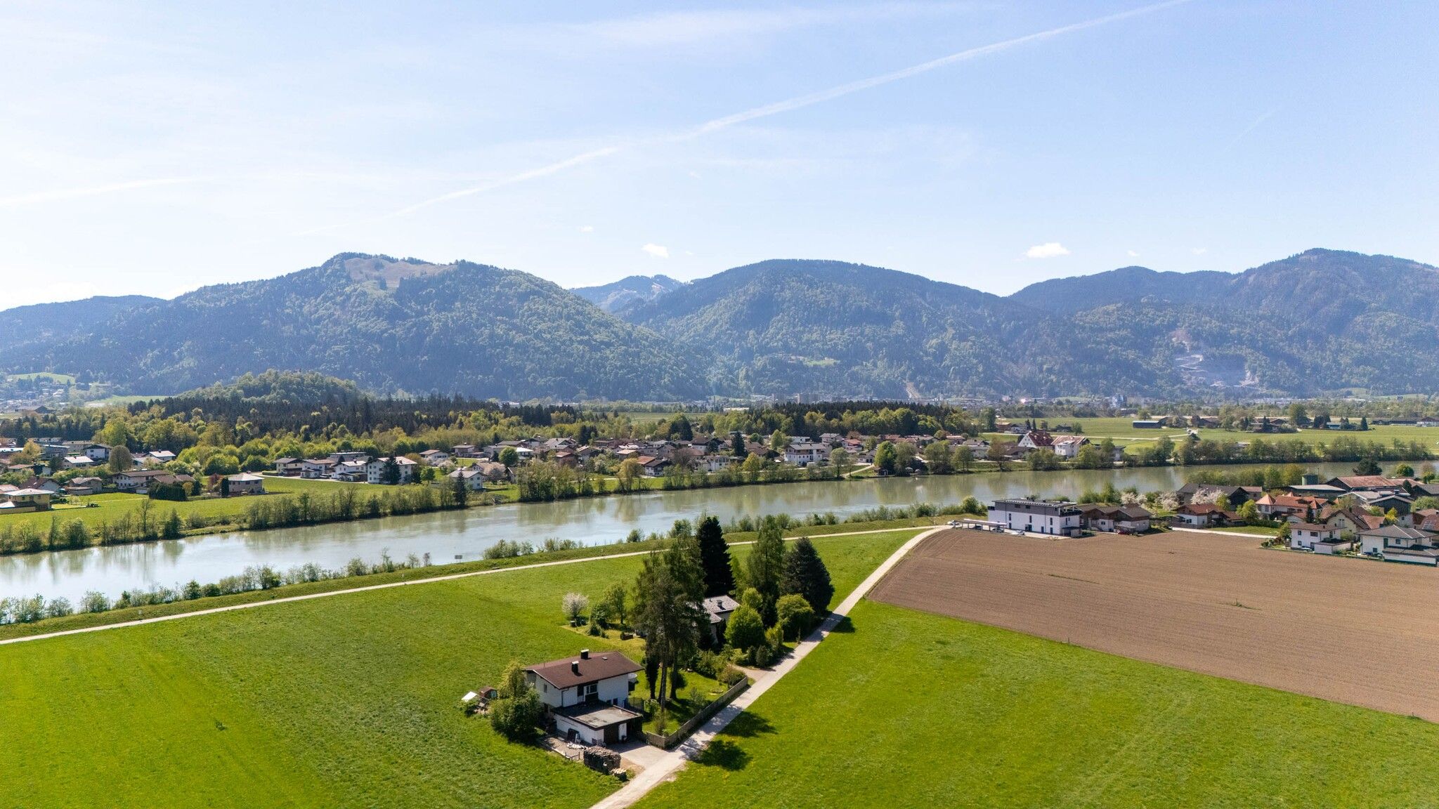
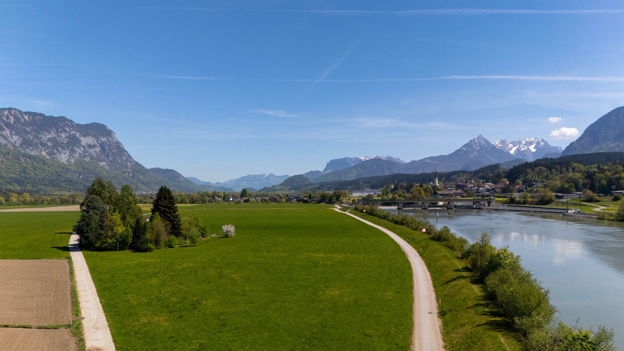
The start of this hike is at the village square in Angath right next to the church. From there you cross the Angerberger Straße. Follow the signs for the 'Innrunde'. Follow trail no. 8 along the Innstraße out of the settlement area. At the end of the Innstraße, the loop leads back to the starting point in a large loop on the left.

Nearby huts and mountain restaurants

Getting here

  • Arrival by public transport

    bus: Angath Ort bus stop

    Guest card of the region = train ticket from Kirchbichl to Hochfilzen + bus ticket from Mariastein to Kitzbühel included! 
    Valid on ÖBB local trains (S, REX) and InterRegio trains (IR) between Kirchbichl - Wörgl and Hochfilzen.
    Not valid on RJ, RJX, EC, IC, ICE, D and NJ/EN trains.


    More detailed information: www.hohe-salve.com/mobility

  • Parking

    opposite the Kammerhof

More tours in the surrounding area

  • Rolli-Wanderung Aifner Alm

    Difficulty:medium
    Length:6.0 kmDuration:2:30 hElevation uphill:460 m
  • Kaunerberger Wasserweg

    Difficulty:medium
    Length:15.2 kmDuration:6:00 hElevation uphill:935 m
  • Möslalmkogel via Wörgl

    Difficulty:medium
    Length:10.3 kmDuration:3:30 hElevation uphill:580 m
  • Hohe Aifnerspitze (2.779 m)

    Difficulty:medium
    Length:7.2 kmDuration:5:15 hElevation uphill:815 m
Newsletter

The mountain is calling? So does our newsletter!

In our monthly newsletter we reveal the best holiday tips for Tyrol.