
Opening hours:closed
Difficulty:easy
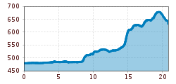
Length:573 mDuration:0:20 hElevation uphill:12 m
Beginning with the european culture the believers began to go on pilgrimages. Every year thousands of pilgrims start off to walk a passage of the Way of St. James (Jakobsweg), to pilgrim, to reflect and regain energy.
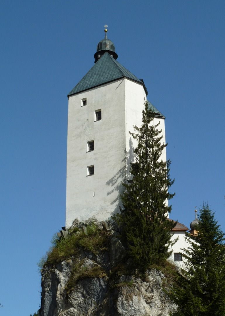
Pack your backpack, lacen up your hiking boots and explore the traces of the holy Jakobus and the beautiful landscapes of the border region between Austria and Bavaria. As soon as you see the blue-yellow shell your on the right track.
There are mainly three routes, which lead through Tyrol to the west. Off course the pilgrims didn't always stay on these tracks. Even today, a lot of people take short side trips or longer detours.
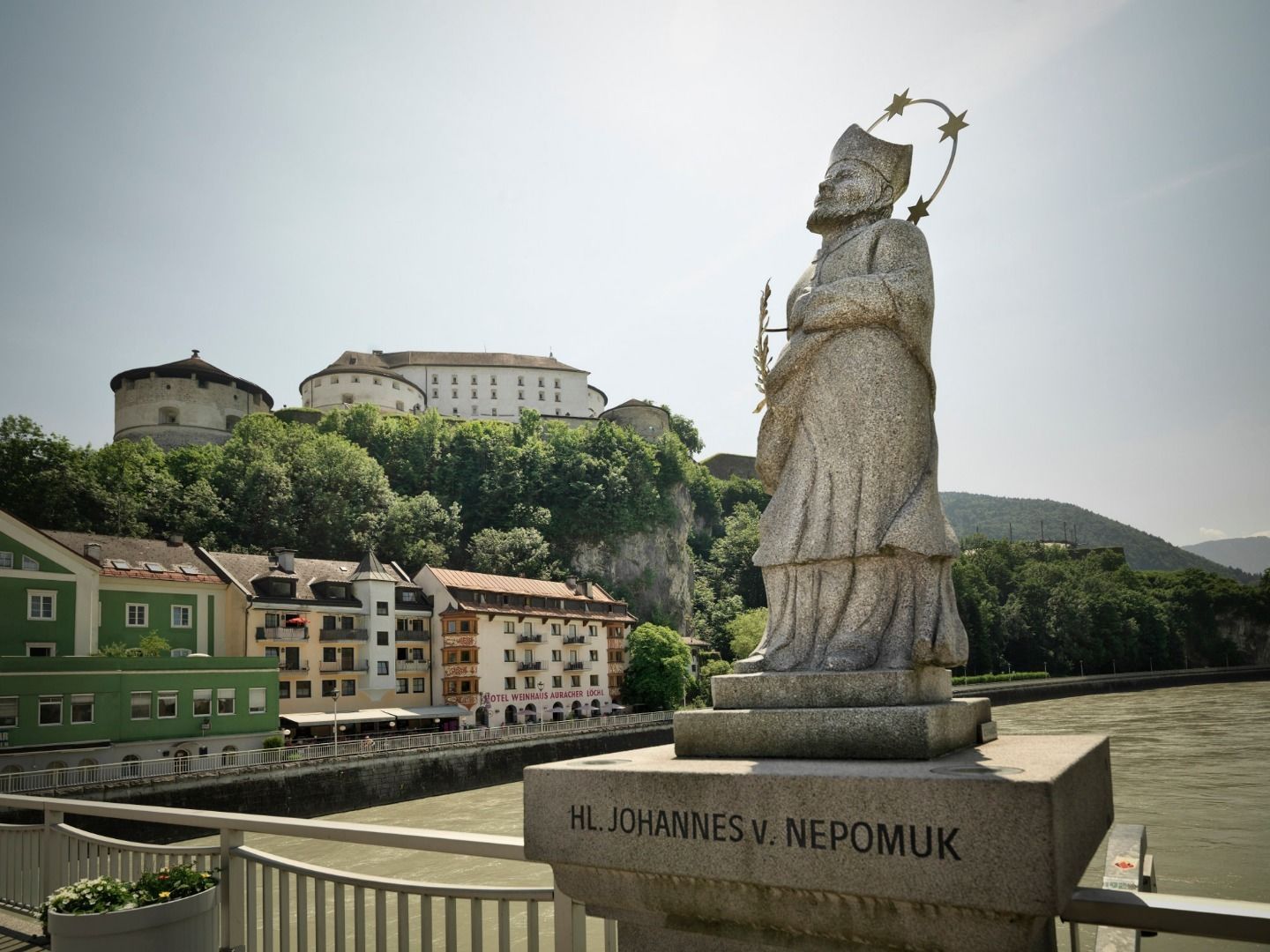
In our region the Way of St. James leads from Rosenheim to Kufstein and further in the Inn valley to the west, through Innsbruck and further up to the Arlberg, where it leads to Bludenz, Feldkirch and Lichtenstein into the Bernese Oberland.


 Mirja Geh (26).jpg")


.jpg")
")


")


Manfred Pfister.jpg")
