

Place:Kappl
:Alpine pasture / hut / mountain restaurant
Medium difficulty hike to Pezinerspitze and back
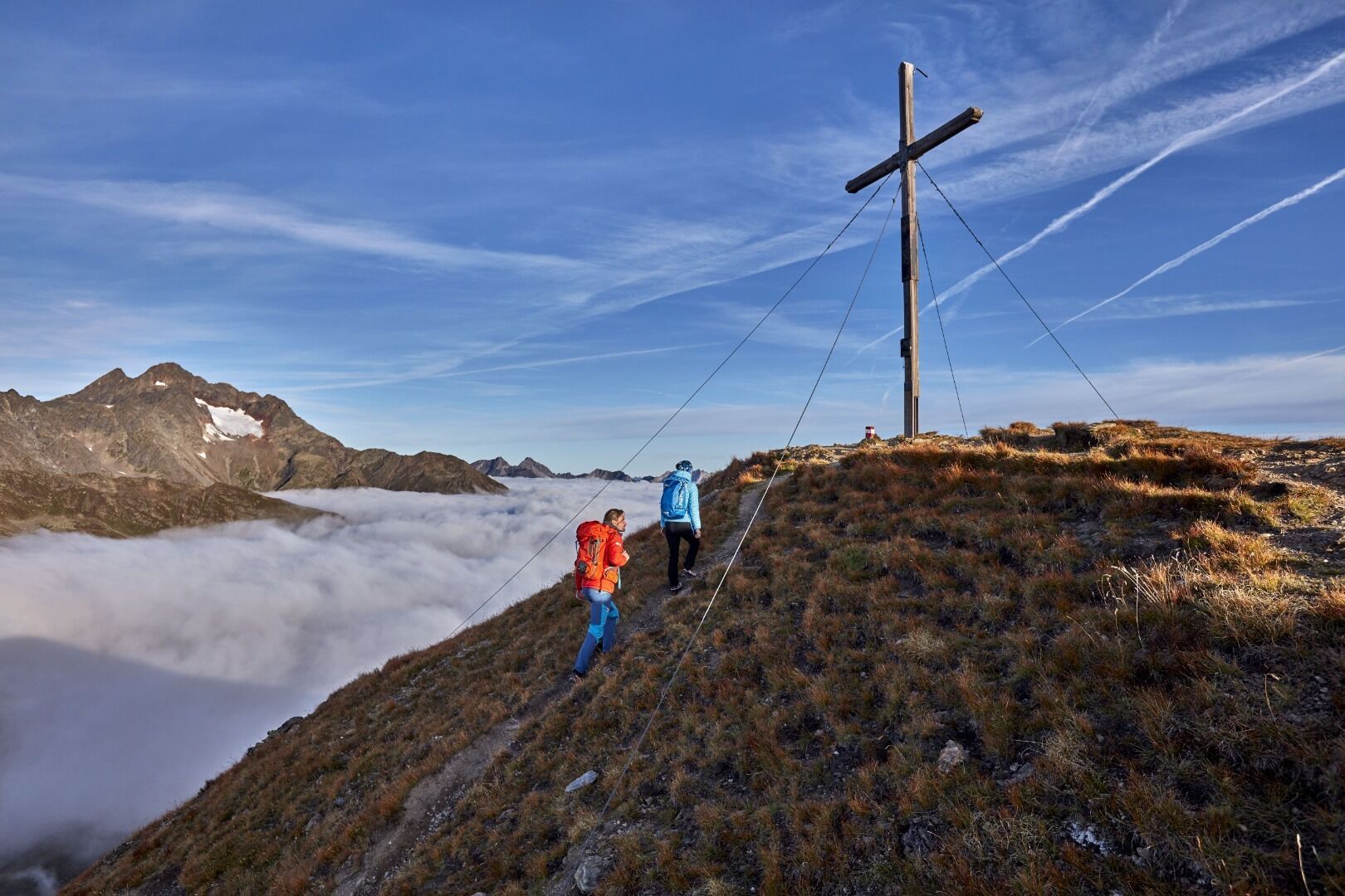
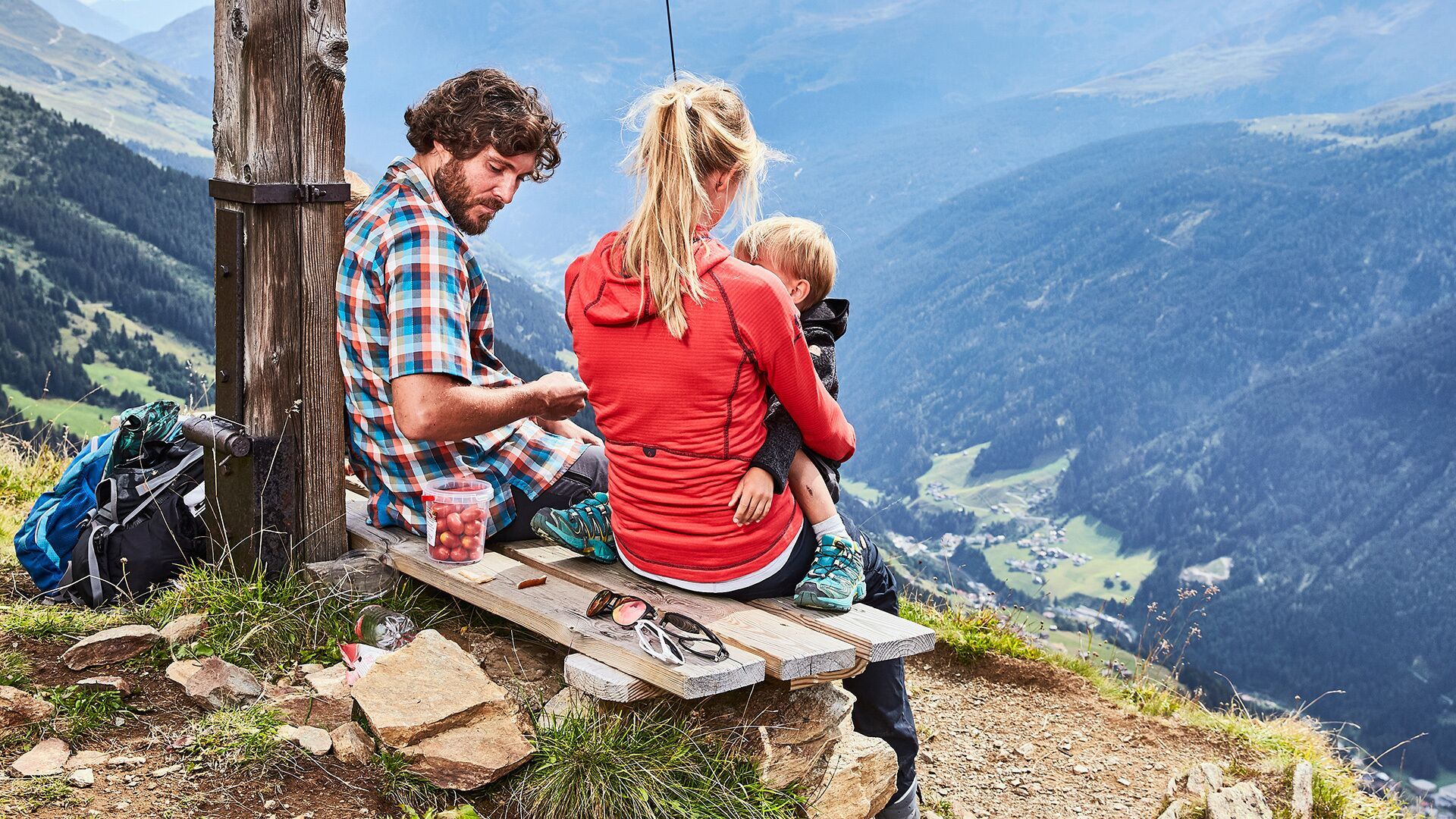
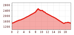
Starting from the village square in Kappl the hike proceeds on municipal road no.1 to Außerlangesthei (Außerlangesthei is around 300 m to the east of Langestheier Church). There route no. 34 heads through the forest and mountain pastures to Langestheier Alpe (non managed).Around 1.5 km above the lodge a moderately steep climb to Peziner Spitze begins.
Return section: descend from Pezinerspitze to the ridge. Head along the ridge down into the valley via Niederjöchl (2.316 m), cross-country to Spiduralpe (2.120 m). On route no. 12 continue to the hamlet of Klasen and to Langesthei.
With the railway station in Landeck, the Paznaun is optimally connected to the Austrian train network. From Landeck-Zams station, only a short bus ride separates you from the Paznaun. Every half hour, line bus 260 runs from there through the valley. Bus stop: Langesthei Church (Hiking Bus)
Buses in the Paznaun valley | Region Paznaun – Ischgl
At the church Langesthei.
Parking in Galtür, Ischgl, Kappl & See | Region Paznaun – Ischgl


