
Place:Kufstein
:Alpine pasture / hut / mountain restaurant
Three-hour-long hiking tour along the old ski slope
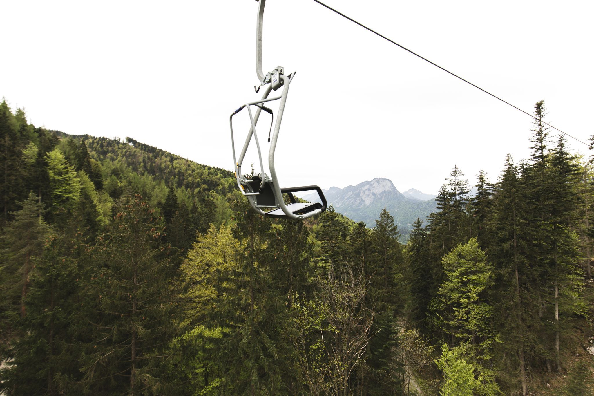
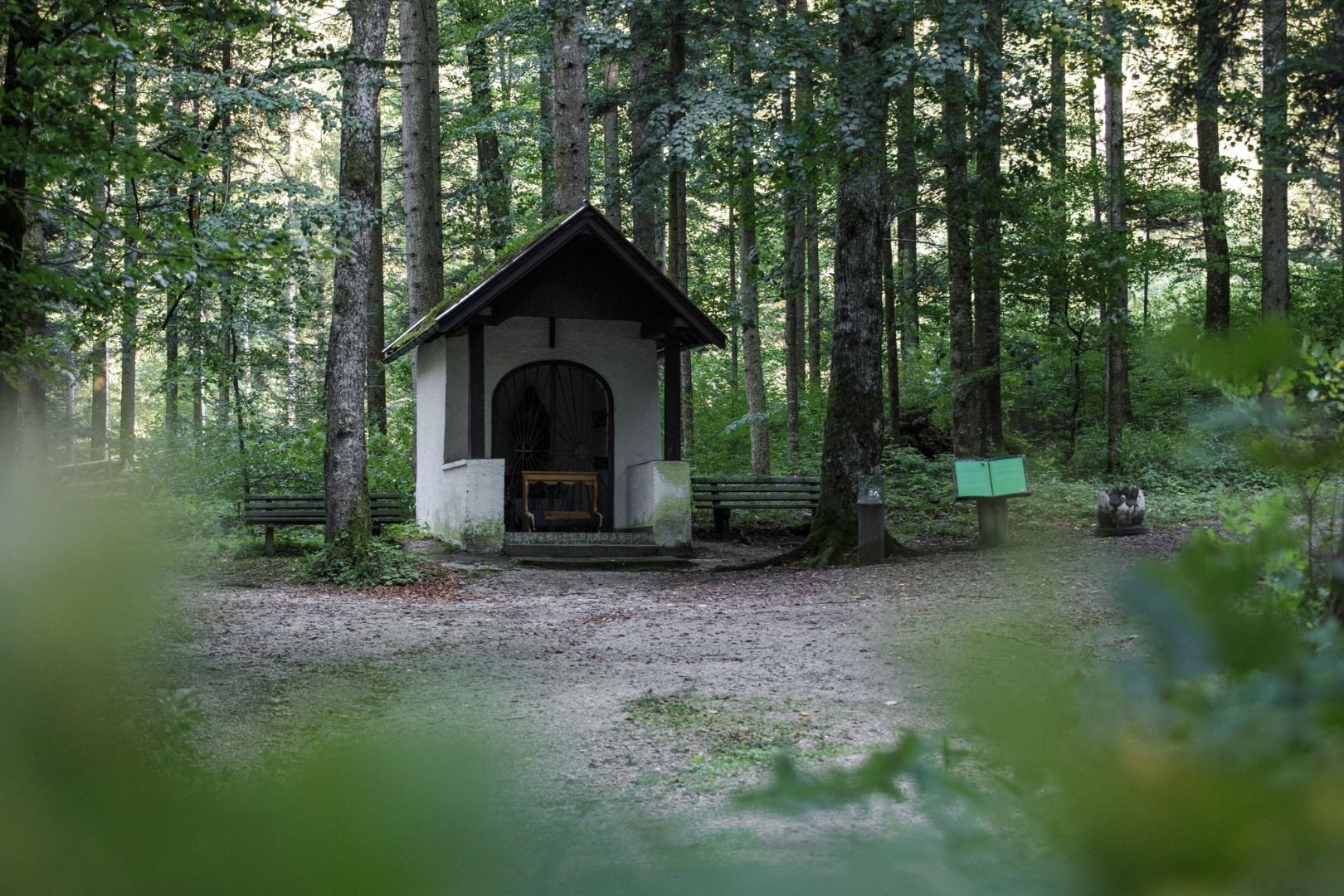

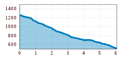
You take the Kaiserlift up the mountain to Brentenjoch. We enjoy the dreamlike view at the Wilder Kaiser and the alp region while hiking along the alp path. After ten minutes we reach a fork in the path (Steinberg-Stadtberg) and turn left across the ski slope down in the valley. Meeting the forest path again, we reach the "Riegen-Bründl" where we can take a rest and regain strength. At the next hikingsign we turn right into the "Kanonenrohr", named after a schuss passage of old-time skiing days. Along the well-signposted path we reach our intermediate goal - the Duxer Alm. After we stopped for a bite to eat we follow the driveway up to the fork, then turn right in the direction of Hinterduxerhof. We hike below the liftstreet until we reach a sealed street. We follow this street for 800m until the road bends sharply and we turn into the forest again. Soon we reach the "Dickichtkapelle", we follow the steep path to the valley, past the "Theaterhütte" and soon arrive at the valley station. At the end of our hike, the next delicacies are awaiting us: The "Basislager Harmonie". Off course you can hike the route the different way around, hiking all the way up to Brentenjoch and take the lift downhill- more effort but better for your knees.
Take the city bus line 1 to the stop Meraner Straße and walk to the valley station. With the KufsteinerlandCard within the region bus free of charge.
Valley station Kaiserlift, subject to a charge.


.jpg")


.jpg")


.jpg")


.jpg")
