Themed hikes Legend trail - Kranzhorn Erl

Erl / Chiemgau Alps
Difficulty ratings: medium
Route length: 6.1 km
Duration: 2:15 h

Hike the Erler legends at 2 stations.

Tour information

  • Requirement: medium
  • Length: 6.1 km
  • Duration: 2:15 h
  • Elevation uphill:356 hm
  • Elevation downhill:356 hm
Highest point1,226 m

Starting point

Parking Kranzhorn

Finishing point

Parking Kranzhorn
  • Fitness level 2 / 6
  • Technique 2 / 6

Features

  • Circular route
  • Suitable for families

Best time of year

  • January
  • February
  • March
  • April
  • May
  • June
  • July
  • August
  • September
  • October
  • November
  • December

Trail condition

gravel, forest roads, trails

Equipment

Outdoor clothing appropriate to the weather (good footwear, rain protection, breathable clothing...) Snacks (e.g. fruit, muesli bars, wholemeal breads) and drinks (allow for sufficient liquid) First aid equipment Mobile phone with full battery Hiking map and guide literature Sun protection (sunscreen and glasses, cap) Bivouac bag
Source: TVB Kufsteinerland

Description

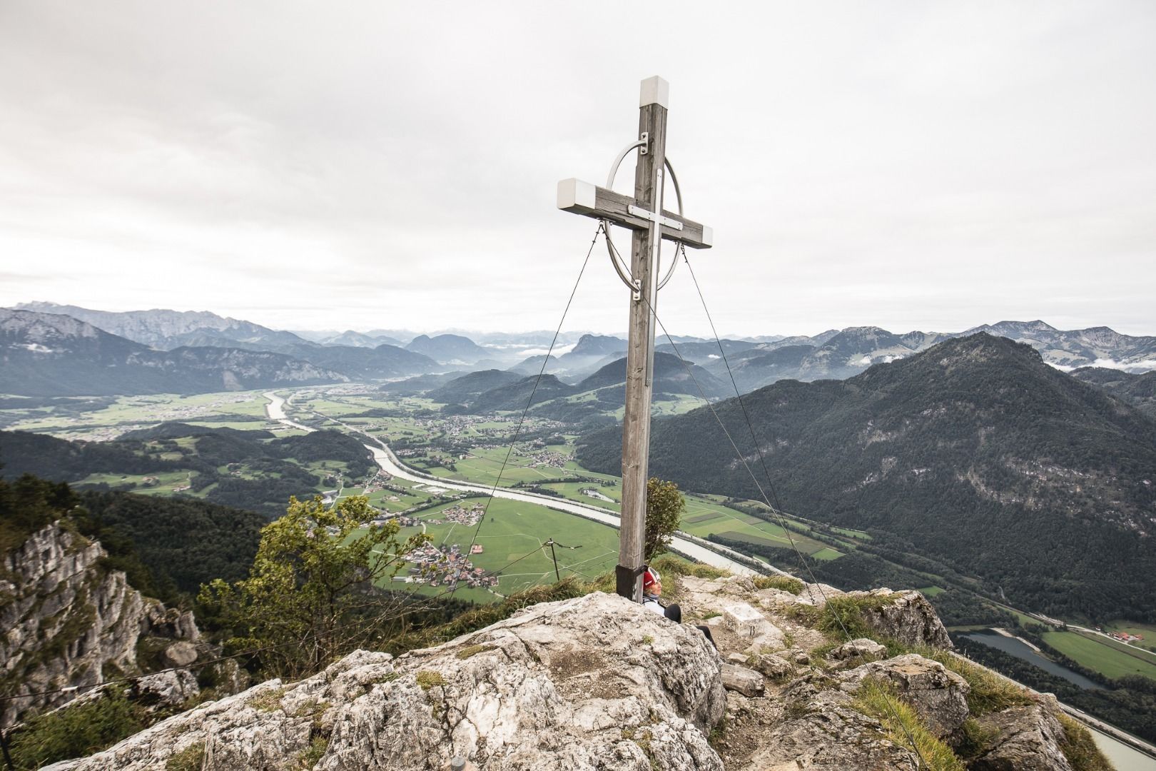
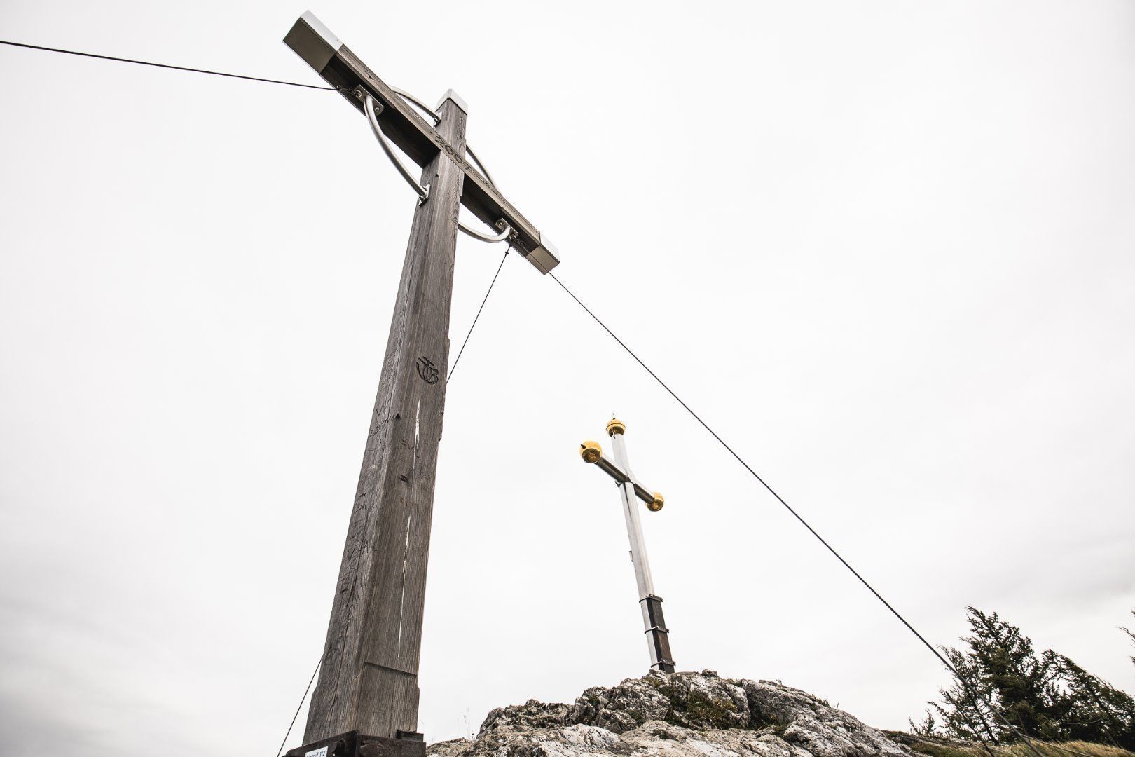
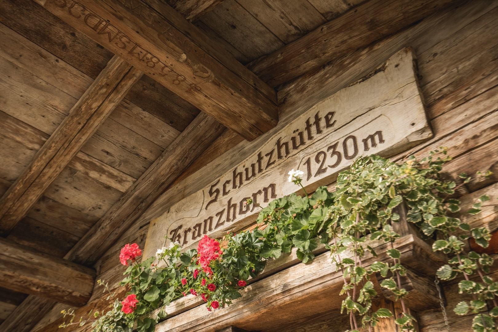
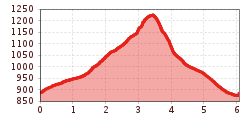
From the hiking parking Kranzhorn we hike along the forest path to the Kranzhorn Alm. A detour to the Kranzhorn summit is very recommendable, it offers a wonderful view over the Bavarian-Tyrolean border area. From the Alm down we march over the Bubenaualm again to the parking lot.

Nearby huts and mountain restaurants

  • Kranzhorn hut

    Opening hours:Open today
    Place:Erl
    :Alpine pasture / hut / mountain restaurant

Getting here

  • Parking

    Hiking car park Kranzhorn.

More tours in the surrounding area

Newsletter

The mountain is calling? So does our newsletter!

In our monthly newsletter we reveal the best holiday tips for Tyrol.