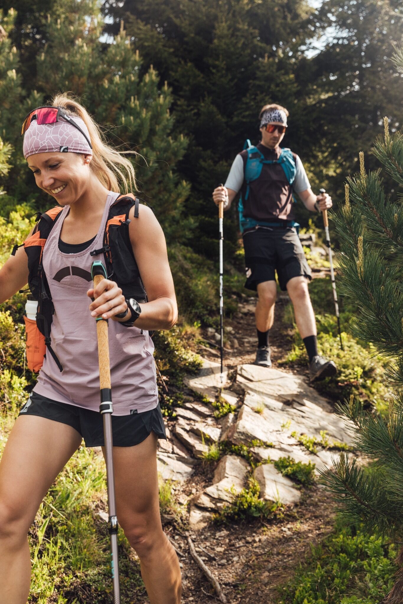
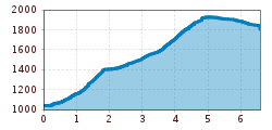
Open interactive mapOpen this POI on the interactive mapElevation profileLEKI Cross Trail-See-Schallerbach Variant 1.gpx
Ascher Hütte lodgePlace:See:Restaurant, Alpine pasture / hut / mountain restaurantsee restaurant detailssee restaurant details: Ascher Hütte lodge
Winterwanderung nach Sesslad © Tourismusverband Paznaun – Ischgl 17 Winter Hiking Trail SessladOpening hours:closedDifficulty:mediumLength:4.5 kmDuration:2:00 hElevation uphill:136 mGo to winter hikeGo to winter hike: 17 Winter Hiking Trail Sesslad
Etappe_5 (1).jpg © Tourismusverband Paznaun - Ischgl Stage 5: Relaxation Stage: Galtür - Friedrichshafener HütteDifficulty:mediumLength:7.1 kmDuration:3:30 hElevation uphill:798 mSee trailSee trail: Stage 5: Relaxation Stage: Galtür - Friedrichshafener Hütte
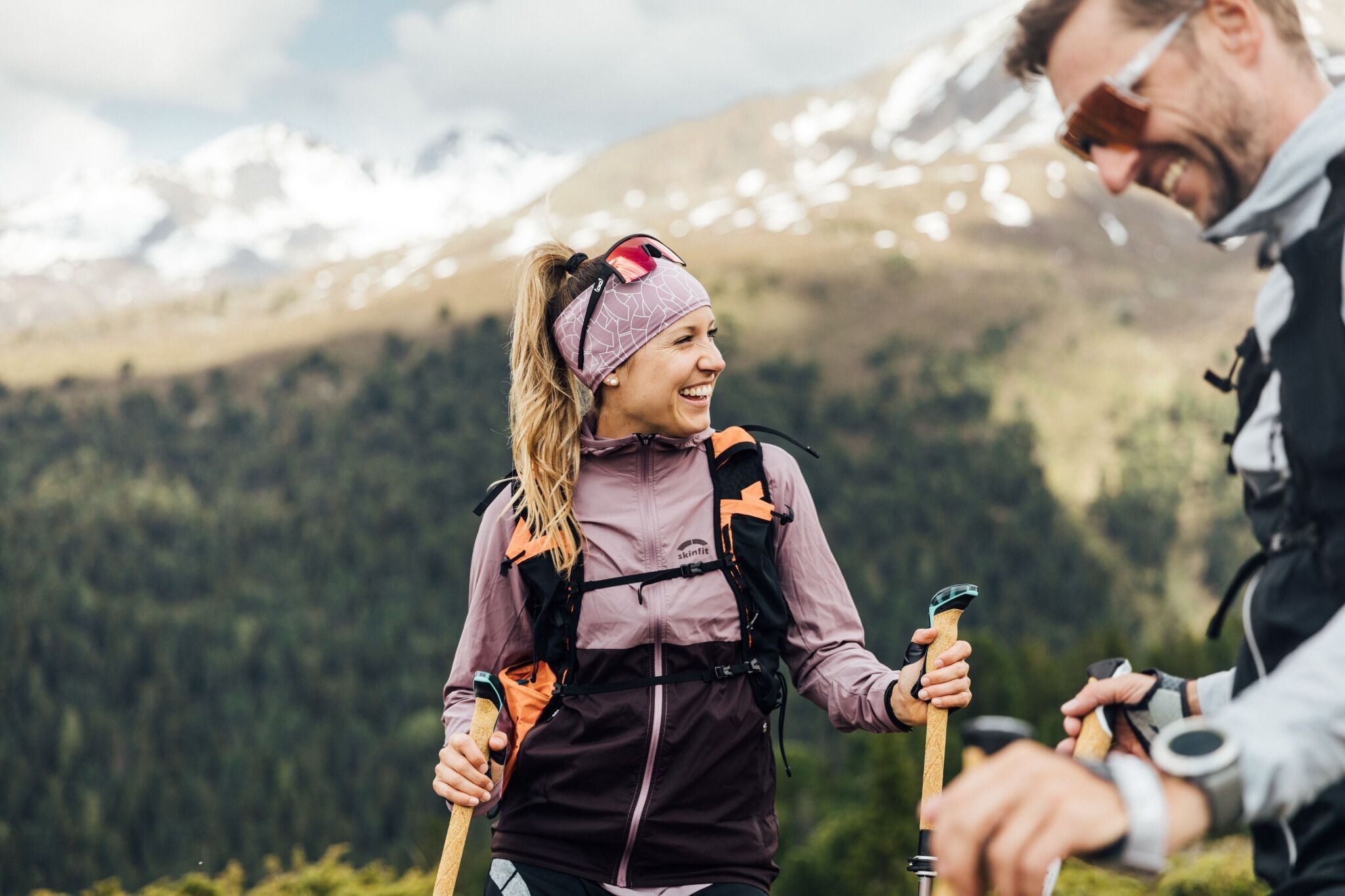
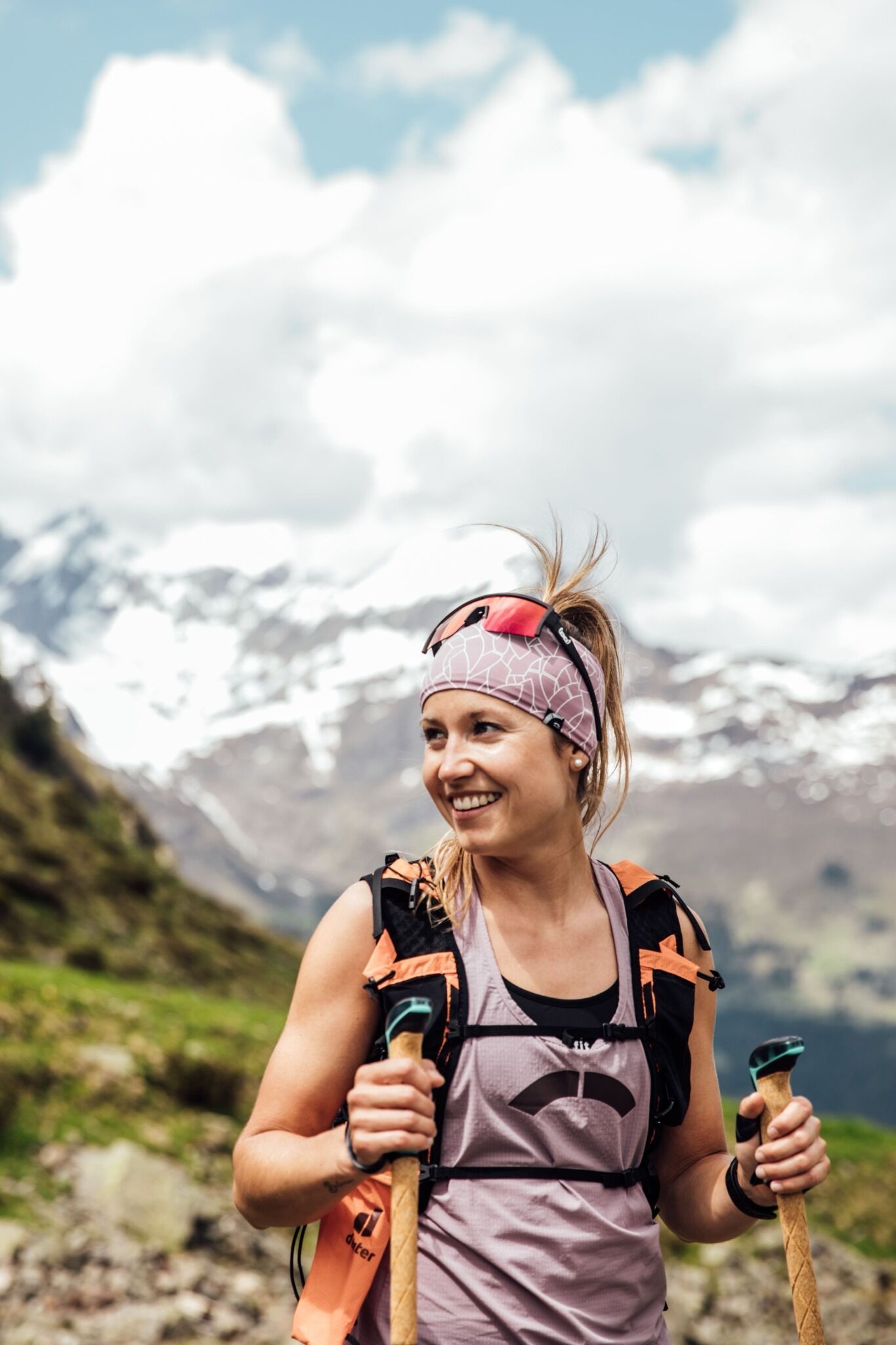
2023_TVB-Ischgl-Paznaun_Sommer_Cross-Trail_Gruebele-See_WEST_3267.jpg © TVB Paznaun-Ischgl 01 Premium long-distance hiking trail - High route PaznaunDifficulty:mediumLength:138.6 kmDuration:60:00 hElevation uphill:10,316 mSee trailSee trail: 01 Premium long-distance hiking trail - High route Paznaun
Etappe_6 (1).jpg © Tourismusverband Paznaun - Ischgl Stage 6: Through the VerwallDifficulty:mediumLength:15.0 kmDuration:8:00 hElevation uphill:1,481 mSee trailSee trail: Stage 6: Through the Verwall
winterwander-kappl-see-2019 (83).jpg © TVB Paznaun-Ischgl 01 "Weiße Weiten” (White Vistas) winter long-distance trailDifficulty:mediumLength:52.7 kmDuration:14:00 hElevation uphill:1,579 mGo to winter hikeGo to winter hike: 01 "Weiße Weiten” (White Vistas) winter long-distance trail
Etappe_2 (2).jpg © Tourismusverband Paznaun - Ischgl Stage 2: Across the Lower ValleyDifficulty:mediumLength:22.6 kmDuration:8:00 hElevation uphill:642 mSee trailSee trail: Stage 2: Across the Lower Valley
Bild © TVB Paznaun-Ischgl 08 Winter Hiking Trail Panoramatour VerwallOpening hours:openDifficulty:mediumLength:7.0 kmDuration:4:00 hElevation uphill:500 mGo to winter hikeGo to winter hike: 08 Winter Hiking Trail Panoramatour Verwall
Bild © Tourismusverband Paznaun - Ischgl 03 Winter Hiking Trail Kops – ZeinisOpening hours:closedDifficulty:mediumLength:14.0 kmDuration:4:00 hElevation uphill:263 mGo to winter hikeGo to winter hike: 03 Winter Hiking Trail Kops – Zeinis
Etappe_8 (1).jpg © Tourismusverband Paznaun - Ischgl Stage 8: the Kieler Trail & Riffler TrailDifficulty:mediumLength:8.7 kmDuration:4:30 hElevation uphill:531 mSee trailSee trail: Stage 8: the Kieler Trail & Riffler Trail
Etappe_1 (6).jpg © Tourismusverband Paznaun Ischgl Stage 1: Beginner's StageDifficulty:mediumLength:13.1 kmDuration:6:00 hElevation uphill:1,285 mSee trailSee trail: Stage 1: Beginner's Stage
Etappe_4 (1).jpg © Stefan Kürzi Stage 4: Upper Valley Dream StageDifficulty:difficultLength:16.7 kmDuration:7:30 hElevation uphill:1,352 mSee trailSee trail: Stage 4: Upper Valley Dream Stage
Etappe_3 (1).jpg © Tourismusverband Paznaun - Ischgl Stage 3: Smuggler's pathDifficulty:mediumLength:12.8 kmDuration:9:00 hElevation uphill:1,565 mSee trailSee trail: Stage 3: Smuggler's path
Ischgl-Tour 12: Bergli-LareinDifficulty:mediumLength:13.2 kmDuration:4:00 hElevation uphill:748 mSee trailSee trail: Ischgl-Tour 12: Bergli-Larein
Blankasee © Tourismusverband Paznaun – Ischgl K.14.: Edmund Graf Hütte - Hoher RifflerDifficulty:difficultLength:21.8 kmDuration:9:00 hElevation uphill:1,987 mSee trailSee trail: K.14.: Edmund Graf Hütte - Hoher Riffler
Seßsee bei der Niederelbehütte © Tourismusverband Paznaun – Ischgl K.11.: KreuzjochspitzeDifficulty:difficultLength:18.8 kmDuration:7:00 hElevation uphill:1,193 mSee trailSee trail: K.11.: Kreuzjochspitze
Ischgl-Tour 02: Erlebniswanderweg Ischgl-IdalpDifficulty:easyLength:7.9 kmDuration:2:00 hElevation uphill:89 mSee trailSee trail: Ischgl-Tour 02: Erlebniswanderweg Ischgl-Idalp
Image © Tourismusverband Paznaun - Ischgl G.10 Sonnenkogel - Friedrichshafener HütteDifficulty:mediumLength:13.6 kmDuration:4:30 hElevation uphill:813 mSee trailSee trail: G.10 Sonnenkogel - Friedrichshafener Hütte
Give feedback for a chance to win a special holiday experience!Click here for the surveyClick here for the survey


.jpg")

.jpg")
.jpg")
.jpg")


.jpg")
.jpg")
.jpg")
.jpg")


