Mountain hikes Lesach Riegel

Kals am Großglockner / Schobergruppe
Difficulty ratings: medium
Route length: 13.2 km
Duration: 5:00 h

Lesach Riegel

Tour information

  • Requirement: medium
  • Length: 13.2 km
  • Duration: 5:00 h
  • Elevation uphill:817 hm
  • Elevation downhill:817 hm
Highest point2,133 m

Starting point

Parkplatz Oberlesach

Finishing point

Parkplatz Oberlesach
  • Fitness level 3 / 6
  • Technique 3 / 6

Best time of year

  • January
  • February
  • March
  • April
  • May
  • June
  • July
  • August
  • September
  • October
  • November
  • December
Source: TVB Osttirol

Description

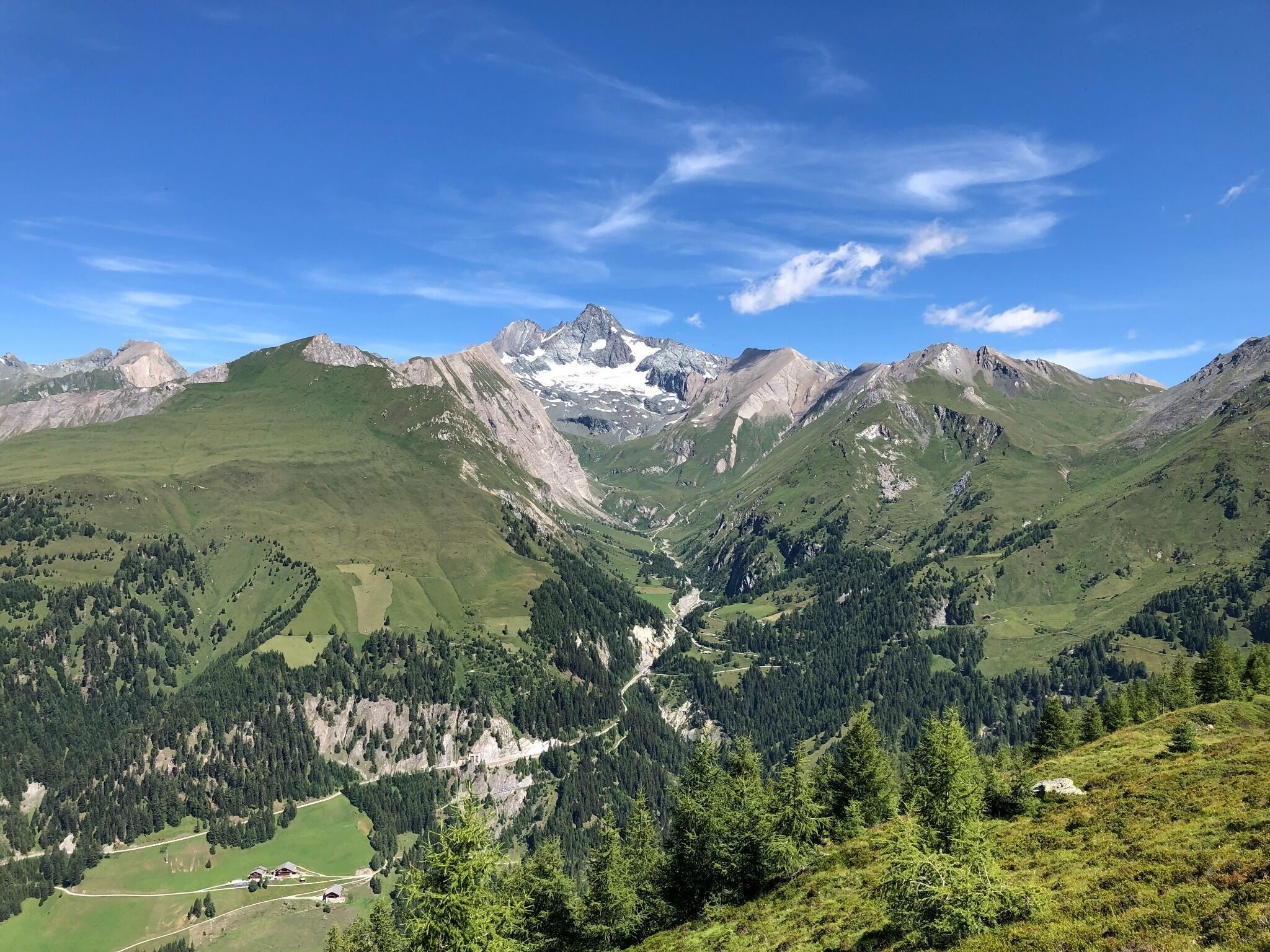
From the district of Kals / Lesach (car park Lesachbruecke or Lesacherhof) to Oberlesach and then continue on the road towards Lesachalmhuette, at the Lesachriegel turnoff continue on the forest path. After a few turns through the forest, the view to the Lesachriegelhuette opens (not managed); from here the view widens to the impressive panorama over the three thousand meter peaks of the Schober Group (Gloedis, Ganot, Hochschober...) and you follow the climb across mountain meadows to the Lesachriegel.

    Also possible as circular trip.
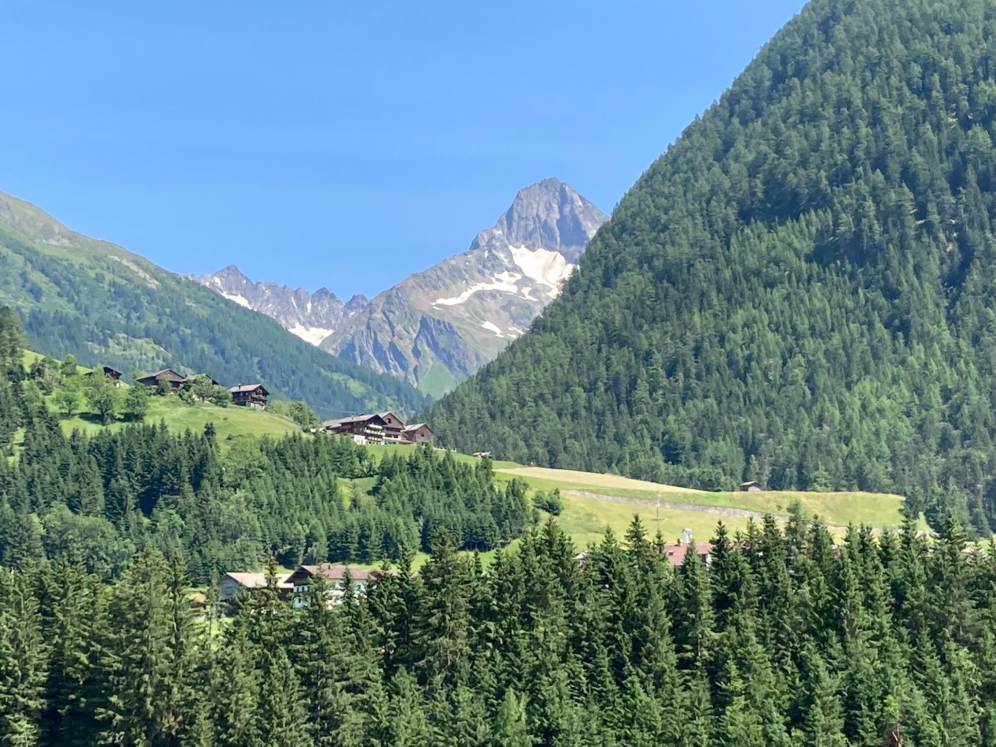
    Lesachalm and back to Lesach via the road or stream path.
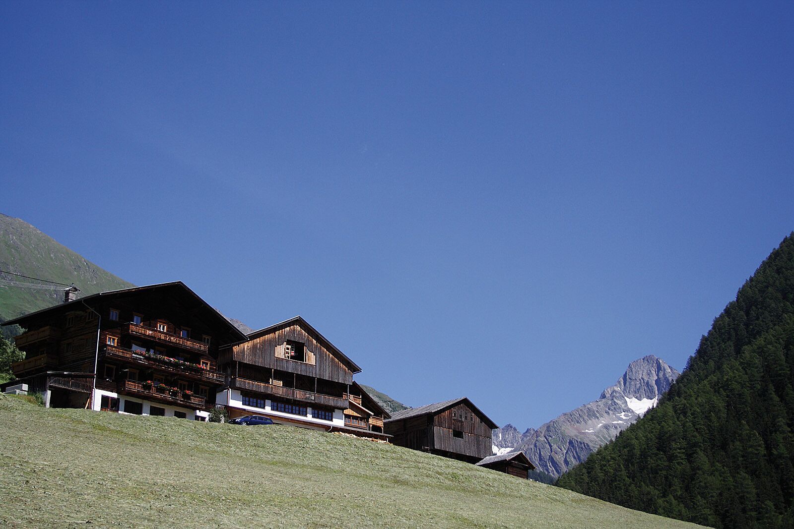
    Please do not forget to bring your own snacks - huts are not open to the public!

Nearby huts and mountain restaurants

Getting here

  • Arrival by public transport

    Bus line 952, bus stop Kals/Lesacherhof

  • Parking

    car park in Lesach or Oberlesach

More tours in the surrounding area

  • Lasörling altitude trail

    Difficulty: medium
    Length: 57.0 km Duration: 25:00 h Elevation uphill: 3,740 m
  • Venediger altitude trail

    Difficulty: difficult
    Length: 55.5 km Duration: 27:00 h Elevation uphill: 3,915 m
  • Figerhorn

    Difficulty: difficult
    Length: 6.5 km Duration: 6:00 h Elevation uphill: 807 m
  • Hike to the Venedigerhaus Innergschlöß

    Difficulty: easy
    Length: 8.5 km Duration: 2:30 h Elevation uphill: 180 m
  • Rotenkogel

    Difficulty: difficult
    Length: 3.9 km Duration: 3:00 h Elevation uphill: 383 m
  • Lasörling 3.098m

    Difficulty: difficult
    Length: 21.9 km Duration: 12:00 h Elevation uphill: 1,940 m
  • Umbal waterfalls nature force trail

    Difficulty: easy
    Length: 5.8 km Duration: 2:30 h Elevation uphill: 250 m
  • Muhs panorama trail

    Difficulty: medium
    Length: 15.2 km Duration: 6:00 h Elevation uphill: 1,090 m
  • Hike to Neuen Reichenberger Hütte

    Difficulty: medium
    Length: 9.1 km Duration: 9:00 h Elevation uphill: 1,210 m
  • Hiking tour to Lasörlinghütte 2.350m

    Difficulty: medium
    Length: 14.6 km Duration: 7:10 h Elevation uphill: 1,080 m
  • Badener Hütte

    Difficulty: difficult
    Length: 23.2 km Duration: 11:30 h Elevation uphill: 1,750 m
  • Lucknerhaus - Stüdlhütte

    Difficulty: medium
    Length: 9.3 km Duration: 5:30 h Elevation uphill: 862 m
  • Hike to Kalser Tauernhaus

    Difficulty: medium
    Length: 12.2 km Duration: 4:00 h Elevation uphill: 244 m
  • Hiking tour to Neue Sajathütte 2.600m

    Difficulty: medium
    Length: 10.3 km Duration: 6:50 h Elevation uphill: 1,080 m
  • Böses Weibl

    Difficulty: difficult
    Length: 14.1 km Duration: 8:00 h Elevation uphill: 1,193 m
  • Eagle Walk Stage O1: Ströden - Johannis Hütte

    Difficulty: medium
    Length: 13.0 km Duration: 6:30 h Elevation uphill: 1,430 m
Newsletter

The mountain is calling? So does our newsletter!

In our monthly newsletter we reveal the best holiday tips for Tyrol.