
Place:
Krimml
:
Alpine pasture / hut / mountain restaurant
Breathtaking panoramic view!
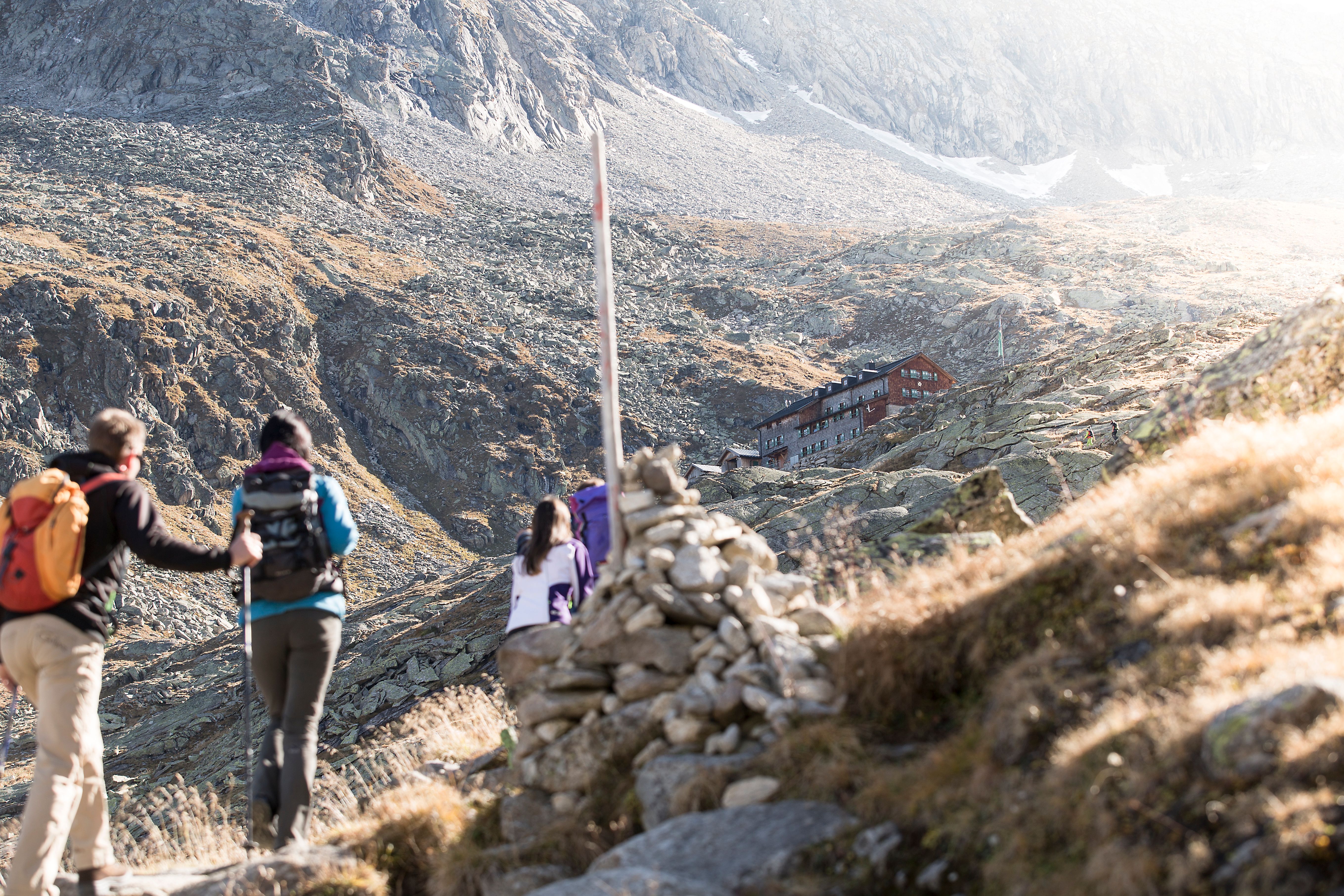
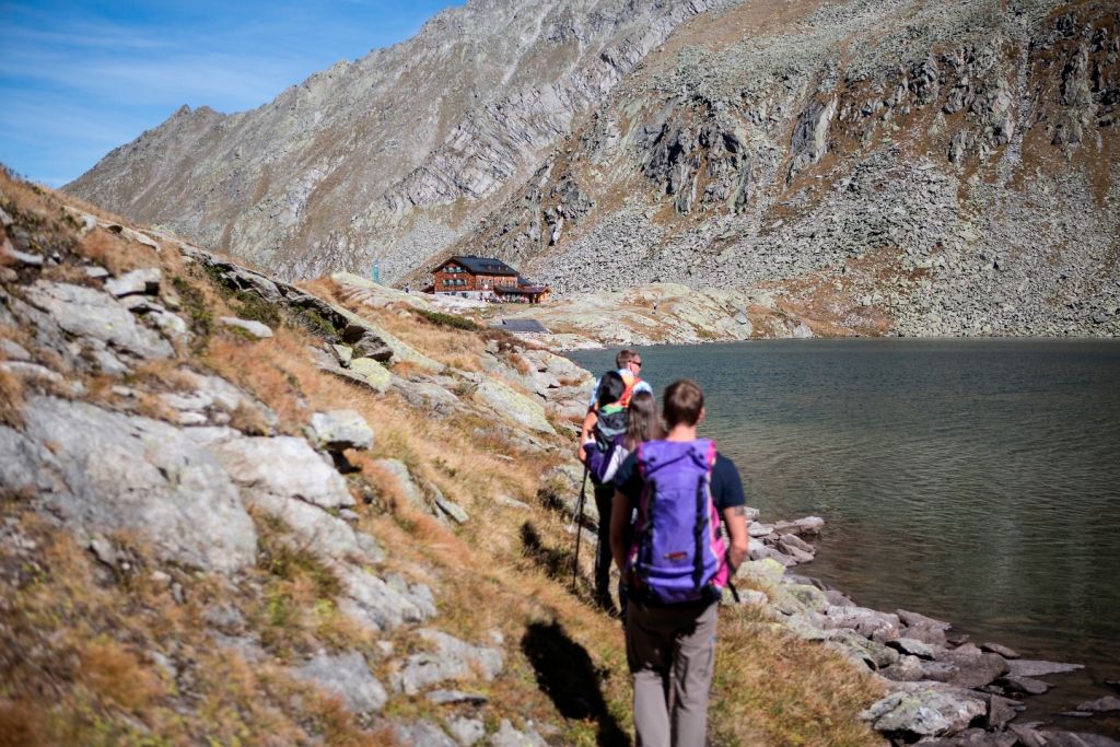
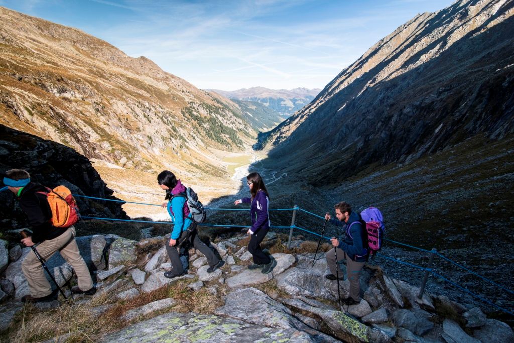
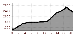
We begin our tour on the southern outskirts of the village of Krimml. The route first leads us along the panoramic track that follows the Krimml Waterfalls all the way up to the topmost waterfall. This is where the Krimml Achental valley begins, one of the most beautiful high valleys in the Hohe Tauern National Park. At the heart of the valley is the Krimml Tauernhaus where we enjoy a well-earned break before continuing in a northerly direction past the chapel, up to the Rainbachtal valley and, a few bends further, to Schlagegg. Just after Schlagegg we turn right down the steep track and then uphill again in zigzags to the Rainbachsee lake (2,404 m) and left along the lakeside via the rope-secured track to the Rainbachscharte col (2,724 m). From here a track descends, past the Obere Wildgerlossee lake, down in serpentines to the Untere Wildgerlossee lake and along its banks to the Zittauer Hütte mountain hut. The hut enjoys a unique, idyllic lakeside location at the foot of the Reichenspitz mountain. Here, at an altitude of 2,329 m, is where we spend our first night.


.jpg")
.jpg")


.jpg")


.jpg")
