
Place:
Gerlos
:
Alpine pasture / hut / mountain restaurant
The pulse increases !
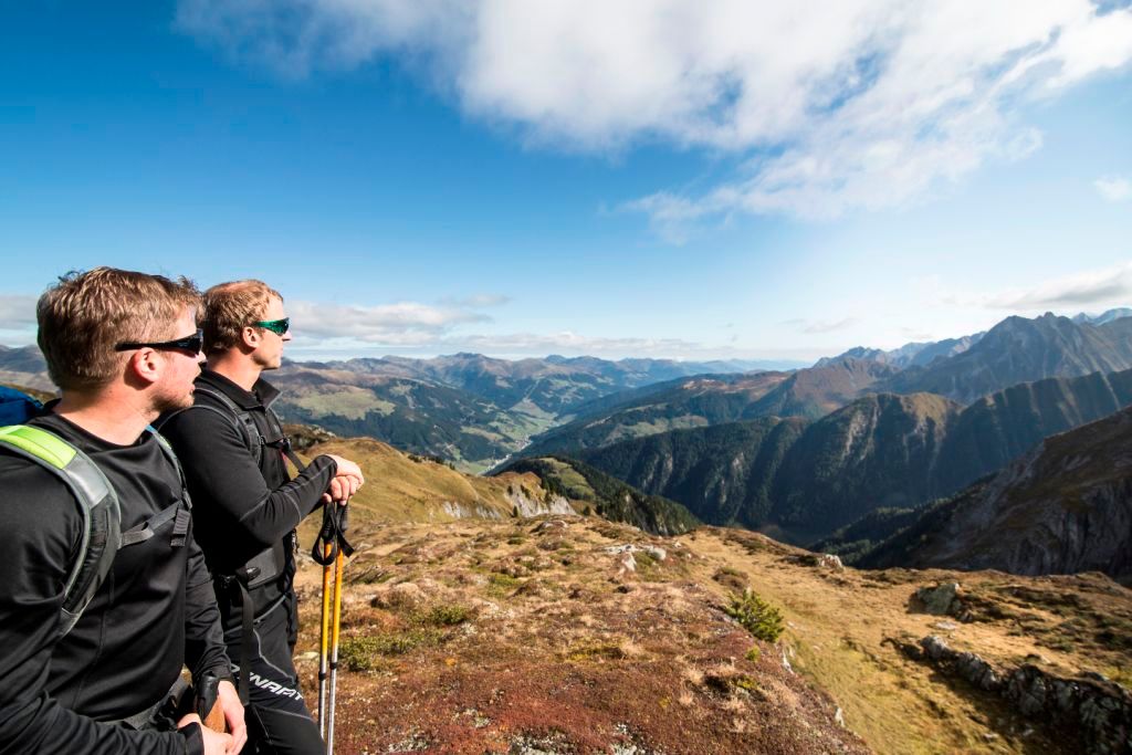
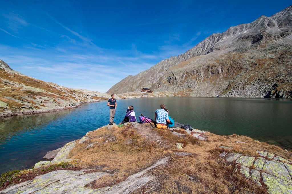
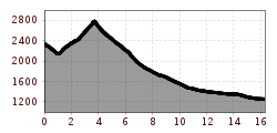
The day begins with a gentle descent. After 10 minutes we turn off to the left across the moraine and climb down approximately 100 metres to the glacial stream. After crossing the stream the path initially leads over grassy inclines, later over scree slopes, and takes us to the col in approximately 2 hours. Just short of the Keeskarscharte col a rock ledge (secured with wire ropes) leads to the pass. Steep steps lead downwards towards a rock protrusion offering a stunning view of the Schönachkees glacier with the Zillerkopf summit. A track, well secured with wire ropes, leads downwards past lush green meadows to the Pasteinalm and further on to the Issalm. After passing the Lackenalm (where walkers can enjoy a bite to eat) we leave the Schönachtal valley and arrive in the village of Gerlos.


