Description
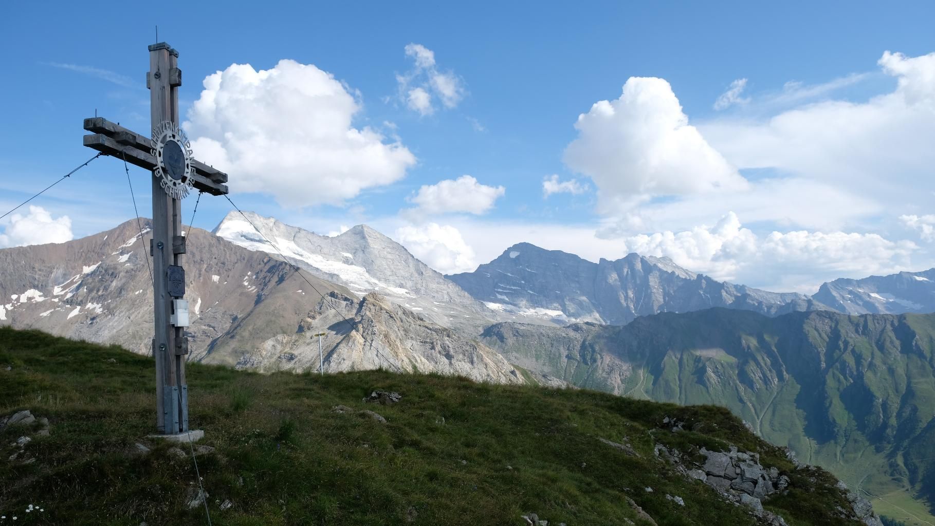
From the hamlet of Glinzen, the trail first climbs steadily through sparse larch forests and alpine meadows to the Seealm, which lies below the summit in a large basin. After a short ascent in the basin, the beautifully laid-out trail leads over the ridge to the west side, which opens up the view of the hamlet of Toldern and the Wildlahn valley. A few more serpentines have to be negotiated before you finally reach the summit. Here, the nearby Olperer massif awaits the climber as well as great views of the Schmirntal valley and the shapely, pointed summit pyramid of the Hohe Warte ("Hoger").
ROUTE DESCRIPTION
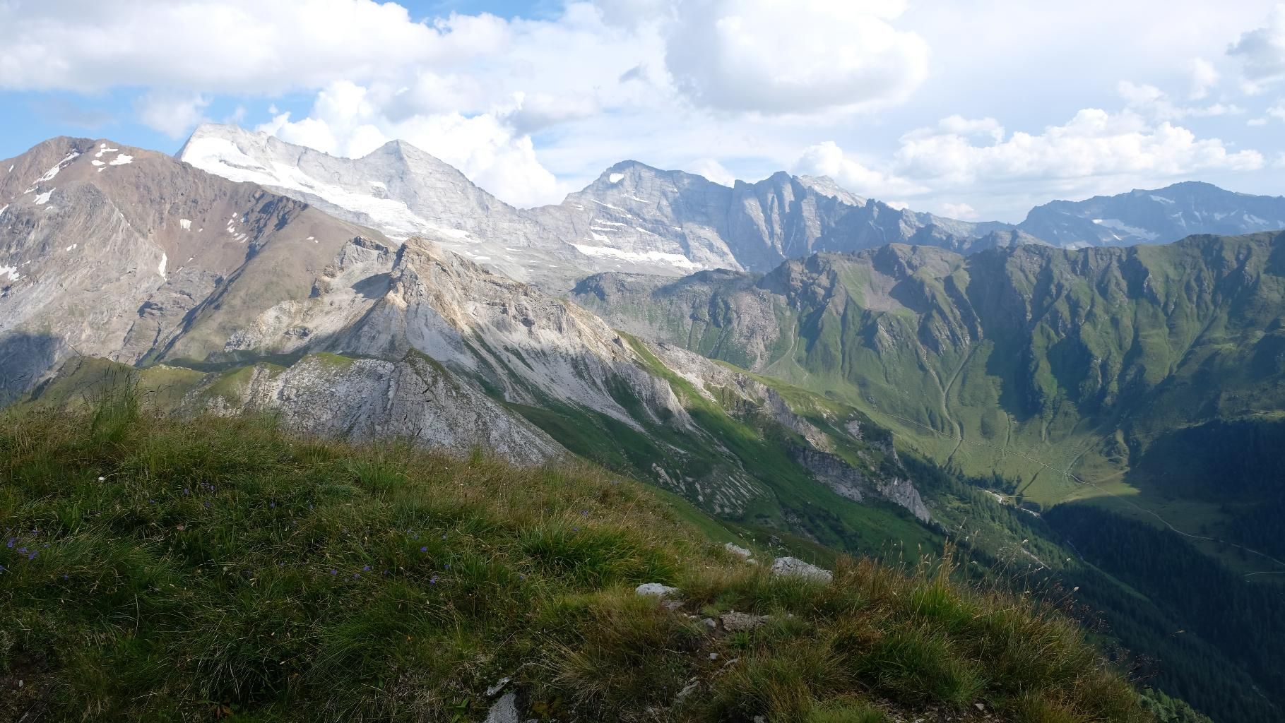
From the bridge that leads over the Schmirnbach stream to the right side of the valley, the trail first follows a forest road into the valley, past a small pond. After a few hairpin bends, for which there are usually shortcuts, the trail for the ascent to the Seealm branches off on a large alpine pasture area, marked by a signpost. You soon leave the alpine pastures behind and enter a sparse larch forest, which you climb through consistently. About half an hour later, you reach a forest road again, which you only cross - it leads directly to the Seealm hut, which the hiker does not pass directly. There is one last crest to overcome before you suddenly find yourself in the wide summit basin and can see as far as the cross for the first time. At first, you walk leisurely along the basin, but not much later the path turns right over the ridge and onto the west side of the mountain. While in the summit basin you mainly had a good view of Kasern and the Kluppental valley, here you hike in a wide arc high above Toldern and the front Schmirntal valley. This part of the tour is particularly beautiful because of its exposure and the wide view, even if the path is a little more difficult to find. Finally, after a short steep ascent, you reach an avalanche barrier, which you climb through before taking the last serpentines up to the summit. Awaiting you there is a fantastic panoramic view, including the Olperermassiv, the Hohe Warte and the entire Schmirntal.
TIP FROM THE AUTHOR
Experienced mountaineers can continue from the summit over the ridge to the Ramsgrubensee lake and the Schoberspitzen peaks and then descend into the Wildlahnertal valley.


.jpg")
")


 (1).jpg")


.JPG")
