Description
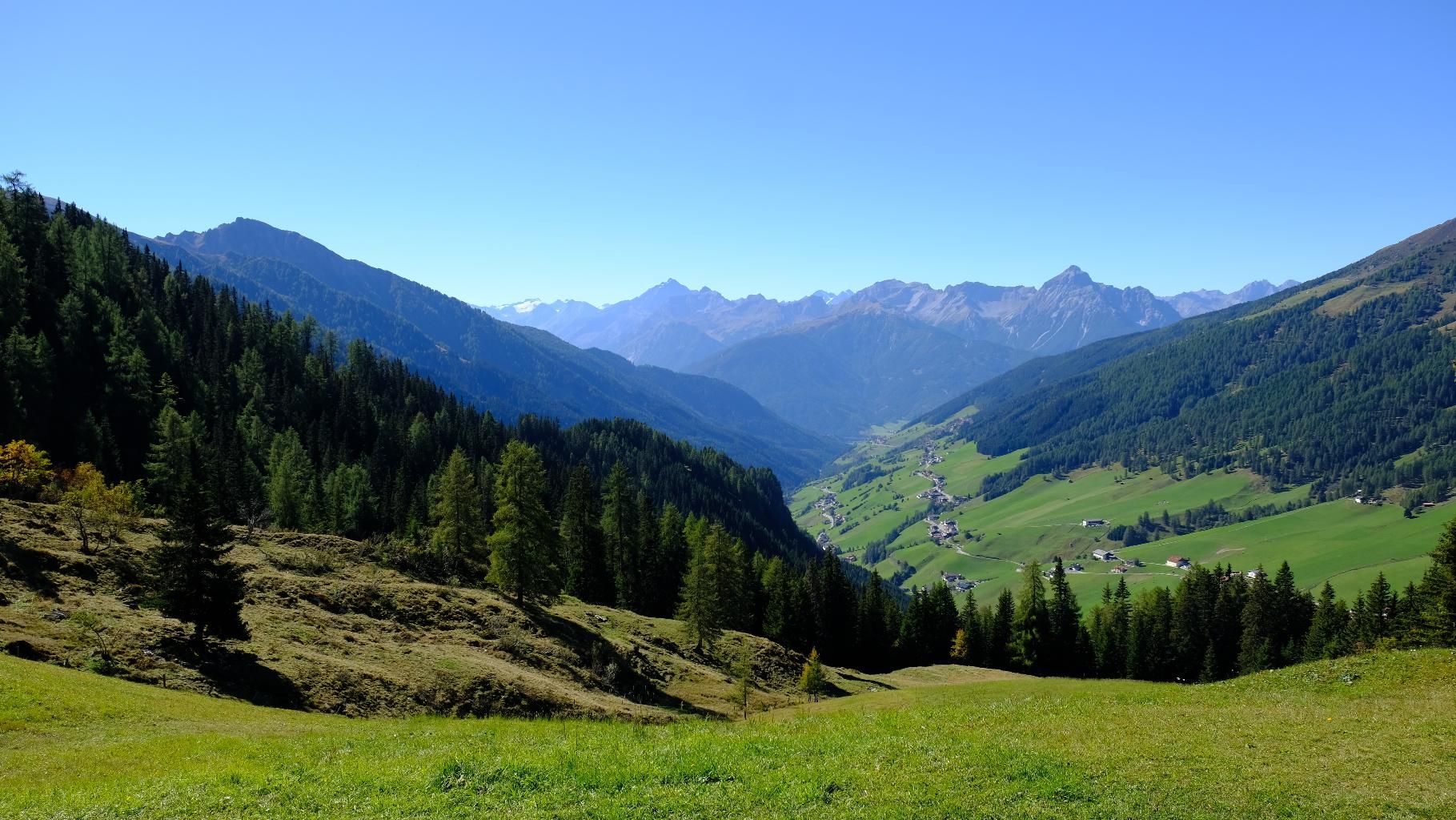
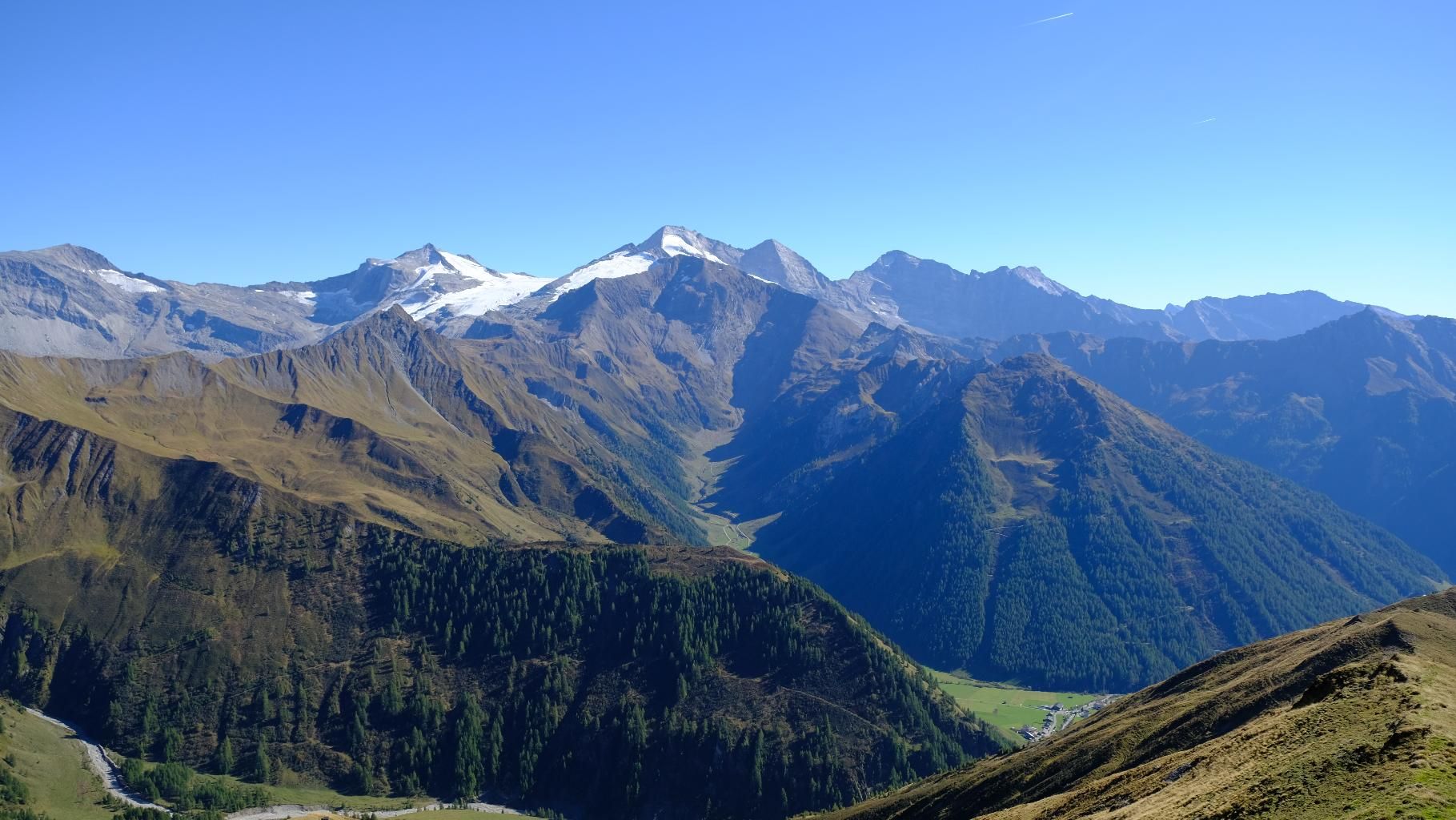
From the parking lot you first take a well-trodden path through the forest up to the Naviser Hütte. There the path changes to a mountain pasture path and leads over pastures up to the beautifully situated and rustic Stöcklalm. We leave this behind us somewhat wistfully, but are looking forward to the later stop for refreshments. We continue on, past countless beautiful flowers, over meadowed terrain from crest to crest up to a small saddle, from where, for the first time since the start of the ascent, we have the goal, the summit, in front of us. With reaching the saddle, the terrain widens, the one or other small lake but also the distant pointed peaks of the Tuxer main ridge become visible. From here, the path finally leads over the ridge as the last section of the tour up to the cross. You will be rewarded for the effort of the ascent with a great panoramic view, from the highest of the Tux and Zillertal Alps over the Wipptal to the glaciers of the Stubai mountains. In addition, the one or other flock of sheep, which is below the summit on the sunny side, will certainly make itself felt.
ROUTE DESCRIPTION
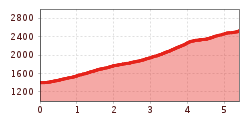
From the Schranzberg car park, first take the forest path no. 32 to the Naviser Hütte and from there follow the alpine path to the Stöcklalm. If you want to take it a little easier, you can also take the forest path to the alpine pastures. From the beautifully situated Stöcklalm, a rather steep path with the no. 25 leads up in serpentines to the mountain ridge and from there first over a smaller ground and then over the ridge to the cross.
TIP OF THE AUTHOR
Rustic ambience, great homemade products and wonderful views - the alpine huts that the tour passes have a lot to offer and are definitely worth a visit.