
Opening hours:Open today
Place:Mörtschach
:Alpine pasture / hut / mountain restaurant
The Petzeck is the highest mountain in the Schobergruppe and yet technically one of the easier three-thousand-metre peaks in this rugged mountain range. The ascent leads past Carinthia's largest mountain lake, the dreamily situated Wangenitzsee and Kreuzsee.
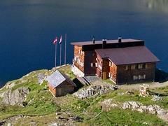
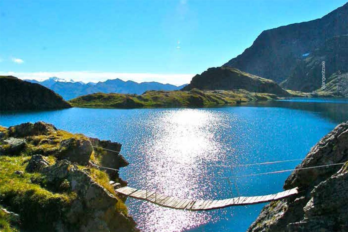
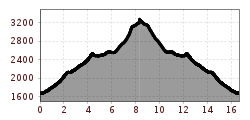
From the Seichenbrunn car park, cross the Debantbach to the right and follow the well-marked trail via the Niedere Seescharte between Kreuzsee and Wangenitzsee to the Wangenitzseehütte. From there, follow the marked trail first in an easterly direction past a climbing section (wire rope insurance), then in a northerly direction on a partly steeply ascending trail, finally crossing glacier remains on the summit ascent to the highest peak of the Schobergruppe.
Mondays and Thursdays with the hiking bus to the Seichenbrunn car park.
Seichenbrunn car park


_FULL12.jpg")
.jpeg")
