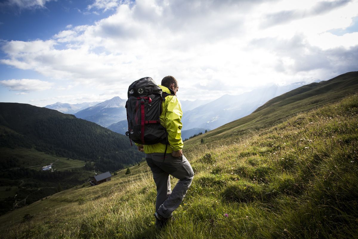
Lechtaler Höhenweg: 3. Etappe Kasierjochhaus-Ansbacher HütteDifficulty: difficult Length: 7.8 km Duration: 4:45 h Elevation uphill: 855 m See trailSee trail: Lechtaler Höhenweg: 3. Etappe Kasierjochhaus-Ansbacher Hütte
Lechtaler Höhenweg: 3. Etappe Kasierjochhaus-Ansbacher HütteDifficulty: difficult Length: 11.2 km Duration: 6:45 h Elevation uphill: 1,037 m See trailSee trail: Lechtaler Höhenweg: 3. Etappe Kasierjochhaus-Ansbacher Hütte
Gramai Alm - Gramai Hochleger - Sonnjoch - Gramai AlmDifficulty: difficult Length: 10.8 km Duration: 6:30 h Elevation uphill: 1,200 m See trailSee trail: Gramai Alm - Gramai Hochleger - Sonnjoch - Gramai Alm
Foodie TrailDifficulty: easy Length: 3.0 km Duration: 1:39 h Elevation uphill: 210 m See trailSee trail: Foodie Trail
Summit hike Salfainssee - Schaflegerkogel (2,405 m) - Kemater Alm mountain hutDifficulty: medium Length: 14.8 km Duration: 7:00 h Elevation uphill: 1,029 m See trailSee trail: Summit hike Salfainssee - Schaflegerkogel (2,405 m) - Kemater Alm mountain hut
BiathlonpfadDifficulty: medium Length: 14.0 km Duration: 4:00 h Elevation uphill: 360 m See trailSee trail: Biathlonpfad
BichlachrundeDifficulty: easy Length: 10.5 km Duration: 3:30 h Elevation uphill: 295 m See trailSee trail: Bichlachrunde
The Wildschönau High TrailDifficulty: medium Length: 14.8 km Duration: 6:30 h Elevation uphill: 760 m See trailSee trail: The Wildschönau High Trail
TaubenseeDifficulty: medium Length: 13.0 km Duration: 5:00 h Elevation uphill: 620 m See trailSee trail: Taubensee
SchafsiedelDifficulty: medium Length: 15.6 km Duration: 6:45 h Elevation uphill: 1,280 m See trailSee trail: Schafsiedel
Hike to Kalser TauernhausDifficulty: medium Length: 12.2 km Duration: 4:00 h Elevation uphill: 244 m See trailSee trail: Hike to Kalser Tauernhaus
Hiking tour to Lasörlinghütte 2.350mDifficulty: medium Length: 14.6 km Duration: 7:10 h Elevation uphill: 1,080 m See trailSee trail: Hiking tour to Lasörlinghütte 2.350m
Rundtour Gargglerin - TribulaunhütteDifficulty: medium Length: 12.3 km Duration: 5:30 h Elevation uphill: 1,387 m See trailSee trail: Rundtour Gargglerin - Tribulaunhütte
Venediger altitude trailDifficulty: difficult Length: 55.5 km Duration: 27:00 h Elevation uphill: 3,915 m See trailSee trail: Venediger altitude trail
Dalfaz AlmDifficulty: medium Length: 10.5 km Duration: 4:30 h Elevation uphill: 840 m See trailSee trail: Dalfaz Alm
Along the Goetheweg trail to thePfeishütte mountain hutDifficulty: difficult Length: 5.2 km Duration: 5:00 h Elevation uphill: 344 m See trailSee trail: Along the Goetheweg trail to thePfeishütte mountain hut
FigerhornDifficulty: difficult Length: 6.5 km Duration: 6:00 h Elevation uphill: 807 m See trailSee trail: Figerhorn
Nauders mountain trailDifficulty: medium Length: 18.0 km Duration: 7:00 h Elevation uphill: 407 m See trailSee trail: Nauders mountain trail
Kühtai - SulzkogelDifficulty: medium Length: 12.7 km Duration: 7:21 h Elevation uphill: 1,079 m See trailSee trail: Kühtai - Sulzkogel
Sunny side hikingtour Kaiser valleyOpening hours: open Difficulty: medium Length: 15.0 km Duration: 7:00 h Elevation uphill: 1,120 m See trailSee trail: Sunny side hikingtour Kaiser valley
Summit hike PendlingDifficulty: medium Length: 8.6 km Duration: 4:00 h Elevation uphill: 600 m See trailSee trail: Summit hike Pendling
Schwarzer and Grüner SeeDifficulty: easy Length: 8.3 km Duration: 4:30 h Elevation uphill: 368 m See trailSee trail: Schwarzer and Grüner See
Faltegartenköpfl peakDifficulty: medium Length: 8.5 km Duration: 4:30 h Elevation uphill: 509 m See trailSee trail: Faltegartenköpfl peak
Solsteinhaus mountain hut (Alpenverein route 213)Difficulty: medium Length: 13.6 km Duration: 6:22 h Elevation uphill: 876 m See trailSee trail: Solsteinhaus mountain hut (Alpenverein route 213)
Marmot TrailOpening hours: open Difficulty: easy Length: 573 m Duration: 0:20 h Elevation uphill: 12 m See trailSee trail: Marmot Trail
Give feedback for a chance to win a special holiday experience!Click here for the surveyClick here for the survey


 neu.jpg")


")
.jpg")


.jpg")


