
Opening hours:Today closed
Place:Steinberg am Rofan
:Restaurant
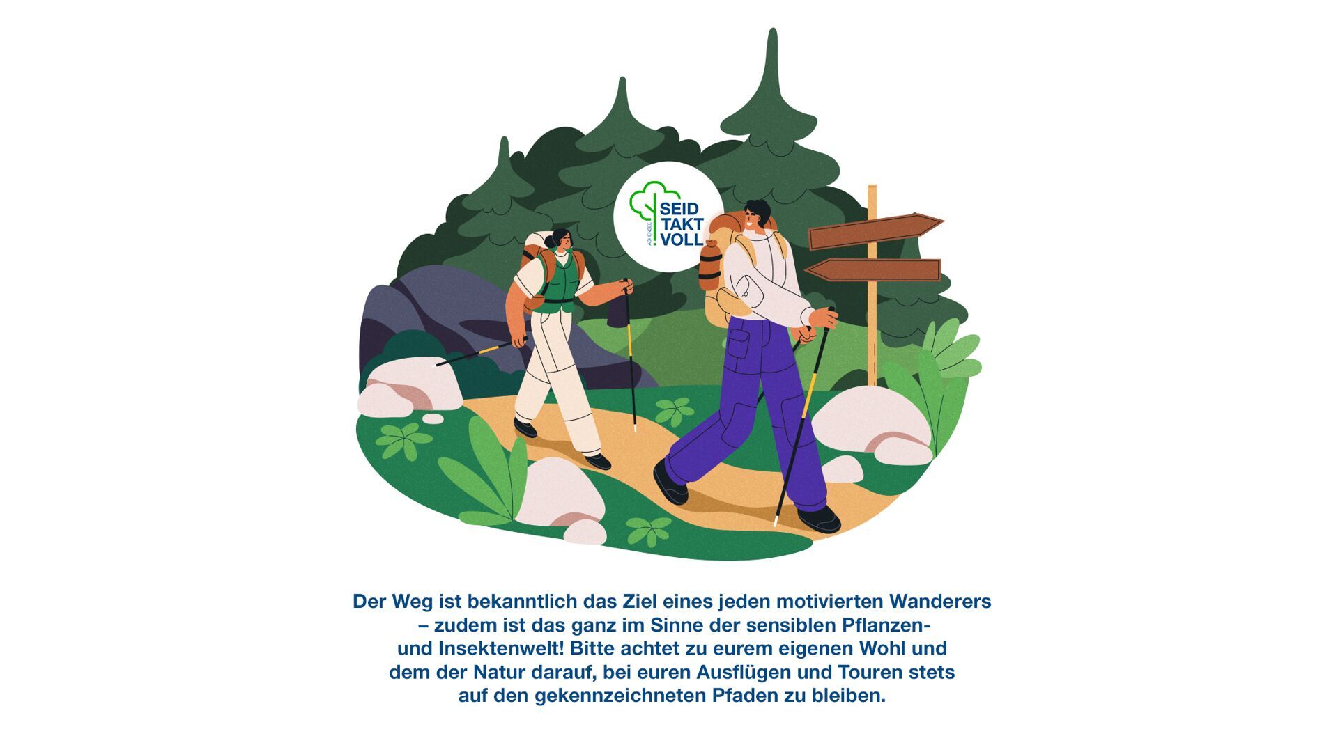
Easy circular hike in Steinberg with a Place of Power (peaceful forest platform), scenic views, forest and meadow paths, and return via Durrahof and Enterhof.
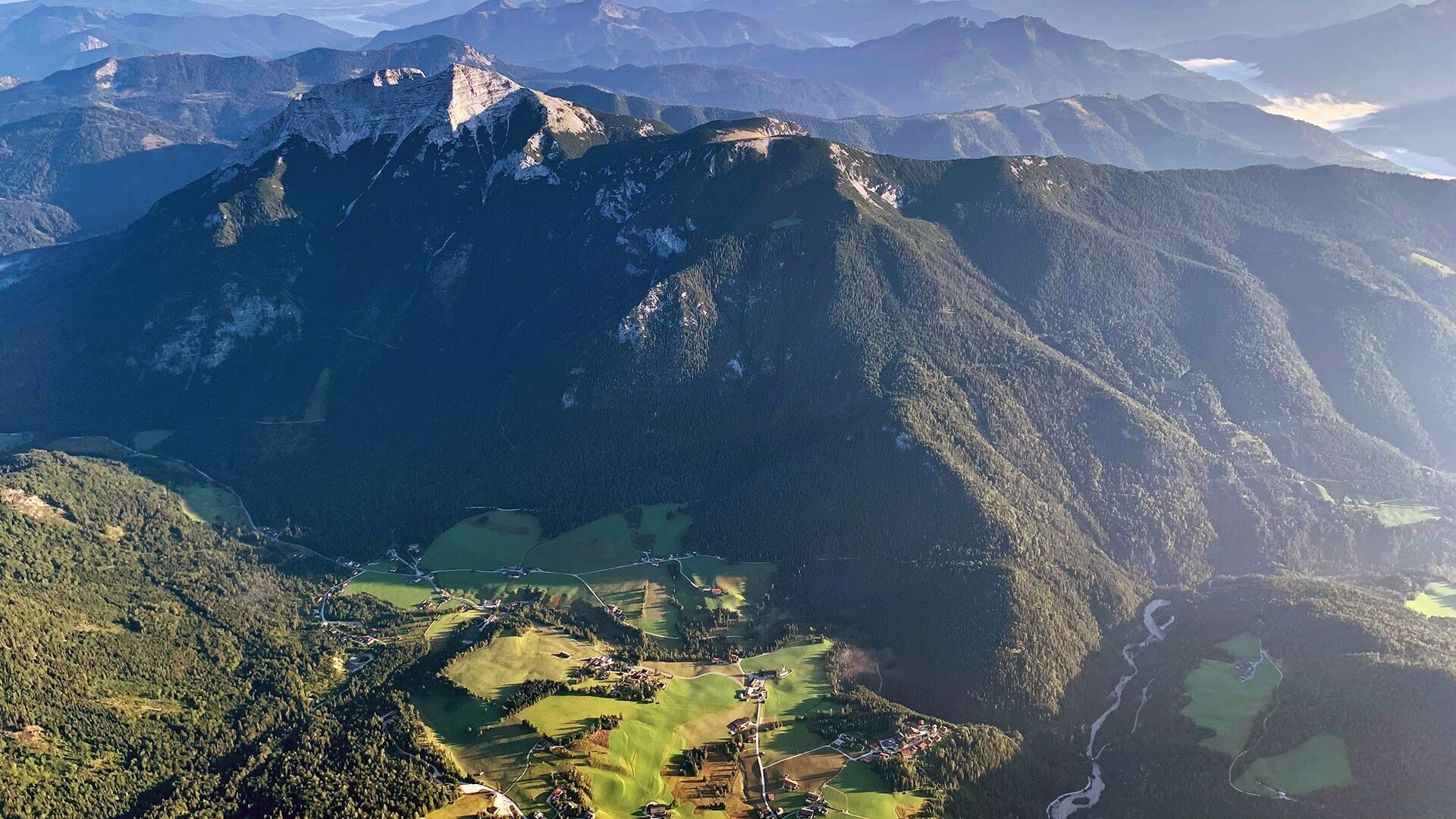
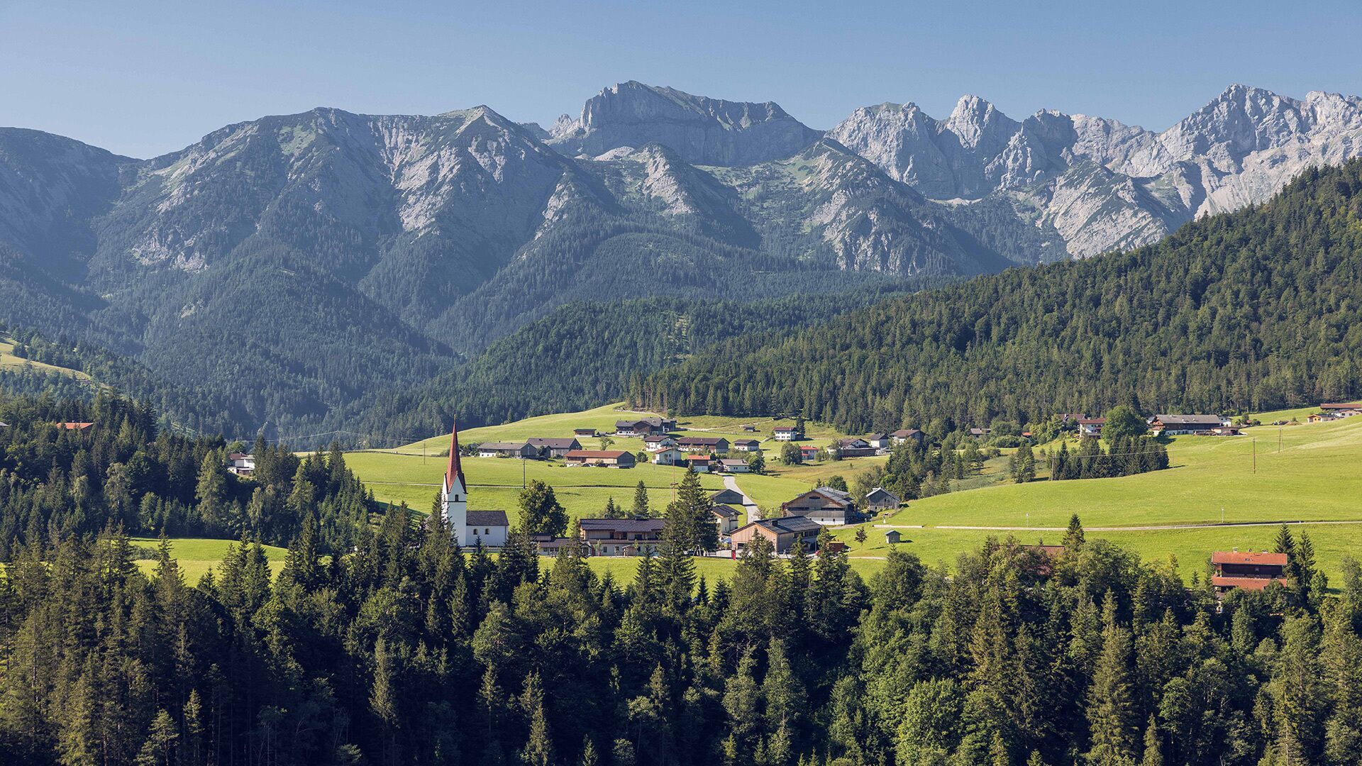
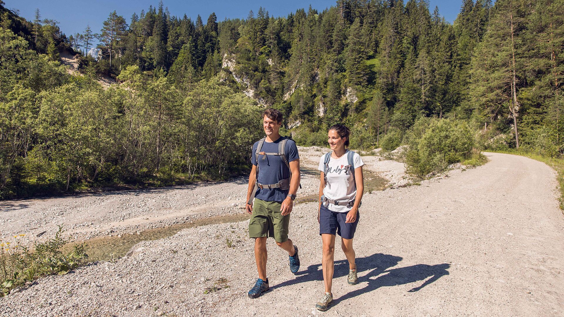
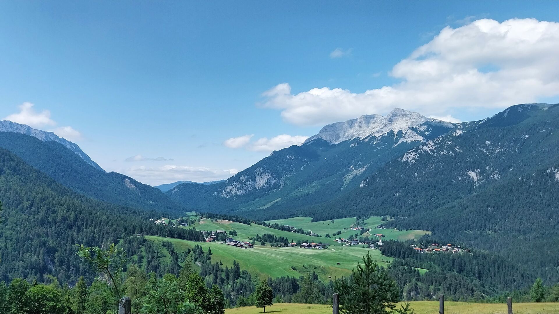
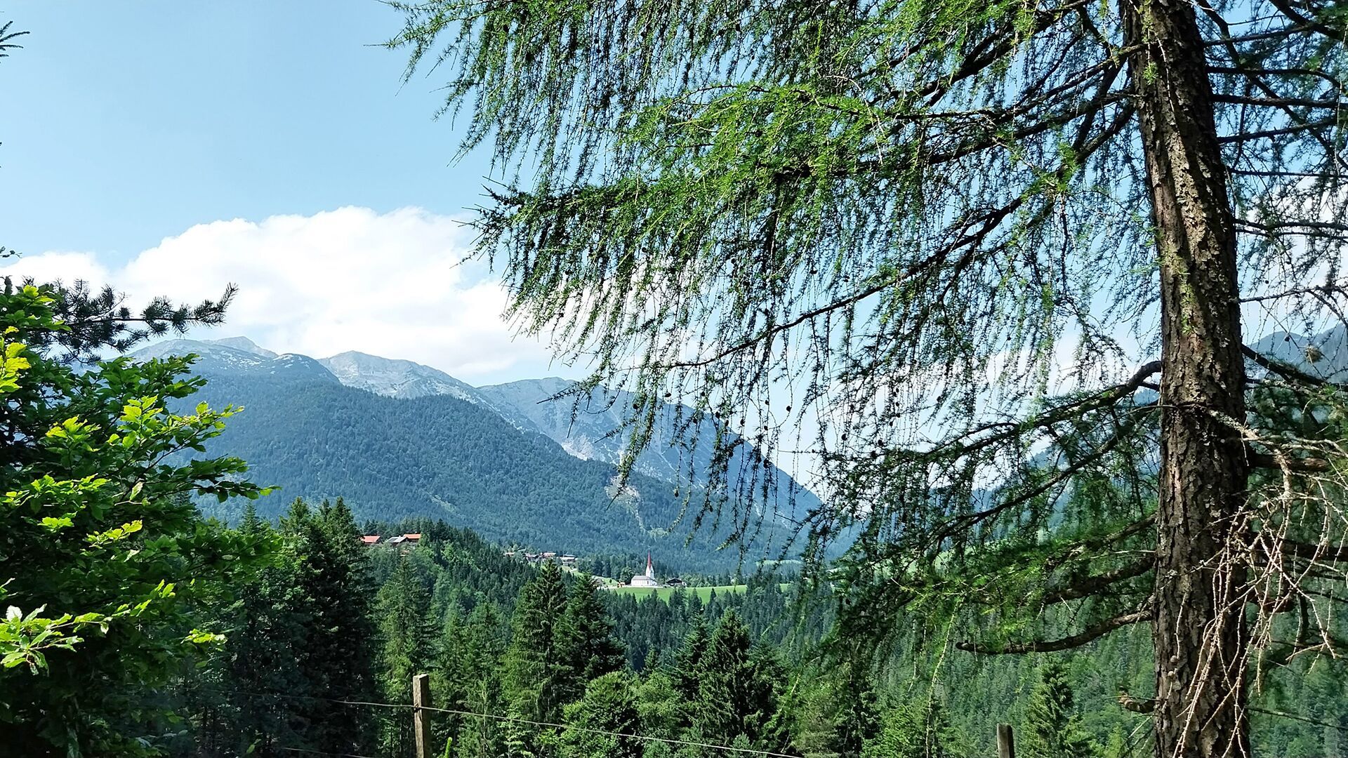

From the parish church Steinberg (1,015 metres), walk in a northerly direction past the two houses on the left and descend to the Mühlbach stream. After crossing the stream, follow the asphalt road to the right until you reach the so-called “Loch”, where the trail branches off to the right. Cross the bridge and walk around the barrier. The path runs alongside the Grundache stream towards Schmalzklause. Before the trail leads through a rock tunnel, you will pass a serene place of power - a quiet viewing platform made of local larch wood, which invites you to pause and relax. The route then turns left, passing the Holzknechthütte hut and continuing along the forest road. A path then branches off to the left, climbing gently through a mix of forest and meadows and over a bridge up to the Külermahd. From there, you continue north on alpine and forest paths to the Durrahof. The return route takes you via the Enterhof (not serviced), leading back to the parish church.
Take the regional bus (line 4080 to Achenkirch, then transfer to line 7801) to Steinberg am Rofan, near the parish church and municipal office. Alight at the “Steinberg am Rofan Kirche" stop.
Car park Gemeindeamt Steinberg


.jpg")


.jpg")


