Mountain hikes Steinberg - Village Trail - Steinberg

Steinberg am Rofan / Brandenberger Alpen (Rofan)
Difficulty ratings: easy
Route length: 4.4 km
Duration: 1:15 h

This route winds through forests and meadows with some stunning views of the Guffert and the Rofan mountains.

Tour information

  • Requirement: easy
  • Length: 4.4 km
  • Duration: 1:15 h
  • Elevation uphill:90 hm
  • Elevation downhill:90 hm
Highest point1,070 m

Starting point

Steinberg am Rofan, parish church

Finishing point

Steinberg am Rofan, parish church
  • Fitness level 1 / 6
  • Technique 1 / 6

Features

  • Circular route
  • Suitable for families
  • suitable for pushchairs

Best time of year

  • January
  • February
  • March
  • April
  • May
  • June
  • July
  • August
  • September
  • October
  • November
  • December

Trail condition

asphalt road, dirt road

Equipment

Sturdy boots (ankle-high hiking boots), weather appropriate clothing. Telescopic hiking poles are recommended.
Source: Achensee Tourismus

Description

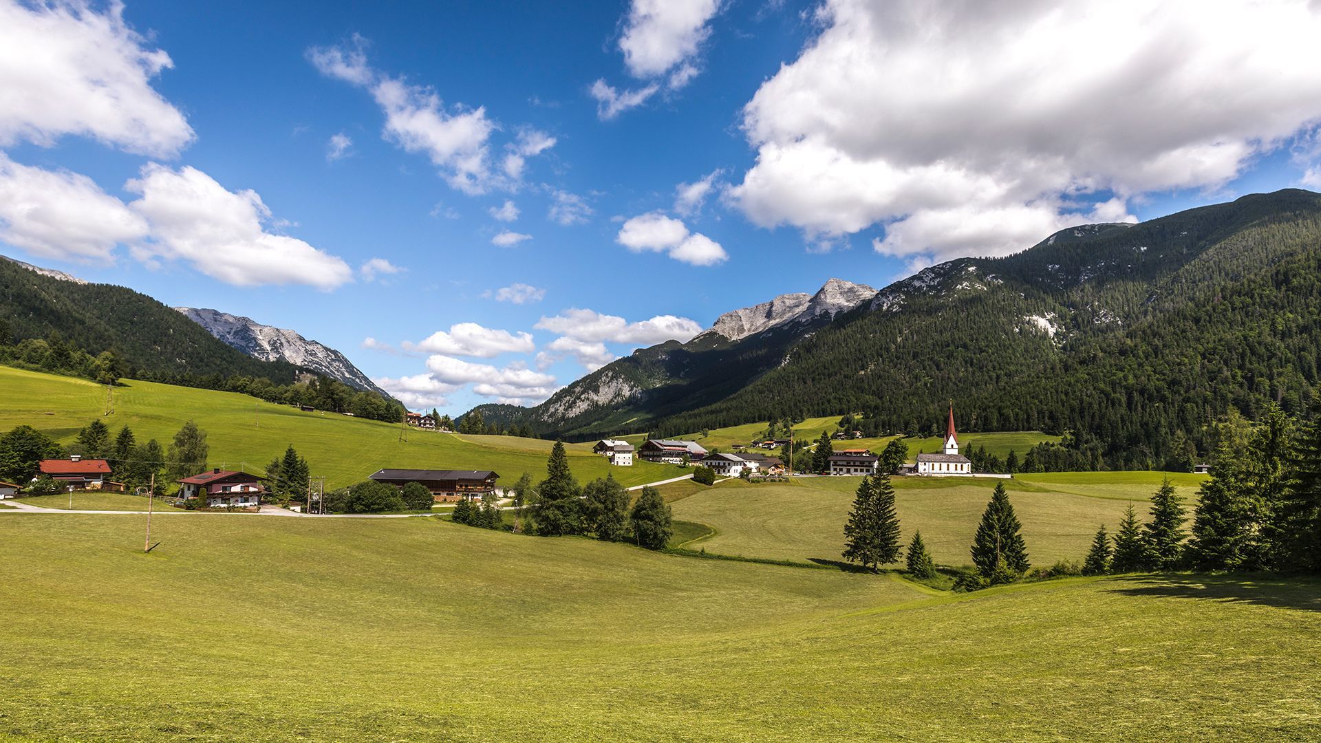
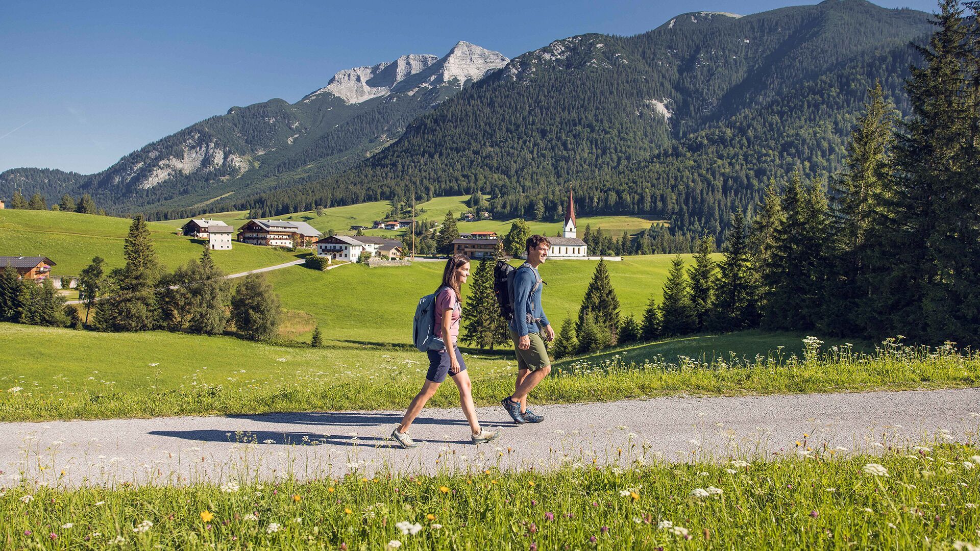
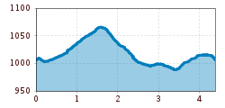
From the parish church Steinberg, follow the village road in the direction of the Rofan lifts II. Walk straight on until you arrive at the festival hall and return to the village road. From here, follow the path along the right-hand side of the road and walk back to the parish church.

Nearby huts and mountain restaurants

Getting here

  • Arrival by public transport

    Take the regional bus (line 4080 to Achenkirch, then transfer to line 7801) to Steinberg am Rofan, near the parish church and municipal office. Alight at the “Steinberg am Rofan Kirche" stop.

  • Parking

    Car park Gemeindeamt Steinberg (free of charge)

More tours in the surrounding area

Newsletter

The mountain is calling? So does our newsletter!

In our monthly newsletter we reveal the best holiday tips for Tyrol.