Gletscher Restaurant Winter © Bernhard Fueruter Gletscher-Restaurant 2.840mOpening hours:Open todayPlace:St. Leonhard im Pitztal:Alpine pasture / hut / mountain restaurantsee restaurant detailssee restaurant details: Gletscher-Restaurant 2.840m
Summit hike Salfainssee - Schaflegerkogel (2,405 m) - Kemater Alm mountain hutDifficulty:mediumLength:14.8 kmDuration:7:00 hElevation uphill:1,029 mSee trailSee trail: Summit hike Salfainssee - Schaflegerkogel (2,405 m) - Kemater Alm mountain hut
Filmoor-Standschützenhütte über das LeitertalDifficulty:mediumLength:8.5 kmDuration:5:30 hElevation uphill:900 mSee trailSee trail: Filmoor-Standschützenhütte über das Leitertal
Round tour OttenspitzDifficulty:mediumLength:7.0 kmDuration:3:30 hElevation uphill:735 mSee trailSee trail: Round tour Ottenspitz
Stage of the Berliner Höhenweg (Zillertal Runde): Gamshütte - FriesenberghausDifficulty:difficultLength:14.6 kmDuration:9:30 hElevation uphill:1,100 mSee trailSee trail: Stage of the Berliner Höhenweg (Zillertal Runde): Gamshütte - Friesenberghaus
Bergwandern © Lechtal Tourismus Lechtaler Höhenweg: 2nd stage Leutkircher Hütte-KaiserjochhausDifficulty:difficultLength:4.4 kmDuration:2:15 hElevation uphill:325 mSee trailSee trail: Lechtaler Höhenweg: 2nd stage Leutkircher Hütte-Kaiserjochhaus
Kirchdachspitze (2.840m) from TrinsDifficulty:difficultLength:16.0 kmDuration:8:00 hElevation uphill:1,609 mSee trailSee trail: Kirchdachspitze (2.840m) from Trins
Berwang circular hike AlmkopfDifficulty:easyLength:8.9 kmDuration:3:30 hElevation uphill:466 mSee trailSee trail: Berwang circular hike Almkopf
31732266.jpg © TVB Wipptal Round tour Griesberg-Wolfendorn-Wildseespitz-Landshuter Hütte-VenntallDifficulty:difficultLength:25.0 kmDuration:10:00 hElevation uphill:1,780 mSee trailSee trail: Round tour Griesberg-Wolfendorn-Wildseespitz-Landshuter Hütte-Venntall
Familienwanderung-Golzentipp-Kindermeile-TVB-Osttirol-c-Attic-FilmGmbH-Obertilliach.jpg © Attic Film GmbH Children's mile GolzentippOpening hours:openDifficulty:easyLength:3.7 kmDuration:2:00 hElevation uphill:140 mSee trailSee trail: Children's mile Golzentipp
Mit dem Nationalpark Ranger unterwegs © NPHT/Martin Lugger Hiking tour to Lucknerhütte 2.241mDifficulty:mediumLength:5.2 kmDuration:2:20 hElevation uphill:320 mSee trailSee trail: Hiking tour to Lucknerhütte 2.241m
Adlerweg © Lechtal Tourismus Lechtaler Höhenweg: 6th stage: Württemberger Haus-Steinseehütte-Hanauer HütteDifficulty:difficultLength:6.7 kmDuration:3:15 hElevation uphill:431 mSee trailSee trail: Lechtaler Höhenweg: 6th stage: Württemberger Haus-Steinseehütte-Hanauer Hütte
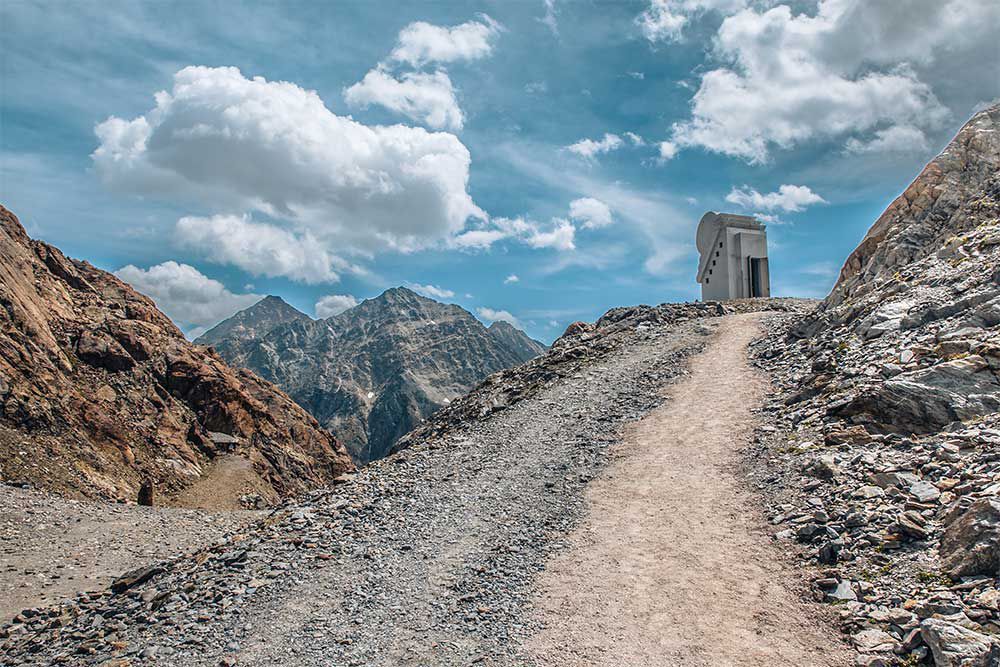
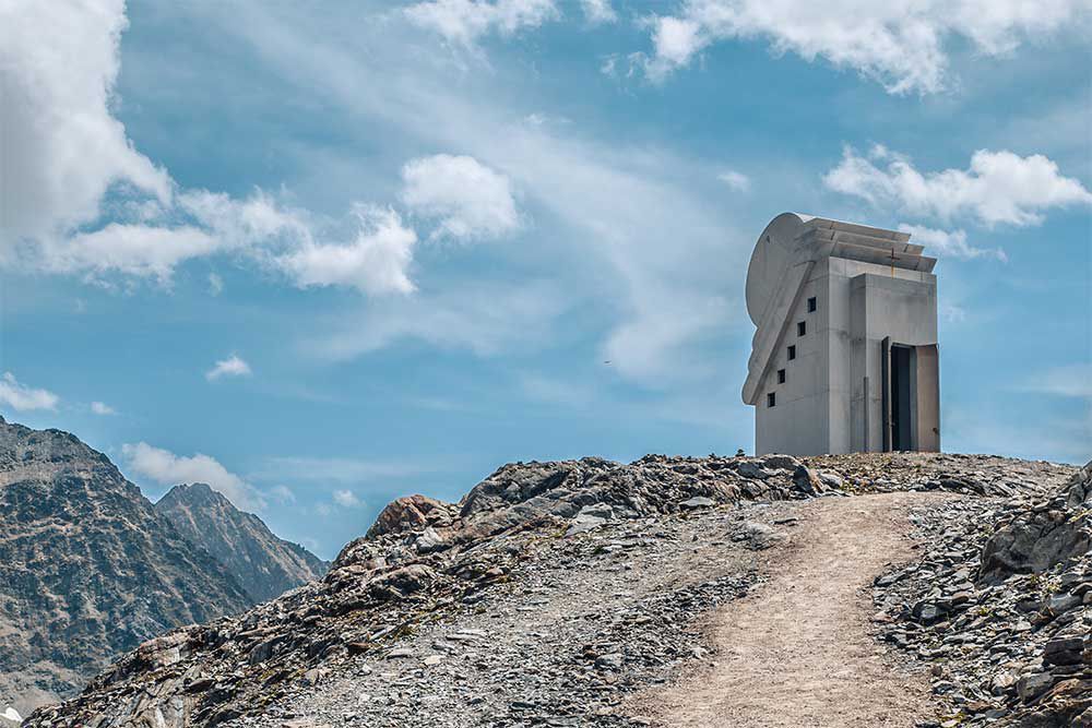
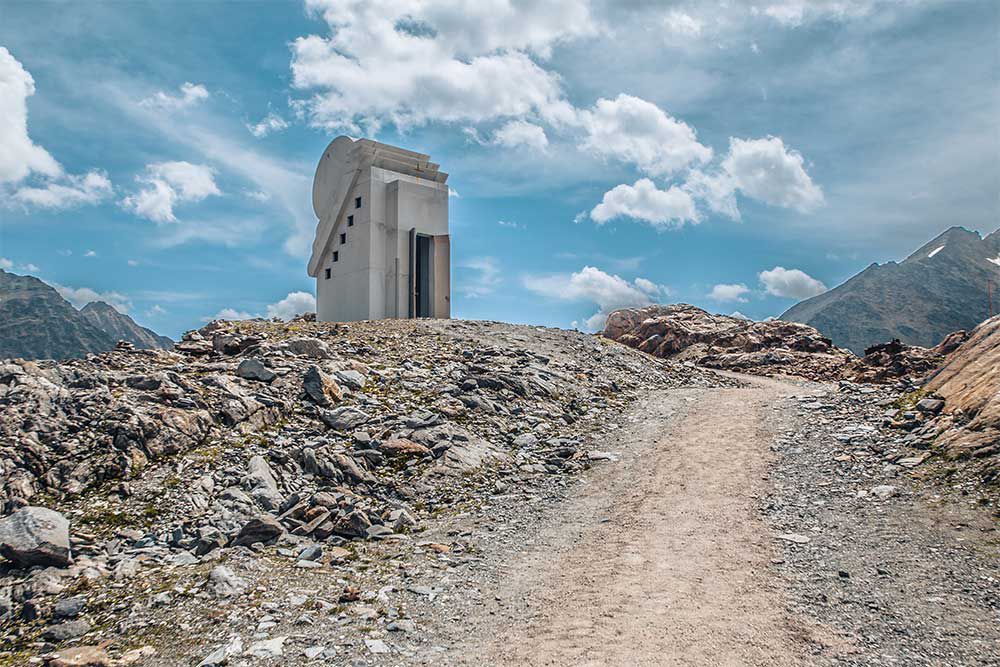
Bike&Hike-Gschnitz_JohannesBitter_TVB-Wipptal_300624_018.jpg © Johannes Bitter BlaserDifficulty:mediumLength:11.0 kmDuration:4:30 hElevation uphill:1,067 mSee trailSee trail: Blaser
Filzenkogel winter walk in MayrhofenDifficulty:mediumLength:3.6 kmDuration:1:30 hElevation uphill:250 mGo to winter hikeGo to winter hike: Filzenkogel winter walk in Mayrhofen
Wildlahner round tour via Ramsgrubnersee, Schoberspitzen (2,602m) and Steinernes Lamm (2,528m)Difficulty:mediumLength:13.0 kmDuration:8:00 hElevation uphill:1,380 mSee trailSee trail: Wildlahner round tour via Ramsgrubnersee, Schoberspitzen (2,602m) and Steinernes Lamm (2,528m)
Kaiserjochhaus © Lechtal Tourismus Kaisers - Kaiserjoch-HausDifficulty:mediumLength:6.6 kmElevation uphill:919 mSee trailSee trail: Kaisers - Kaiserjoch-Haus
Navis, Stöcklalm_Tirol Werbung_Bitter Johannes_Navis (2) © Tirol Werbung | Johannes Bitter StöcklalmDifficulty:mediumLength:14.0 kmDuration:3:40 hElevation uphill:828 mSee trailSee trail: Stöcklalm
Genuss Route Winter Hiking Trail Mieming PlateauDifficulty:mediumLength:11.8 kmDuration:3:30 hElevation uphill:170 mGo to winter hikeGo to winter hike: Genuss Route Winter Hiking Trail Mieming Plateau
winterwandern17-kartitsch-c-tvb-osttirol-bergimbild.jpg © BergimBild HollbruckertalwegOpening hours:openDifficulty:mediumLength:3.1 kmDuration:1:30 hElevation uphill:80 mGo to winter hikeGo to winter hike: Hollbruckertalweg
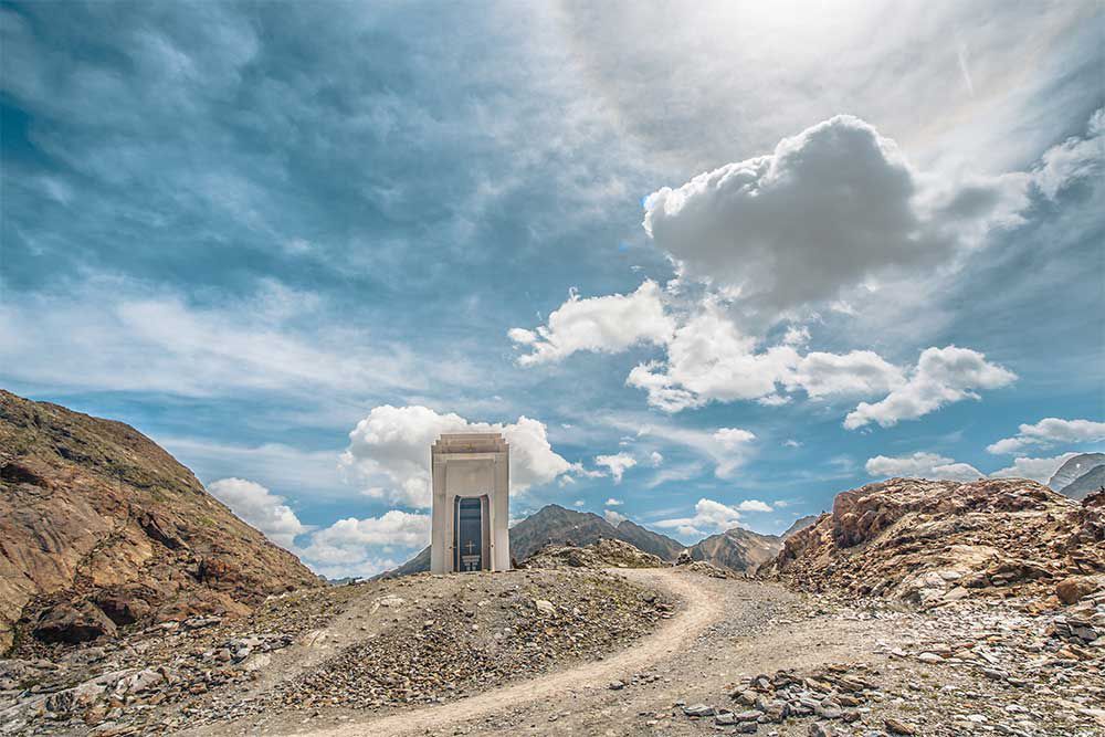
Jausenstation-St-Magdalena_JohannesBitter_TVB-Wipptal_130823_079.jpg © JOHANNES BITTER To the pilgrimage church of St. Magdalena (1,661 m)Difficulty:mediumLength:3.0 kmDuration:2:30 hElevation uphill:450 mSee trailSee trail: To the pilgrimage church of St. Magdalena (1,661 m)
Lake Obernberg circular routeDifficulty:easyLength:6.0 kmDuration:2:30 hElevation uphill:269 mSee trailSee trail: Lake Obernberg circular route
Württemberger Haus © Lechtal Tourismus Lechtaler Höhenweg: 5th stage Memminger Hütte-Württemberger HausDifficulty:difficultLength:6.9 kmDuration:4:15 hElevation uphill:589 mSee trailSee trail: Lechtaler Höhenweg: 5th stage Memminger Hütte-Württemberger Haus
Ridge hike to the LichtseeDifficulty:mediumLength:13.0 kmDuration:3:30 hElevation uphill:834 mSee trailSee trail: Ridge hike to the Lichtsee
Winter Walking on the Sunny Mieming PlateauDifficulty:easyLength:9.0 kmDuration:2:30 hElevation uphill:140 mGo to winter hikeGo to winter hike: Winter Walking on the Sunny Mieming Plateau
Memmingerhuette © Lechtal Tourismus Bach - Memminger HütteDifficulty:mediumLength:13.6 kmDuration:5:45 hElevation uphill:1,200 mSee trailSee trail: Bach - Memminger Hütte
Maria-Waldrast_Sommer_JohannesBitter_TVB-Wipptal_120823_067-Bearbeitet.jpg © JOHANNES BITTER Serles (2.717m)Difficulty:difficultLength:8.0 kmDuration:4:30 hElevation uphill:1,080 mSee trailSee trail: Serles (2.717m)
Give feedback for a chance to win a special holiday experience!Click here for the surveyClick here for the survey


")


 (1).jpg")

.jpg")


