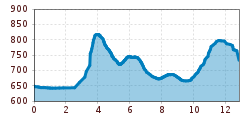
Walter Mair Trail Lienzer Talboden - Stage 3
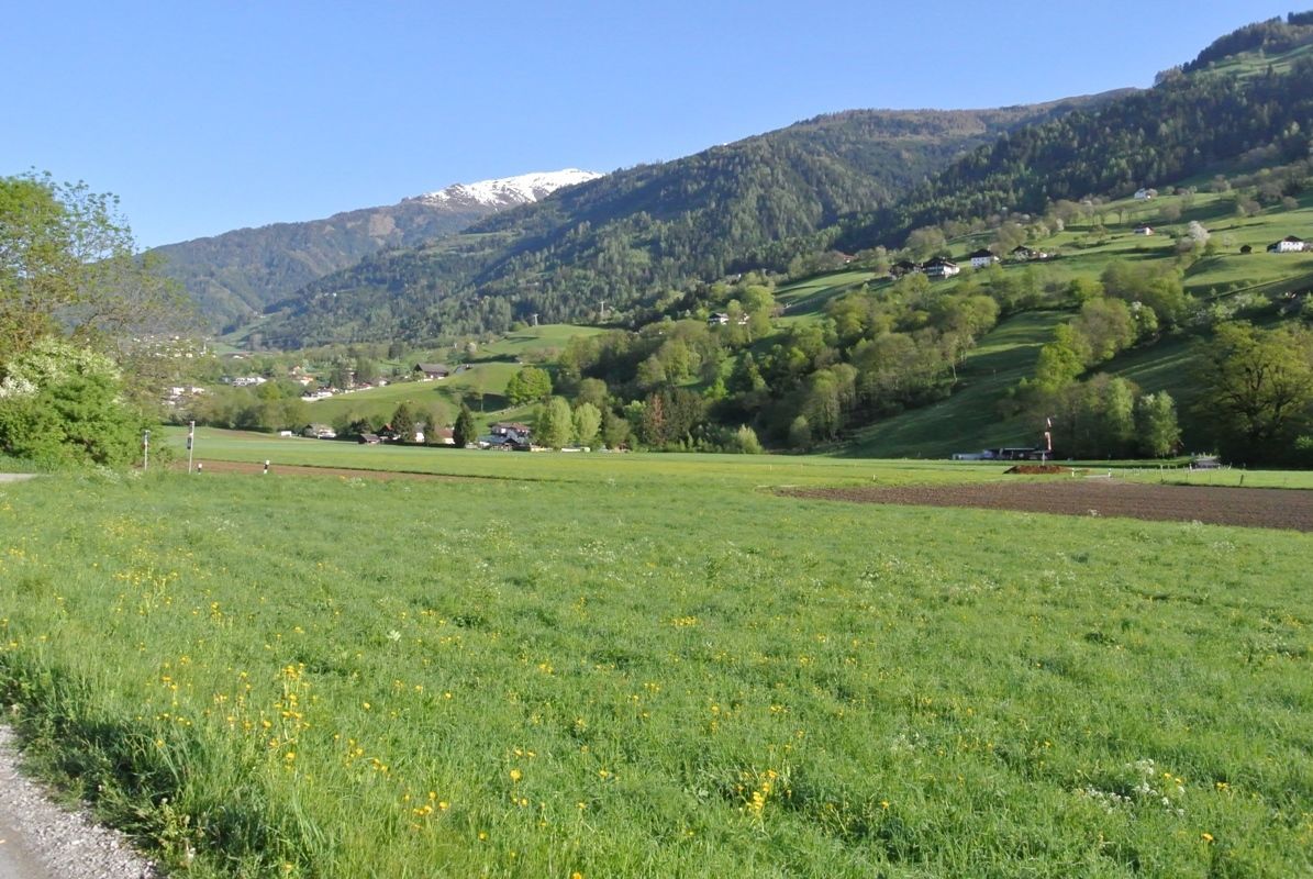
The trail from Chrysanthen near Nikolsdorf, to the Zettersfeldbahn (cable car) station, passes through the four municipal areas of Nikolsdorf, Dölsach, Nußdorf-Debant and Gaimberg. From always a low elevation, you have a view of the large Lienzer Talboden.


