
Mountain hikes Walter Mair Trail Lienzer Talboden - Stage 4

Gaimberg / Schober Group
Difficulty ratings: easy
Route length: 8.0 km
Duration: 2:20 h

Walter Mair Trail Lienzer Talboden - Stage 4
Tour information

  • Requirement: easy
  • Length: 8.0 km
  • Duration: 2:20 h
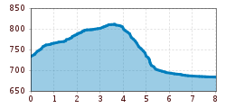
  • Elevation uphill:85 hm
  • Elevation downhill:131 hm
Highest point818 m

Starting point

Talstation Hochsteinbahn

Finishing point

Talstation Hochsteinbahn
  • Fitness level 3 / 6
  • Technique 2 / 6

Features

  • Circular route

Best time of year

  • January
  • February
  • March
  • April
  • May
  • June
  • July
  • August
  • September
  • October
  • November
  • December

Trail condition

Asphalt, Forstweg, Waldweg, Steig, Schotter
Source: TVB Osttirol

Description

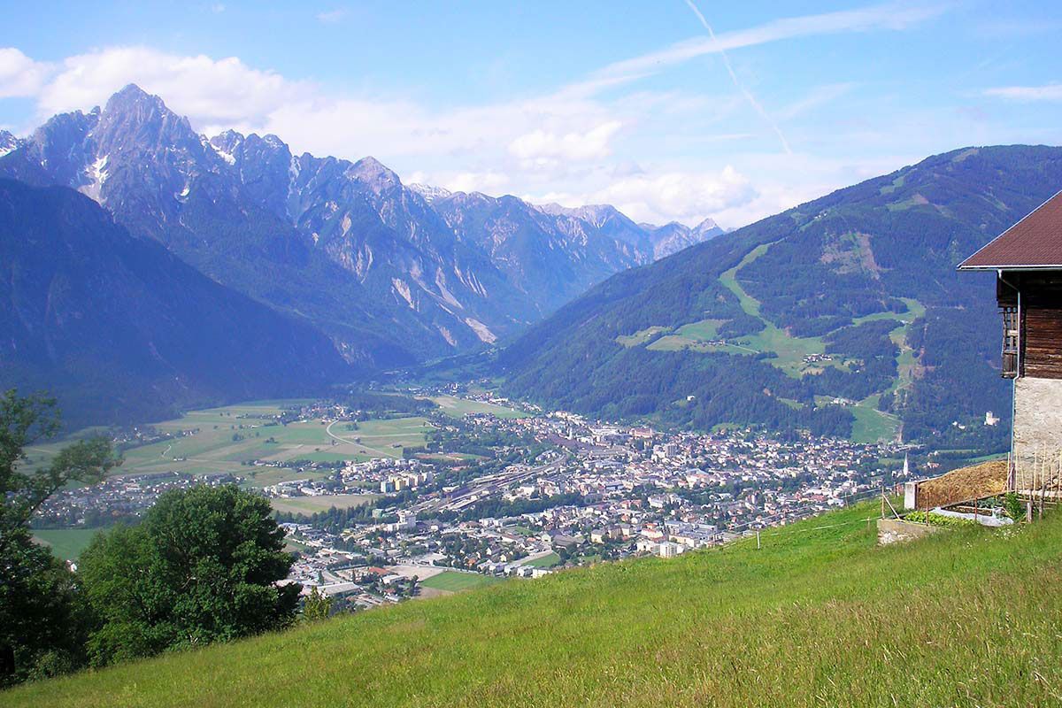
Oberlienz and Oberdrumm spread out on the sunny Schleinitz Schuttkegel. The village settlement stretches along the Schleinitzriver stream. An open-air museum with 13 themed stations along the village road introduces visitors to historical objects. The varied hike ends at the river Isel, where you can take the Katzensteig trail to Castle Bruck.

Weather

Today

mainly clear
27°C/13°C
25%0.4l5 km/h

Tue

partly Cloudy
29°C/14°C
10%0l5 km/h

Wed

light rain showers
31°C/15°C
60%5.6l5 km/h

More tours in the surrounding area

Newsletter

The mountain is calling? So does our newsletter!

In our monthly newsletter we reveal the best holiday tips for Tyrol.
