
Mountain hikes Walter Mair Trail Lienzer Talboden - Stage 2

Lavant / Kreuzeck Gruppe
Difficulty ratings: easy
Route length: 12.6 km
Duration: 4:00 h

Walter Mair Trail Lienzer Talboden - Stage 2
Tour information

  • Requirement: easy
  • Length: 12.6 km
  • Duration: 4:00 h
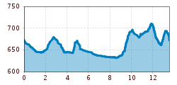
  • Elevation uphill:272 hm
  • Elevation downhill:273 hm
Highest point721 m

Starting point

Talstation Hochsteinbahn

Finishing point

Talstation Hochsteinbahn
  • Fitness level 3 / 6
  • Technique 2 / 6

Features

  • Circular route

Best time of year

  • January
  • February
  • March
  • April
  • May
  • June
  • July
  • August
  • September
  • October
  • November
  • December

Trail condition

Asphalt, Forstweg, Waldweg, Steig, Schotter
Source: TVB Osttirol

Description

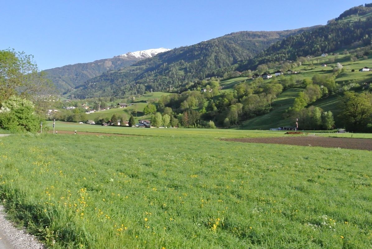
The Lavant forest nature trail and the two-stage Frauenbach waterfall are must-sees. Accompanying the river Drau, which changes from grey to green, and the moor-dark Auenlaue, you are in the quietest corner of the Lienz Talboden. Nikolsdorf with Nörsach, or Chrysanthen, is the easternmost municipality in Tirol.

Weather

Today

mainly clear
32°C/14°C
50%1.3l5 km/h

Tue

light rain showers
28°C/17°C
65%8.9l5 km/h

Wed

light rain showers
30°C/16°C
65%9.6l5 km/h
Go to weather forecast

More tours in the surrounding area

Newsletter

The mountain is calling? So does our newsletter!

In our monthly newsletter we reveal the best holiday tips for Tyrol.
