Description
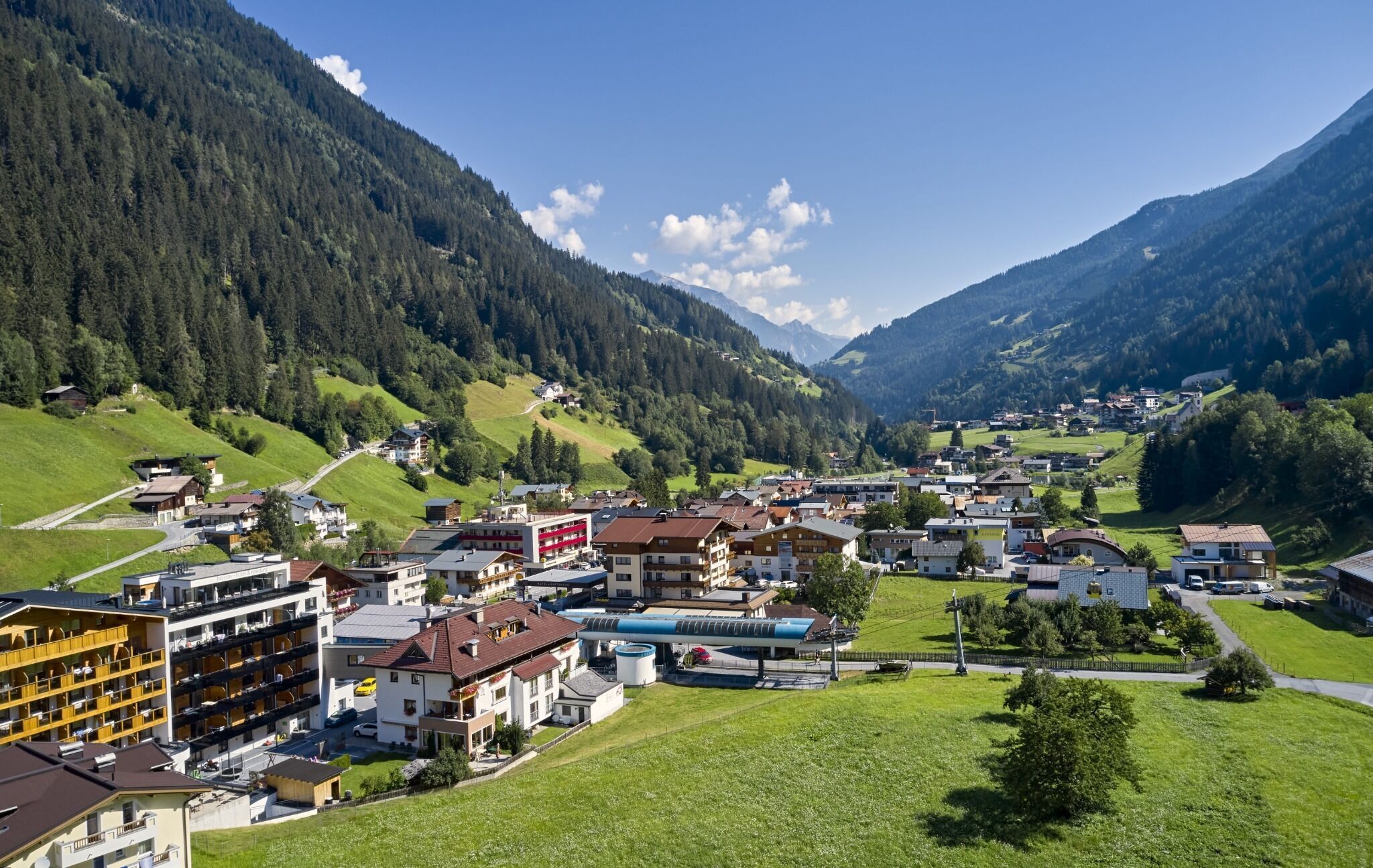
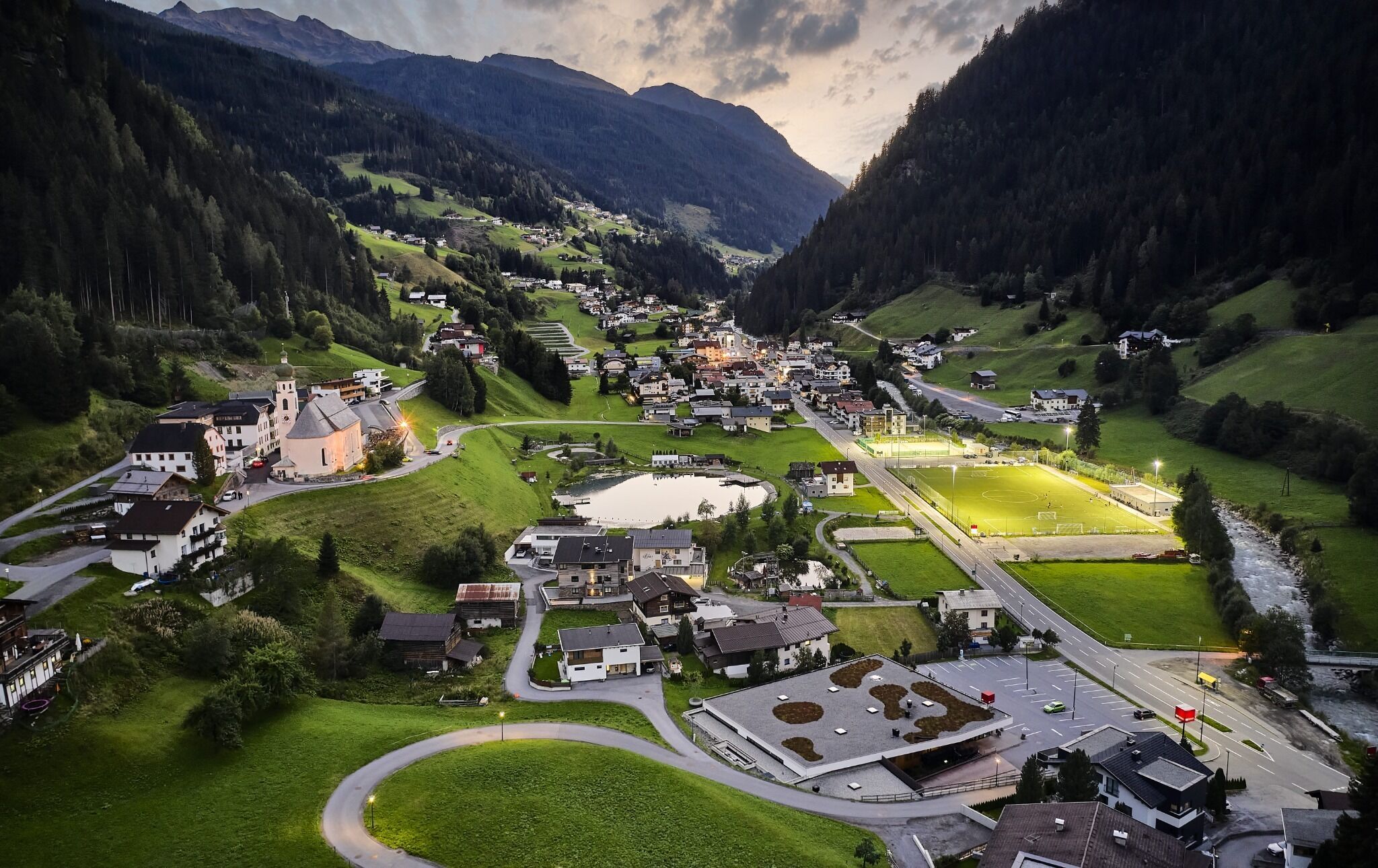
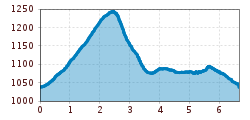
The starting point of the hike is the cable car in See. From there, you first walk along the pavement into the valley. Past the Hotel Mallaun, the route branches off to the left towards the hamlet Klaus. The road leads steadily uphill through the hamlets Meierhof, Neder and Gande. The road ends here and the trail continues along a beautiful forest and meadow path to the hamlet Habigen, where you cross the Flathbach stream – an ideal place to pause and enjoy the natural tranquillity of the surroundings and the sound of the stream. The descent continues downhill to the main road in the direction of Kappl until you reach the Staudenmühl bridge. After crossing the bridge, the tour leads back to See along the signposted valley hiking trail.


.jpg")
.jpg")


.jpg")


.jpg")
.jpg")


