Mountain hikes Zams - Zammer Alm / Schihütte Zams via Forstweg

Zams / Ötztal Alps
Difficulty ratings: medium
Route length: 10.3 km
Duration: 8:00 h

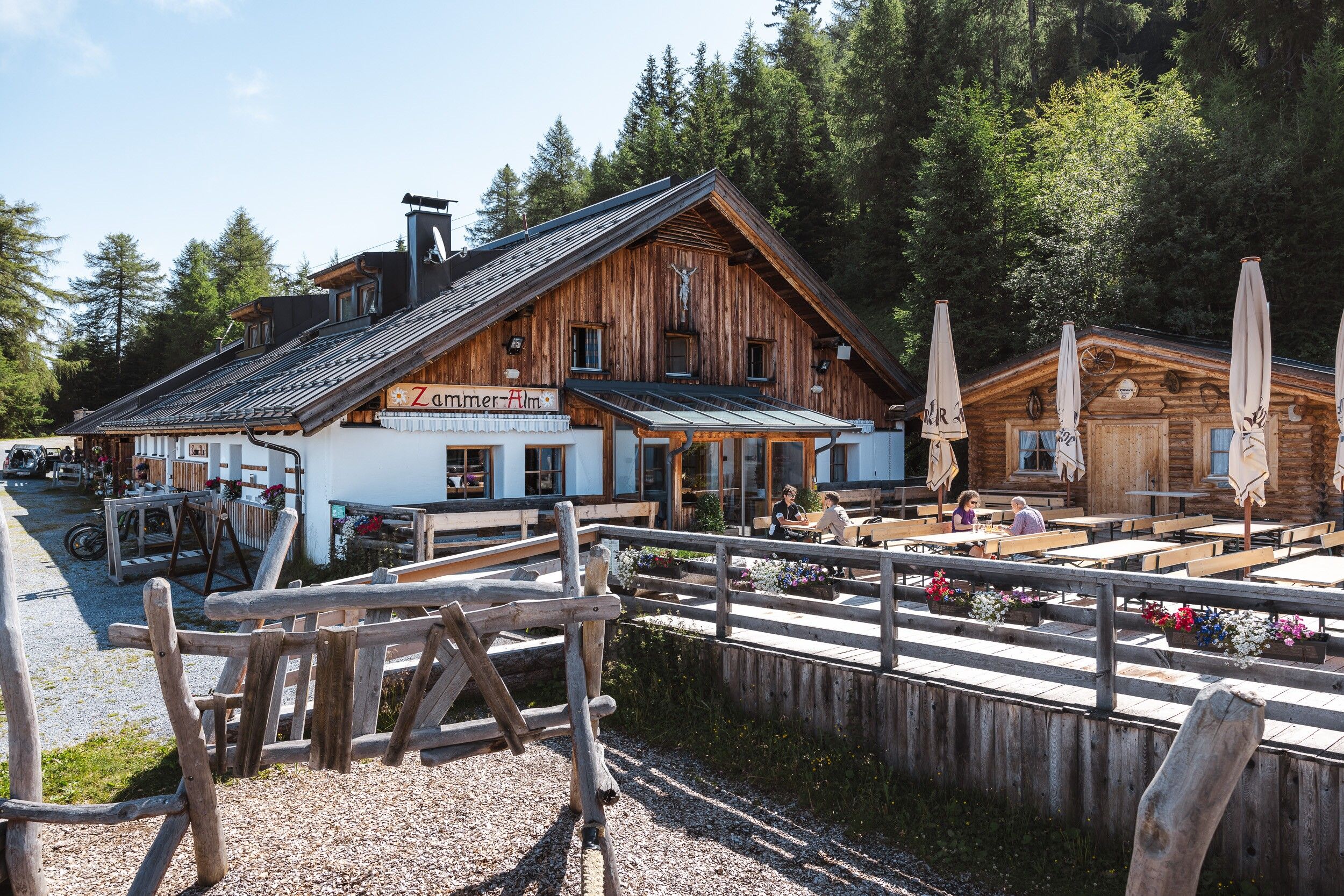
From Zams, follow the Way of St James to the hamlet of Anreit. There you branch off onto the forest road up to the Zammer Alm / Schihütte Zams.
Tour information

  • Requirement: medium
  • Length: 10.3 km
  • Duration: 8:00 h
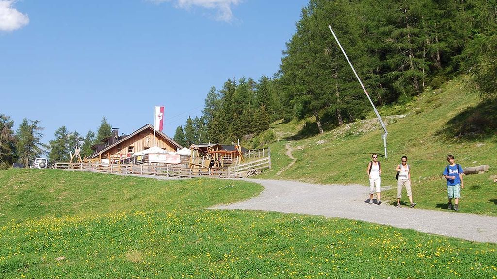
  • Elevation uphill:992 hm
  • Elevation downhill:992 hm
Highest point1,767 m

Starting point

Venetbahn Valley Station

Finishing point

Zammer Alm
  • Fitness level 4 / 6
  • Technique 3 / 6

Best time of year

  • January
  • February
  • March
  • April
  • May
  • June
  • July
  • August
  • September
  • October
  • November
  • December

Trail condition

Forstweg
Source: TVB TirolWest

Description

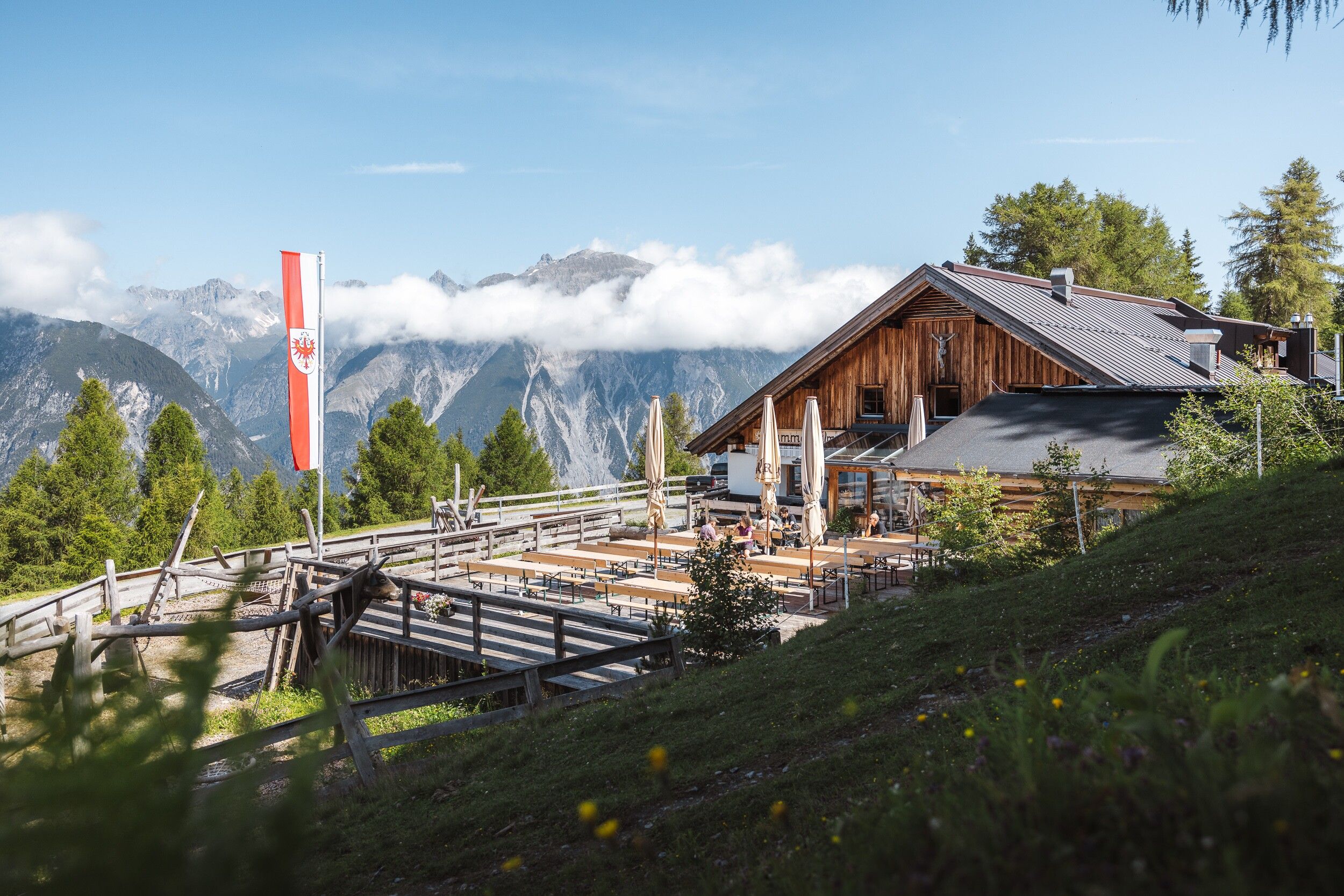
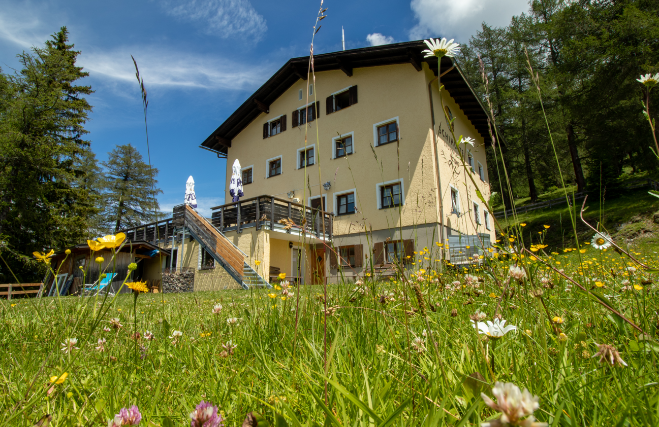
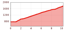
From the town centre, follow Bahnstraße to Alter Zammerberger Weg. There, follow the signs to paths 2 and 2a. Shortly after the last house in Anreit, the forest path branches off to the right. This path leads steadily uphill in several hairpin bends. You reach ‘Ebenmoos’, a beautiful spot with pretty weekend cottages, a small chapel and a marvellous view of the valley. From there, continue along the forest path to the Zammer Alm and the Zams ski hut.

Getting here

  • Arrival by public transport

    From the Landeck-Zams train station, take Line 1 to the Venetbahn stop. Check the SCHEDULE. 

Weather

Wed

clear sky
31°C/15°C
20%0.9l5 km/h

Today

clear sky
33°C/16°C
5%0.4l5 km/h

Fri

clear sky
34°C/16°C
0%0.2l5 km/h
Go to weather forecast

More tours in the surrounding area

Newsletter

The mountain is calling? So does our newsletter!

In our monthly newsletter we reveal the best holiday tips for Tyrol.