

Place:Angath
:Restaurant, Tavern
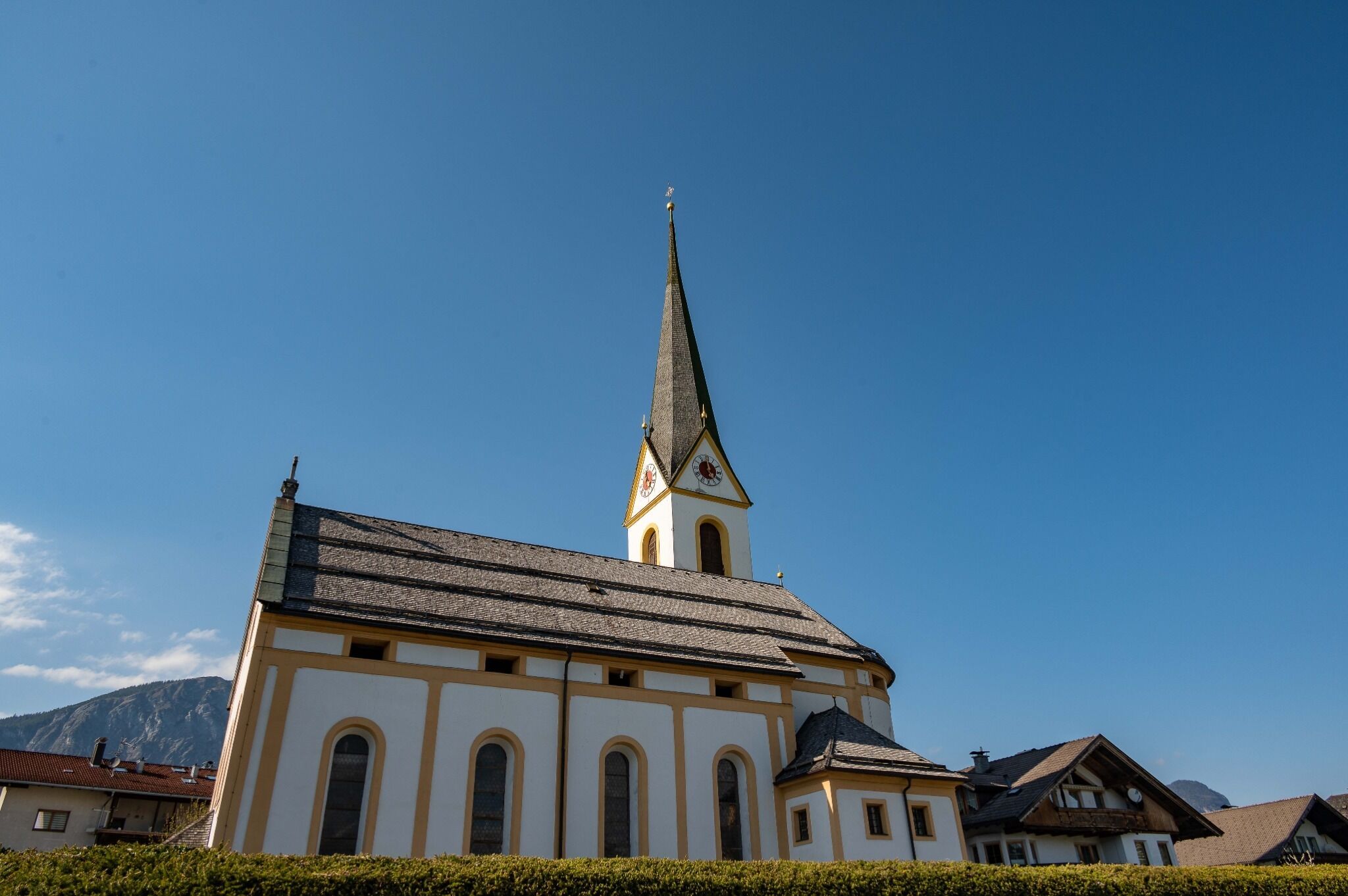
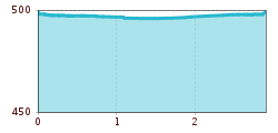
The start of this run is at the village square in Angath right next to the church. From there you cross the Angerberger Straße. Follow the signs for the 'Innrunde'. Follow trail no. 8 along the Innstraße out of the settlement area. At the end of the Innstraße, the loop leads back to the starting point in a large loop on the left.
bus: Angath church/Innbrücke
train: Wörgl main station
Guest card = travel ticket - bus & train included!
Online timetables:
www.vvt.at
www.oebb.at
Coming from Innsbruck/Munich: A12 exit Wörgl Ost - take the B171 Wörgl/Wildschönau feeder road - after approx. 500m take the 3rd exit at the roundabout - continue for approx. 2km to Angath.
Coming from Kitzbühel: B170 through Brixental - after passing through Hopfgarten continue approx. 4km to roundabout, take 3rd exit - continue on feeder road B178 exit towards Wörgl - drive through Loferer Straße until exit on feeder road B171 towards Wörgl - after 500m at roundabout take 3rd exit - approx. 2km to Angath


