Ski route Hoch Tirol

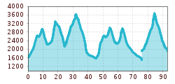
Route length: 92.0 km

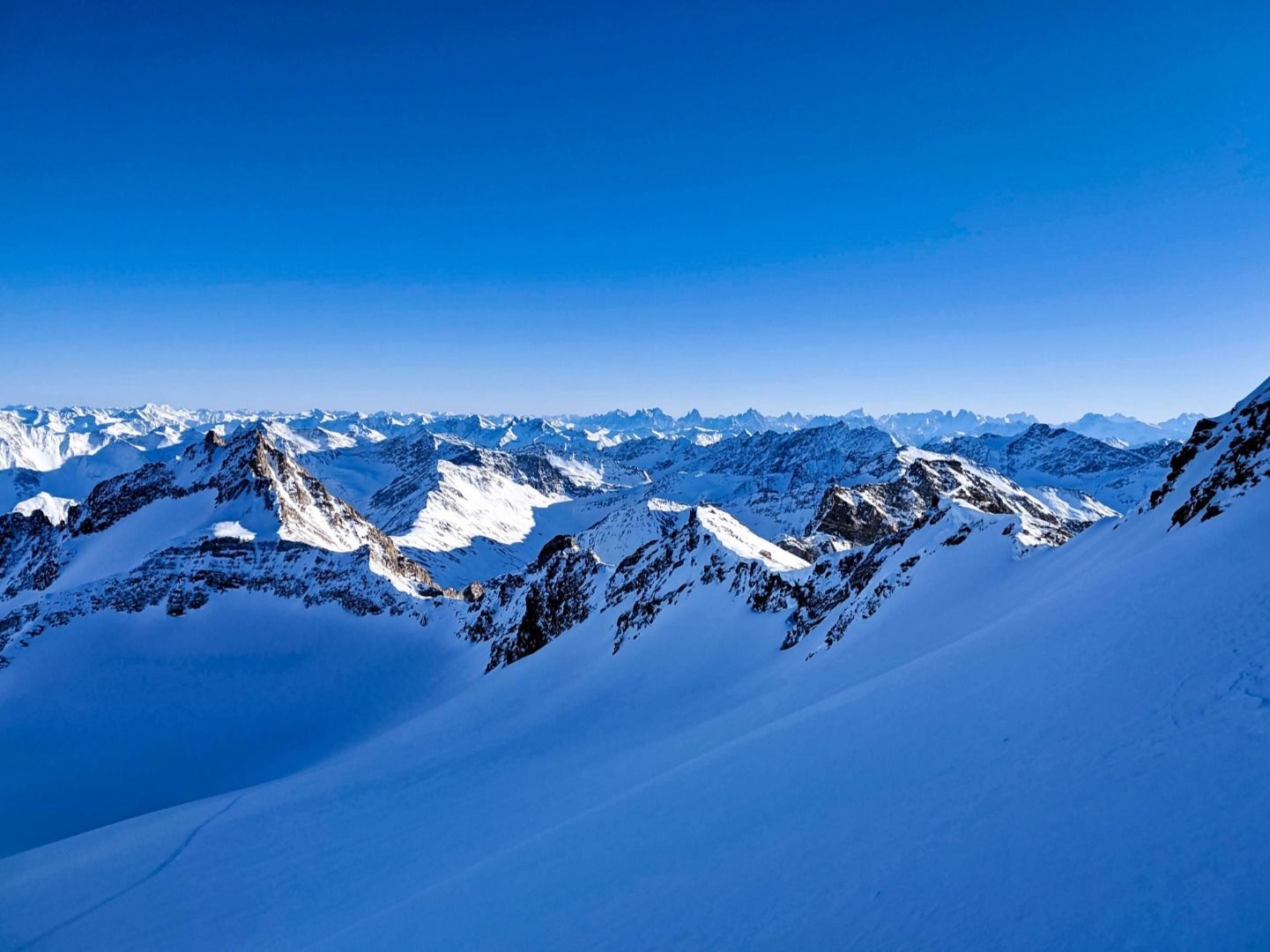
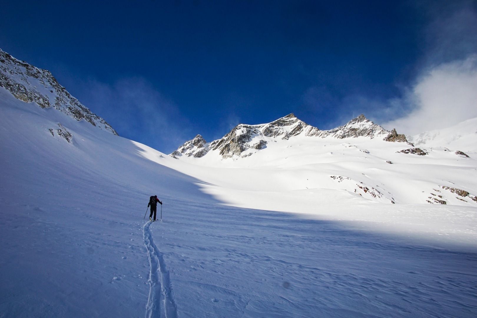
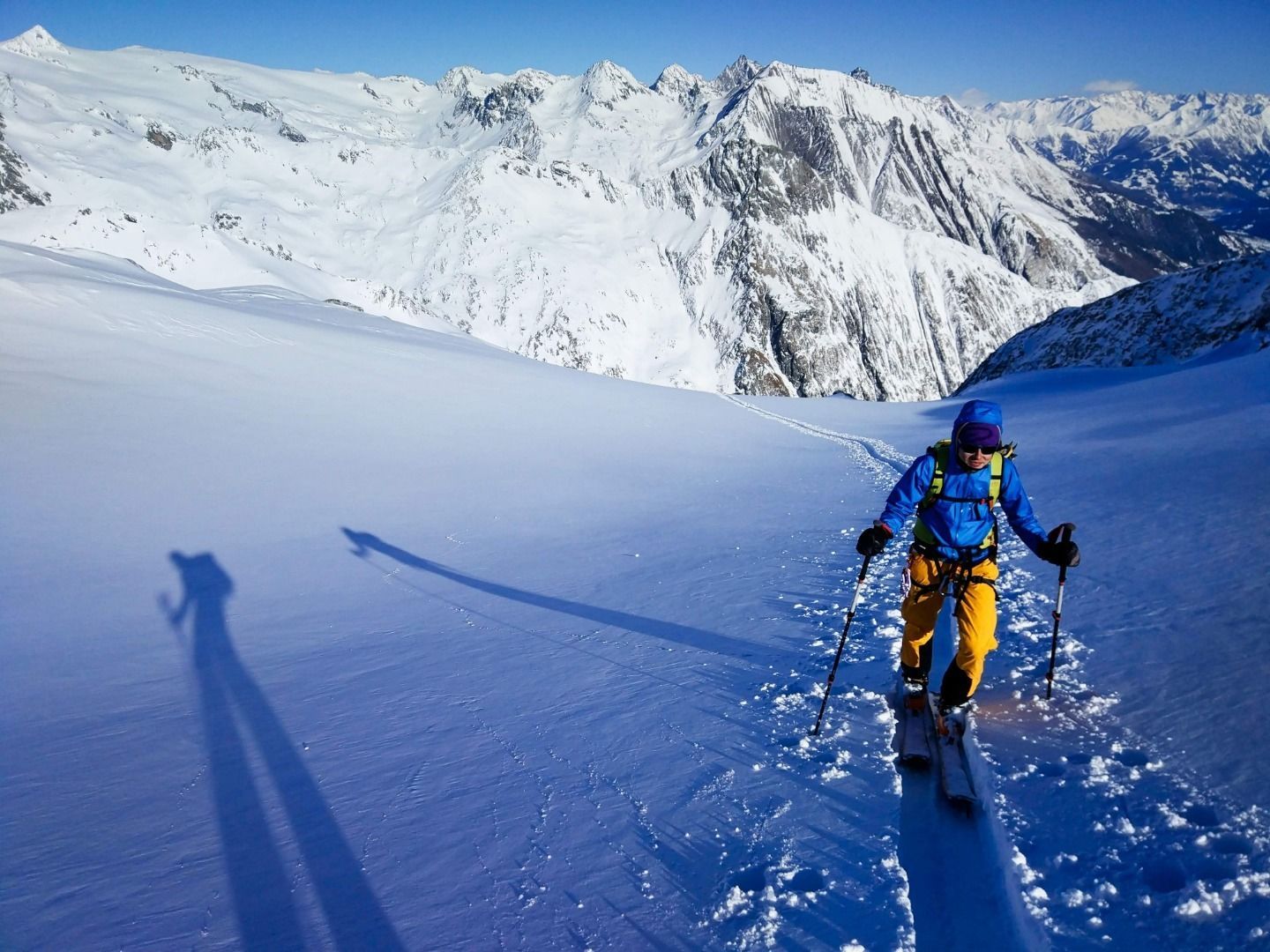
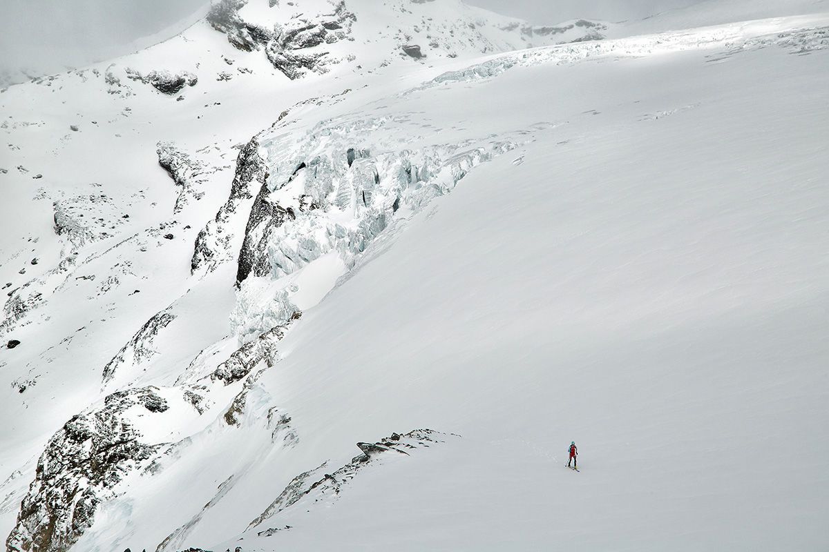
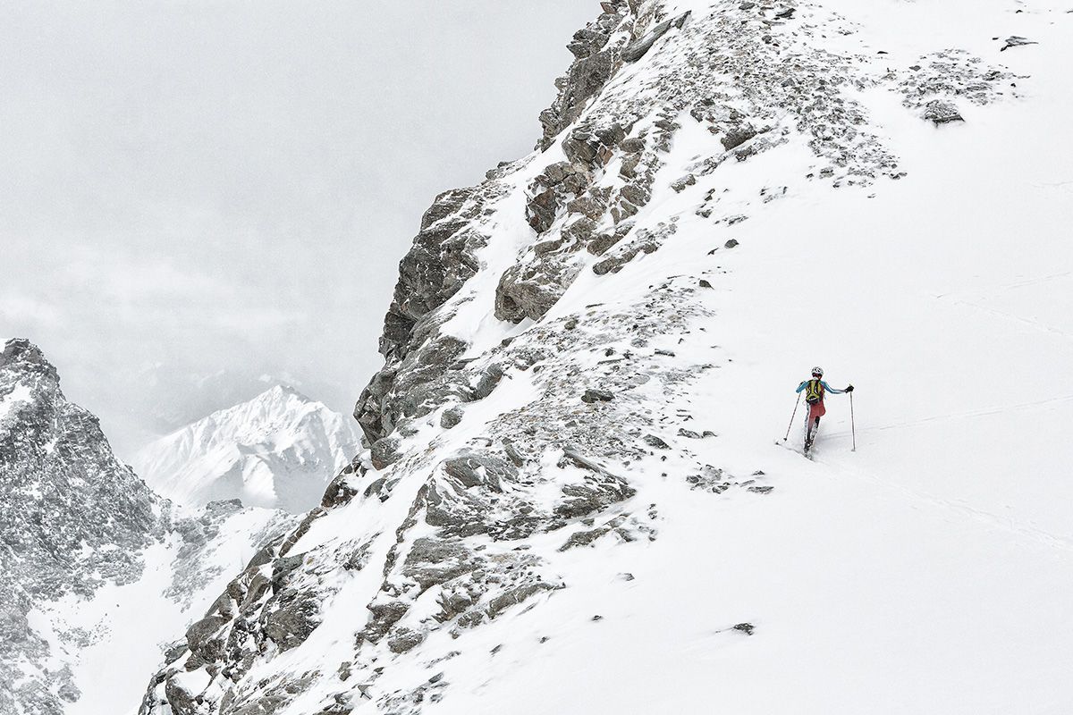
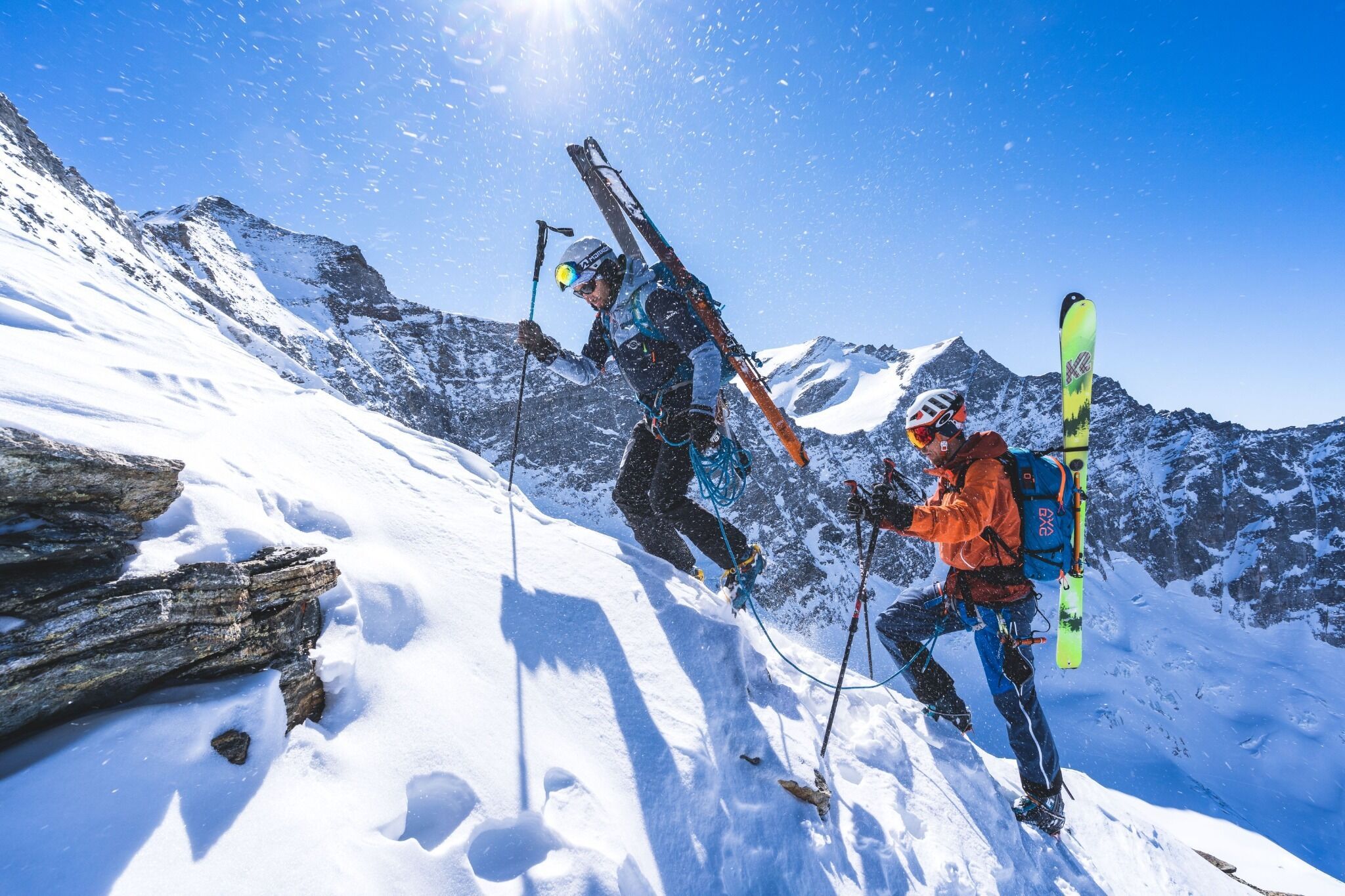
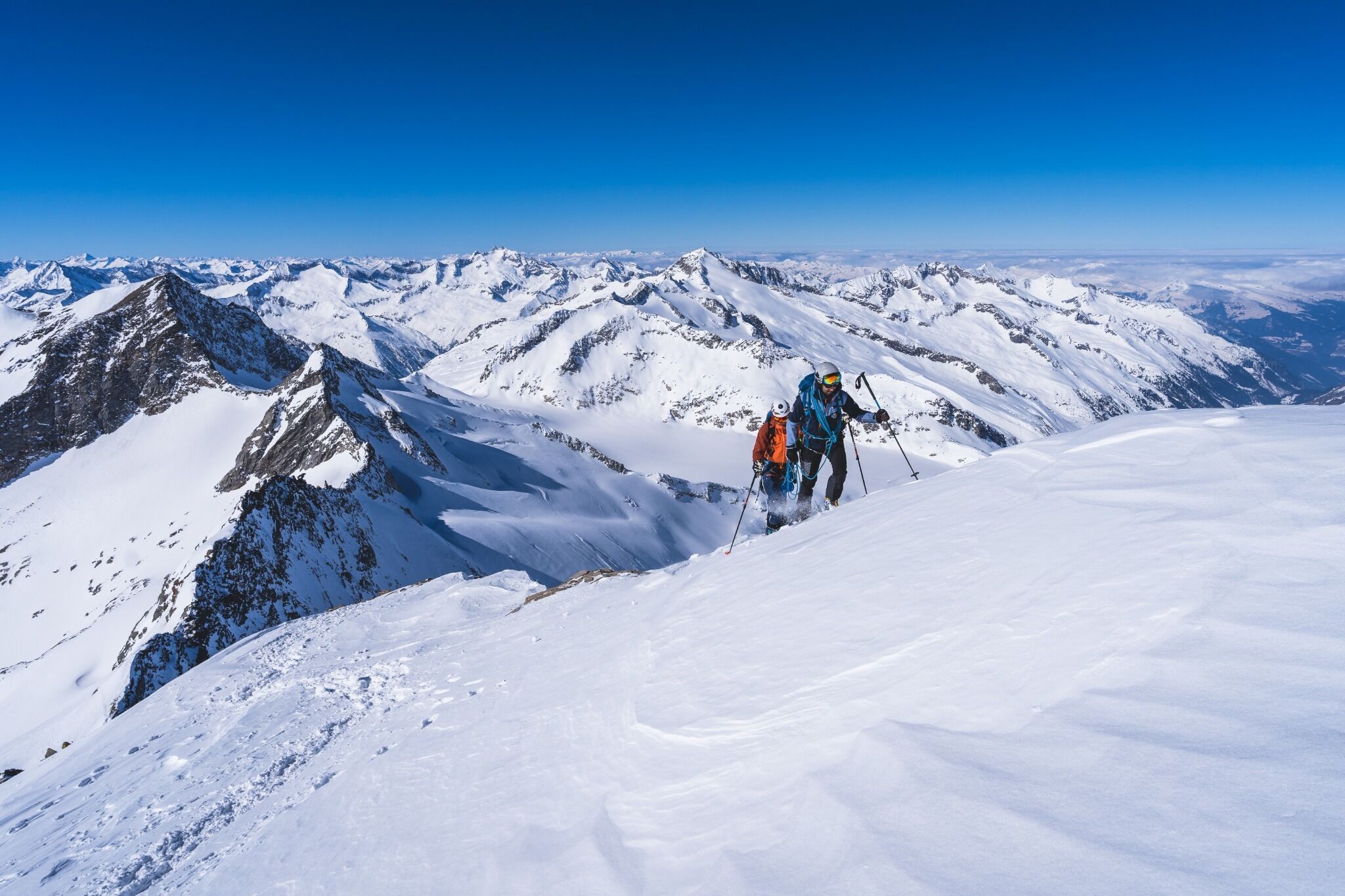
The Hoch Tirol ski route is arguably the most impressive and most breath-taking high mountain crossing in the East Alps. More than 18,000 metres altitude and 140 kilometres are covered over six days.
Tour information

  • Length: 92.0 km
  • Elevation uphill:9,230 hm
  • Elevation downhill:8,910 hm
Highest point3,798 m

Starting point

Kasern / Südtirol

Finishing point

Kals a. G.
  • Fitness level 6 / 6
  • Technique 6 / 6

Best time of year

  • January
  • February
  • March
  • April
  • May
  • June
  • July
  • August
  • September
  • October
  • November
  • December
Source: TVB Osttirol

Description

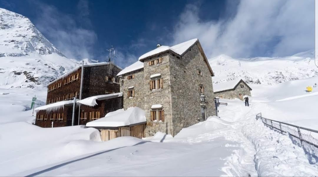
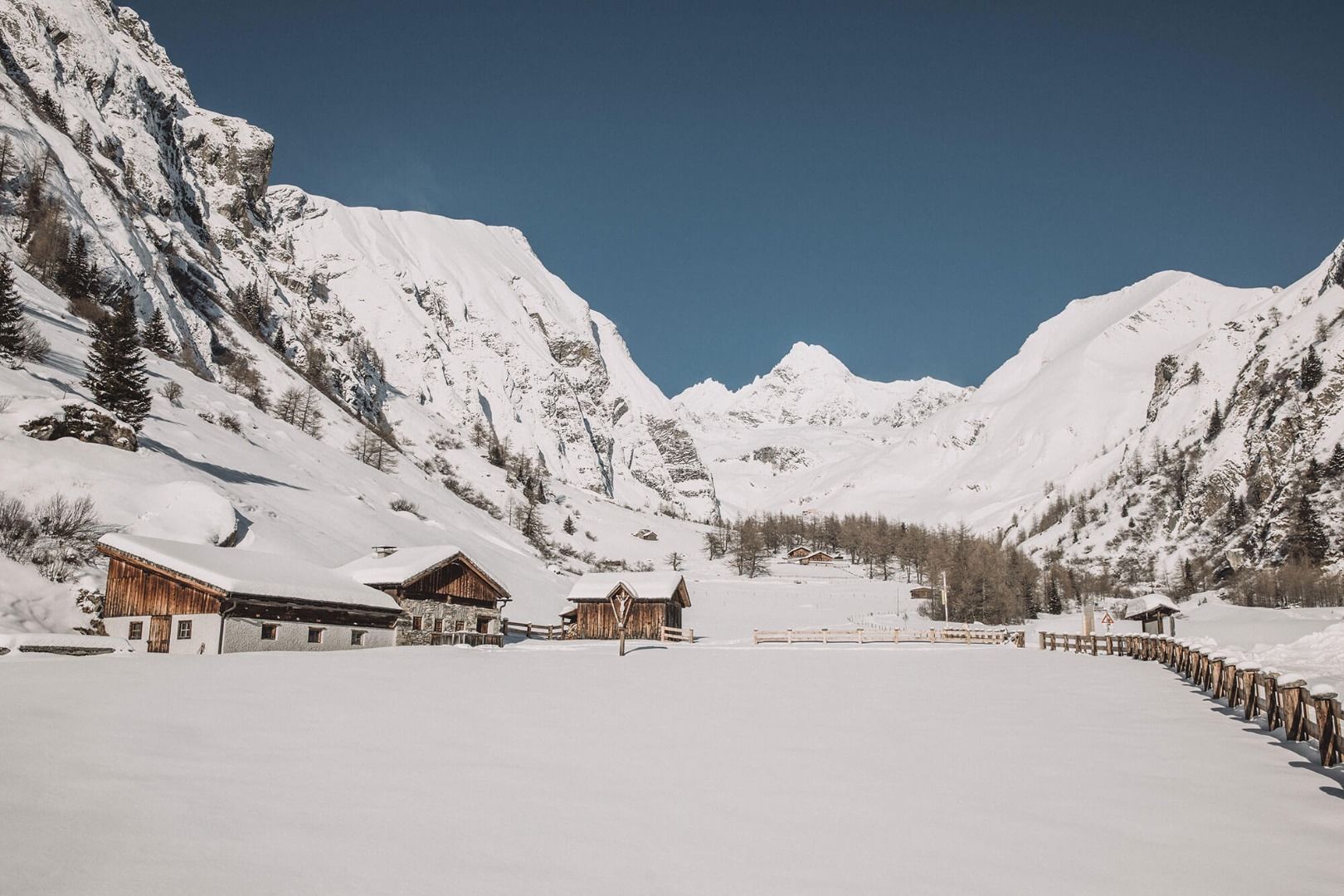
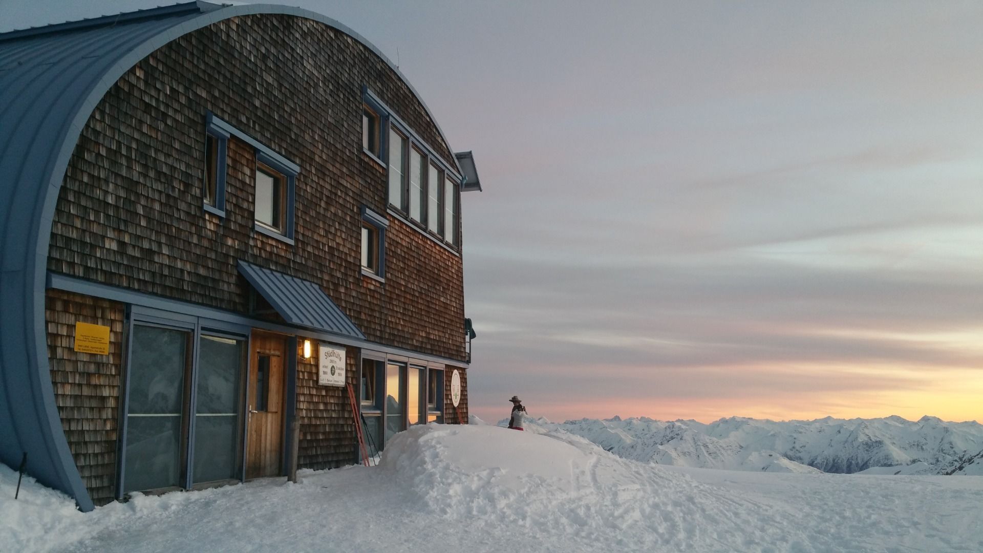
A classic ski tour takes you up the mountain and, once you’ve reached the summit, back down into the valley. But the Hoch Tirol Ski Route is no classic ski tour. On the Hoch Tirol Ski Route, the accommodation is right on the mountain, and you spend the night in mountain huts at altitudes of over 2,000 metres – once even at 2,801 metres (the Südlhütte on stage 5). This challenging ski route starts in Kasern in South Tyrol and leads over the peaks of the Venediger Mountains to Austria’s highest mountain, the Großglockner (3,798 m). An overwhelming sense of achievement is guaranteed upon arrival at the final stage destination, Kals am Großglockner! The athletic achievement, the proximity to the forces of nature surrounding the glaciers and the many summit conquests will remain etched in your memory.

More tours in the surrounding area

  • Breiteggspitze

    Difficulty:easy
    Length:3.4 kmDuration:2:00 hElevation uphill:700 m
  • Seefelder Joch

    Difficulty:medium
    Length:5.8 kmDuration:2:30 hElevation uphill:866 m
  • Mutterer Alm

    Difficulty:medium
    Length:3.1 kmDuration:2:00 hElevation uphill:581 m
  • Bichalm

    Difficulty:easy
    Length:2.4 kmDuration:1:30 hElevation uphill:450 m
  • Hoadl-Haus

    Difficulty:easy
    Length:7.6 kmDuration:2:25 hElevation uphill:778 m
  • Patscherkofel Schutzhaus

    Difficulty:medium
    Length:13.3 kmDuration:2:30 hElevation uphill:1,000 m
  • Eichenhof

    Difficulty:medium
    Length:4.7 kmDuration:2:50 hElevation uphill:898 m
Newsletter

The mountain is calling? So does our newsletter!

In our monthly newsletter we reveal the best holiday tips for Tyrol.