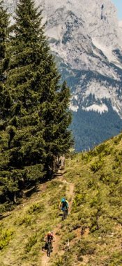
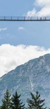
Steep trails through alpine terrain, but also family-friendly routes for all ages – when it comes to walking and hiking, the region around Innsbruck offers something for everyone. The Nordkette Mountains in the Karwendel Massif, the Stubai Alps and the Tux Alps provide a spectacular backdrop.
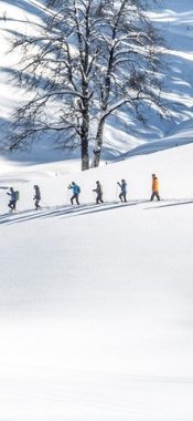
There are many places around Innsbruck from which to admire the region capital of Tirol from above. For example, the 2,246-metre-high Patscherkofel mountain south of the city can be reached quickly and easily using the cable car. The top station of the cable car is also the starting point for stage 13 of the Eagle Walk. This stage takes hikers through the Tux Alps and a centuries-old pinewood forest to the Tulfeinalm. On the opposite side of the valley, to the north of Innsbruck, the craggy peaks of the Nordkette Mountains offer a breathtaking panorama. These too can be accessed without having to break a sweat thanks to the Nordkettenbahn funicular and cable car taking passengers from the city centre all the way up to the Hafelekar ridge, where fabulous views of the Lower Inn Valley await. It is also a good starting point for exploring the Karwendel Nature Park. A little further away, south-west of Innsbruck, the Sellraintal Valley winds its way through the Stubai Alps. This area is particularly popular among families with children. Highlights include the buggy-friendly walk up to the Gleirschalm hut and the easy walk to the Juifenalm hut near Gries im Sellrain.