
Opening hours:Open today
Place:
Going am Wilden Kaiser
:
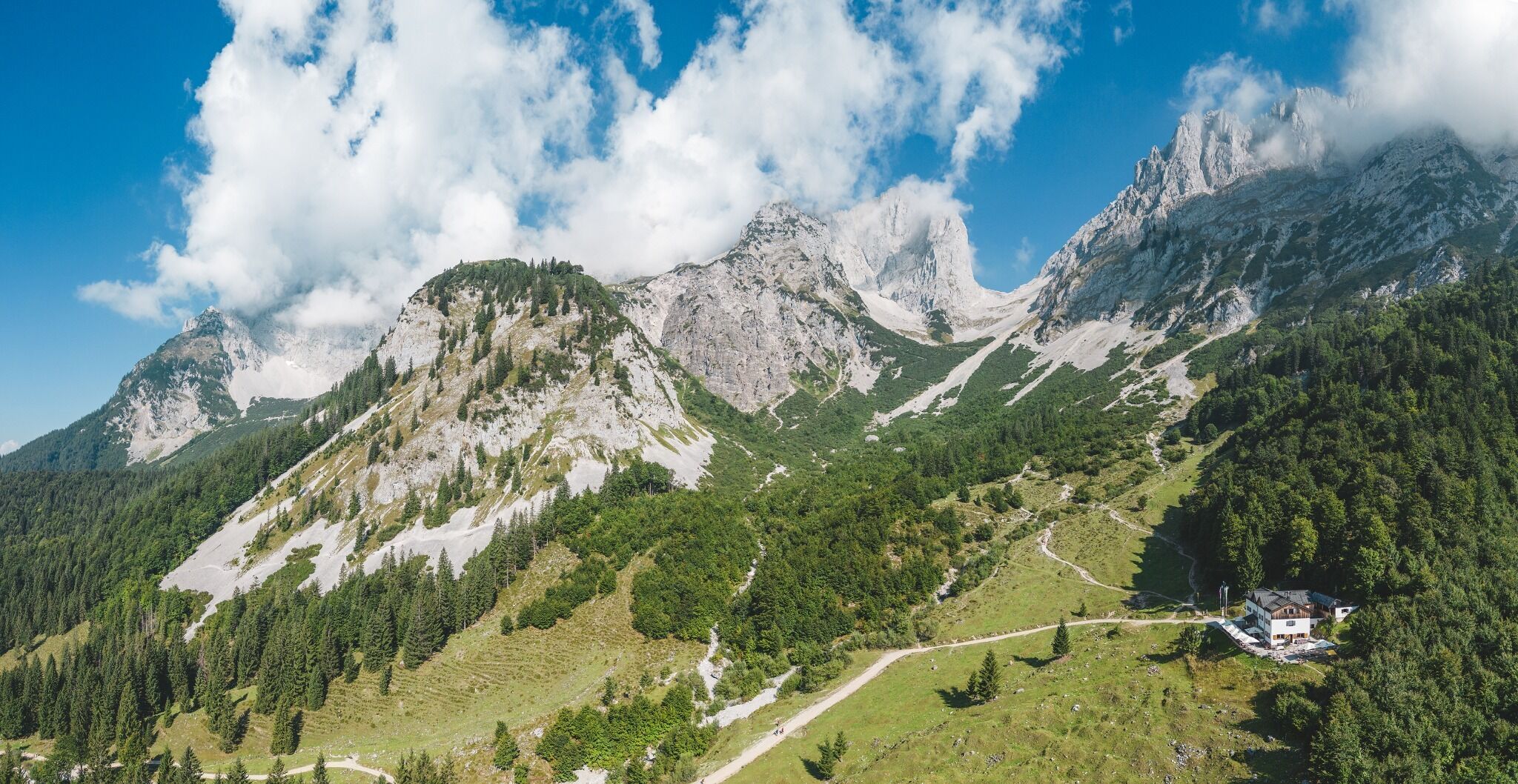
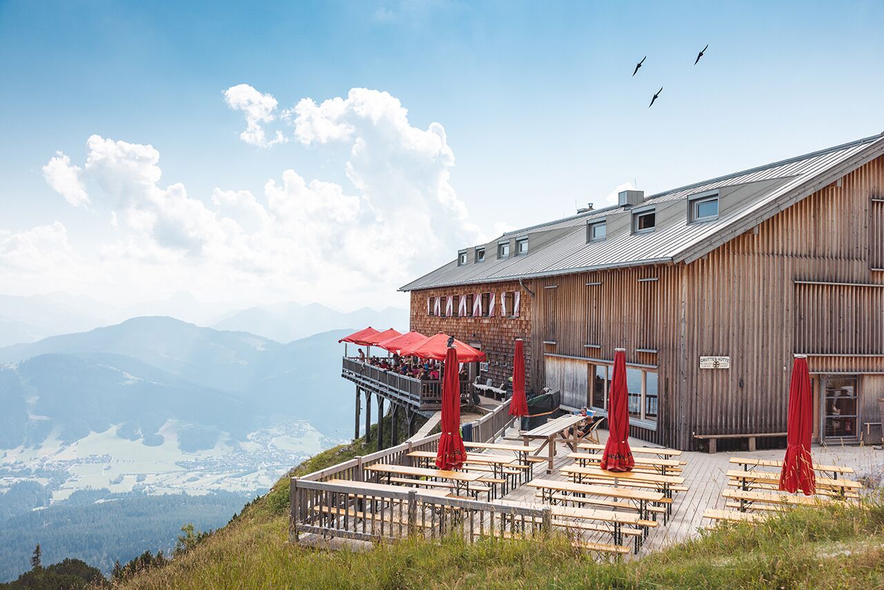
Alpine pasture / hut / mountain restaurant
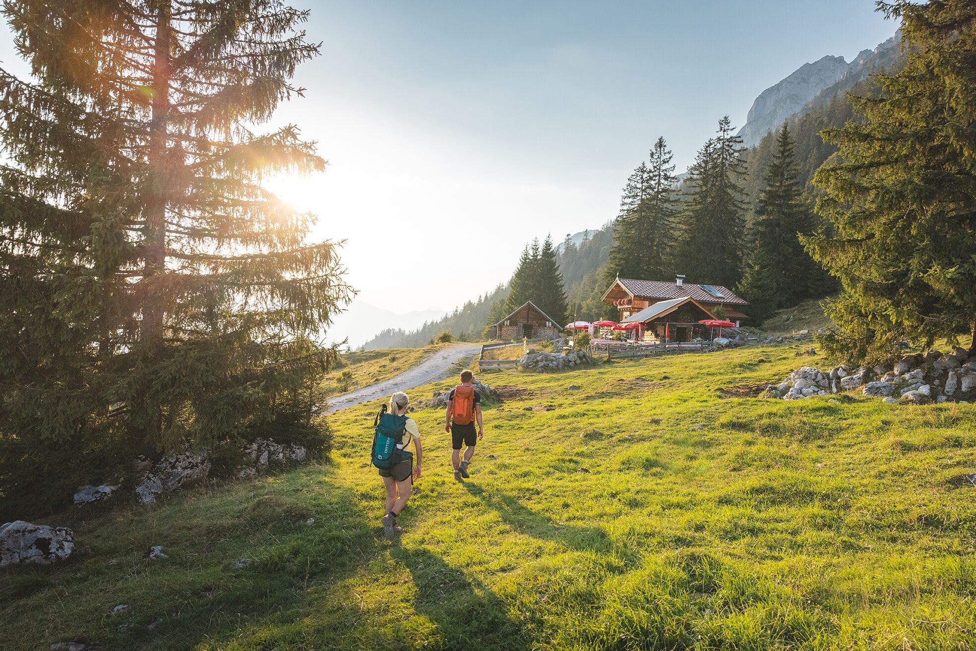
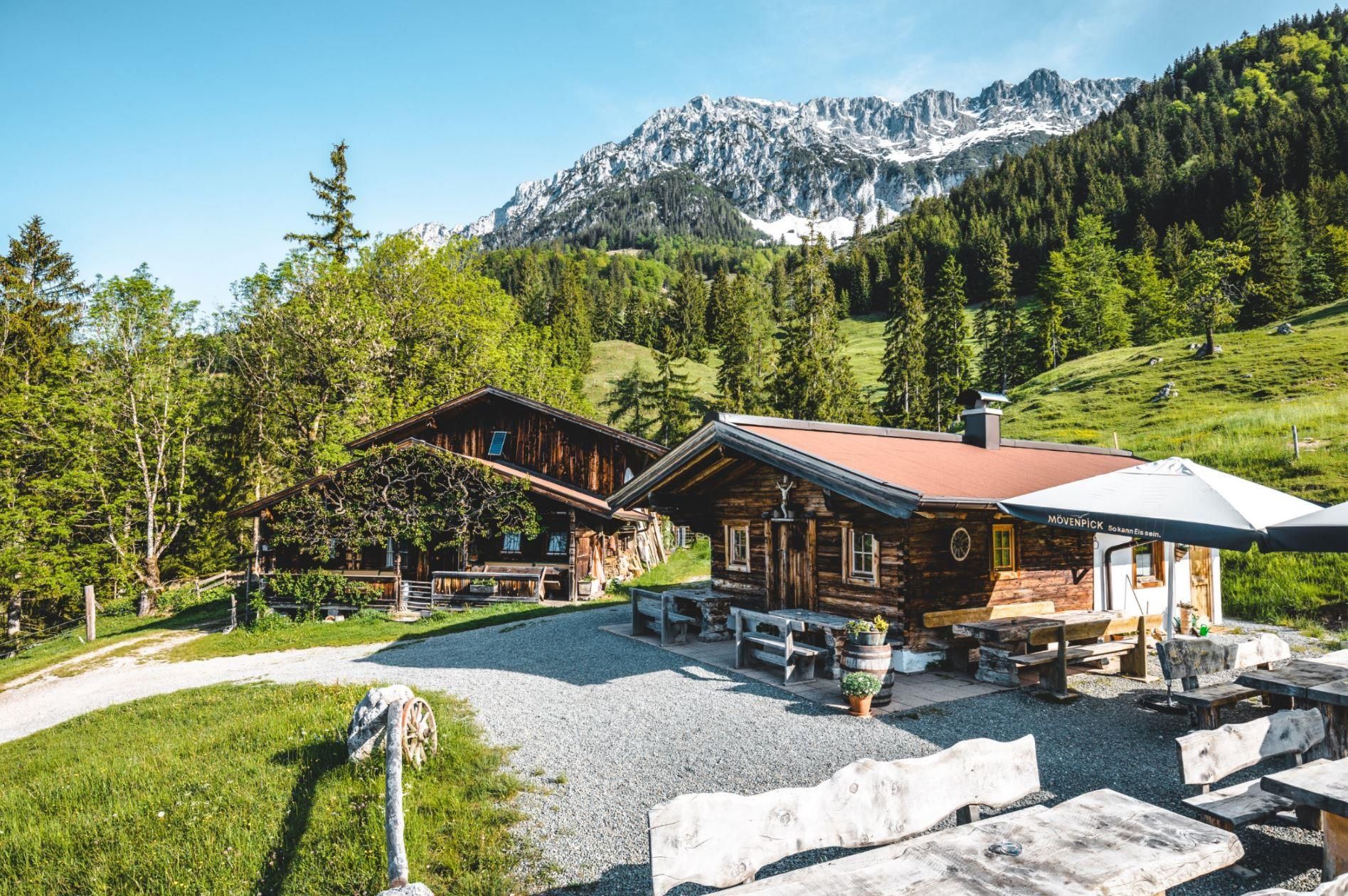
His Excellency, the Wilder Kaiser, calls you to his bizarre rock castle! If you follow him, a challenging but unforgettable adventure awaits you - with plenty of deep, distant and insightful views. Can you hear the call of the Wilder Kaiser? You will have to decide for yourself whether you are up to the climb to his rocky throne. One thing's for sure: His Excellency will provide you with excellent hospitality, and not just culinary delights.
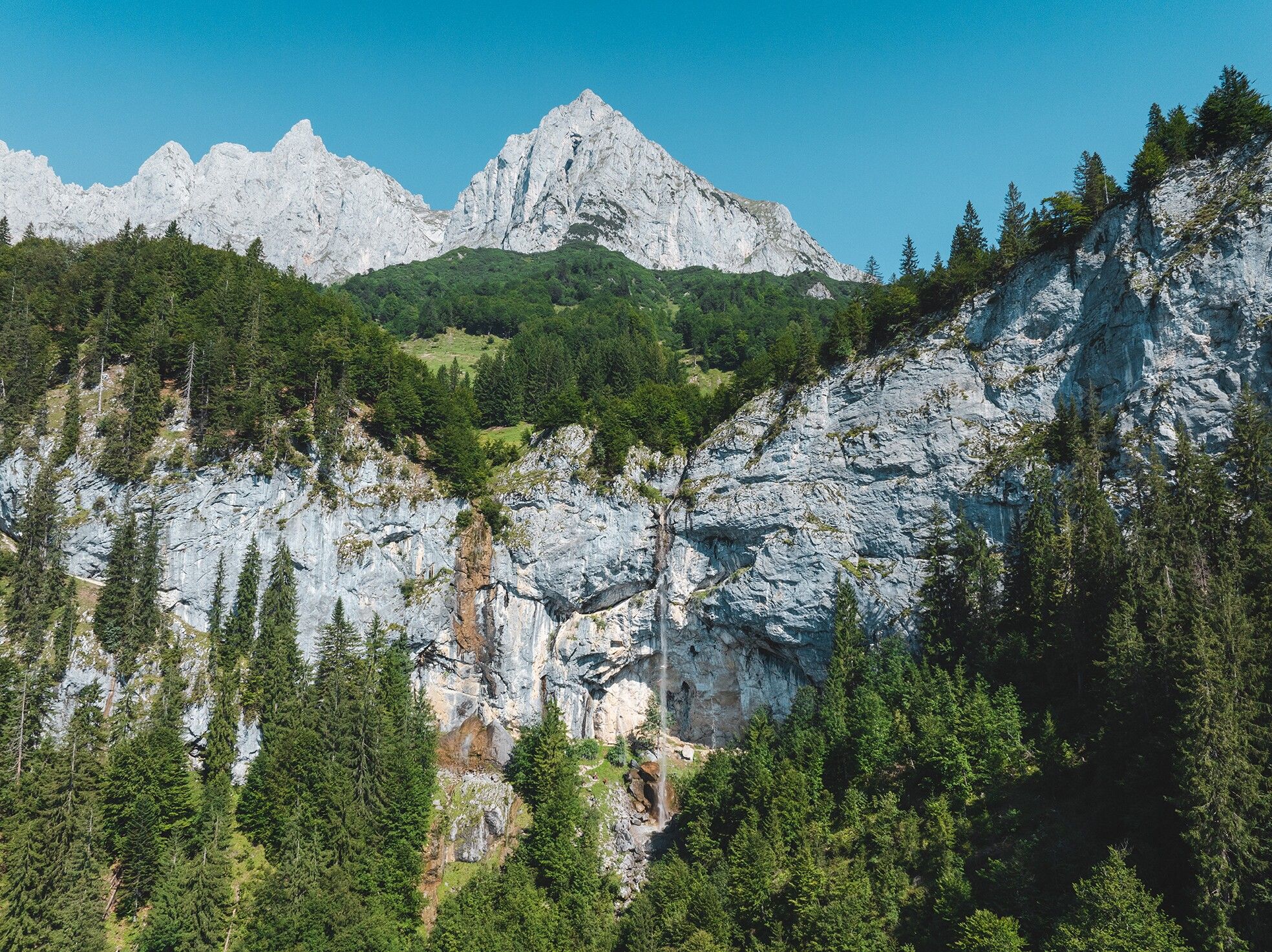
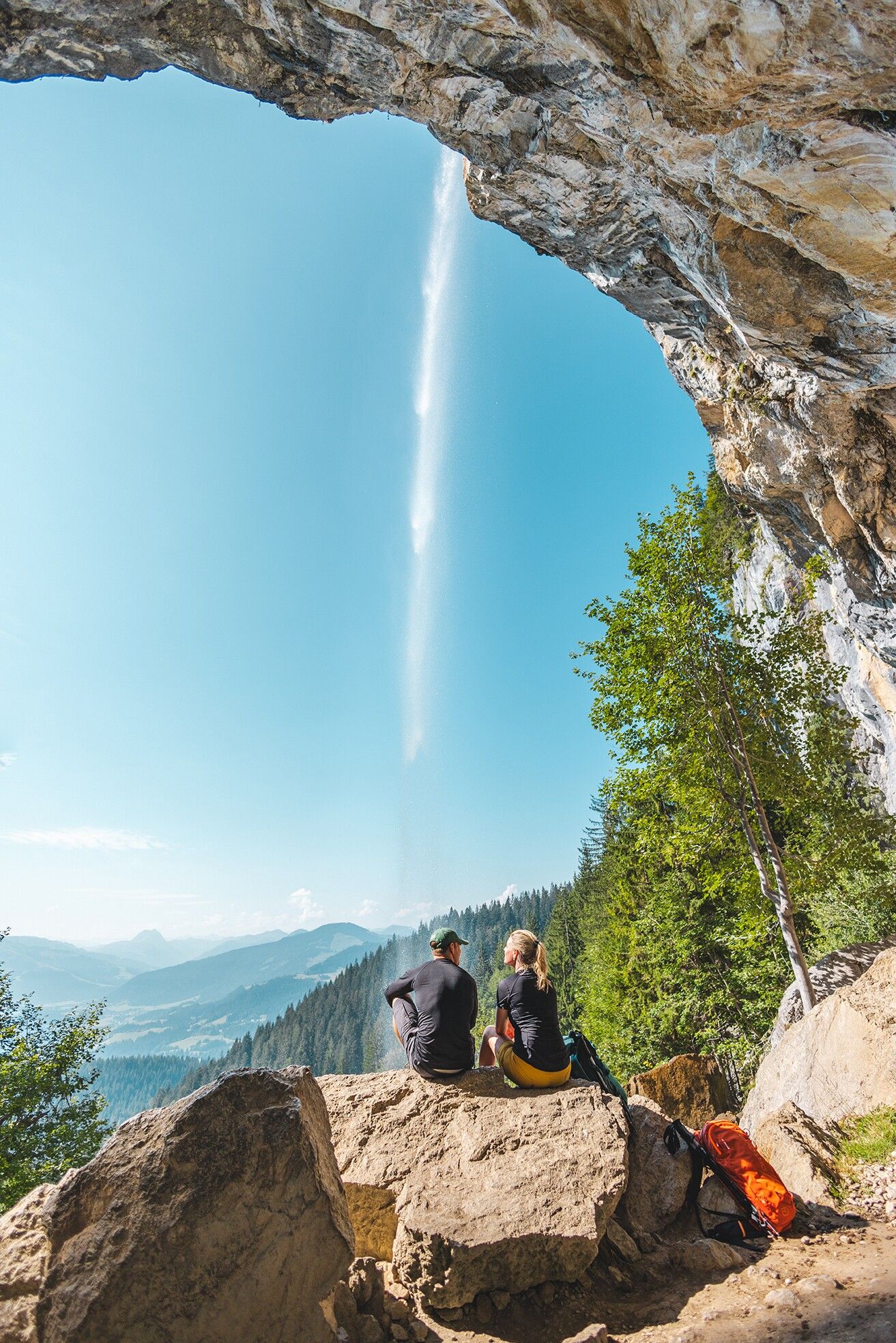
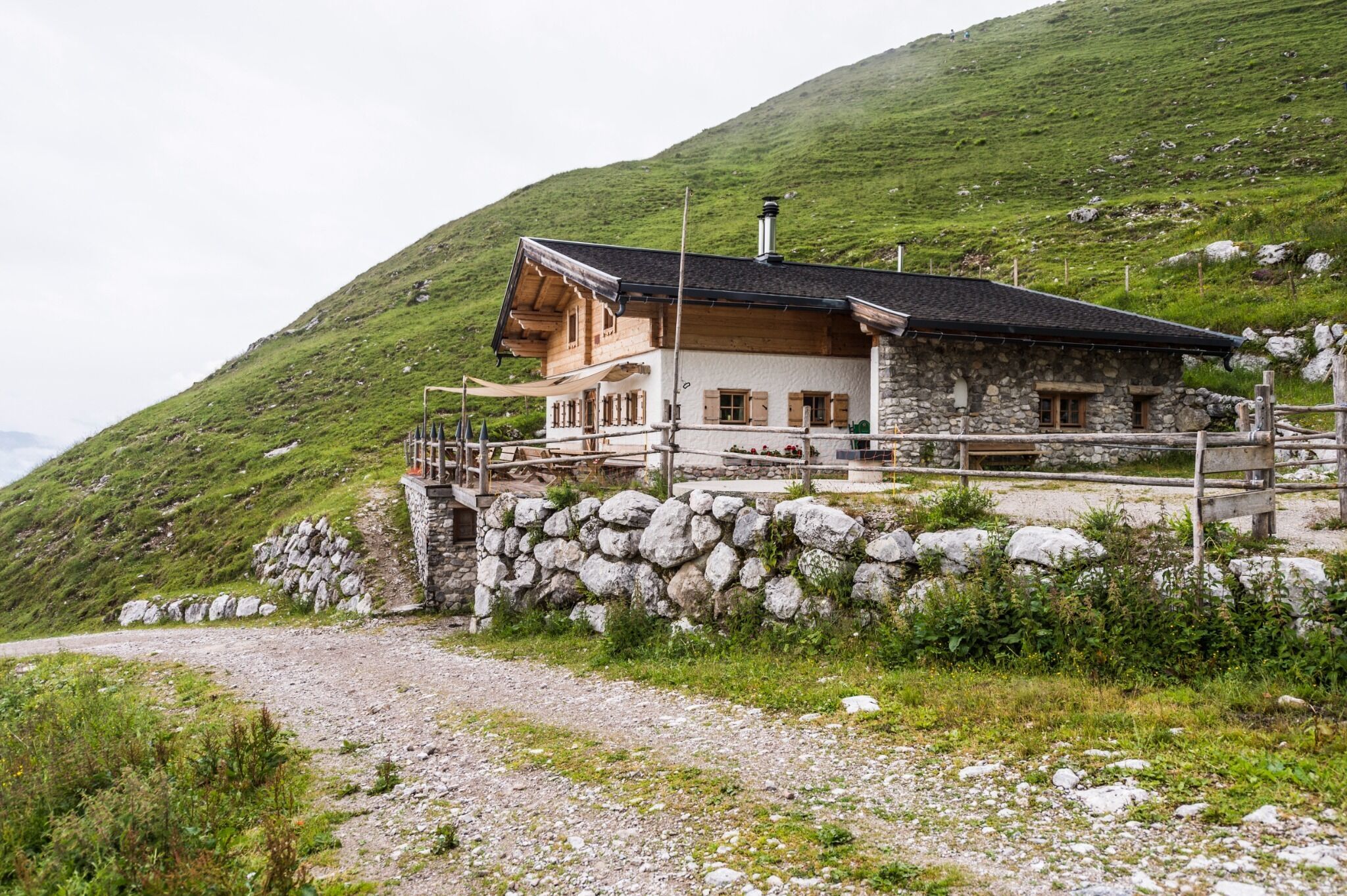
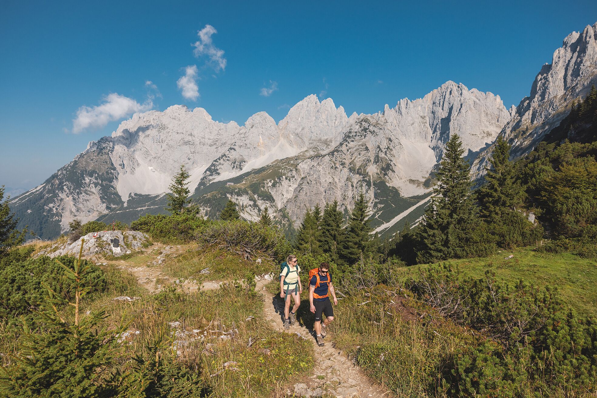
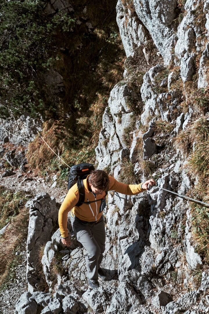
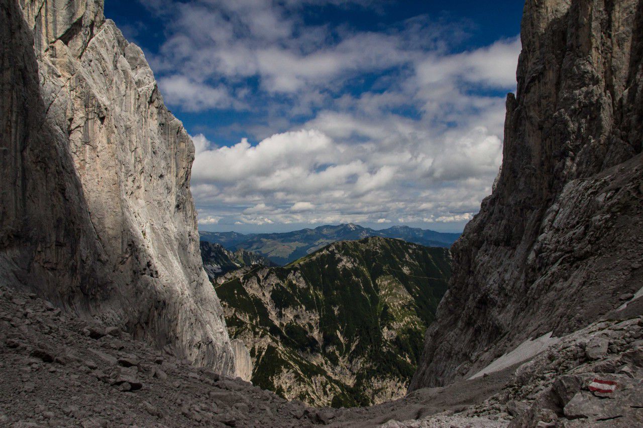
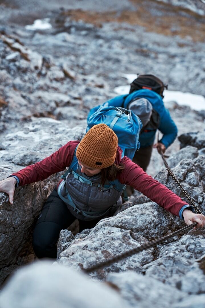
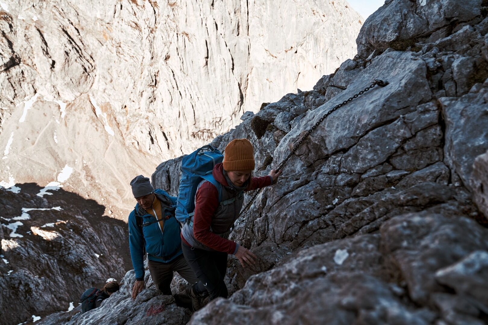
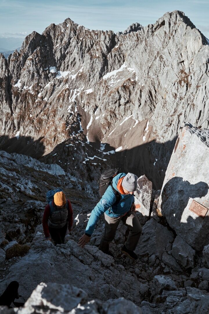
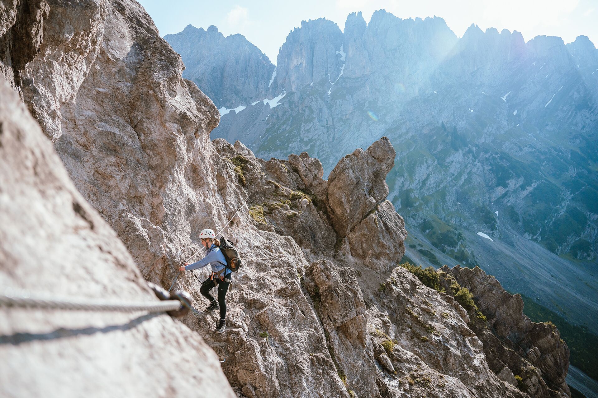
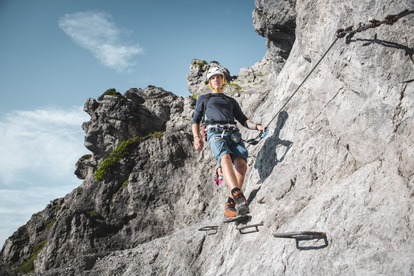
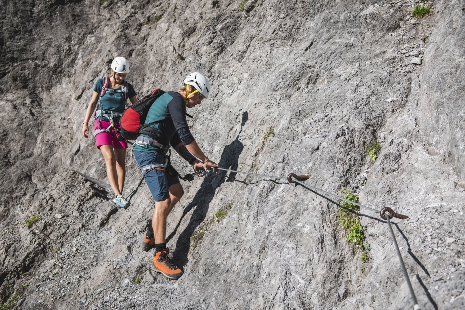
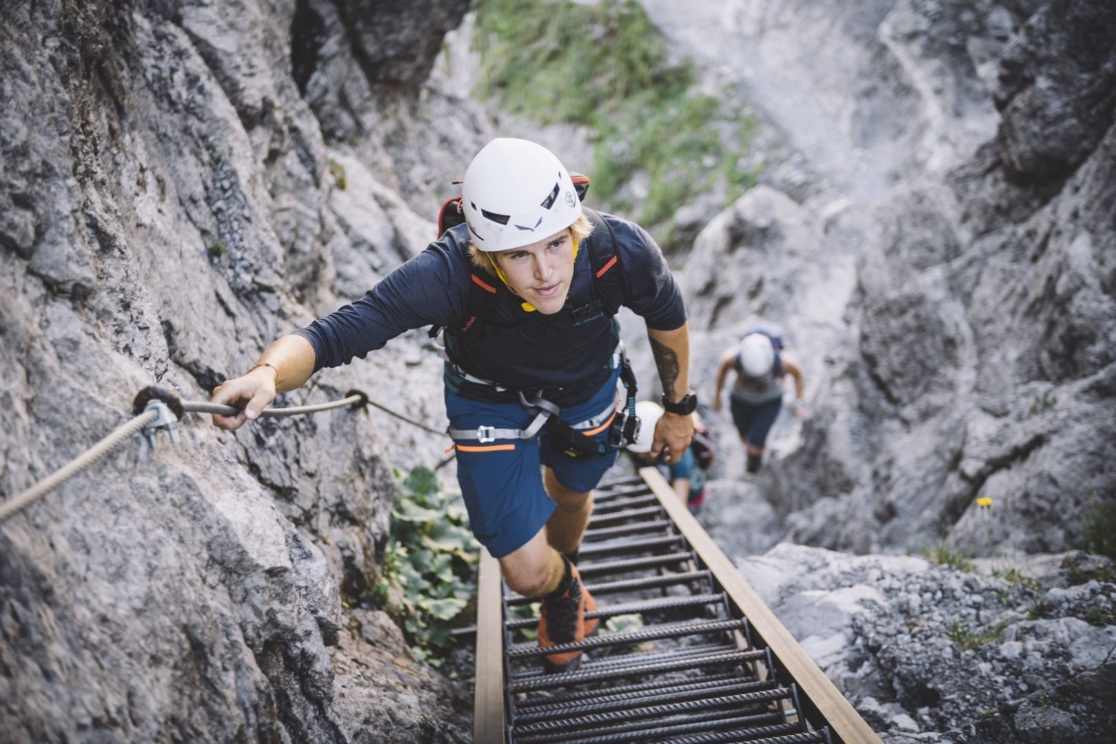
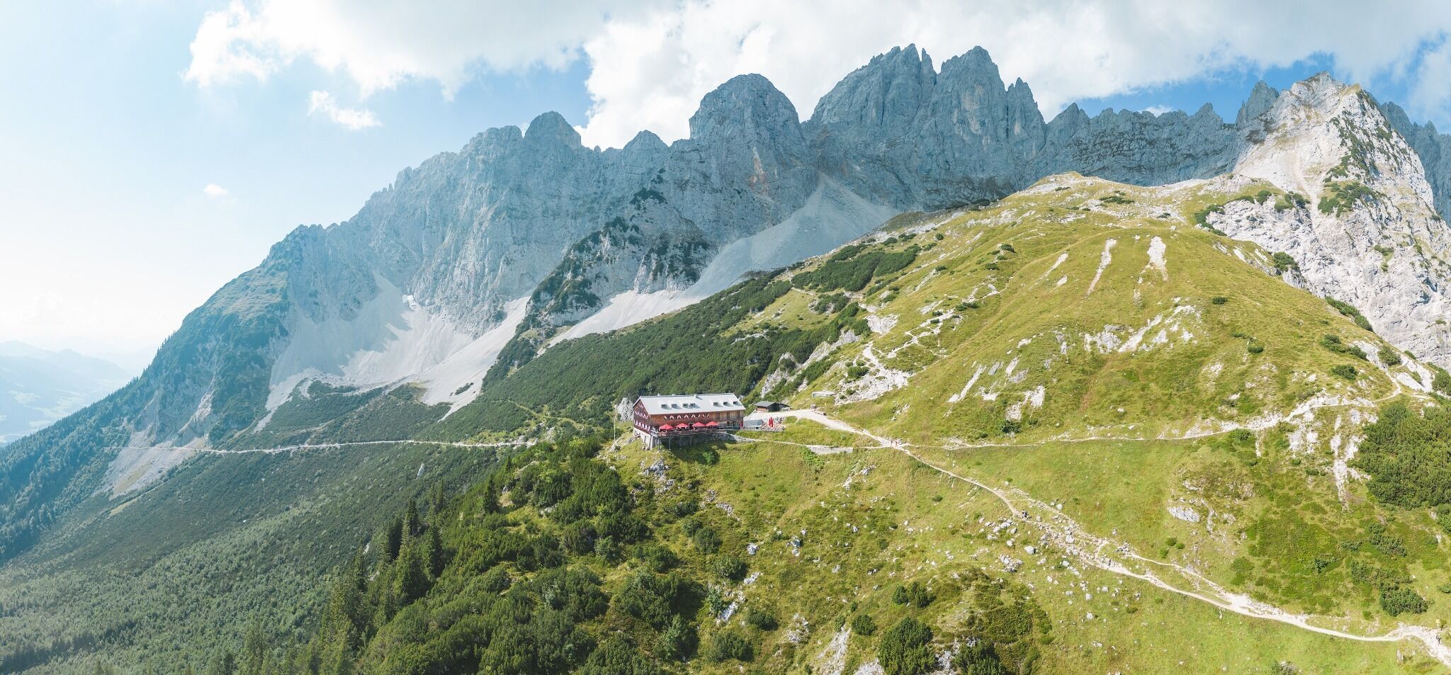
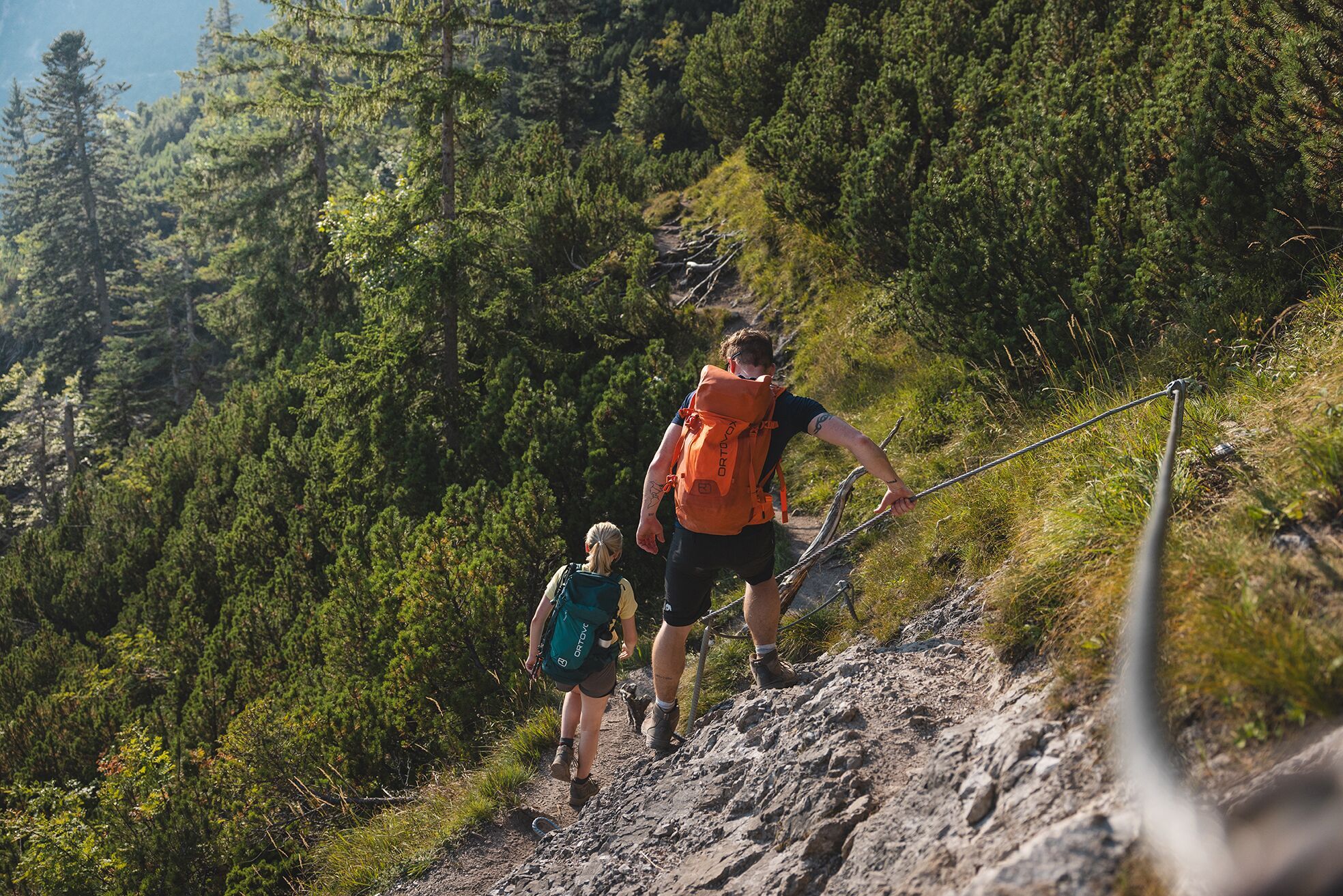
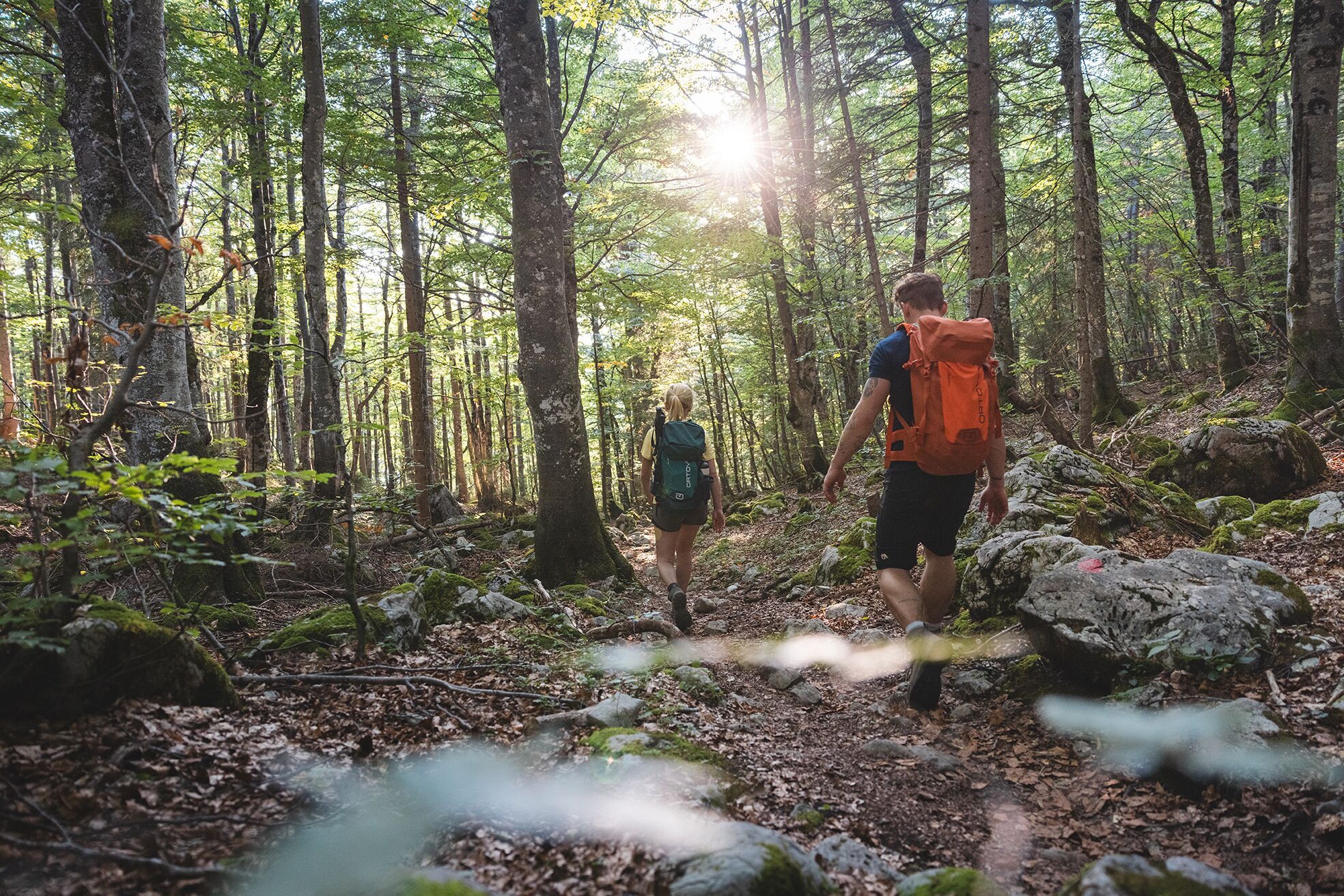
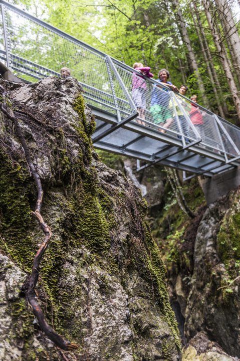
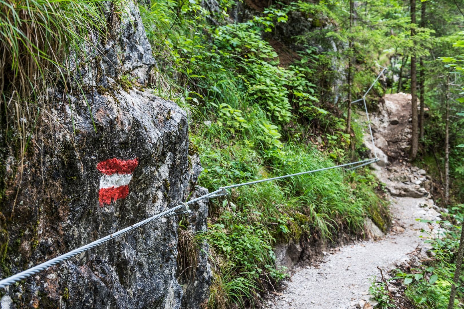
Experienced, well-equipped mountain hiking fans can expect majestic views and extraordinary nature experiences on this challenging, three-day hut tour. It is a classic on the rocky south side of the Wilder Kaiser. Some of the most beautiful places in the mountains, such as the Schleier waterfall, the Ellmauer Tor, the summit of the Hintere Goinger Halt, the Jubiläumssteig, romantic alpine pastures and the Rehbachklamm gorge, are on the route. Most of the time, there is a wide panorama across the Kitzbühel Alps to the glaciated peaks of the main Alpine ridge. Overnight stays are possible at the Gaudeamushütte and the Gruttenhütte. The first and third stages are of moderate difficulty, but the second stage is rated as difficult due to steep, heavily exposed paths and numerous climbing sections with rope protection and footholds. A head for heights and sure-footedness are essential, and a helmet and via ferrata set are highly recommended. Travel to the starting point in Going (Hüttling parking lot) with the hiking bus, departure from Scheffau with the "KaiserJet" or public bus in the direction of Kitzbühel, Wörgl, St. Johann and Kufstein (free with guest card).
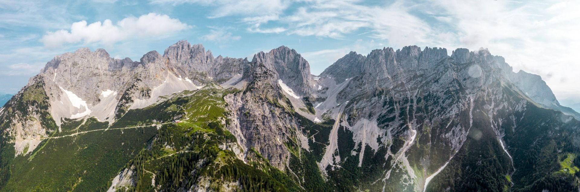
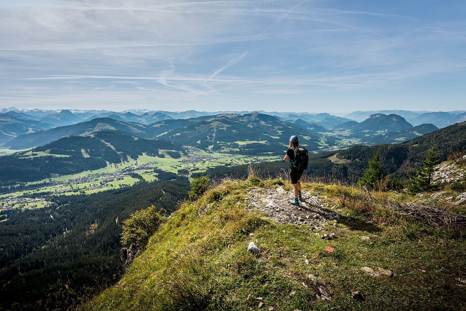


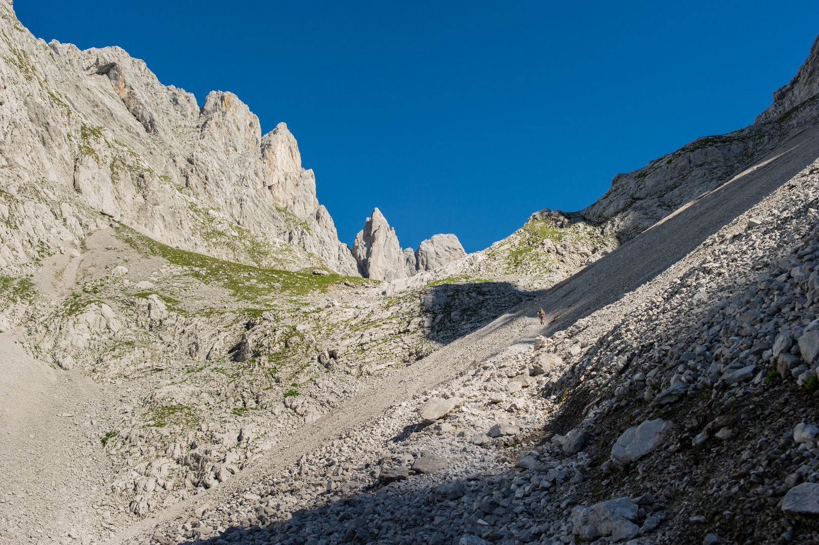
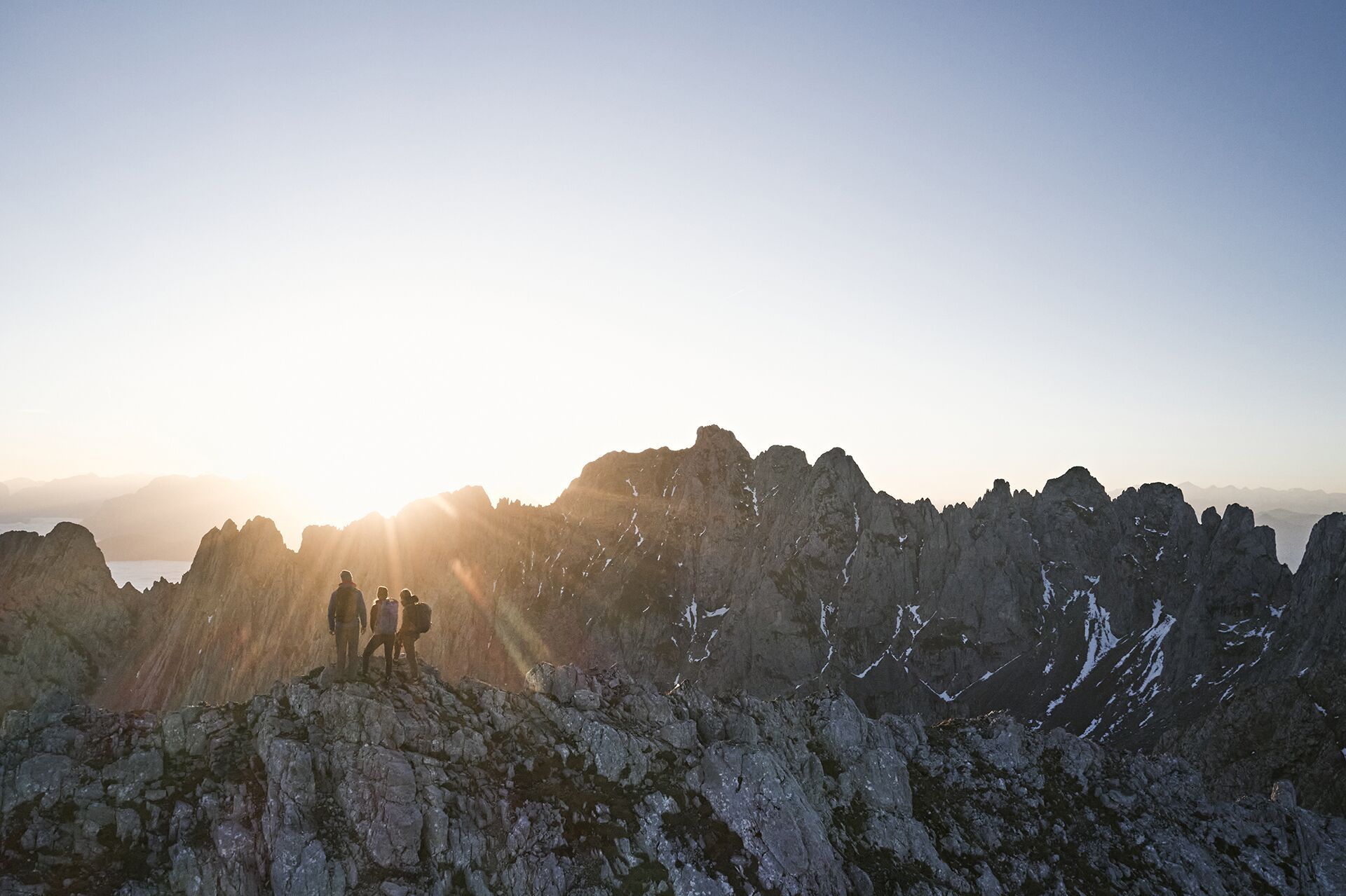
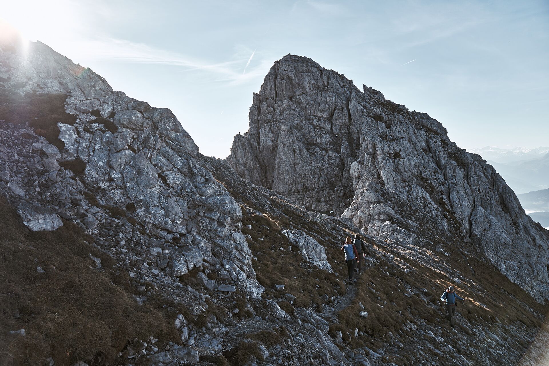
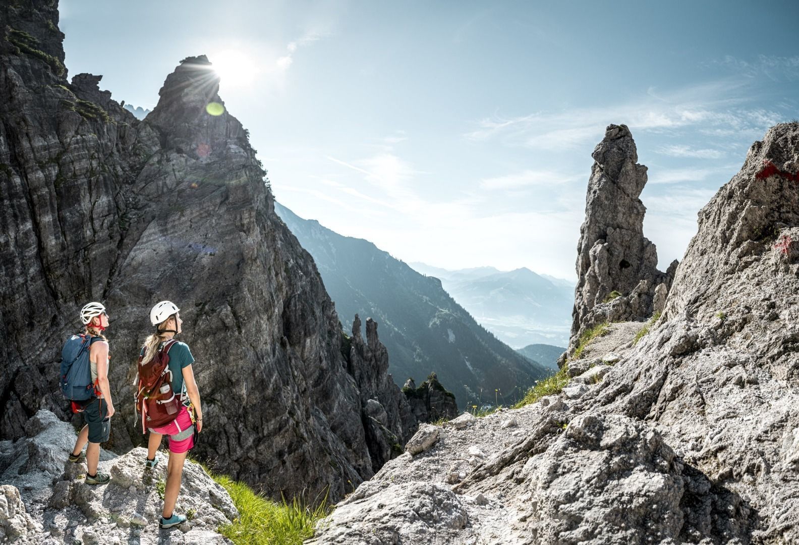
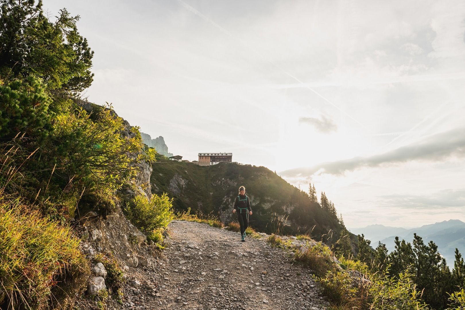
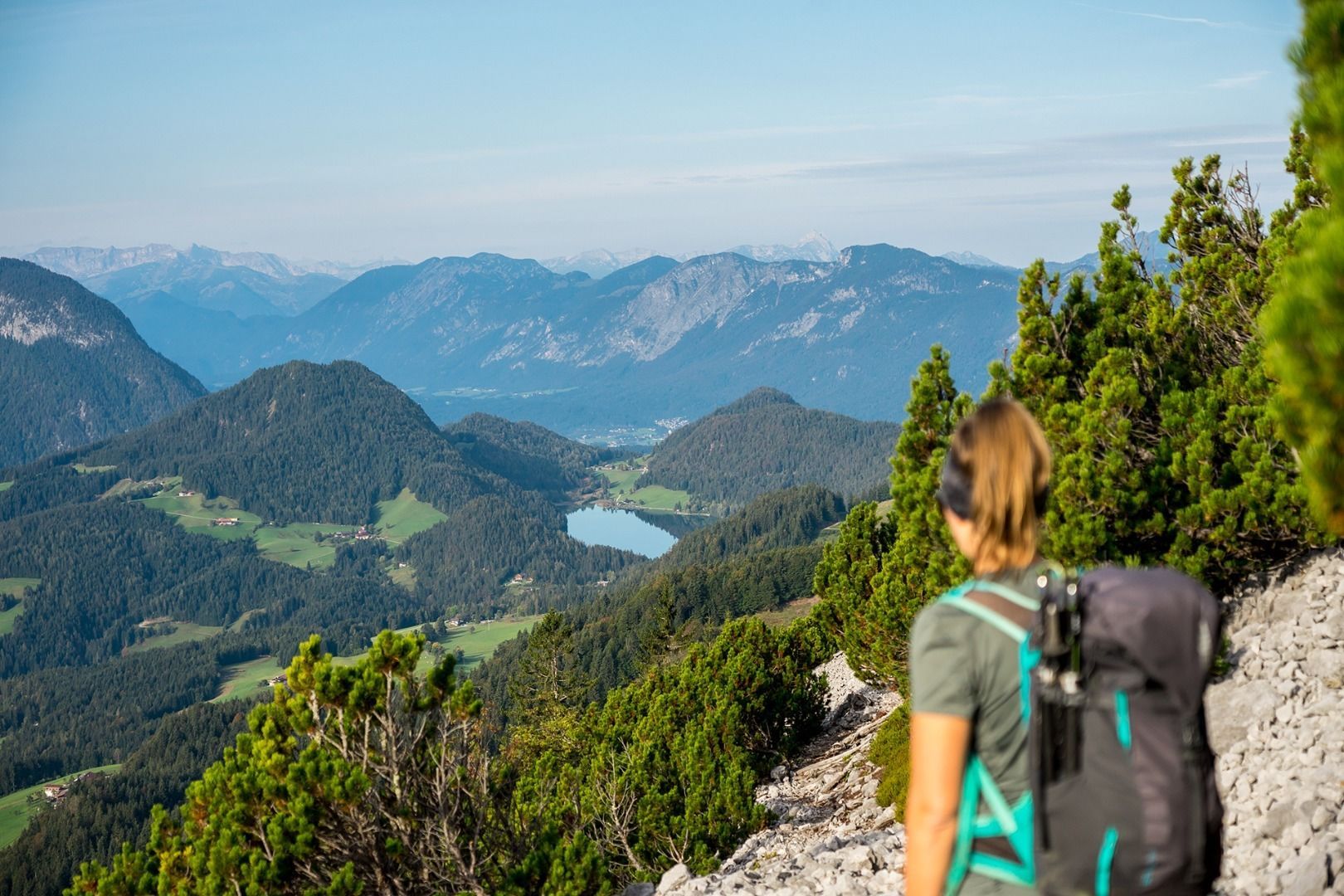
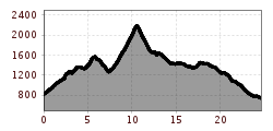
On this challengingthree-day hut tour, you will discover the most beautiful places on the south side of the Wilder Kaiser, including a summit victory.
Stage 1:Requirements: Alpine experience, good physical condition, surefootedness and a head for heights! Helmet (Danger of falling rocks!)
Recommendation: climbing harness & via ferrata set if necessary
(Snow fields can often be expected well into the summer).
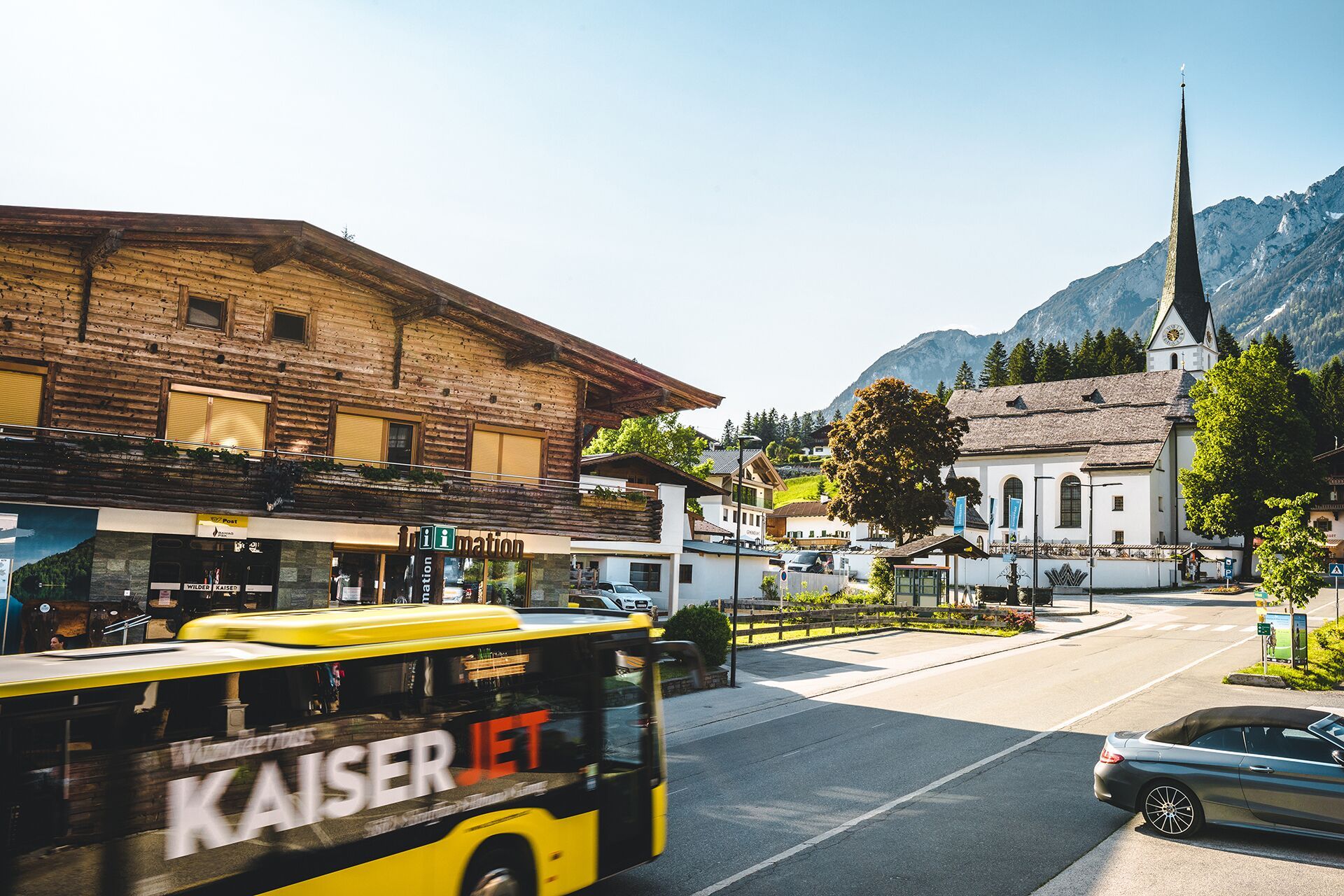
KaiserJet or Public bus stop “Going Dorf”.
From "Ellmau Dorf/Bauhof" or "Going Dorf" bus stop, continue with the "Hüttling Hiking Bus" free of charge to the starting point of the Kaiserkrone to Going Hüttling.
From Scheffau take the free "KaiserJet" hiking and bathing bus back to Going.
Bus stop Scheffau Dorf
More information at www.wilderkaiser.info/mobility
")


.jpg")


