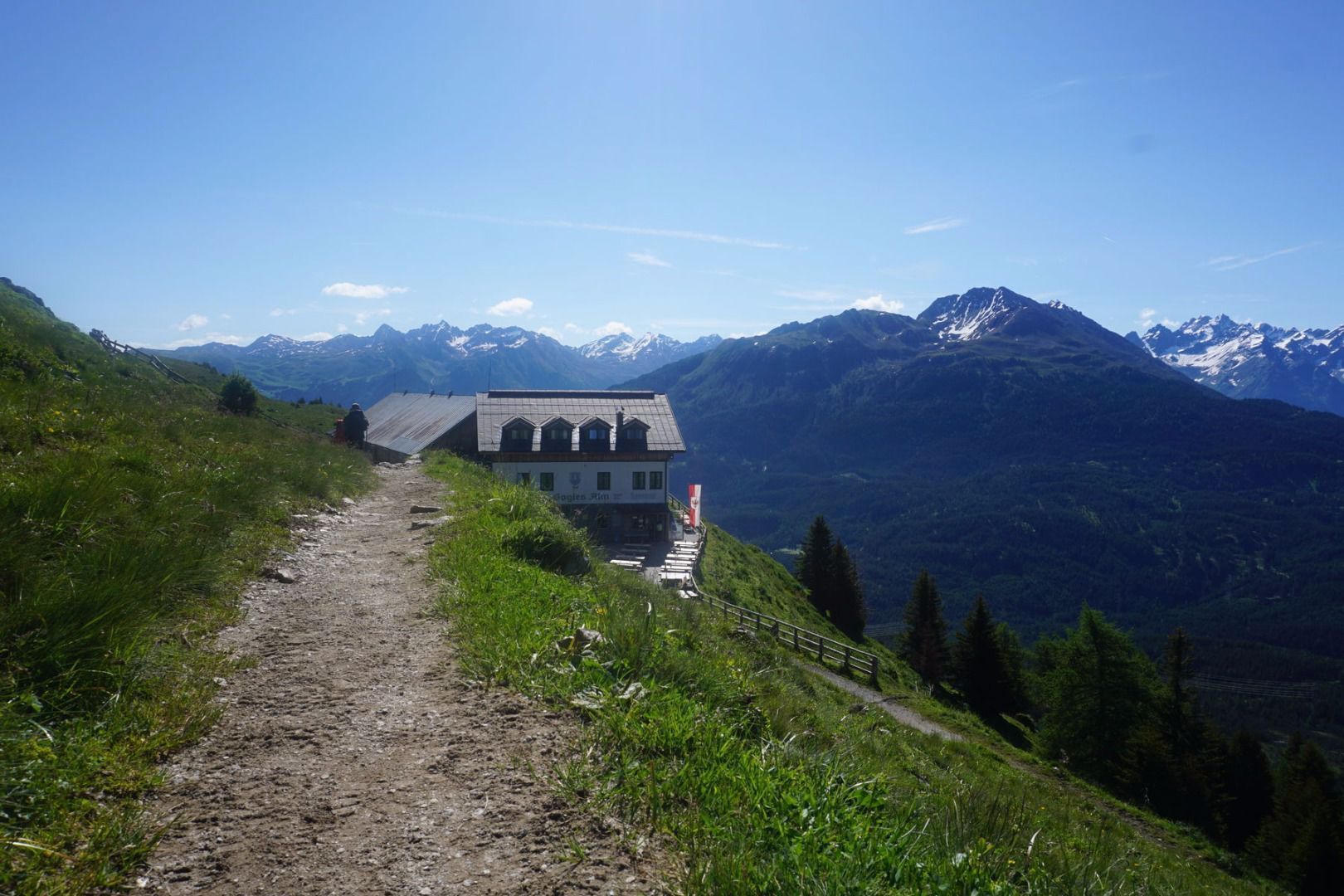
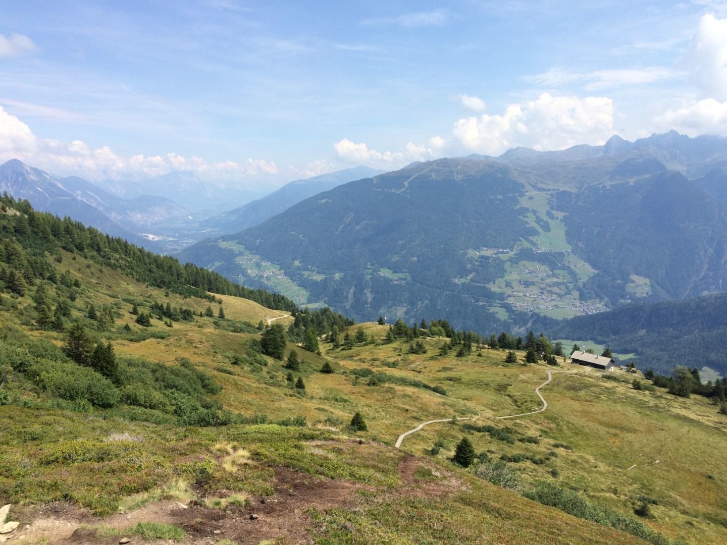
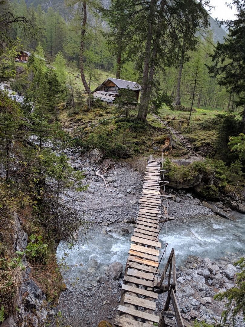
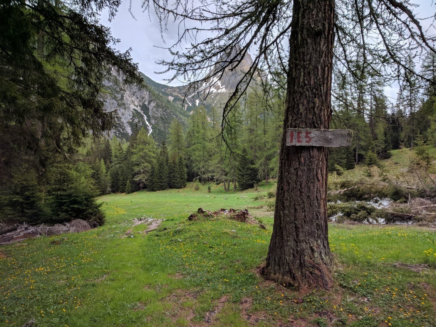
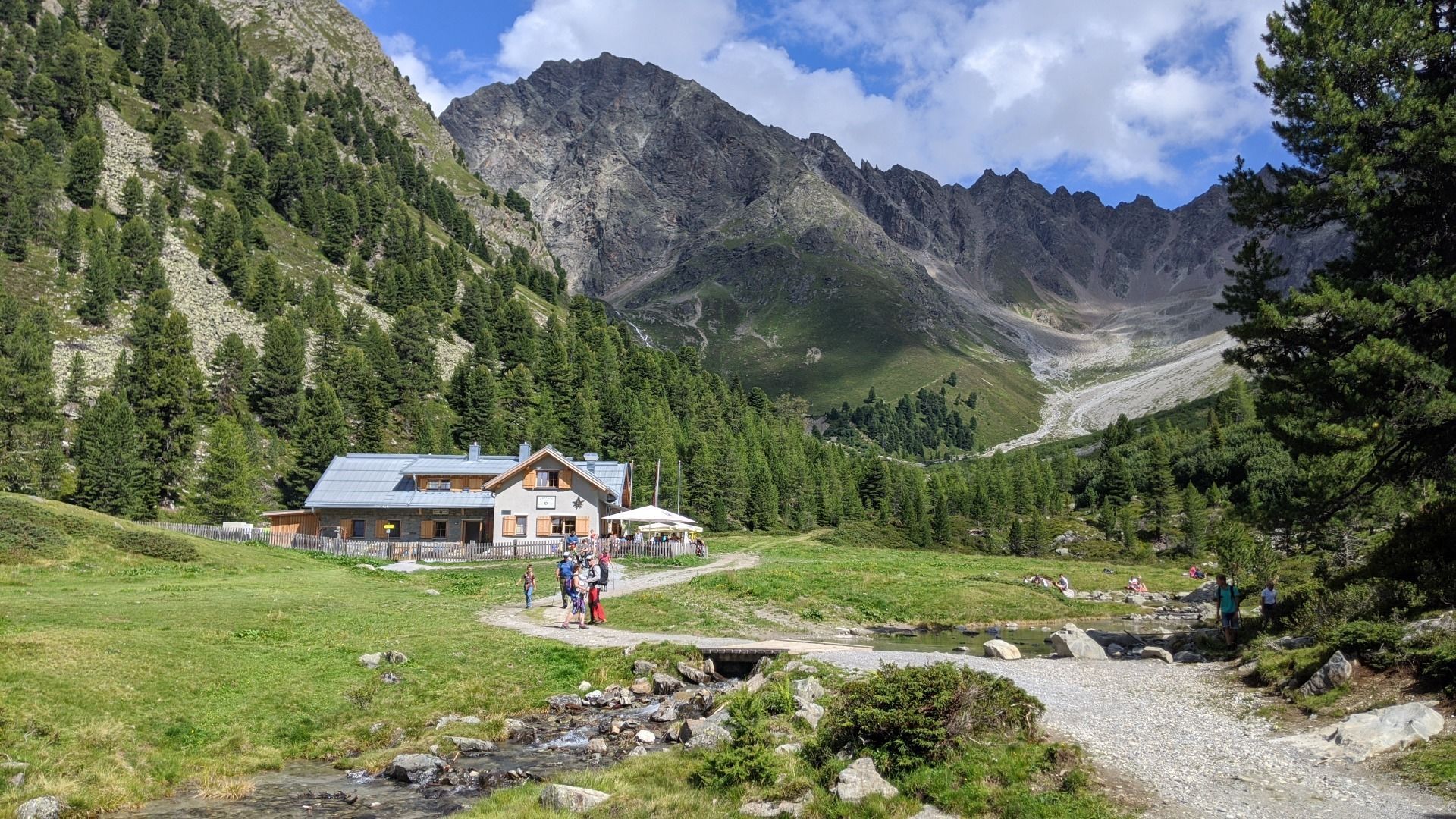
E5 Konstanz - Oberstdorf - Meran E5 Alternative route valley hiking trail: Wenns – Scheibe E5 Zams - Braunschweiger Hütte
Open interactive mapOpen this POI on the interactive mapElevation profileDownloadE5 Konstanz - Oberstdorf - Meran.gpx
hubertuskapelle-ströden-c-berny-steiner.jpg © Berny Steiner Pilgerweg Prägraten a.G.Difficulty:mediumLength:33.1 kmElevation uphill:2,793 mSee trailSee trail: Pilgerweg Prägraten a.G.
Durchs Karwendeltal aufs Karwendelhaus - Scharnitz © Region Seefeld, Miriam Mayer Karwendelmarsch 52 kmDifficulty:mediumLength:53.5 kmDuration:19:00 hElevation uphill:2,180 mSee trailSee trail: Karwendelmarsch 52 km
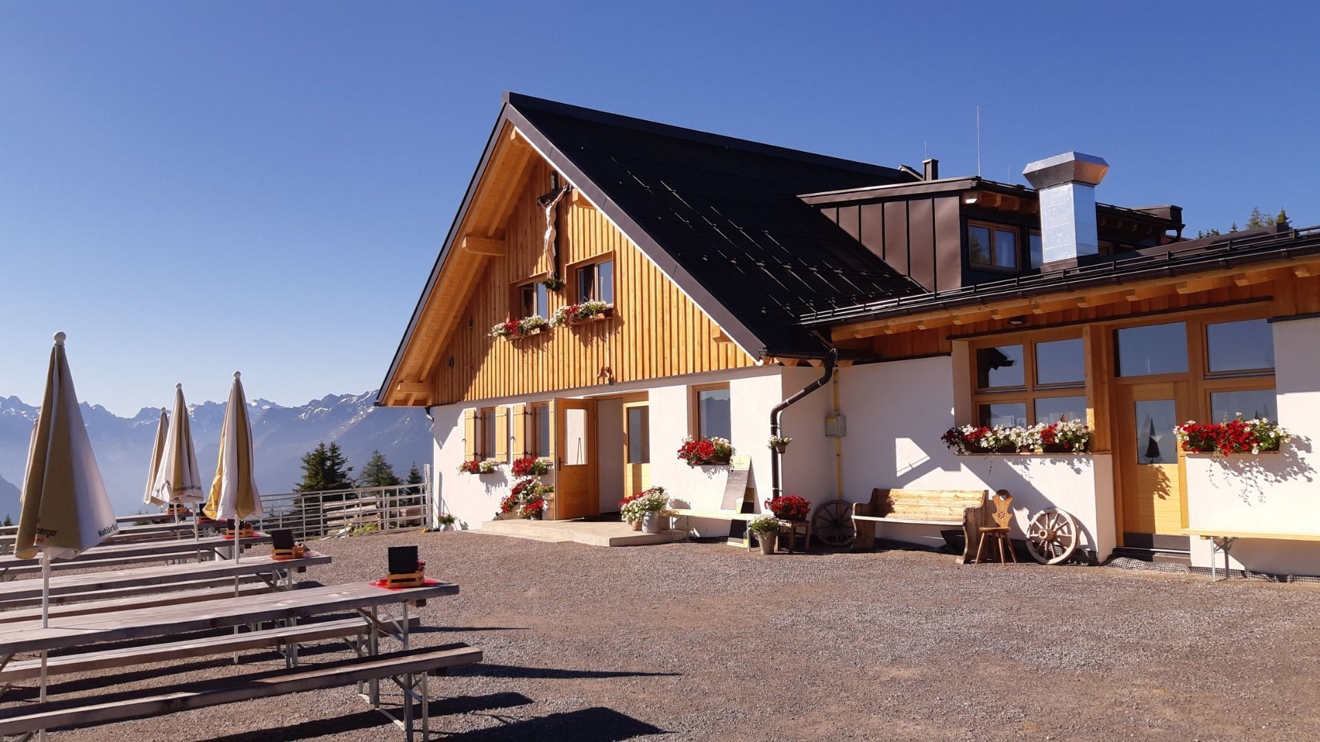
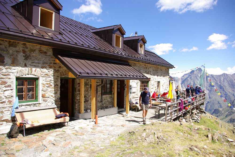
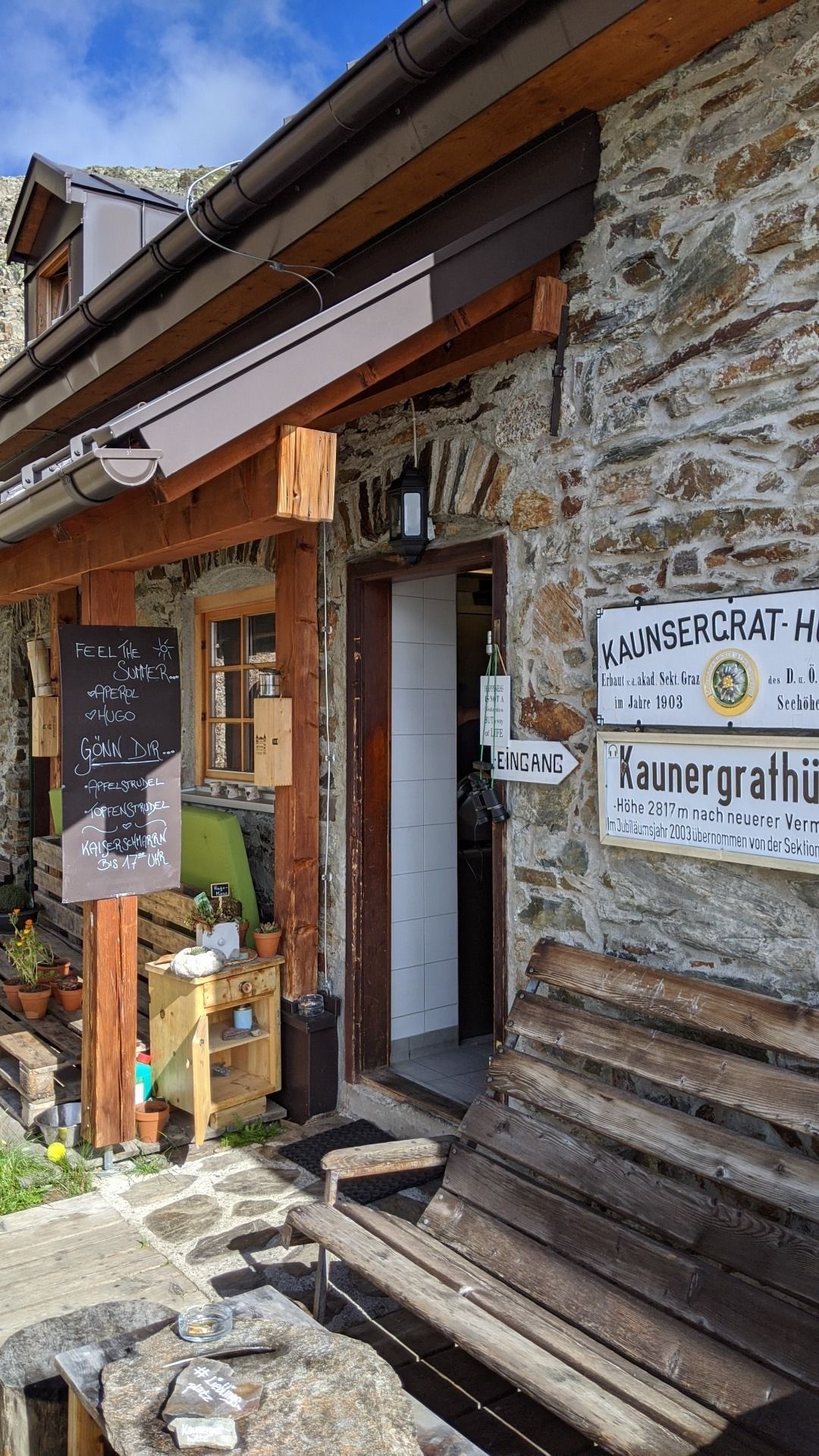
Kaunergrathütte © TVB Pitztal/Roman Huber Kaunergrat Circular Route - 3 DaysDifficulty:difficultLength:22.8 kmDuration:13:00 hElevation uphill:2,650 mSee trailSee trail: Kaunergrat Circular Route - 3 Days
MaucheleWA055.jpg © TVB Pitztal/Bernd Ritschl Kaunergrat Circular Route - 5 DaysDifficulty:difficultLength:42.5 kmDuration:23:00 hElevation uphill:3,804 mSee trailSee trail: Kaunergrat Circular Route - 5 Days
Nature park house_with hiker.JPG © TVB Pitztal Kaunergrat Circular Route - 7 DaysDifficulty:difficultLength:66.4 kmElevation uphill:5,496 mSee trailSee trail: Kaunergrat Circular Route - 7 Days
hintere-ochsenalm-blick-lapawitzkees-glocknergruppe-c-eva-oberhauser.jpg © Eva Oberhauser Großglockner trekDifficulty:difficultLength:86.1 kmElevation uphill:7,209 mSee trailSee trail: Großglockner trek
Adlerweg Logo © TVB Osttirol Adlerweg trail through OsttirolDifficulty:difficultLength:93.3 kmElevation uphill:7,101 mSee trailSee trail: Adlerweg trail through Osttirol
wanderung-grosser-zunig-wokenmeer-c-bernhard-assmair.jpg © Bernhard Aßmair Lasörling altitude trailDifficulty:mediumLength:55.4 kmDuration:25:00 hElevation uphill:3,718 mSee trailSee trail: Lasörling altitude trail
loebbentoerl-schlatenkees-sommer-2024-c-bernhard-assmair.JPG © Bernhard Aßmair Venediger altitude trailDifficulty:difficultLength:55.5 kmDuration:27:00 hElevation uphill:3,975 mSee trailSee trail: Venediger altitude trail
Gschnitztaler Hüttenstern ALPSOLUTpictures (115).jpg © Johannes Mair // ALPSOLUT Pictures Gschnitztaler HüttensternDifficulty:mediumLength:10.8 kmDuration:4:14 hElevation uphill:538 mSee trailSee trail: Gschnitztaler Hüttenstern
Potsdamer-Hütte.jpg © Innsbruck Tourismus The Sellrain Valley Mountain Hut TourDifficulty:difficultLength:84.3 kmDuration:40:00 hElevation uphill:5,085 mSee trailSee trail: The Sellrain Valley Mountain Hut Tour
Zireiner See Abendstimmung © Thomas Kargl 4 days - 4 summits tourDifficulty:mediumLength:54.4 kmDuration:23:00 hElevation uphill:3,408 mSee trailSee trail: 4 days - 4 summits tour
The Tyrolean section of The Way of St. James through InnsbruckDifficulty:easyLength:81.4 kmDuration:21:00 hElevation uphill:900 mSee trailSee trail: The Tyrolean section of The Way of St. James through Innsbruck
Wildseeloderhaus © Toni Niederwieser WaiWi - from Waidring to the WildseeloderDifficulty:mediumLength:50.0 kmDuration:24:00 hElevation uphill:3,200 mSee trailSee trail: WaiWi - from Waidring to the Wildseeloder
Alpbachtal Hüttenjause auf der Farmkehralm © Mathäus Gartner 3-day Family Tour AlpbachtalDifficulty:easyLength:18.3 kmDuration:7:00 hElevation uphill:998 mSee trailSee trail: 3-day Family Tour Alpbachtal
Dürrenberg © Rene Paulweber / Fotostudio Rene Circular Route Around the Valley Basin | 3-Day Hiking TourDifficulty:mediumLength:32.0 kmDuration:15:00 hElevation uphill:2,459 mSee trailSee trail: Circular Route Around the Valley Basin | 3-Day Hiking Tour
Füssener Hütte © Rene Paulweber Through the Tannheim mountains | 4-day tourDifficulty:mediumLength:35.0 kmDuration:15:00 hElevation uphill:2,200 mSee trailSee trail: Through the Tannheim mountains | 4-day tour
KarwendeltourDifficulty:mediumLength:41.0 kmDuration:15:50 hElevation uphill:1,875 mSee trailSee trail: Karwendeltour
hochundheilig-etappe4-hollbruck-c-peter-maier.jpg © Peter Maier High and sacred – an Alpine pilgrim trail through East Tyrol, South Tyrol and Upper CarinthiaDifficulty:mediumLength:191.6 kmDuration:77:45 hElevation uphill:10,475 mSee trailSee trail: High and sacred – an Alpine pilgrim trail through East Tyrol, South Tyrol and Upper Carinthia
Panorama Südseite_Wilder Kaiser © TVB Wilder Kaiser/Stefan Leitner 3-day hut tour Wilder KaiserDifficulty:difficultLength:24.6 kmDuration:14:00 hElevation uphill:2,060 mSee trailSee trail: 3-day hut tour Wilder Kaiser
unweit der Gramai Alm - Blick zur Lamsenspitze © Achensee Tourismus Karwendel tourDifficulty:difficultLength:44.2 kmDuration:24:00 hElevation uphill:3,955 mSee trailSee trail: Karwendel tour
2023_TVB-Ischgl-Paznaun_Sommer_Cross-Trail_Gruebele-See_WEST_3267.jpg © TVB Paznaun-Ischgl 01 Premium long-distance hiking trail - High route PaznaunDifficulty:mediumLength:138.6 kmDuration:60:00 hElevation uphill:10,316 mSee trailSee trail: 01 Premium long-distance hiking trail - High route Paznaun
hochundheilig-etappe8-nikolauskirche-c-peter-maier.jpg © Peter Maier Talweg Matrei i. O.Difficulty:mediumLength:15.3 kmDuration:4:50 hElevation uphill:397 mSee trailSee trail: Talweg Matrei i. O.
Panorama Südseite_Wilder Kaiser © TVB Wilder Kaiser/Mathäus Gartner Kaiserkrone - around the Wilder Kaiser in 5 daysDifficulty:mediumLength:57.7 kmDuration:27:00 hElevation uphill:4,000 mSee trailSee trail: Kaiserkrone - around the Wilder Kaiser in 5 days
Give feedback for a chance to win a special holiday experience!Click here for the surveyClick here for the survey


.jpg")


