
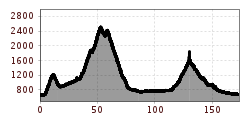
Difficulty:easy
Length:8.9 kmDuration:3:30 hElevation uphill:466 m
Around the Großglockner
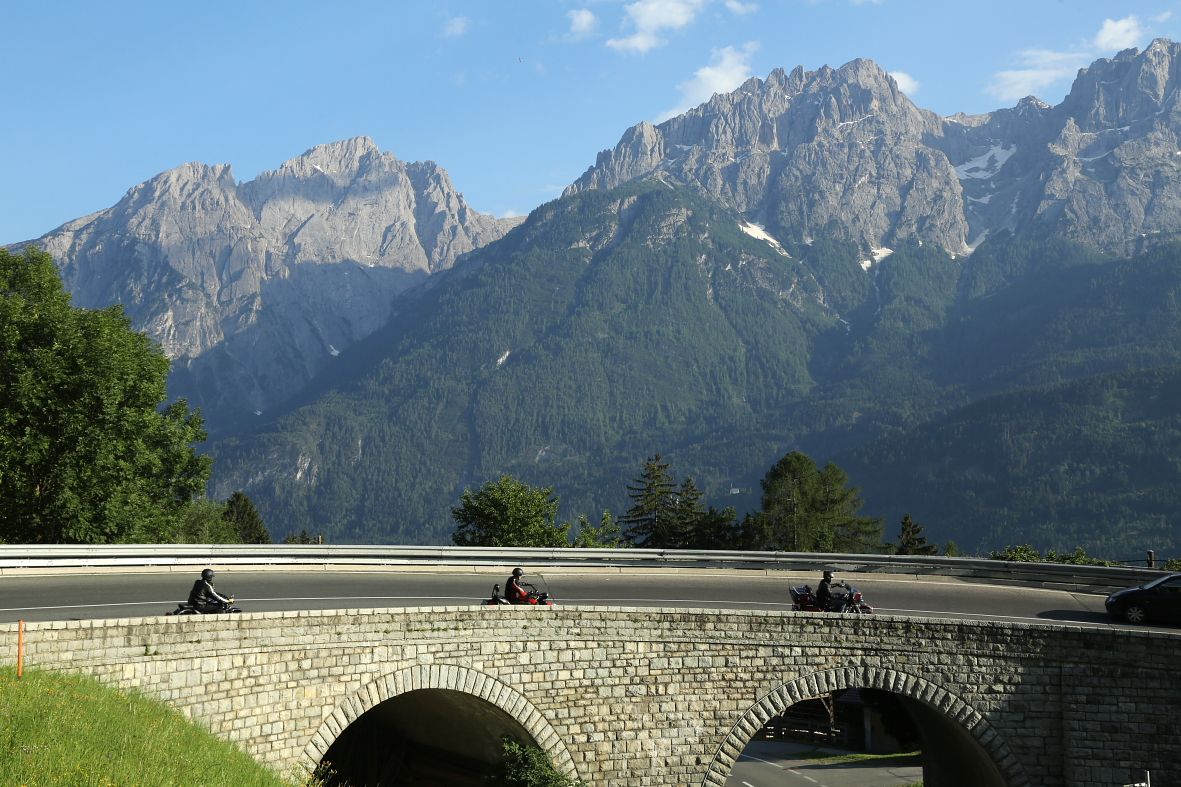
You can head for the Großglockner from East Tyrol via the Großglockner road in Kals, and also via Carinthia on the Großglockner road. It is still one of the most scenically inspiring altitude roads in the entire alpine area. The roads mentioned, including the Felbertauernstraße, are all private roads for which a toll is payable. The Großglockner high Alpine road – from Lienz initially for around 5 km to Carinthia and via the Iselsberg to Winklern. Heading in to the Mölltal valley until you reach Heiligenblut. From here, via numerous serpentines, you get to the visitors’ centre at Kaiser-Franz-Josefs-Höhe, where there are views to the Pasterze. The route continues via Hochtor and Fuschertörl to Bruck via Zell am See to Mittersill. You get back to East Tyrol again via the Felbertauernstraße. From Huben there is the option to bear left and approach the Großglockner from the East Tyrol side via the Großglocknerstraße in Kals. At Lucknerhaus there is a dreamy view to Austria’s highest mountain. The roads are open during the day, depending on the snow conditions, from the start of May through to mid-November.


 neu.jpg")


")

")


 (1).jpg")

.jpg")
