Mountain hikes Achenkirch - Kotalm Hochleger - Steinernes Tor - Achenkirch

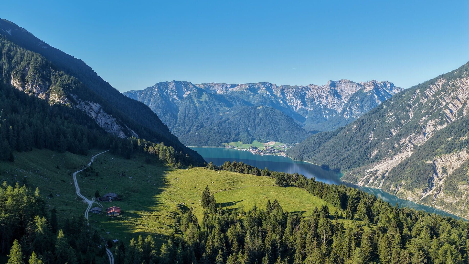
Achenkirch am Achensee / Brandenberg Alps (Rofan)
Difficulty ratings: medium
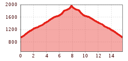
Route length: 15.7 km
Duration: 6:30 h

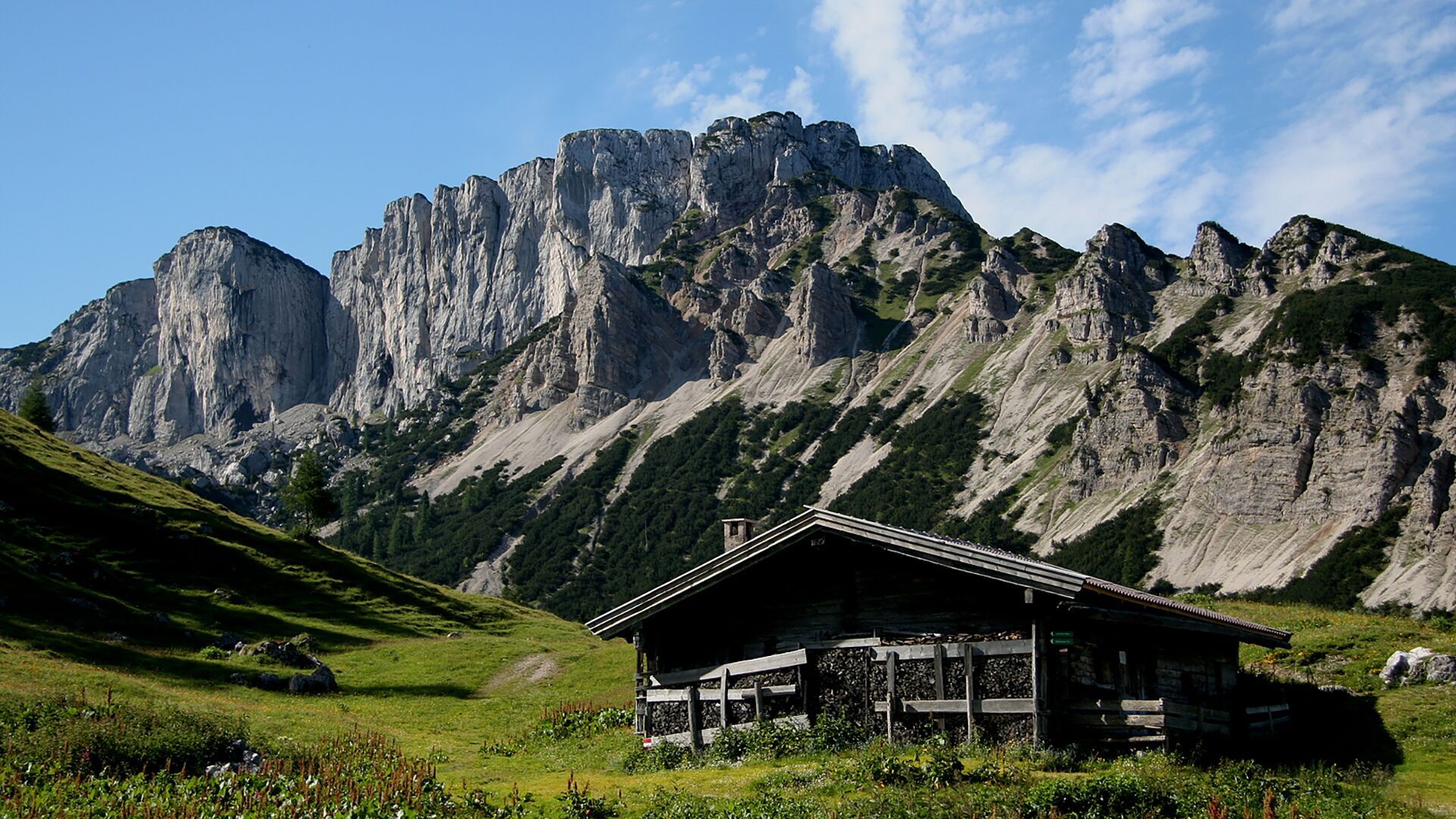
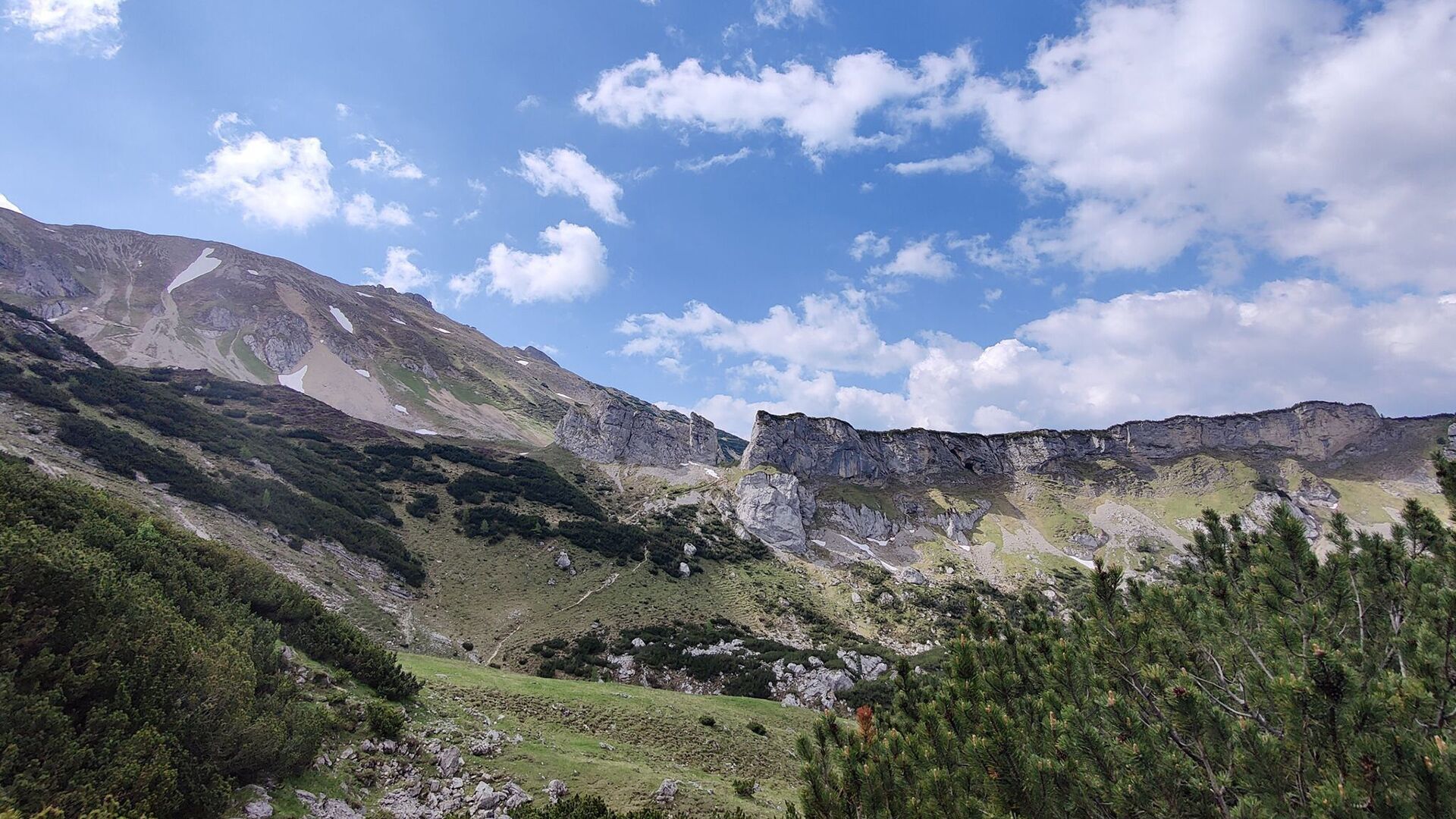
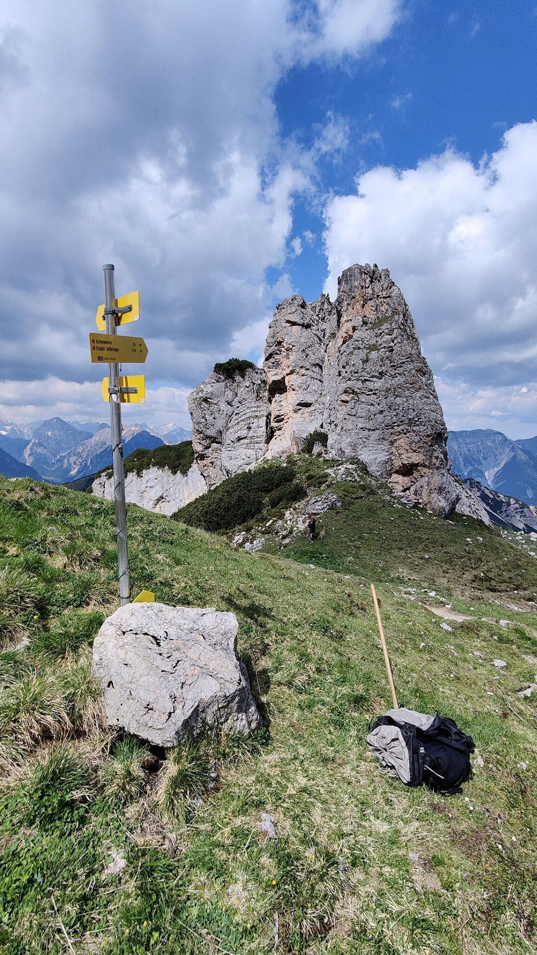
A varied mountain hike via the Kotalmen mountain pastures to the Steinernes Tor (1,955 metres), an impressive natural rock arch in the Rofan Mountains.

Tour information

  • Requirement: medium
  • Length: 15.7 km
  • Duration: 6:30 h
  • Elevation uphill:1,015 hm
  • Elevation downhill:1,015 hm
Highest point1,955 m

Starting point

Achenkirch, Seehof Ost car park

Finishing point

Achenkirch, Seehof Ost car park
  • Fitness level 4 / 6
  • Technique 2 / 6

Best time of year

  • January
  • February
  • March
  • April
  • May
  • June
  • July
  • August
  • September
  • October
  • November
  • December

Trail condition

forest path, hiking trail

Equipment

Sturdy boots (ankle-high hiking boots), weather appropriate clothing. Telescopic hiking poles are recommended.
Source: Achensee Tourismus

Description

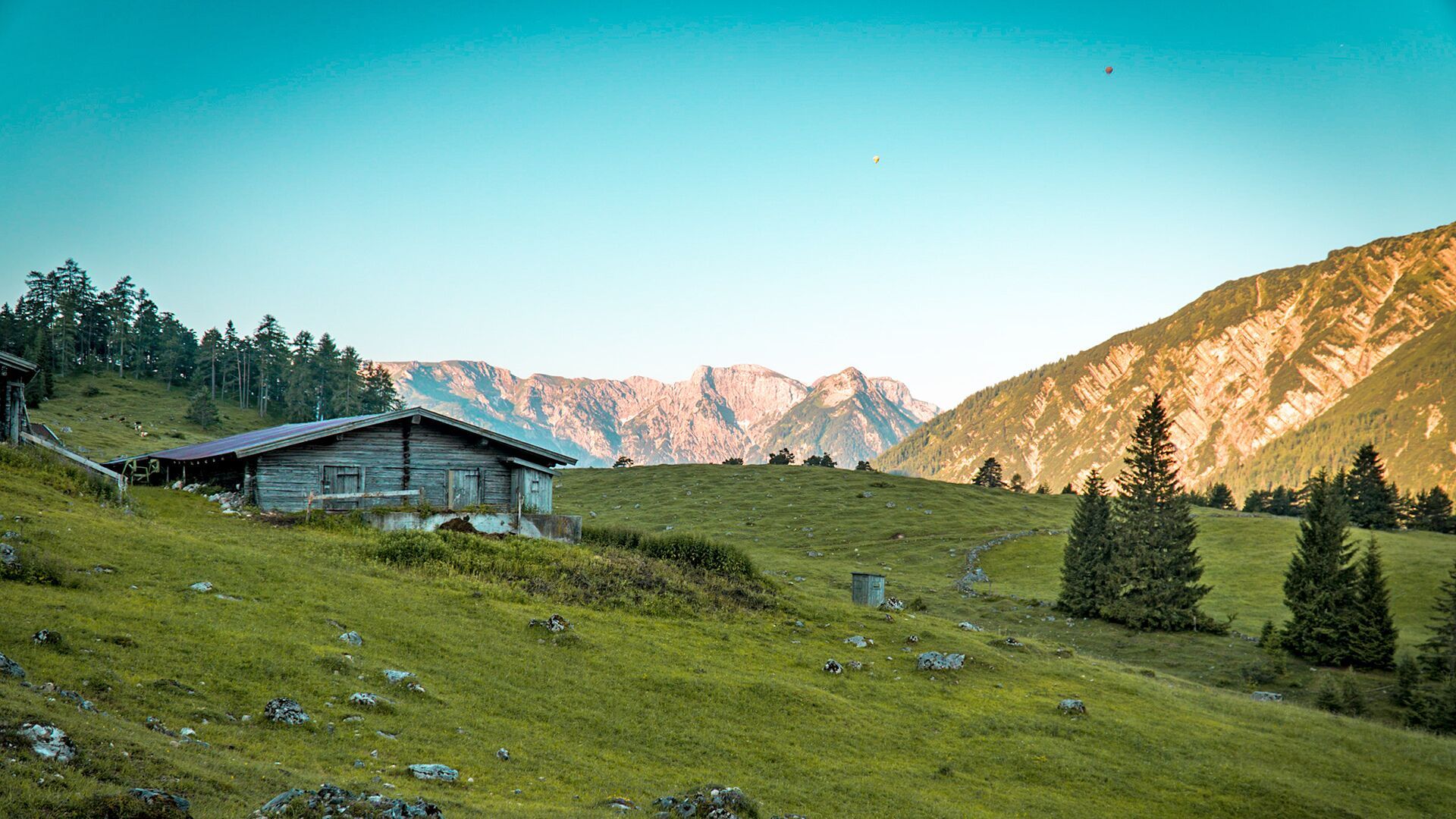
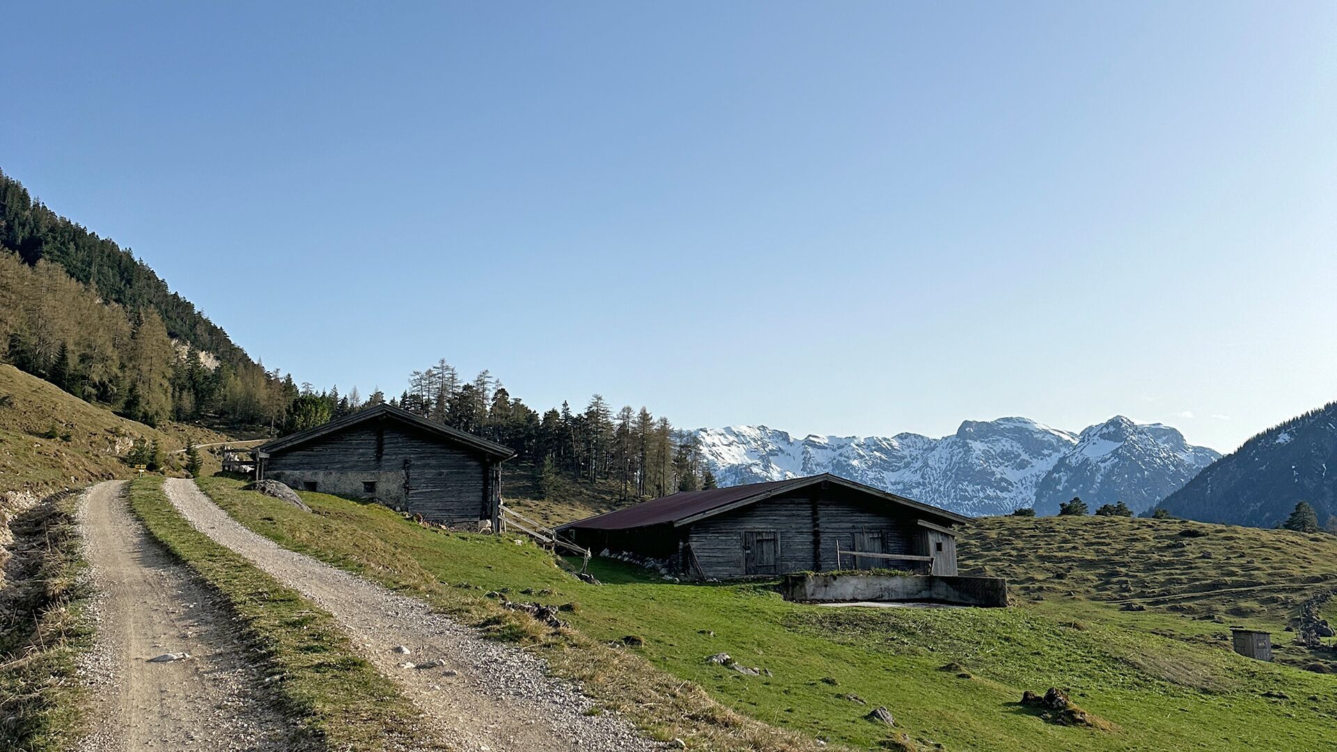
From the Seehof Ost car park near Abenteuerpark Achensee in Achenkirch, a wide forest road takes you to the mountain huts Kotalm Niederleger (not serviced) and Kotalm Mitterleger (not serviced). From here, a scenic trail leads to the decrepit Kotalm Mitterleger and the Steinerne Tor (1,955 metres). The return is via the same route.

Getting here

  • Arrival by public transport

    Take the regional bus to Achenkirch (line 4080 or 390) and get off at the "Achenkirch Achenseehof" stop.

  • Parking

    Seehof Ost car park in Achenkirch (paid parking)

Weather

Today

clear sky
20°C/6°C
5%0l5 km/h

Sun

mainly clear
22°C/7°C
85%6.8l10 km/h

Mon

light rain showers
20°C/10°C
75%1.5l5 km/h
Go to weather forecast

More tours in the surrounding area

Newsletter

The mountain is calling? So does our newsletter!

In our monthly newsletter we reveal the best holiday tips for Tyrol.