Adi Raich Steig

Ried im Oberinntal / Ötztal Alps
Difficulty ratings: easy
Route length: 2.9 km
Duration: 2:10 h

A pleasant walk from the center of Ried via Kalvarienberg to St. Christina.

Tour information

  • Requirement: easy
  • Length: 2.9 km
  • Duration: 2:10 h
  • Elevation uphill:264 hm
  • Elevation downhill:255 hm
Highest point1,037 m

Starting point

Infobüro TVB | Ried im Oberinntal

Finishing point

Infobüro TVB | Ried im Oberinntal
  • Fitness level 2 / 6
  • Technique 2 / 6

Best time of year

  • January
  • February
  • March
  • April
  • May
  • June
  • July
  • August
  • September
  • October
  • November
  • December

Trail condition

Forest road, trail, asphalt

Equipment

We recommend equipment suitable for the tour and weather conditions, including sturdy shoes, weatherproof clothing, food, and appropriate maps.
Source: TVB Tiroler Oberland

Description

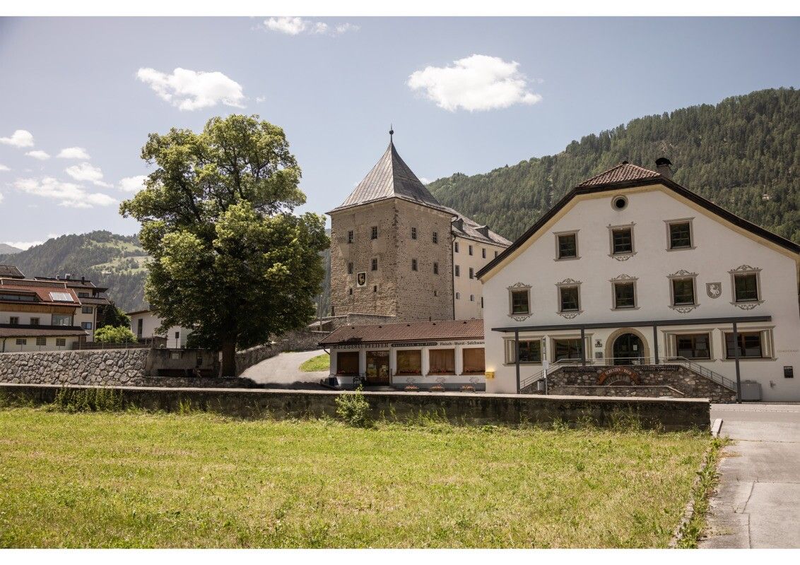
The walk starts in the center of Ried. From there, the route leads via Kalvarienberg toward St. Christina. One follows the Adi Raich Trail, which is ideal for a relaxed walk and runs along the Christiner Bach and through a forest area. Upon reaching St. Christina, the return follows the same route back to Ried.

Getting here

  • Arrival by public transport

    Line 210, 220, Bus stop: Ried i. O. Gemeindeamt, walking distance to the tourist information office: 200 m

  • Parking

    Parking area at the lake, free of charge

More tours in the surrounding area

Newsletter

The mountain is calling? So does our newsletter!

In our monthly newsletter we reveal the best holiday tips for Tyrol.