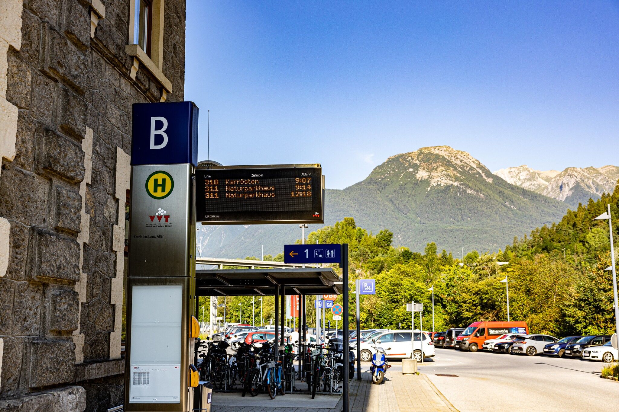
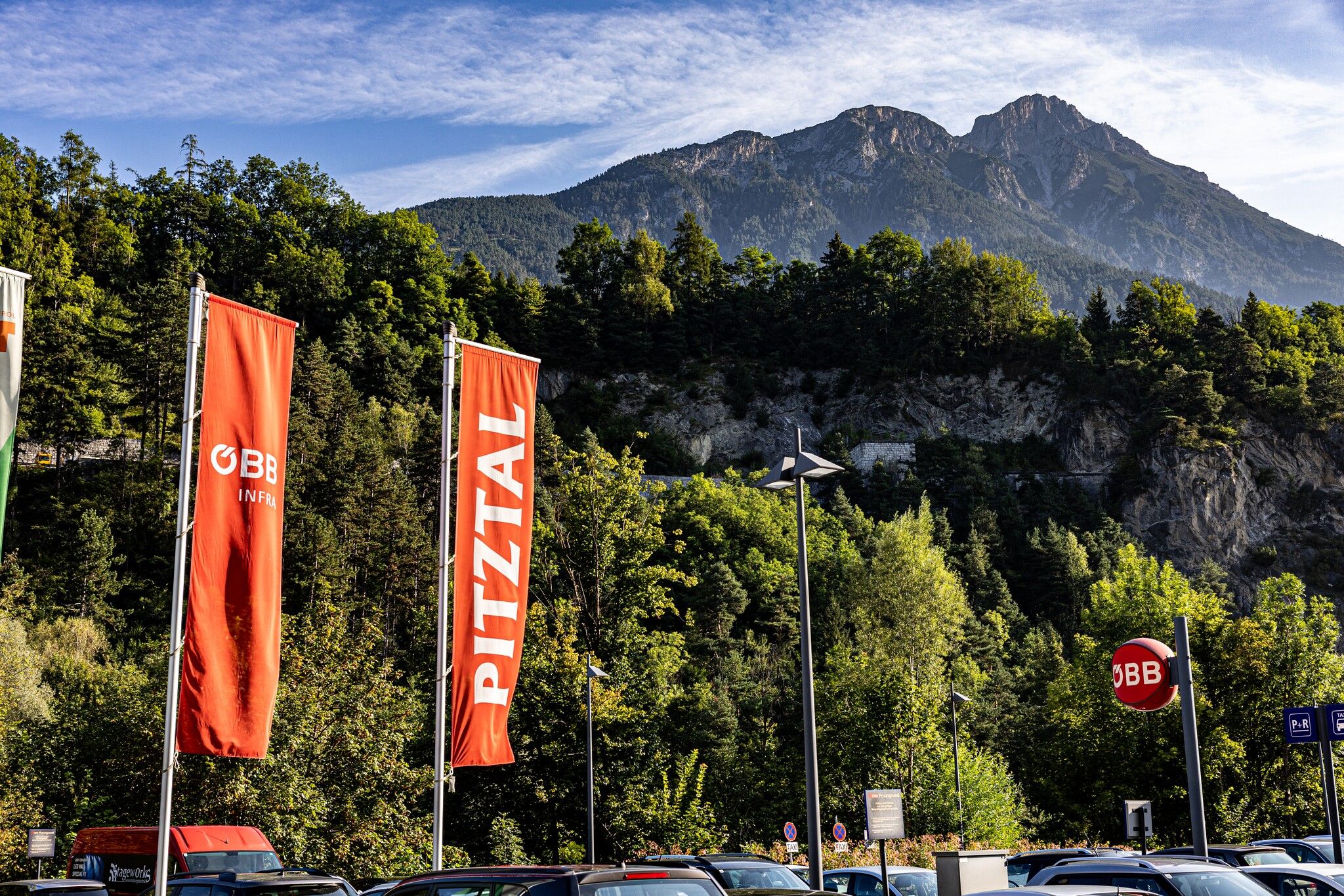
Arzl - Imst/Pitztal train station

Arzl im Pitztal / Ötztal Alps
Difficulty ratings: easy
Route length: 2.0 km
Duration: 0:40 h

Tour information

  • Requirement: easy
  • Length: 2.0 km
  • Duration: 0:40 h
  • Elevation uphill:20 hm
  • Elevation downhill:160 hm
Highest point864 m

Starting point

Tourist information office Arzl

Finishing point

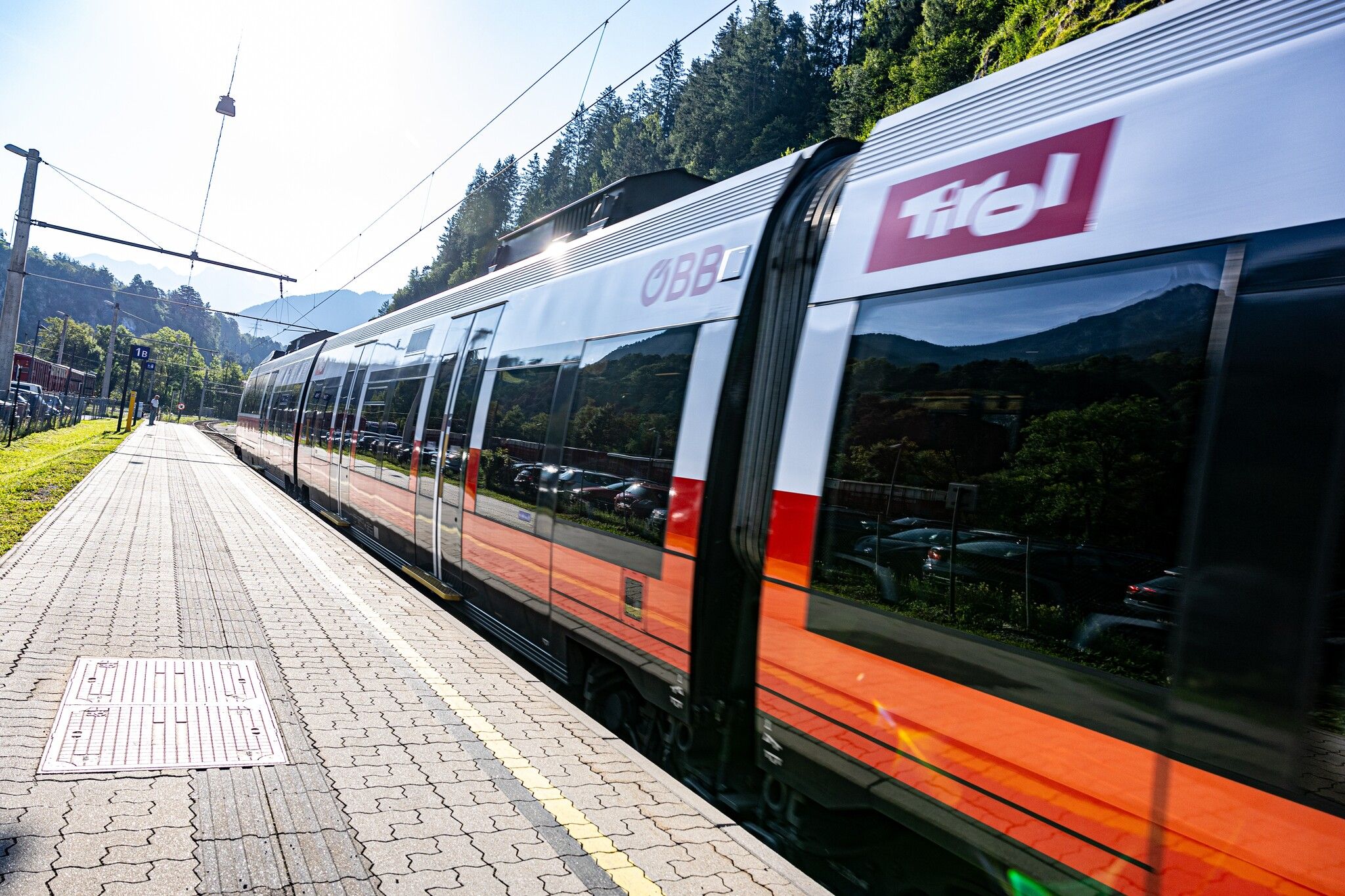
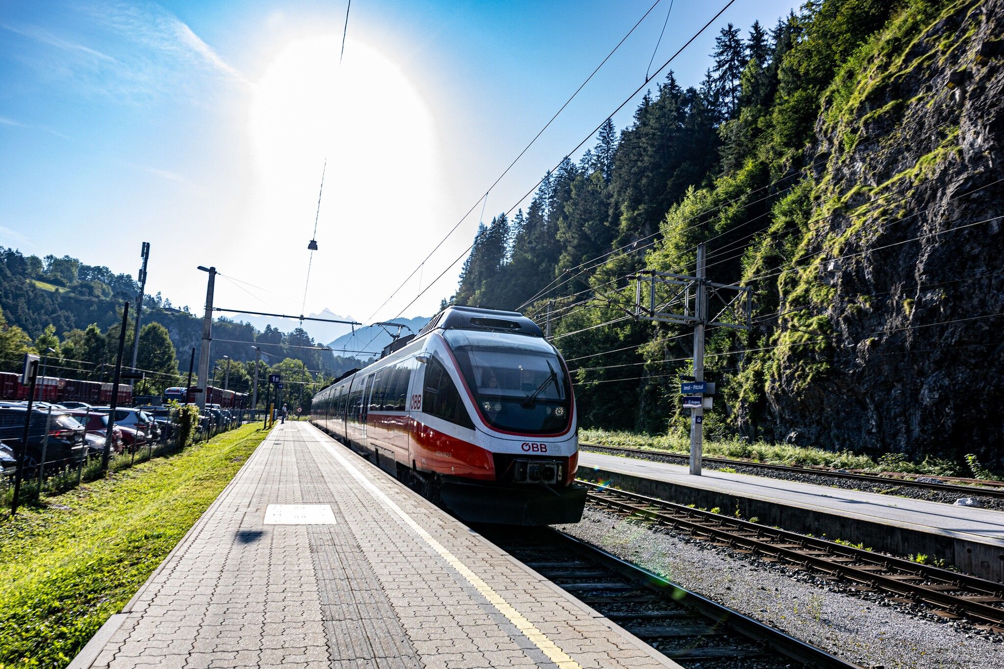
Train station Imst - Pitztal

Best time of year

  • January
  • February
  • March
  • April
  • May
  • June
  • July
  • August
  • September
  • October
  • November
  • December

Trail condition

asphalt, forest path
Source: TVB Pitztal

Description

Walk along the main road from the starting point in the direction of Imst to the “Pitztal Grill” diner. At the end of the car park a path leads in the direction of the industrial estate and after crossing the country road continue to the train station. Return to your starting point by bus. 

Getting here

  • Parking

    Take the bus till the bus stop Arzl Gemeindeamt. For the arrival with the car you can use the car park Steige - about 5 min. from the starting point.
Weather

Today

light rain
12°C/5°C
90%16.2l5 km/h

Fri

partly Cloudy
6°C/-4°C
70%0l5 km/h

Sat

clear sky
7°C/-6°C
0%0l5 km/h
Go to weather forecast

More tours in the surrounding area

Newsletter

The mountain is calling? So does our newsletter!

In our monthly newsletter we reveal the best holiday tips for Tyrol.