Norderbergalm Sommer © Thomas Gruber Norderberg AlmÖffnungszeiten:Heute geöffnetOrt:Wildschönau:Restaurant, Alpine pasture / hut / mountain restaurantZum GastronomiebetriebZum Gastronomiebetrieb: Norderberg Alm
Wildschönau Niederau Markbachjoch Kapelle Winter.jpg © Wildschönau Tourismus Winterwanderung Markbachjoch - NiederauSchwierigkeit:mediumLänge:10.5 kmDauer:4:00 hHöhenmeter bergauf:56 mZur WinterwanderungZur Winterwanderung: Winterwanderung Markbachjoch - Niederau
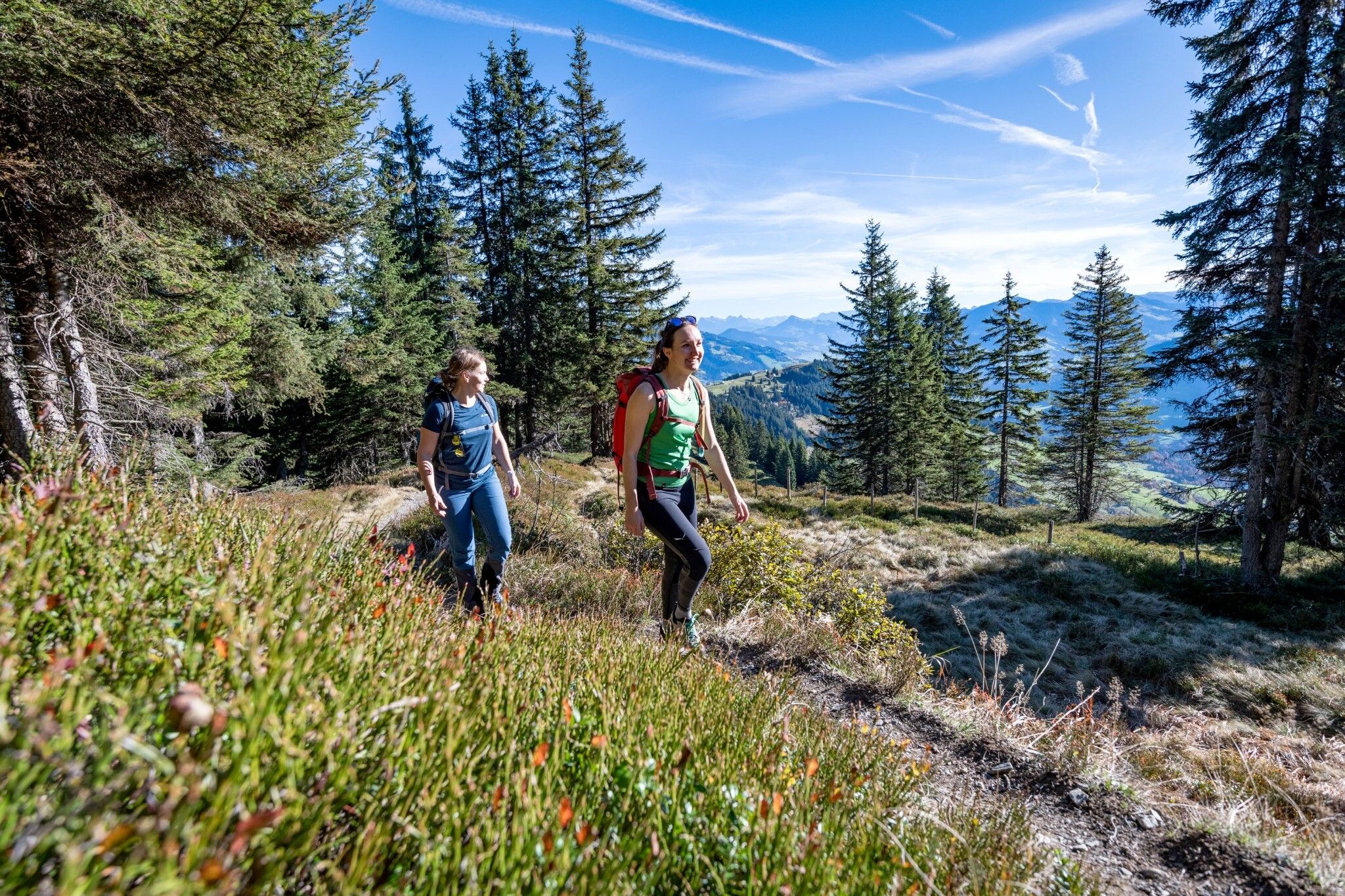
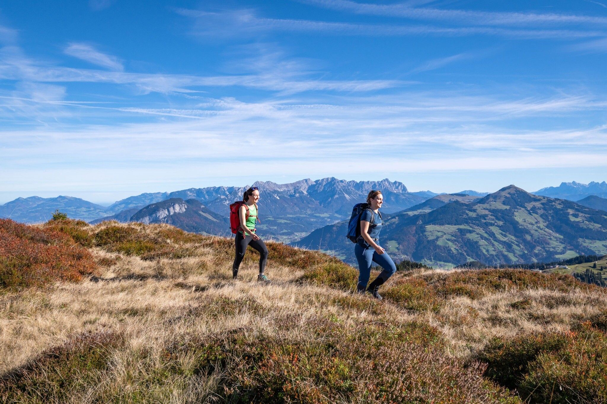
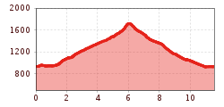
The Wildschönau High TrailSchwierigkeit:mediumLänge:14.8 kmDauer:6:30 hHöhenmeter bergauf:760 mZur WandertourZur Wandertour: The Wildschönau High Trail
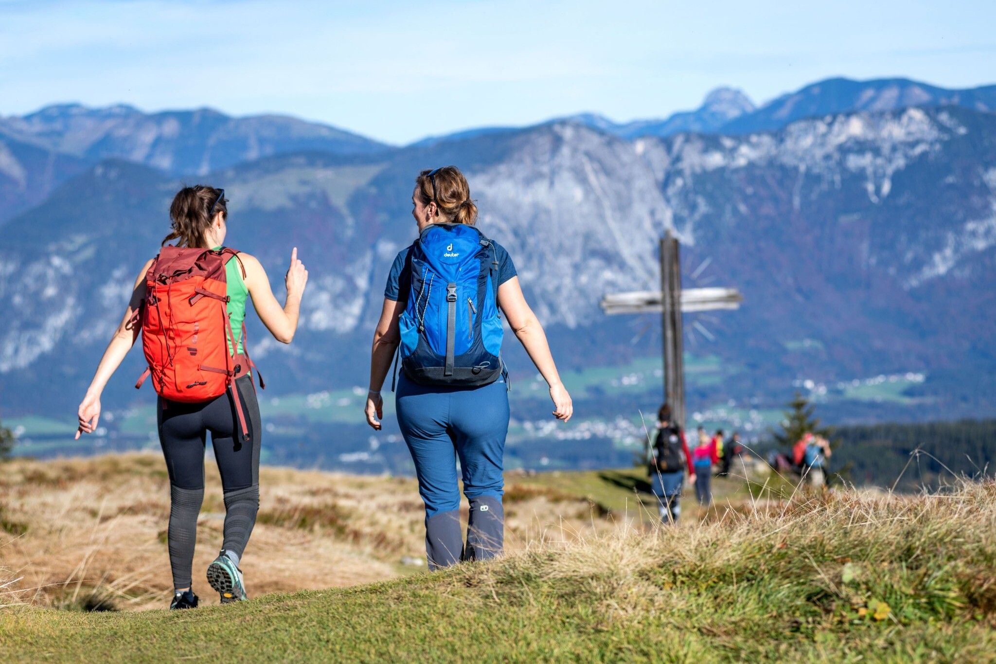
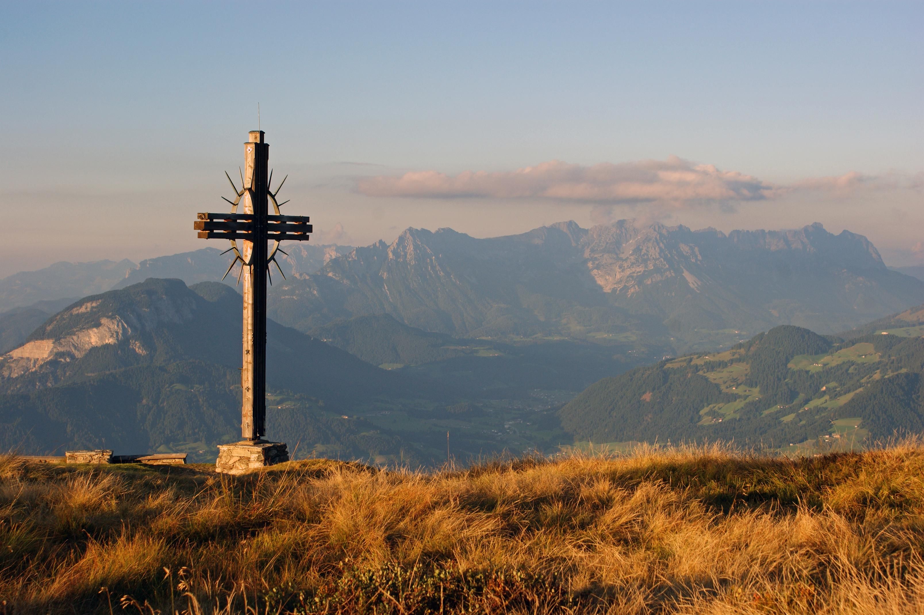
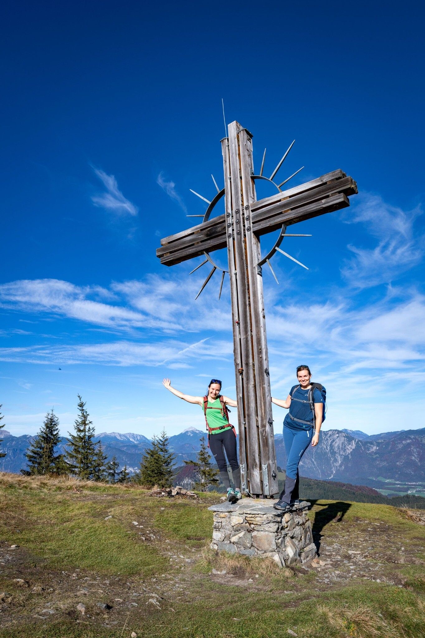
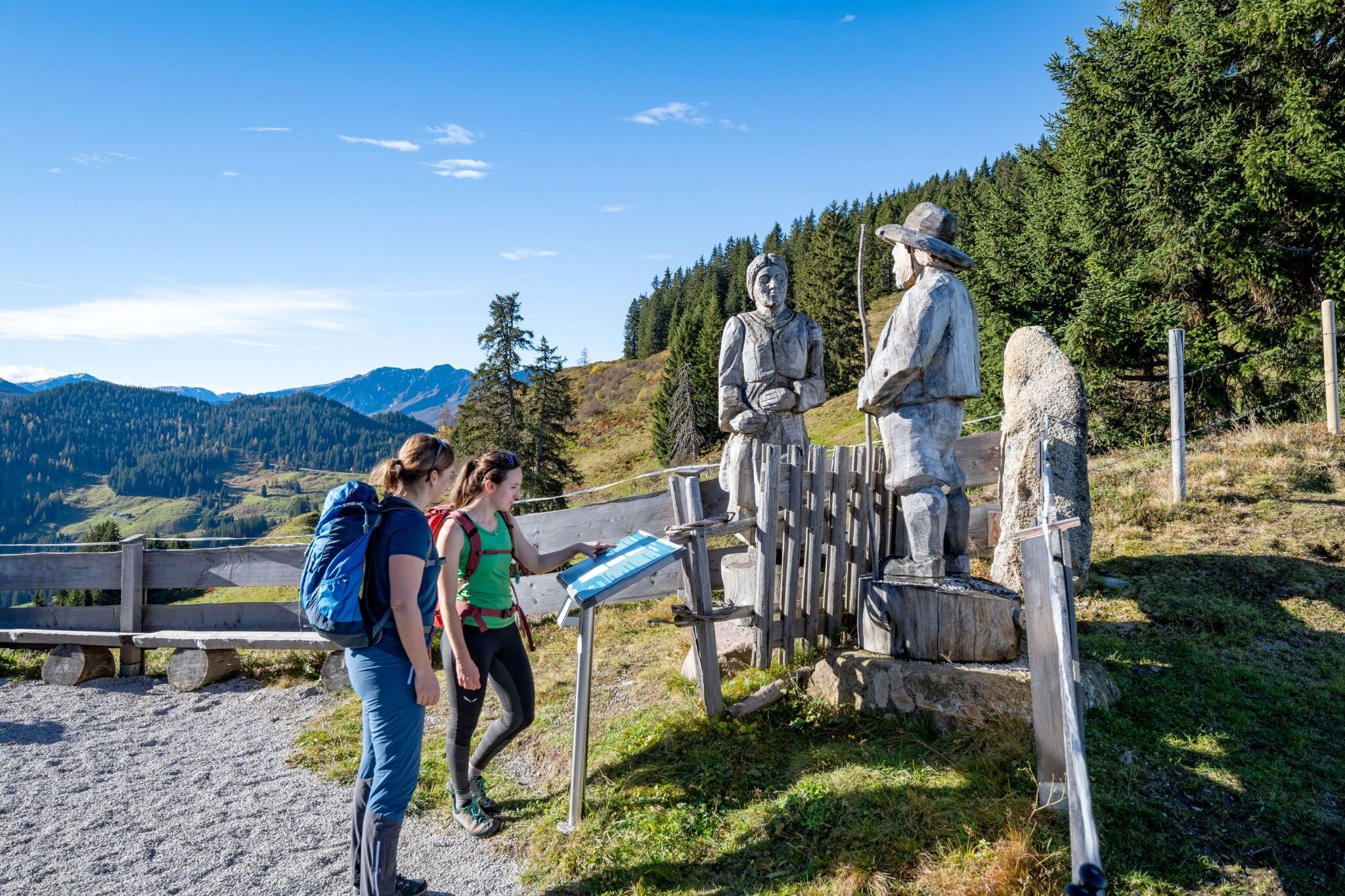
Wildschönau Oberau Achentalalm © Wildschönau Tourismus Oberau - KragenjochkreuzSchwierigkeit:mediumLänge:7.9 kmDauer:3:00 hHöhenmeter bergauf:513 mZur WandertourZur Wandertour: Oberau - Kragenjochkreuz
Wildschönau Auffach Schatzberg Familienwanderung.jpg © Wildschönau Tourismus Johannes Sautner Rechte Skijuwel und Wildschönau Schatzberg and Joel SpitzeSchwierigkeit:mediumLänge:7.3 kmDauer:3:00 hHöhenmeter bergauf:400 mZur WandertourZur Wandertour: Schatzberg and Joel Spitze
Breitegg tourSchwierigkeit:mediumLänge:11.0 kmDauer:5:00 hHöhenmeter bergauf:680 mZur WandertourZur Wandertour: Breitegg tour
Wildschönau Auffach Kapelle Schönanger.jpg © Wildschönau Tourismus Winter walk SchönangerSchwierigkeit:easyLänge:3.6 kmDauer:1:00 hHöhenmeter bergauf:80 mZur WinterwanderungZur Winterwanderung: Winter walk Schönanger
Feedback geben und besondere Urlaubserlebnisse gewinnen!Hier geht's zur UmfrageHier geht's zur Umfrage


.jpg")


.jpg")

