Mountain hikes Bergbahn Pillersee - Kröpflalm - Buchensteinwand

St. Ulrich am Pillersee / Lofer Stone Mountains
Difficulty ratings: medium
Route length: 4.0 km

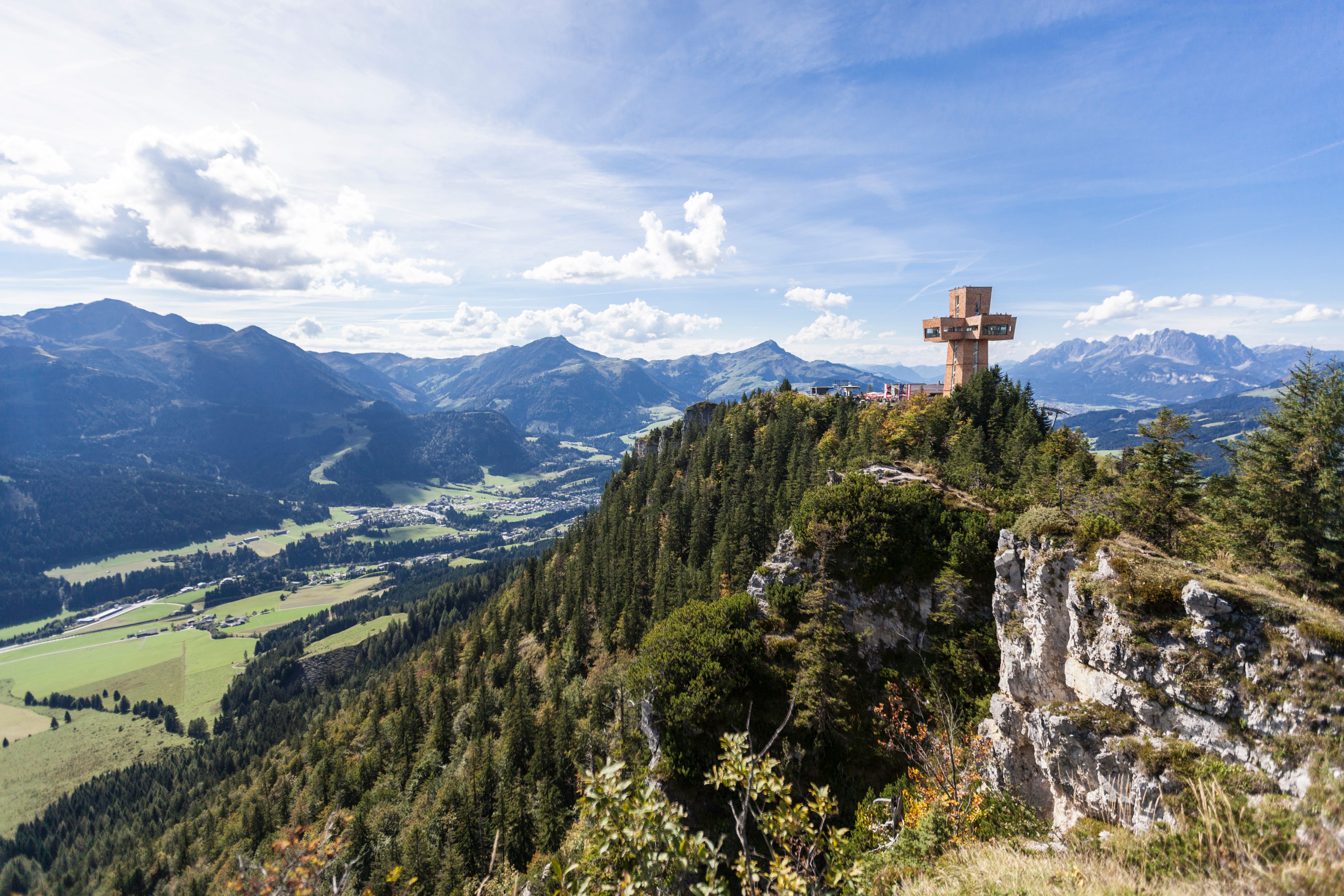
Hiking path no. 2 via the Kröpflalm to the Buchensteinwand and the Jakobskreuz!
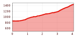
Tour information

  • Requirement: medium
  • Length: 4.0 km
  • Elevation uphill:600 hm
  • Elevation downhill:0 hm
Highest point1,462 m

Starting point

Talstation Bergbahn Pillersee

Finishing point

Buchensteinwand

Trail condition

Forststraße, Wiesenweg, Steig
Source: Kitzbüheler Alpen Management GmbH

Description

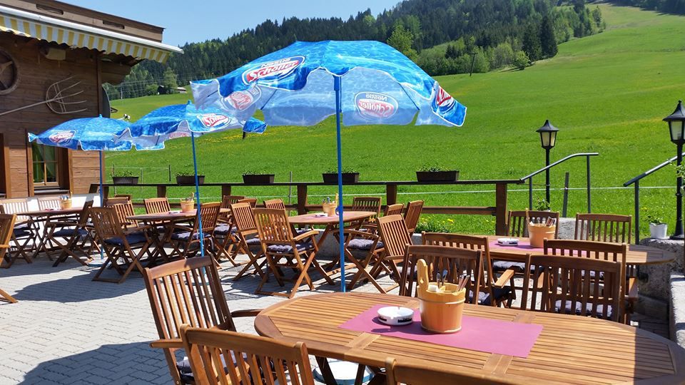
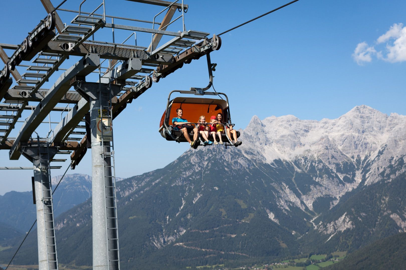
From the parking of the chairlift "Bergbahn Pillersee / Buchensteinwand" you walk westward, pass the Hotel Kitzspitz and take the second way left towards the alpine hut "Kröpflstüberl". Follow the forest road and than take the walking path on the left via the Kröpflalm to the top of Buchensteinwand (steep ascent under the charilift).

Weather

Today

light rain showers
24°C/11°C
90%28.9l10 km/h

Thu

cloudy
18°C/10°C
65%0.5l5 km/h

Fri

light rain showers
17°C/9°C
60%2.7l5 km/h
Go to weather forecast

More tours in the surrounding area

  • Koasa Trail Stage 3

    Difficulty:medium
    Length:19.9 kmDuration:7:10 hElevation uphill:730 m
  • Koasa Trail Stage 5

    Difficulty:medium
    Length:14.0 kmDuration:6:45 hElevation uphill:935 m
  • Kaiserkrone - stage 5

    Difficulty:medium
    Length:10.8 kmDuration:5:15 hElevation uphill:840 m
  • Kaiserkrone - stage 4

    Difficulty:medium
    Length:16.1 kmDuration:6:30 hElevation uphill:640 m
  • Koasa Trail Stage 1

    Difficulty:medium
    Length:16.9 kmDuration:6:45 hElevation uphill:937 m
  • Koasa Trail Stage 4

    Difficulty:medium
    Length:20.6 kmDuration:7:35 hElevation uphill:923 m
  • The Wiegalm

    Difficulty:medium
    Length:10.5 kmDuration:4:45 hElevation uphill:680 m
  • Angerer Alm

    Difficulty:medium
    Length:5.7 kmDuration:2:45 hElevation uphill:652 m
  • Koasa Trail Stage 2

    Difficulty:medium
    Length:11.8 kmDuration:7:15 hElevation uphill:1,078 m
  • Alpine Outdoor Gallery

    Difficulty:easy
    Length:6.7 kmDuration:2:00 hElevation uphill:117 m
  • Eifersbacher Wasserfall

    Difficulty:medium
    Length:5.9 kmDuration:2:30 hElevation uphill:241 m
  • Schafsiedel

    Difficulty:medium
    Length:15.6 kmDuration:7:00 hElevation uphill:1,280 m
  • Bichlachrunde

    Difficulty:easy
    Length:10.5 kmDuration:3:30 hElevation uphill:295 m
Newsletter

The mountain is calling? So does our newsletter!

In our monthly newsletter we reveal the best holiday tips for Tyrol.