Mountain hikes Bruchsteig

Pfunds / Ötztal Alps
Difficulty ratings: difficult
Route length: 9.6 km
Duration: 5:09 h

From Radurschlalm to the Hohenzollerhaus – a challenging trail for experienced hikers.

Tour information

  • Requirement: difficult
  • Length: 9.6 km
  • Duration: 5:09 h
  • Elevation uphill:744 hm
  • Elevation downhill:740 hm
Highest point2,310 m

Starting point

Radurschlalm | Pfunds

Finishing point

Radurschlalm | Pfunds
  • Fitness level 3 / 6
  • Technique 4 / 6

Features

  • Circular route

Best time of year

  • January
  • February
  • March
  • April
  • May
  • June
  • July
  • August
  • September
  • October
  • November
  • December

Trail condition

Trail

Equipment

We recommend equipment suitable for the tour and weather conditions, including sturdy shoes, weatherproof clothing, food, and appropriate maps.
Source: TVB Tiroler Oberland

Description

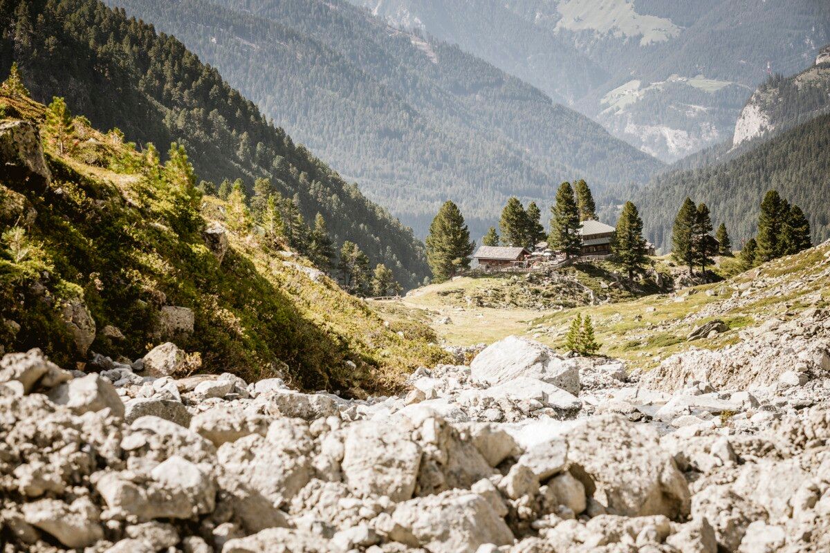
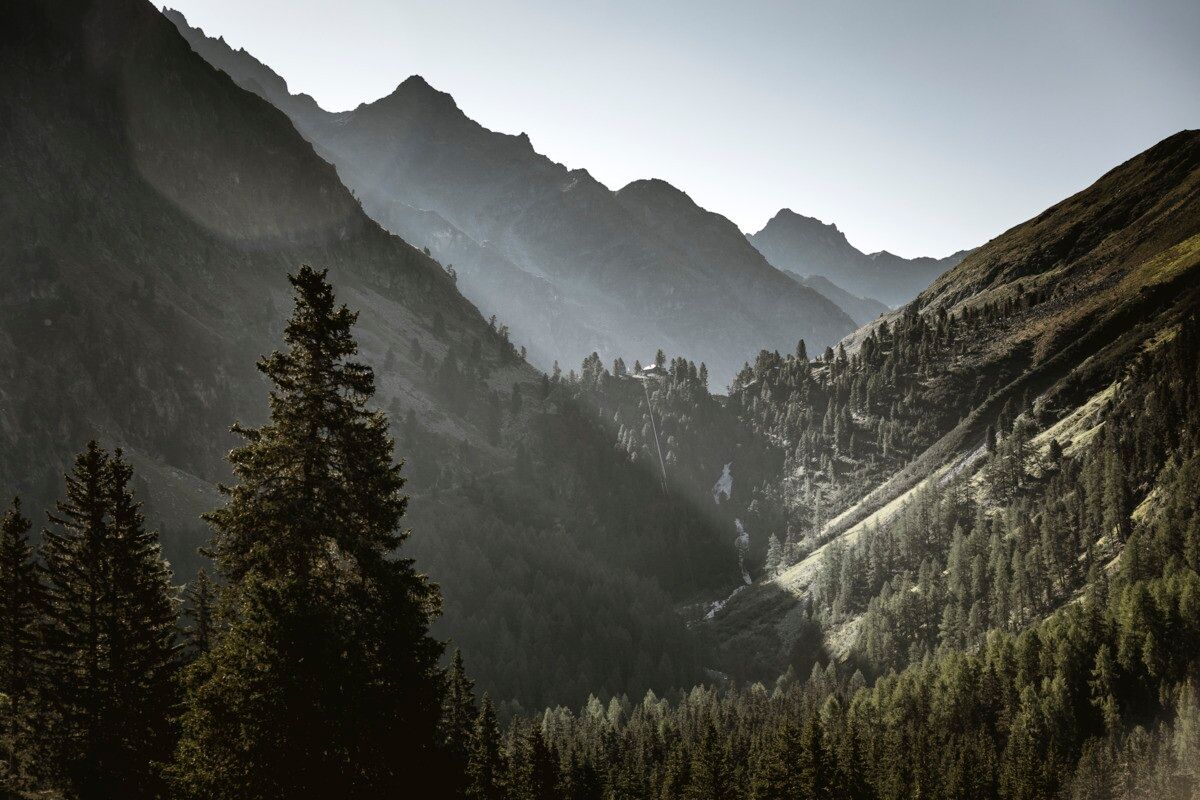
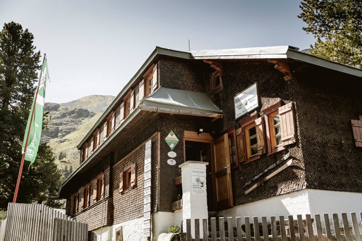
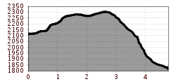
The panoramic high-altitude trail is unique and leads through the Kaisertal to the Hohenzollerhaus. The descent follows the same marked path to Radurschlalm and is suitable only for experienced hikers. It’s best to check directly at the Hohenzollerhaus for the current condition of the trail.

Getting here

  • Arrival by public transport

    Tip: there is a hiking shuttle to the Radurschl every Tuesday

  • Parking

    Parking area Wildmoos, paid parking

More tours in the surrounding area

Newsletter

The mountain is calling? So does our newsletter!

In our monthly newsletter we reveal the best holiday tips for Tyrol.