
Opening hours:Open today
Place:Sölden
:Alpine pasture / hut / mountain restaurant
Ascent with the GiggijochbahnHike: Giggijochbahn mountain station - Sölden Grieskogel - Maria's Alm - Sölden
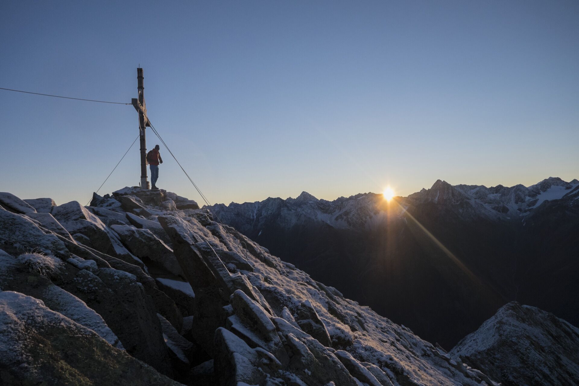
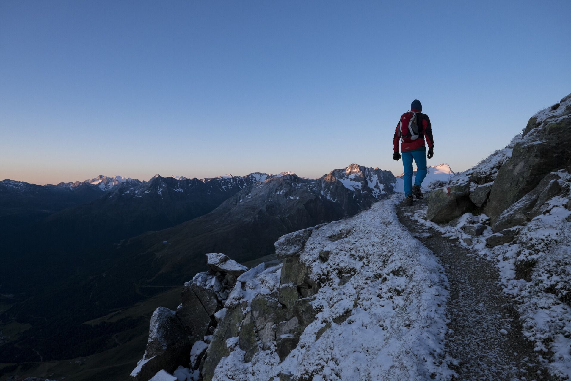
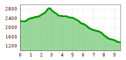
Ascent Giggijochbahn (2,284 m) - right path via Hamrachötze - Poll Valley - Sölden Grieskogel (2,911 m) - back via Grieskarle - Leiterötze - Maria's Alm (1,885 m) - Sölden
Travel comfortably and safely by train to the Ötztal train station. The final stop or drop-off point is the ÖTZTAL station. Afterwards, you can easily and quickly travel by public bus or local taxi services throughout the entire valley to your desired destination. The current bus schedule is available at: http://fahrplan.vvt.at
The following parking options are available in Sölden:
Parking spaces in Sölden are subject to a fee.
For parking over several days (e.g., hut tour):


.jpg")


.jpg")


.jpg")


