Circular route Alois Gabl trail

St. Leonhard im Pitztal / Ötztal Alps
Difficulty ratings: easy
Route length: 4.5 km
Duration: 1:30 h

Tour information

  • Requirement: easy
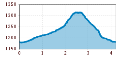
  • Length: 4.5 km
  • Duration: 1:30 h
  • Elevation uphill:270 hm
  • Elevation downhill:270 hm
Highest point1,329 m

Starting point

Wiese

Finishing point

Wiese

Features

  • Circular route
  • Suitable for families

Best time of year

  • January
  • February
  • March
  • April
  • May
  • June
  • July
  • August
  • September
  • October
  • November
  • December

Trail condition

Kitzgartenschlucht [gorge], track, forest path,
Source: TVB Pitztal

Description

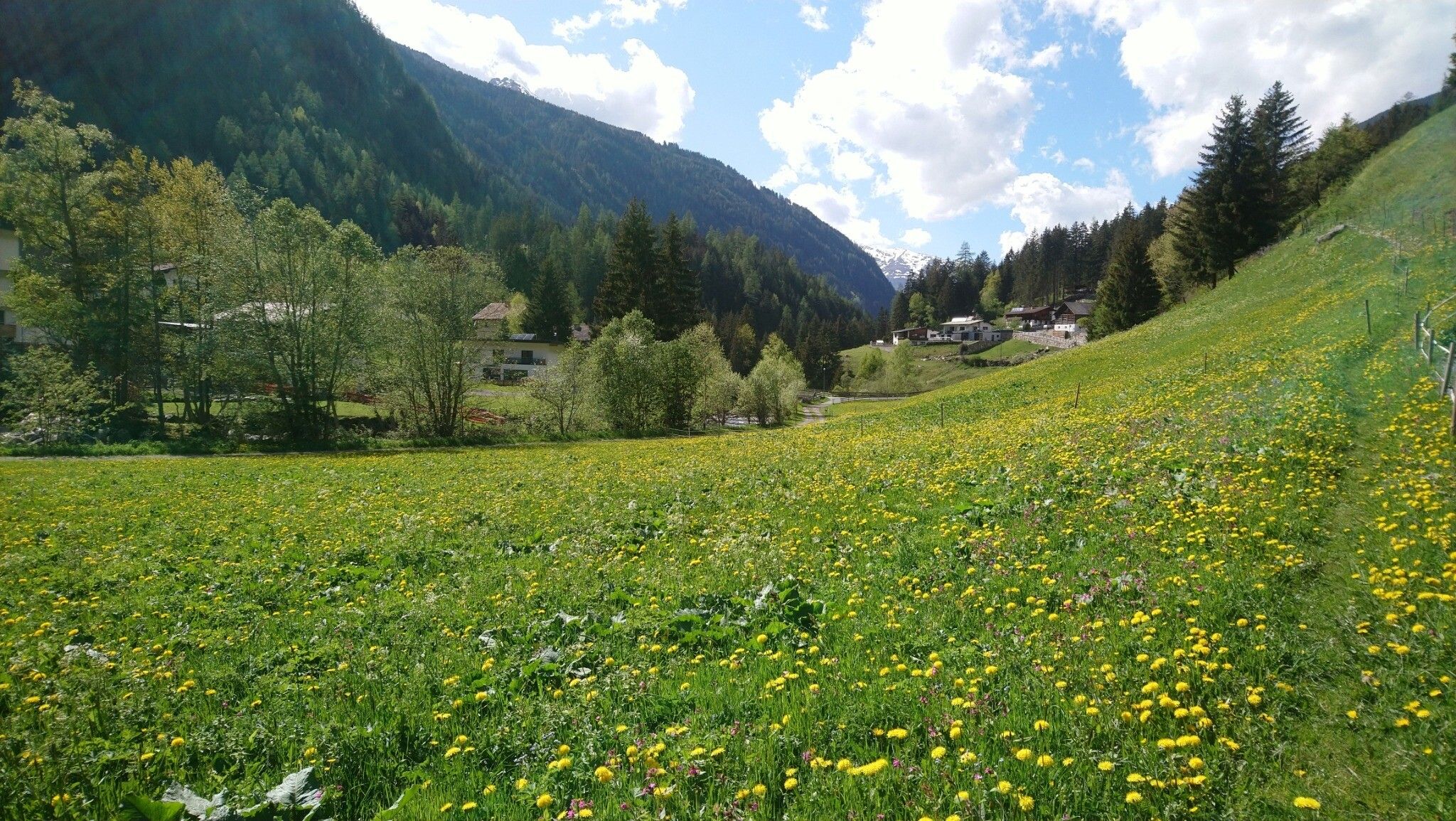
Starting point: car park beyond the Hotel Wiese, facing the upper valley to your left. From the starting point walk through a beautiful gorge (Kitzgartenschlucht) to Zaunhof. At the bridge, continue on the agricultural road along the Pitze river to the hamlet Pfurmühl. From there, walk to Zaunhof and the church. Above the church, a 
pleasant forest path with fantastic views of the upper Pitztal valley takes you back to Schußlehn and the starting point after Wiese.

If you are still feeling fit, it is well worth continuing on a moderately steep path to admire the waterfall [Söllbergwasserfall]. Walking time: approx. 30 minutes.

Nearby huts and mountain restaurants

Getting here

  • Parking

    Take the bus till the bus stop Zaunhof Wiese.

Weather

Today

clear sky
9°C/-4°C
40%0l5 km/h

Sun

light snowfall
2°C/-5°C
55%1.7l5 km/h

Mon

mainly clear
4°C/-5°C
5%0l5 km/h
Go to weather forecast

More tours in the surrounding area

Newsletter

The mountain is calling? So does our newsletter!

In our monthly newsletter we reveal the best holiday tips for Tyrol.