

Difficulty:medium
Length:7.2 kmDuration:5:00 hElevation uphill:580 m
Swiss-Trac Tour:
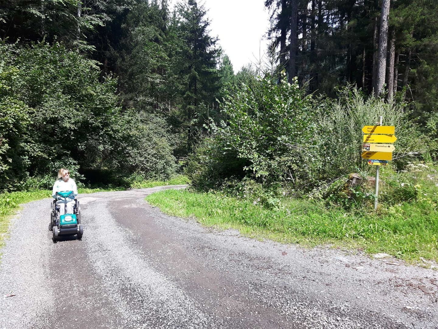
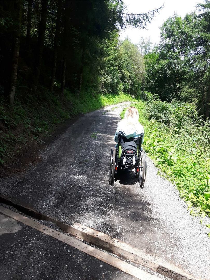
Please note that we recommend starting this circular route from Wenns in the direction of St Margarethen, as the forest path is very steep the opposite way around and in wet conditions assistance is required even when using the Swiss-Trac.
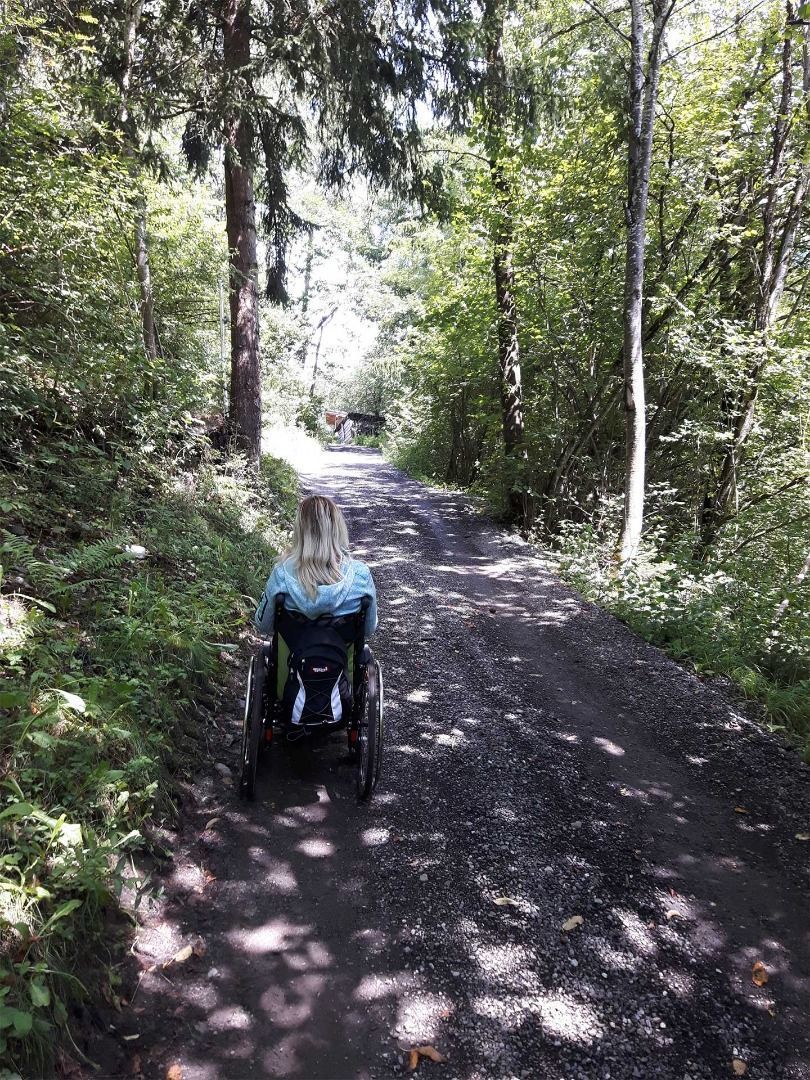
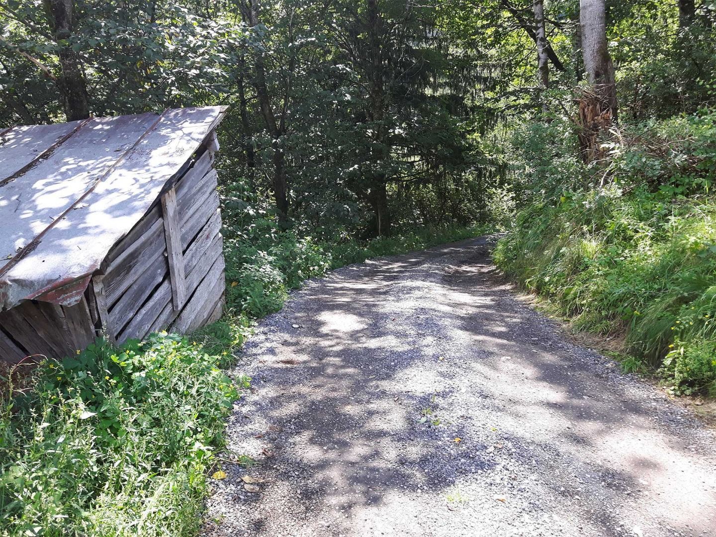
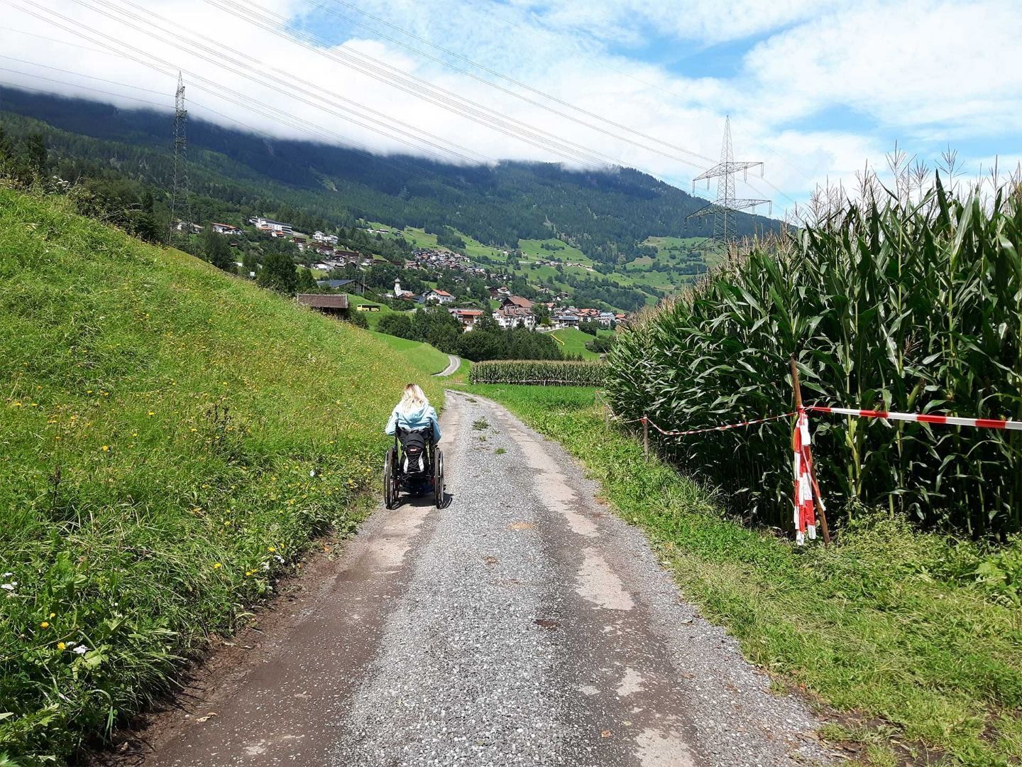
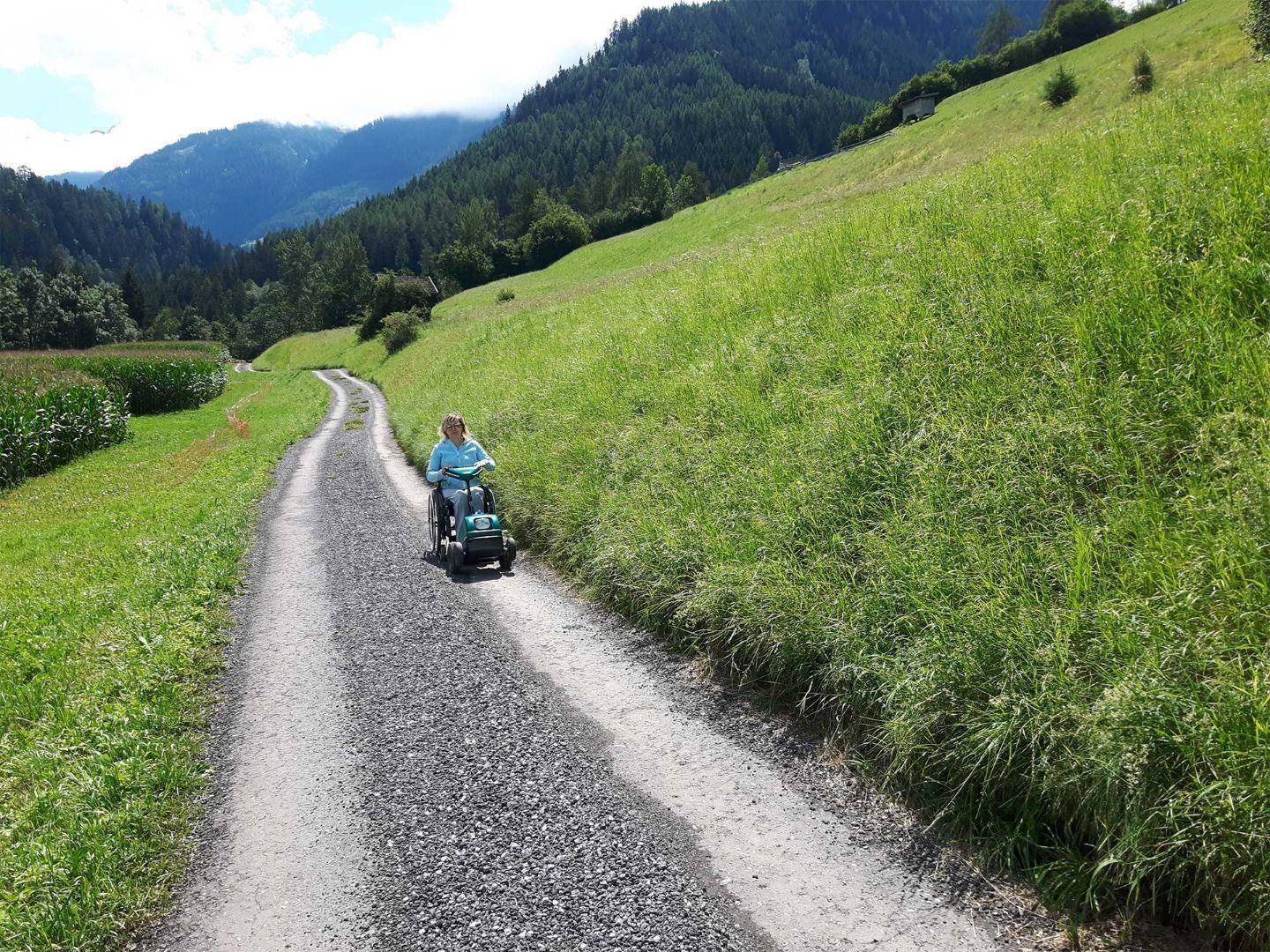
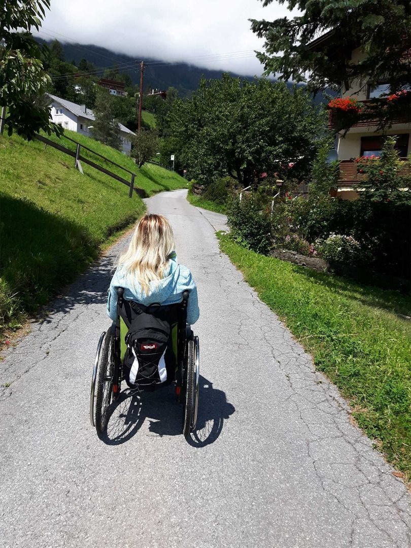
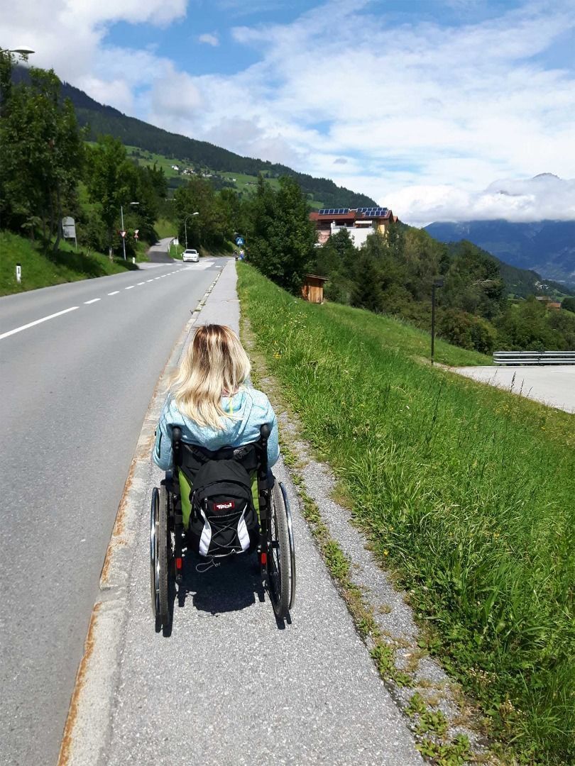
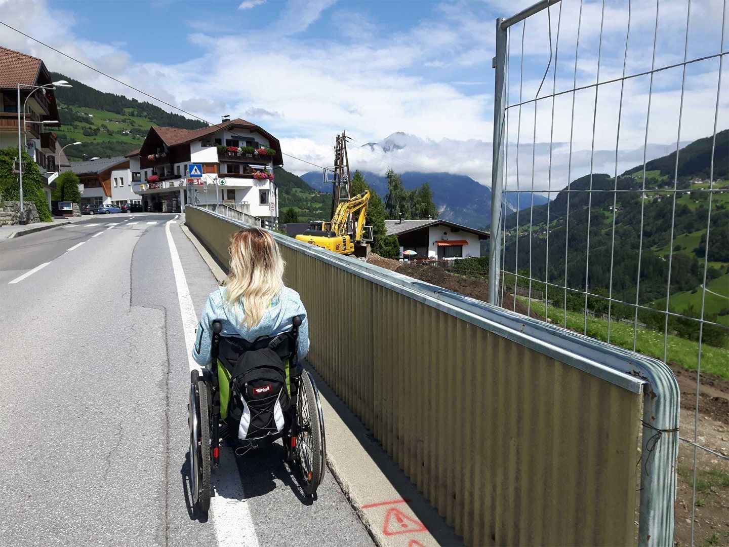
The route starts in Wenns following the pavement along the main road until reaching St Margarethen. After passing the M-Preis supermarket leave the main road and turn left into a side street. After ca. 500 metres the street enters a forest path. Depending on weather conditions, the surface of the path can be slippery, and especially the first section of the route is steep. Now follow an easily manageable downhill path through a forest for 1.5 km. There is a bridge after the woodland. Keep left and follow the tarmac road back to the centre of Wenns.


