

Opening hours:closed
Place:Arzl im Pitztal
:Alpine pasture / hut / mountain restaurant
Circular route Waldeck – Leiner Alm
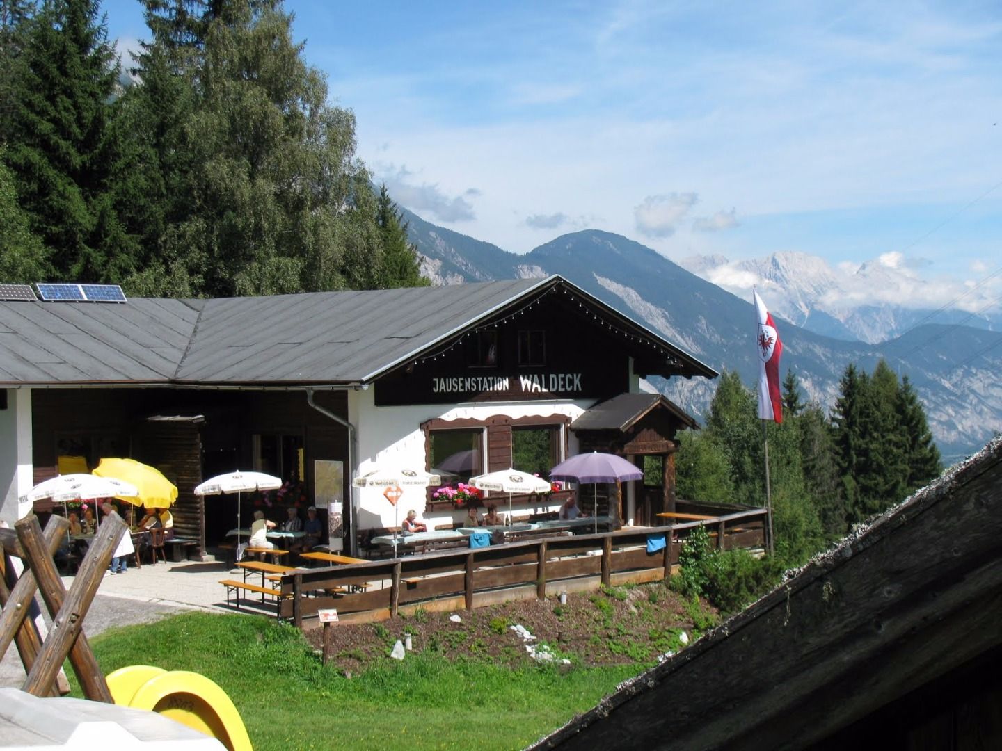
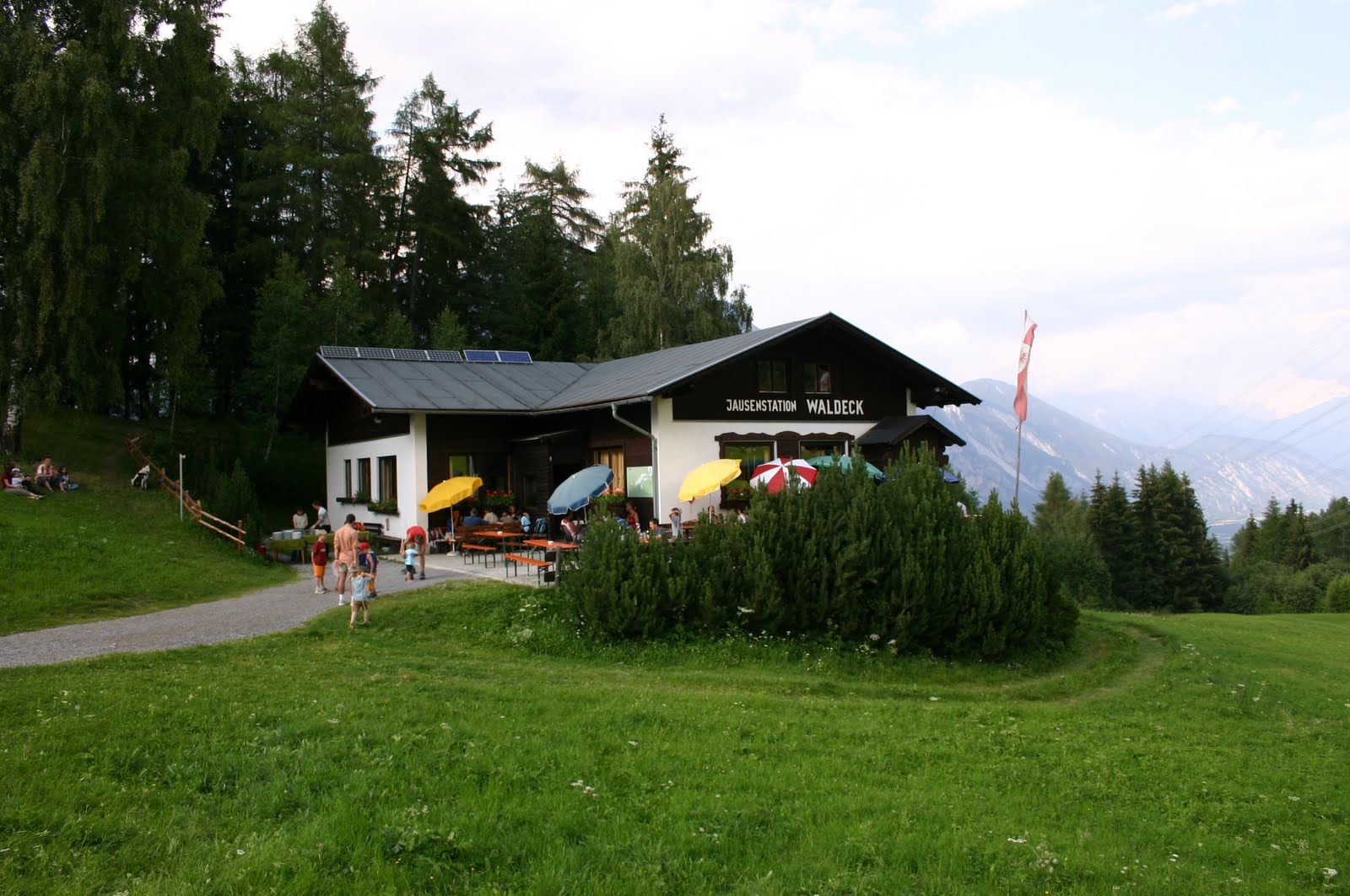
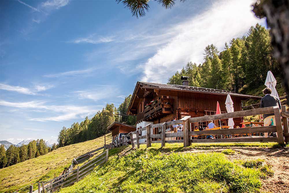
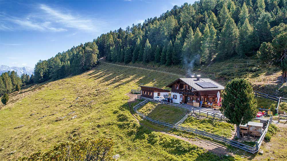

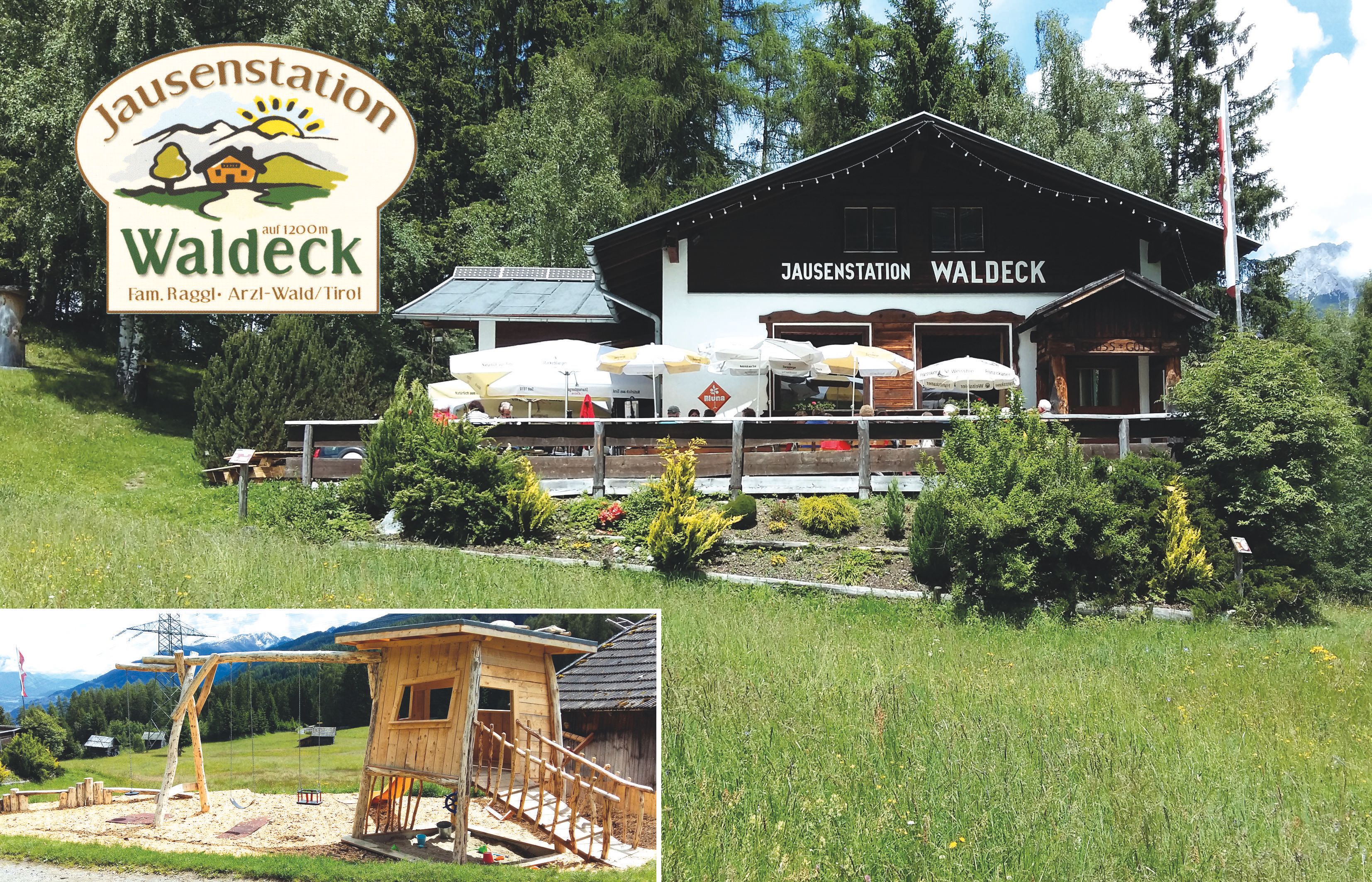
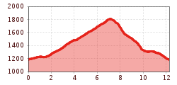
Starting point: Jausenstation Waldeck. Follow a flat and even forest path to the hamlet of Krabichl. Continue left on a steadily ascending forest path to the catered mountain hut Leiner Alm. When you reach the Alm, follow the signpost ‘Steilweg Wald‘ until you reach the forest boundary. From there, follow a steep trail through mountain
pastures until you reach another forest path. Follow the signpost ‘Wald - Hilterboden - Kapelle‘ [chapel]. A few meters after the chapel the path forks off to the right to the Galtwiese lift and a little further turn left into a forest path to return to the start. Alternatively: Follow the wild animal adventure trail. This nature trail is a circular trail
which takes approx. 20 minutes, on which you can investigate wild animal tracks.


