
Opening hours:Open today
Place:
Alpbach
:
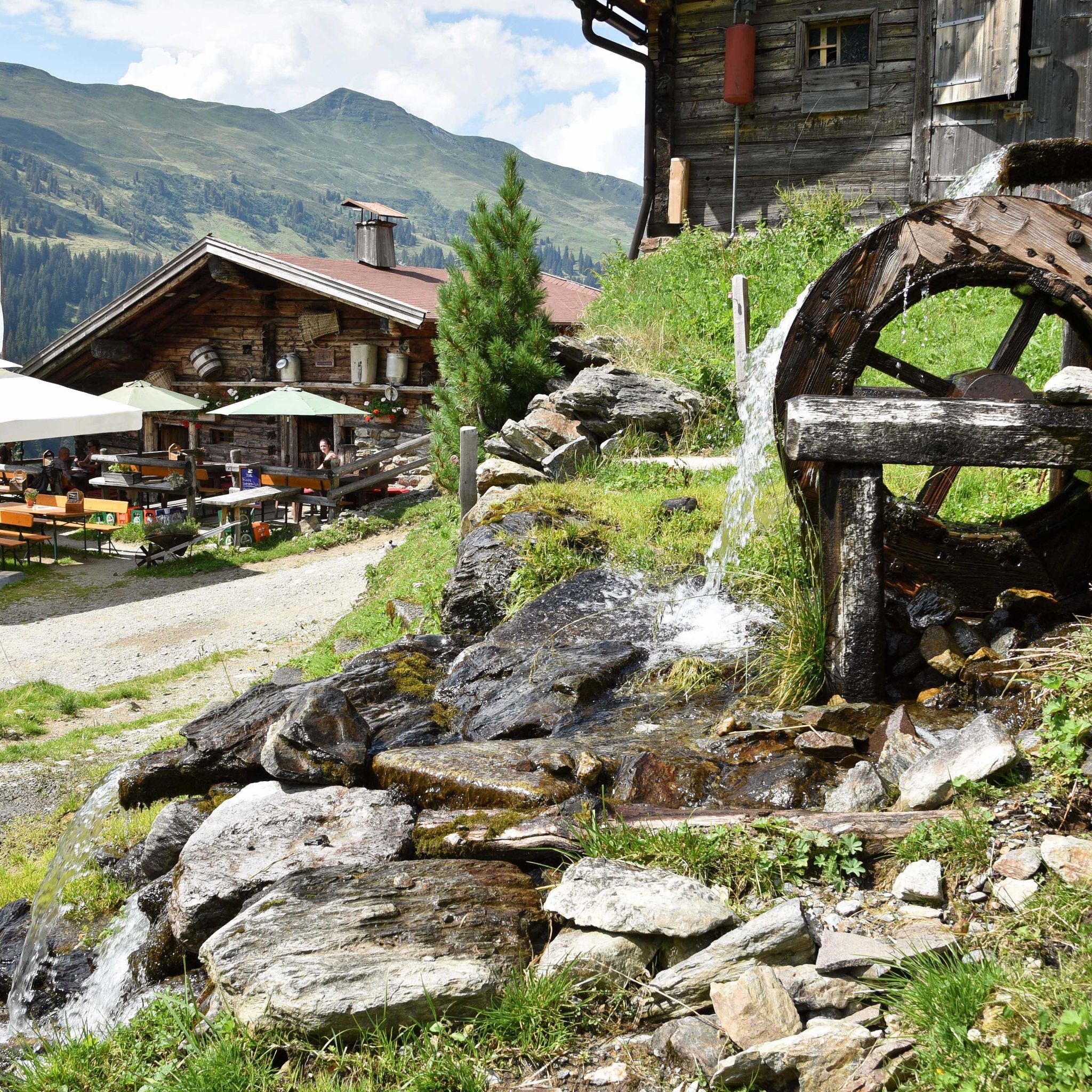
Alpine pasture / hut / mountain restaurant
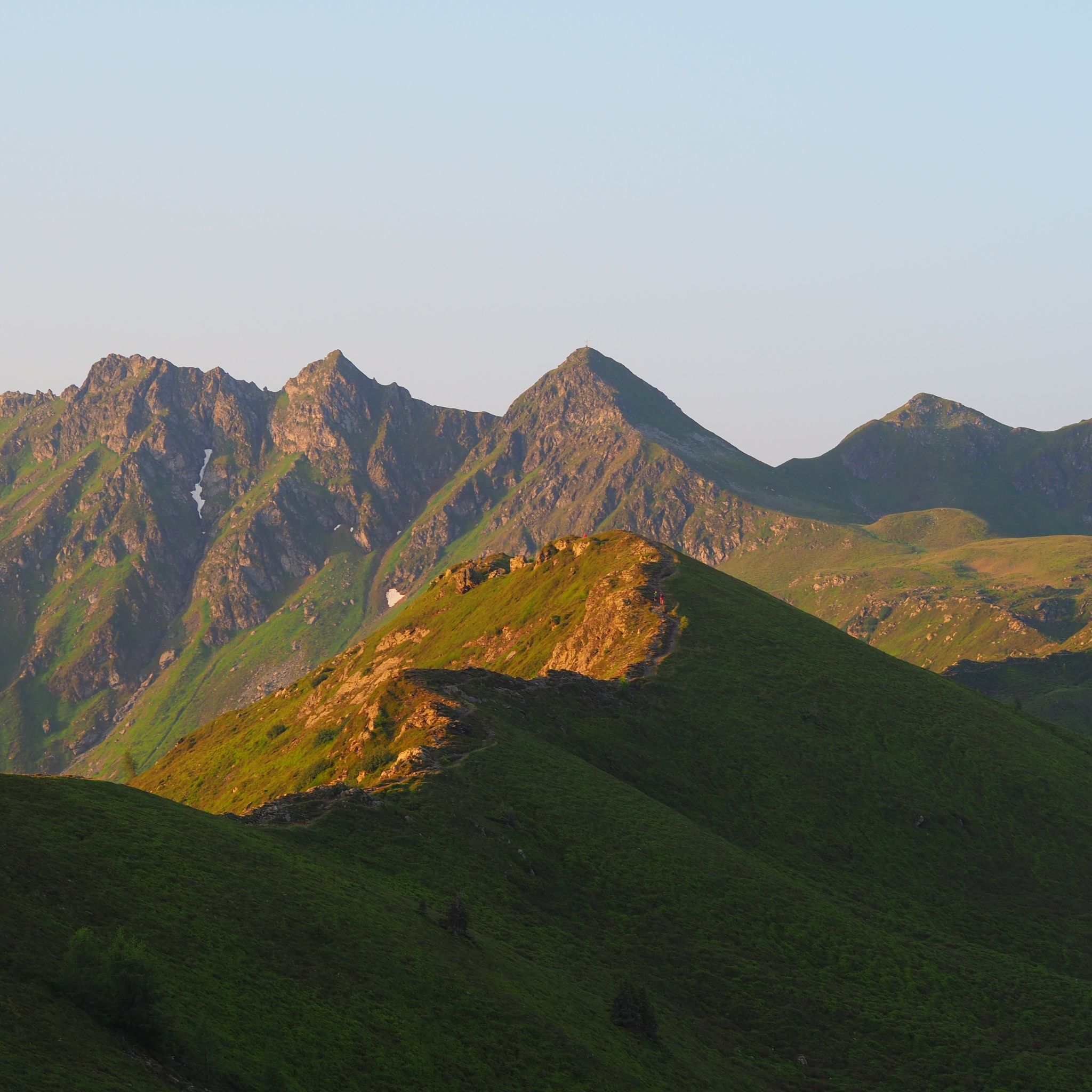
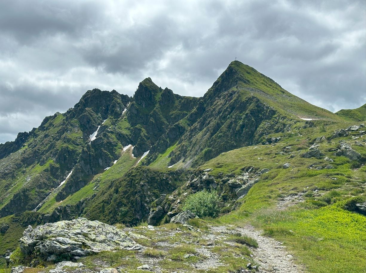
Challenging tour along the formidable Sagtaler Spitzen
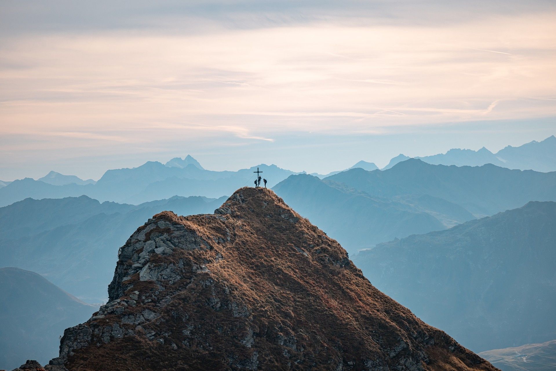

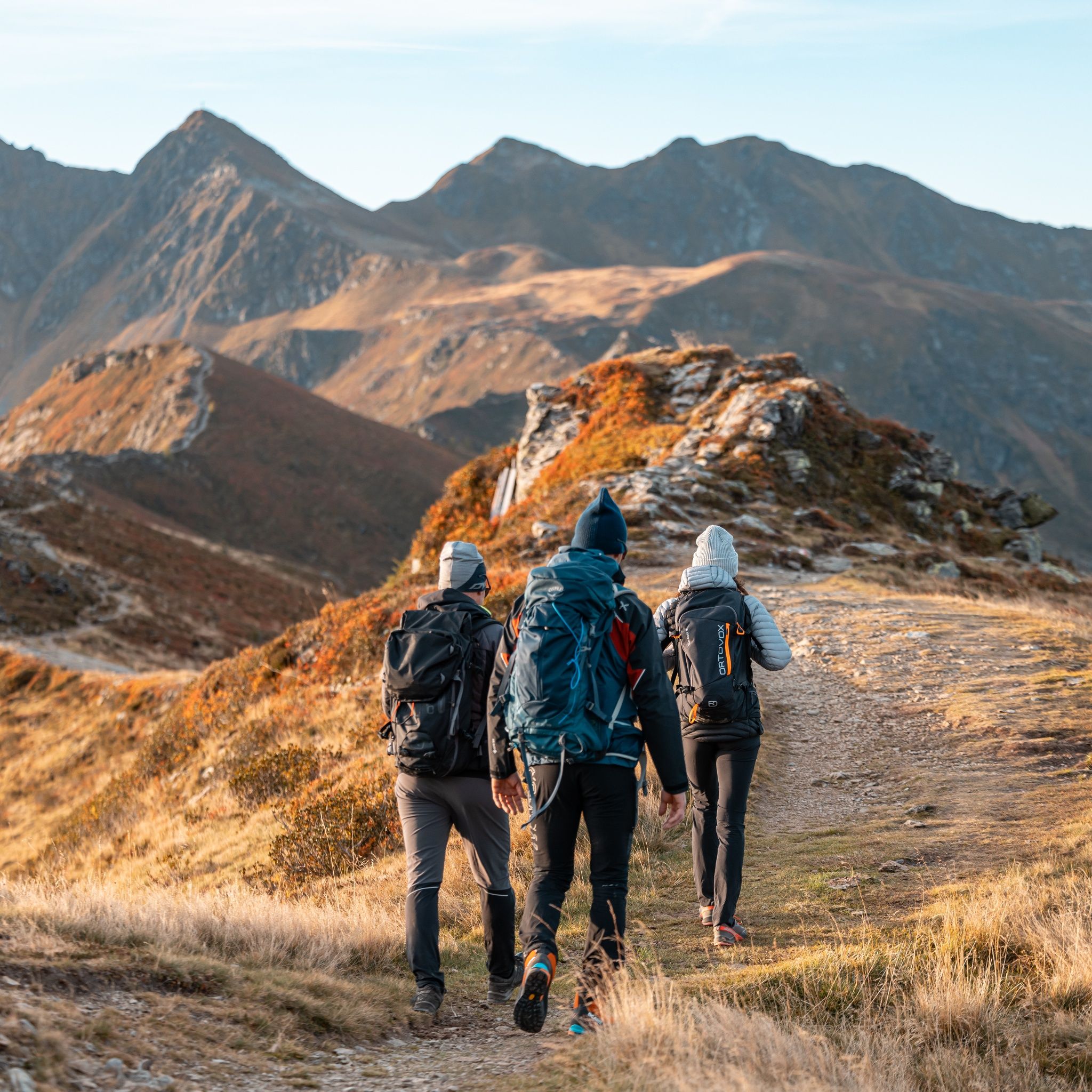
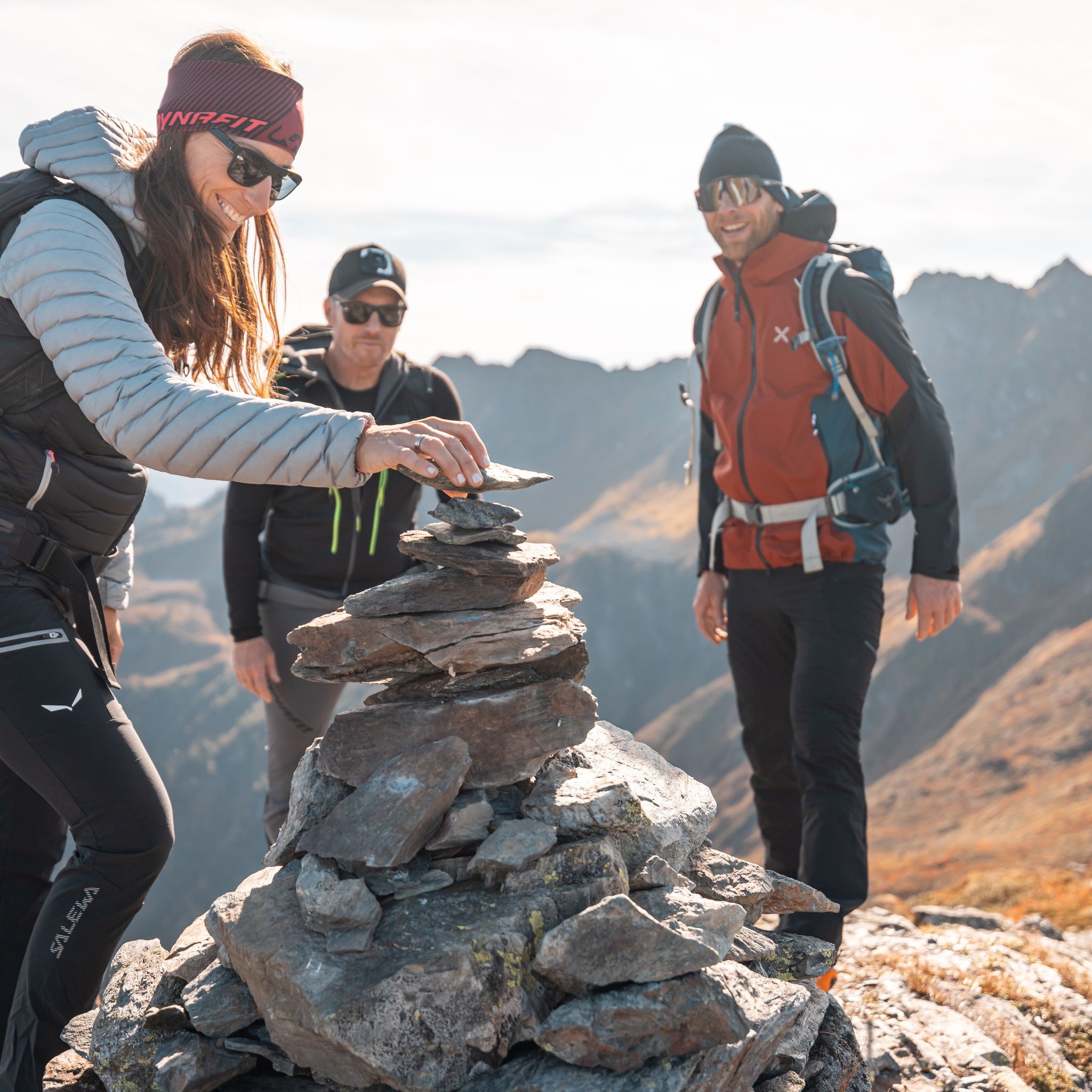
The trail between the Standkopf and Gamskopf/Krinnjoch is challenging and requires a head for heights and sure-footednesss.
There are several exposed and rope-secured passages!
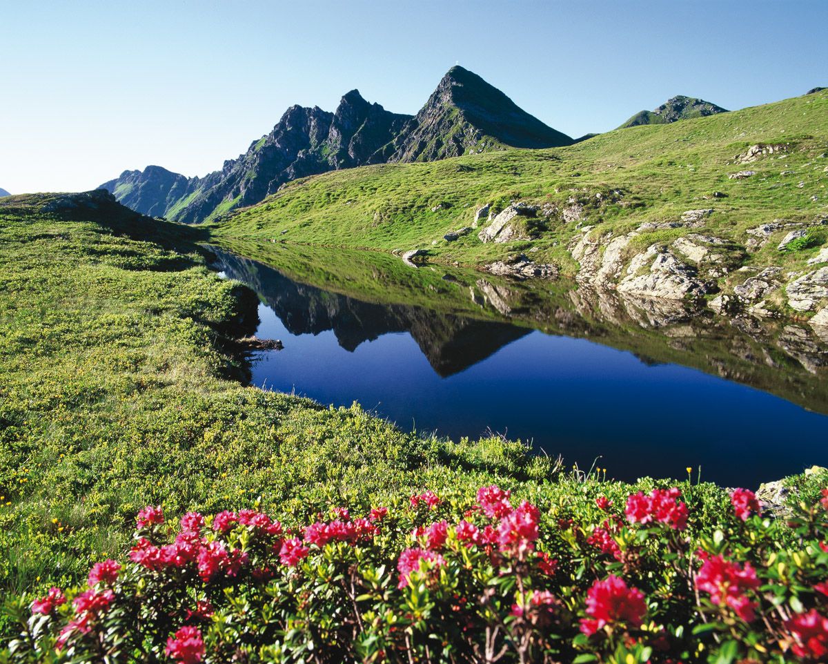
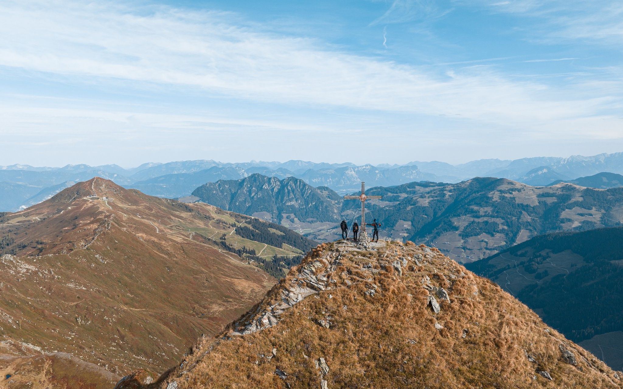
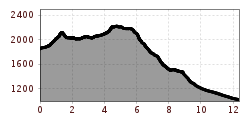
Sturdy shoes and suitable clothing, water, something to eat, muesli bar, sun cream...Take the Wiedersbergerhornbahn to the top station and follow the signs for the Wiedersbergerhorn peak at 2.127 m (300 m elevation gain). The views towards the Rofan Range and the Achensee, the Karwendel Range, the Stubai and Ziller Valley Alps and to the Kitzbüheler Alps with the mighty Galtenberg are most rewarding!
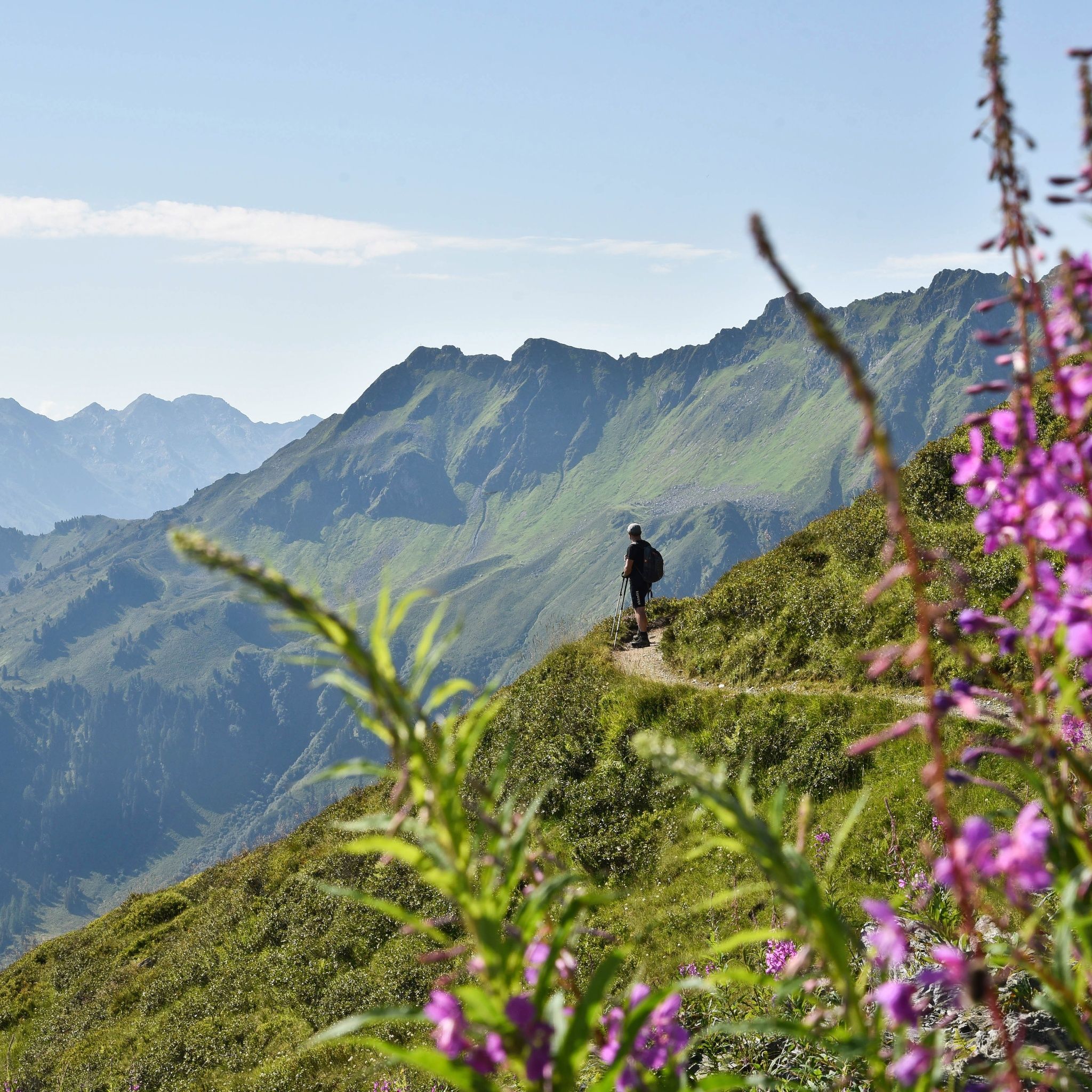
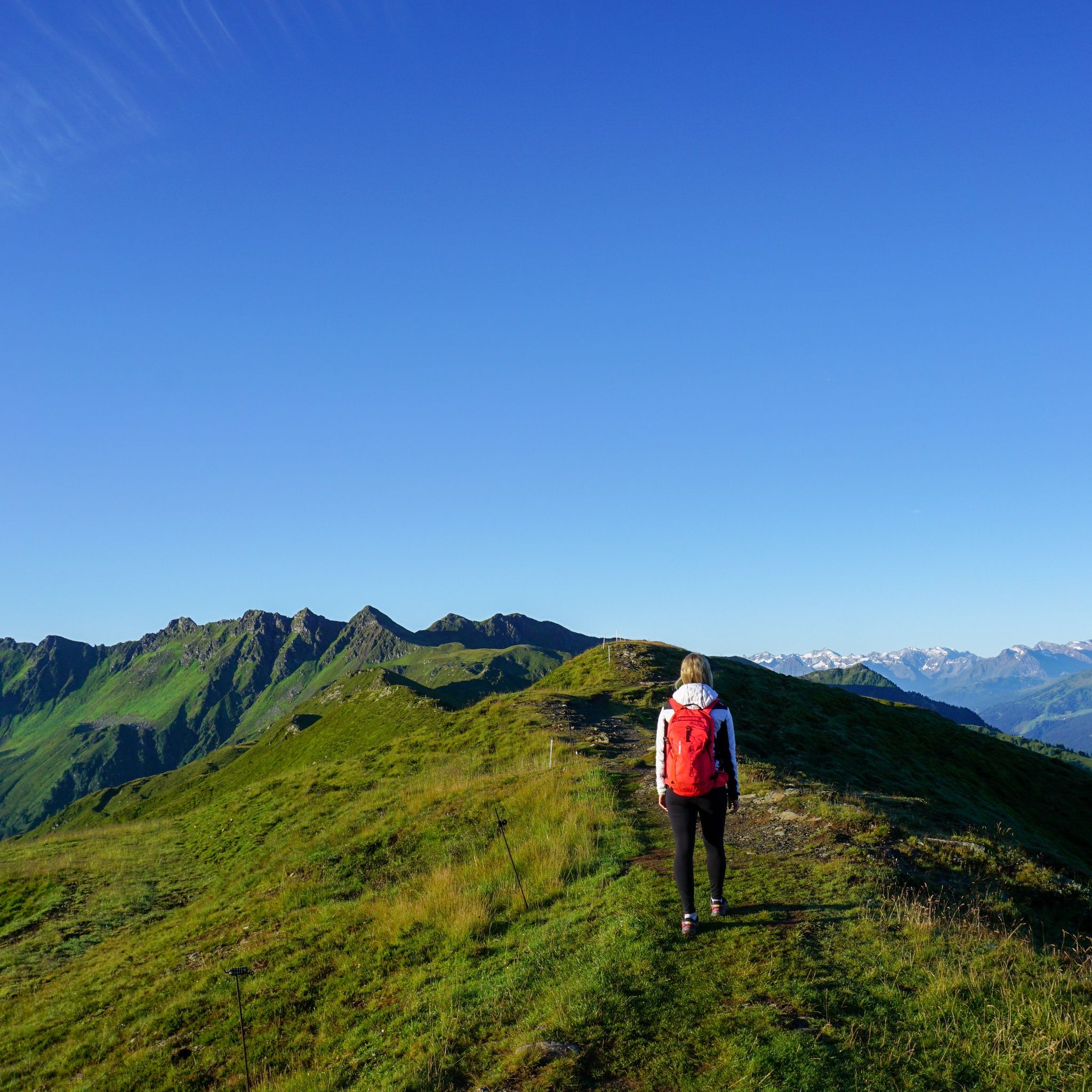
Follow the trail down to the Hornalm and walk along the ridge to the Standkopf. A shorter route to reach the beginning of the ridge, saving a few metres elevation leads from the top station via the panorama path A 40 (southern approach).
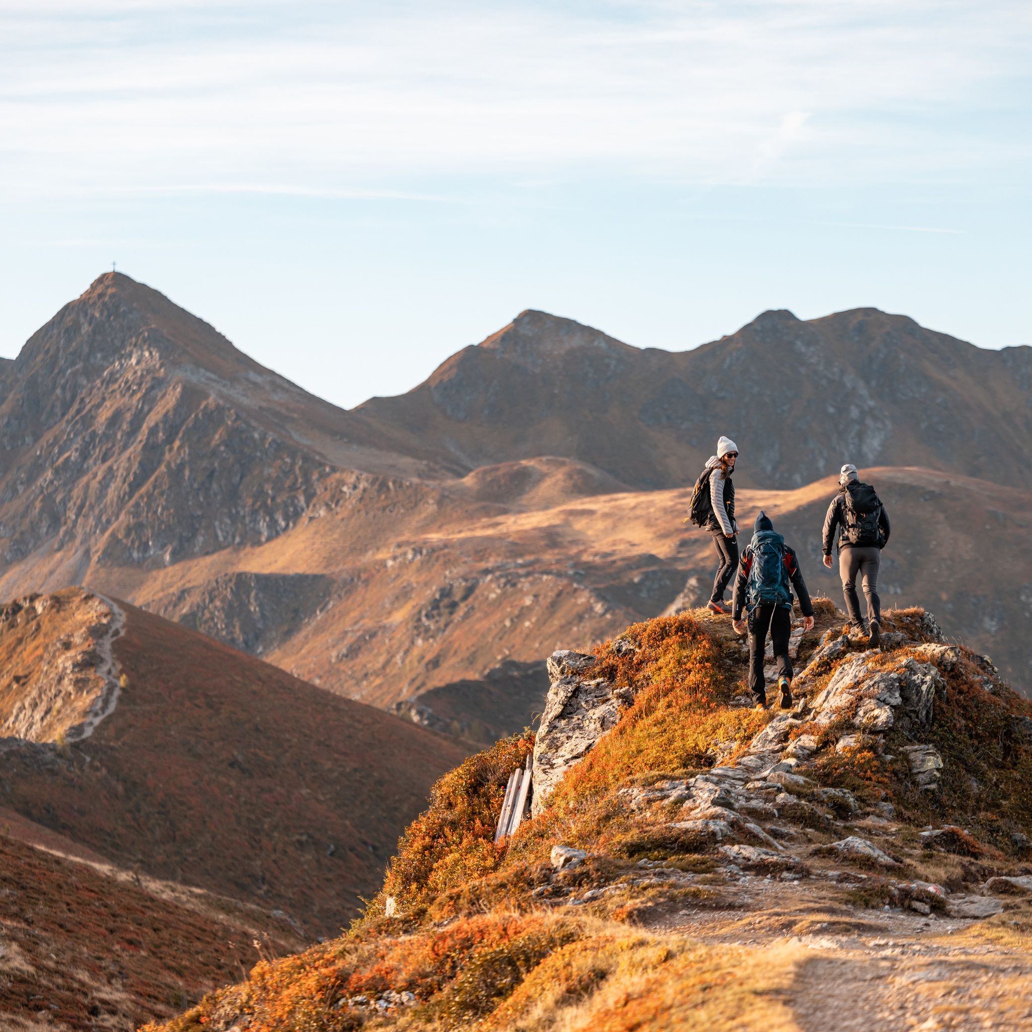
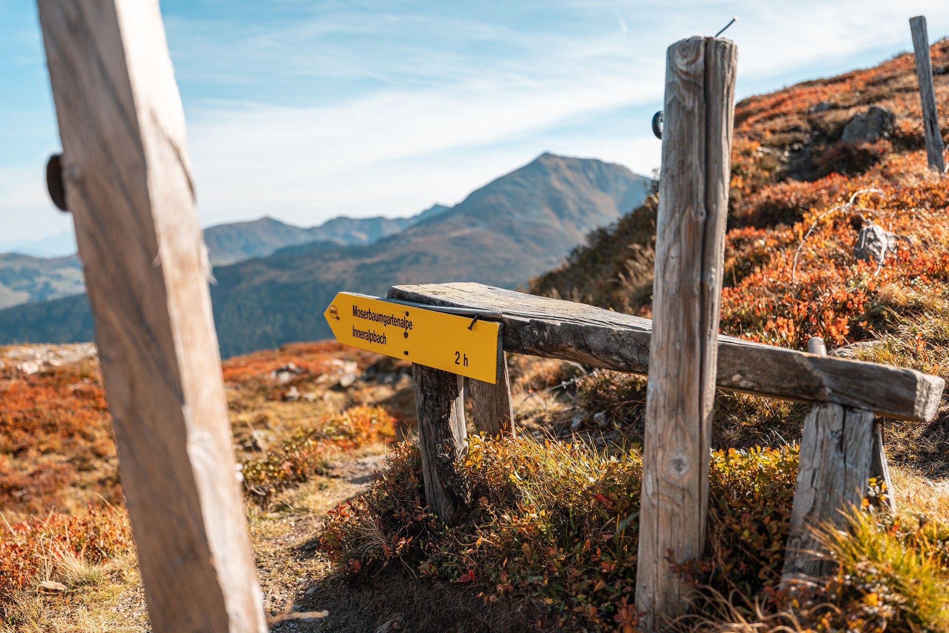
After approx. 2 h walking time either follow the signs for the Moserbaumgartenalm and on to Inneralpbach or continue along the ridge. The first peak is the Standkopf at 2.239 m (2 h 30 min from the top station).
Please note! From this point on the trail is only suitable for experienced hikers. Sure-footedness and a head for heights is prerequisite!
The downhill trail is exposed and rope-secured! Continue along the rope-secured trail to the Tapenkopf at 2.244 m and along the ridge with several more rope-secured sections to the foot of the Gamskopf at 2.205 m. The Gamskopf is the last Sagtaler peak. Walking time from the Standkopf to the Sagtaler is an additional 1 h 30 min.
From the Krinnjoch folloow the sidns for "Inneralpbach, Farmkehralm" (1 h walking time).
Treat yourself to a well earned break at the Farmkehralm. Follow the "Jagdsteig" leading to Inneralpbach (approx. 1 h 30 min) and take the bus back to the Wiedersbergerhornbahn car park.
bus no. 620
Wiedersbergerhornbahn car park
Parking fees for Alpbachtal Card holders: only cash accepted (or pay at the ticket counter) - summer only:
3 hours: € 3,00 / whole day: € 5,00


")


