

Place:St. Leonhard im Pitztal
:Alpine pasture / hut / mountain restaurant
Up to almost 3,000 metres above sea level: crossing the Ötztal Alps from the Pitztal via the Rettenbachjoch into the Ötztal
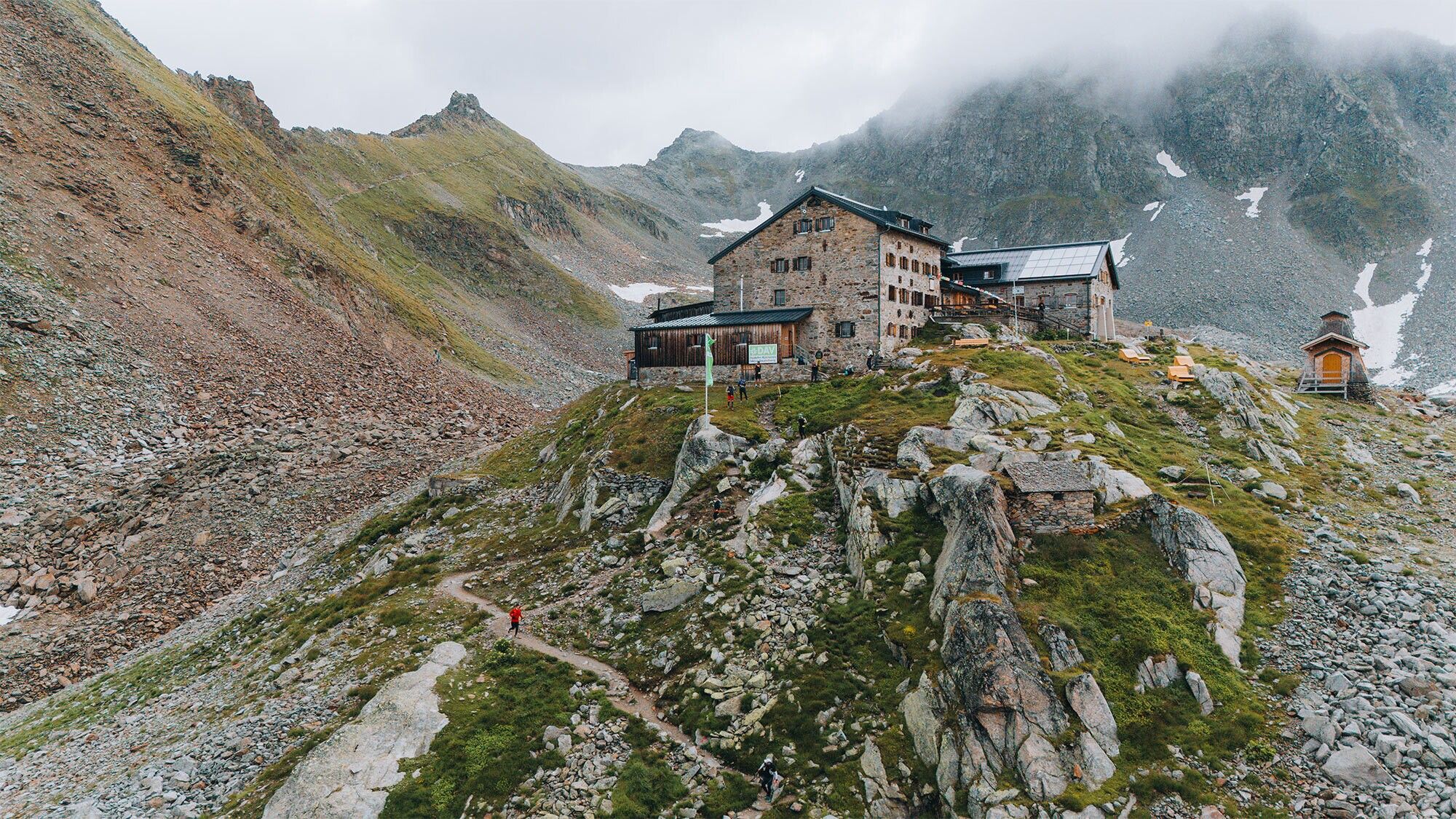
Depending on where you’re staying (Wenns or Mittelberg), you can either take a bus from Wenns to Mittelberg or hike from Mittelberg up the gravel road to the nearby “Gletscherstube” restaurant (signposted E5). Soon the trail forks; continue straight ahead toward the waterfall and the rock barrier (signs for “Braunschweiger Hütte via waterfall”). The trail through the rock barrier is well-marked, technically easy to navigate, and secured with steel cables in some sections.
After the rock barrier, the path joins the ski run, which you follow to the next fork in the path. This is also signposted. Continue to the left. In places, the ascent to the Braunschweigerhütte is quite steep and again features sections secured by steel cables. From there, you have a good view of the onward route up to the Rettenbachjoch, which is signposted and begins directly behind the hut (straight on towards Rettenbachjoch, whilst the path to the Pitztaler Jöchl branches off to the left). The descent from the pass has become easier in the upper section due to the retreat of the glacier. It has been re-routed and now leads more or less straight down beneath the cable car. In poor conditions (e.g. with snow in early summer), particular caution is advised here; from the end of July, however, you can alternatively glide down comfortably on the cable car.
In the Rettenbach ski area, it is best to change here to the 70 bus (‘Gletscher Sölden’), which runs hourly to Sölden. Otherwise, walk to the nearby mountain


