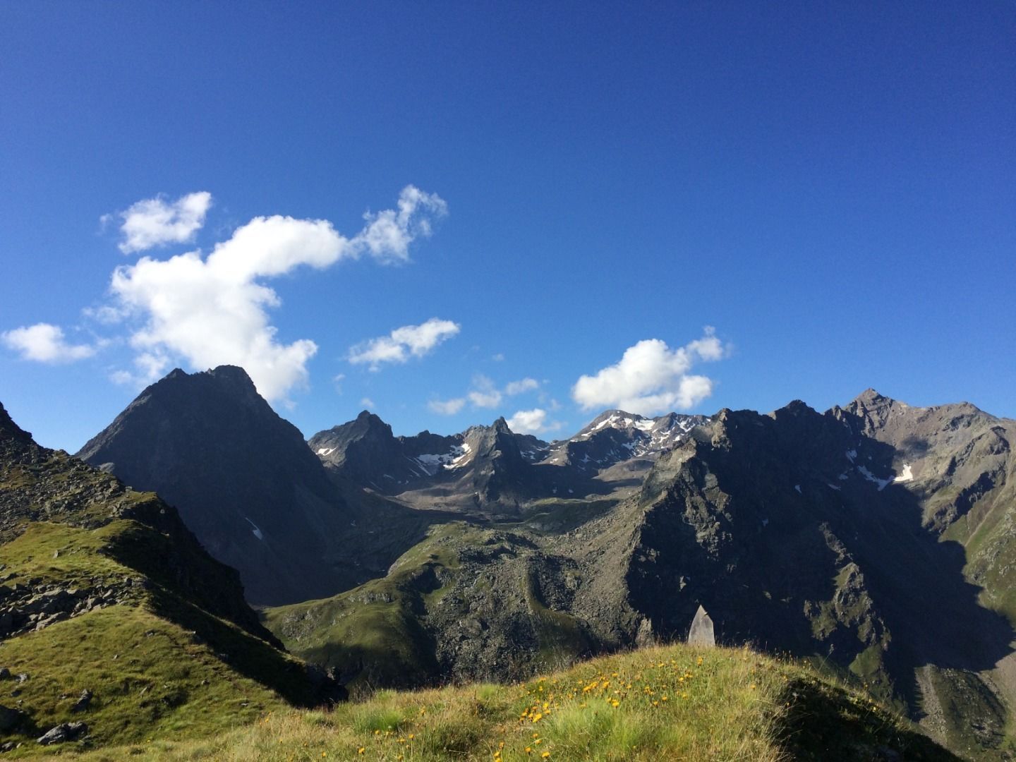
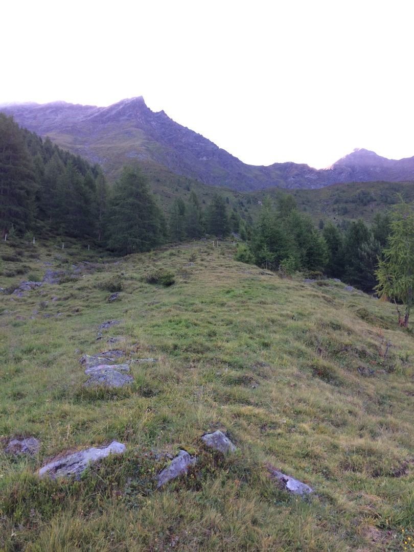
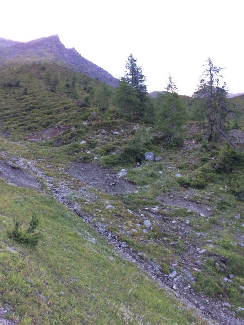
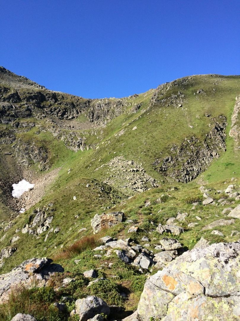
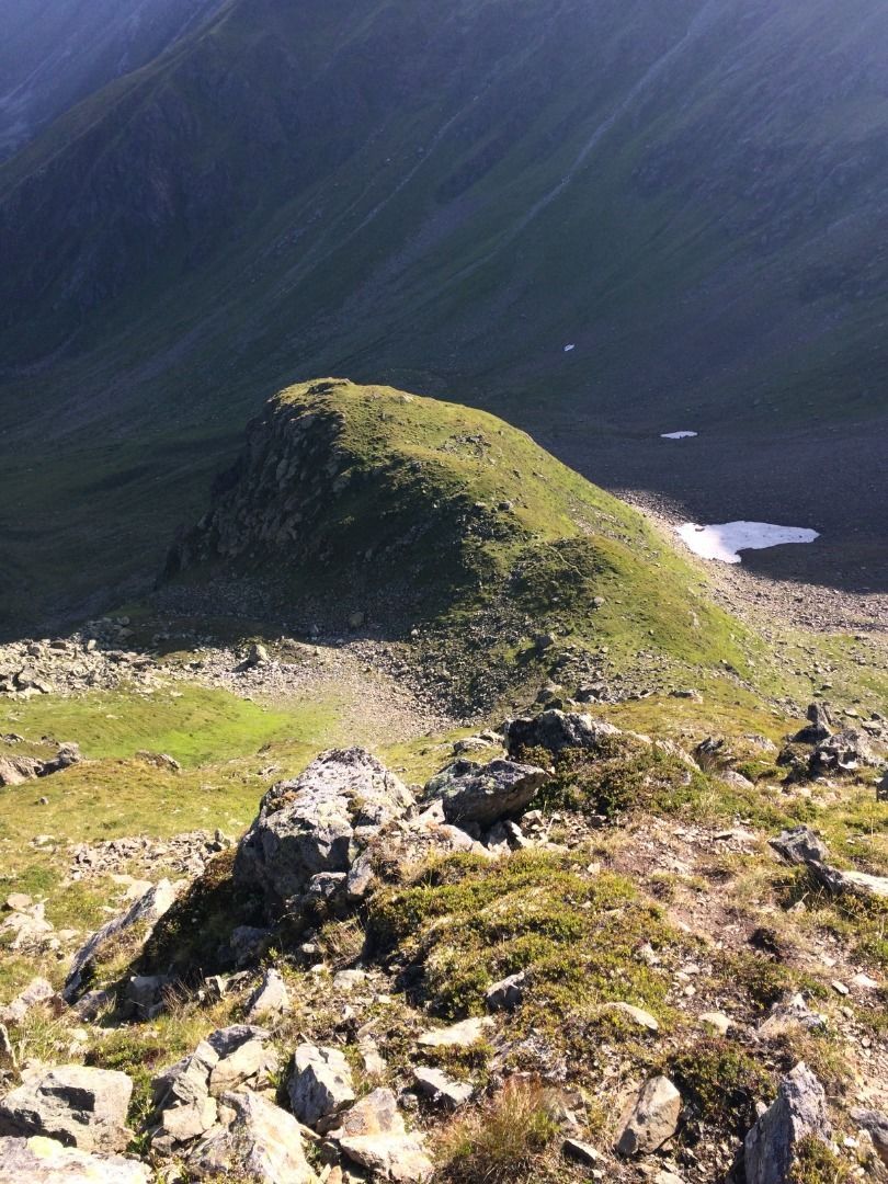
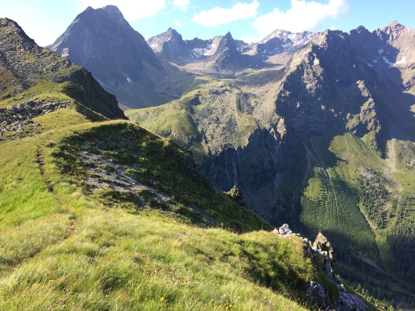
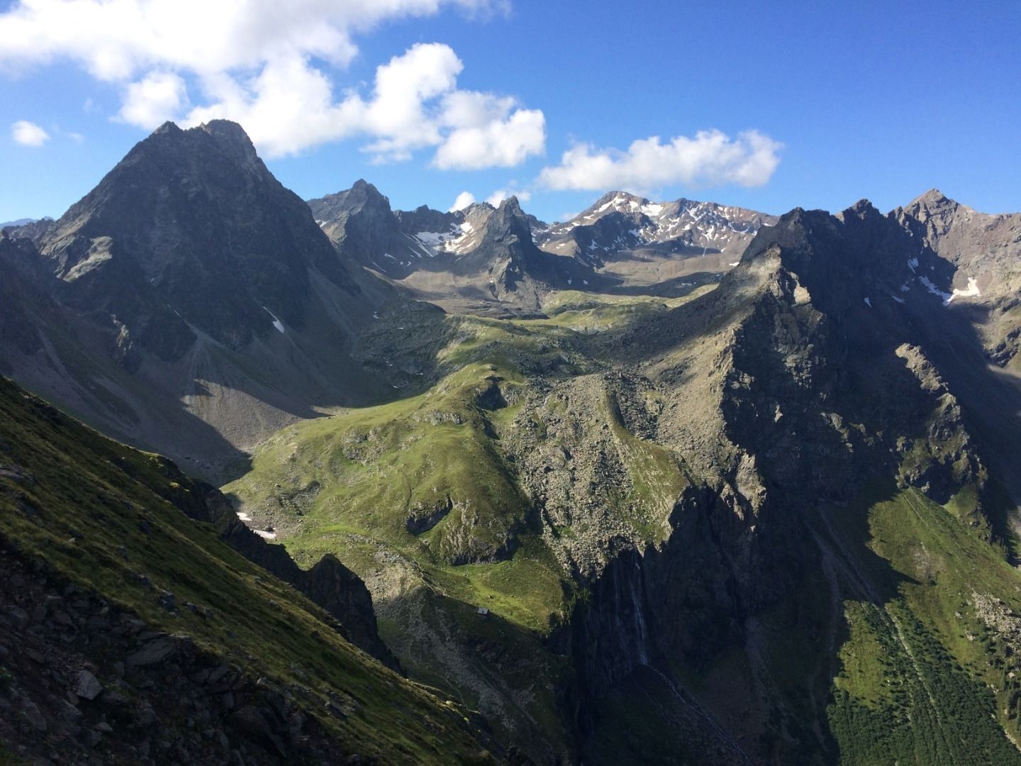
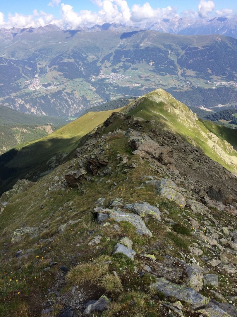
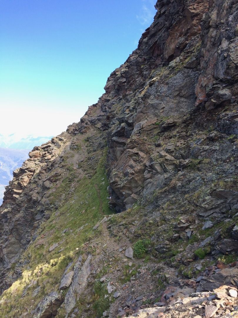
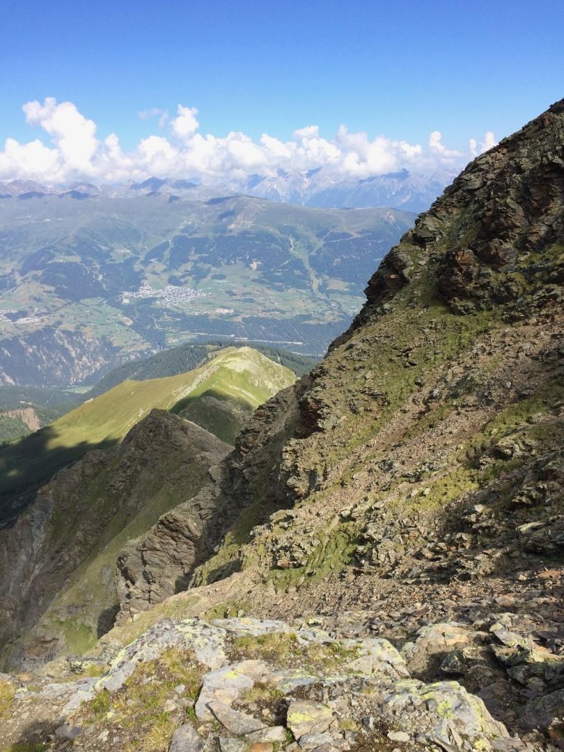
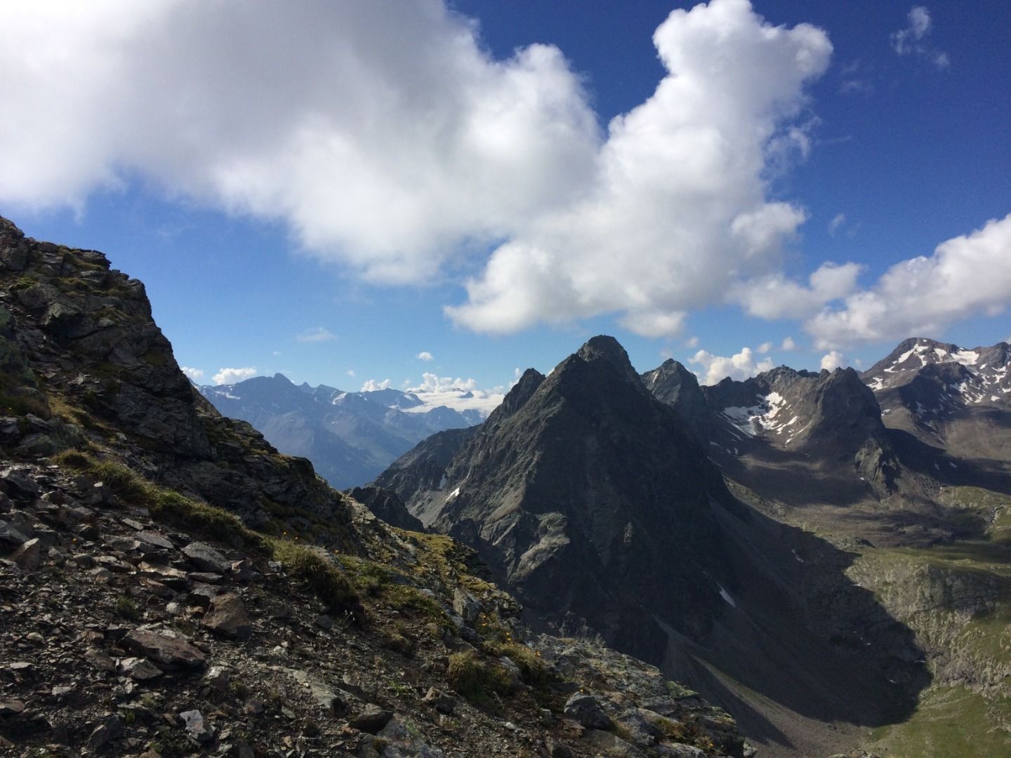
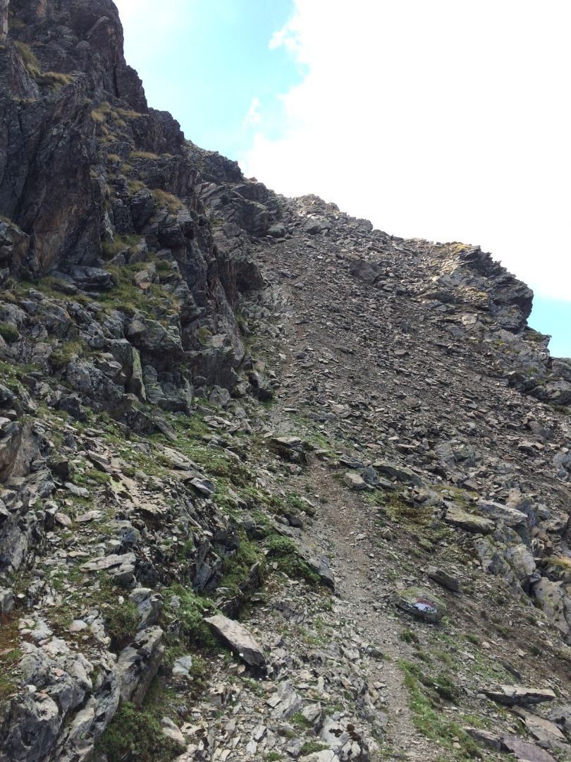
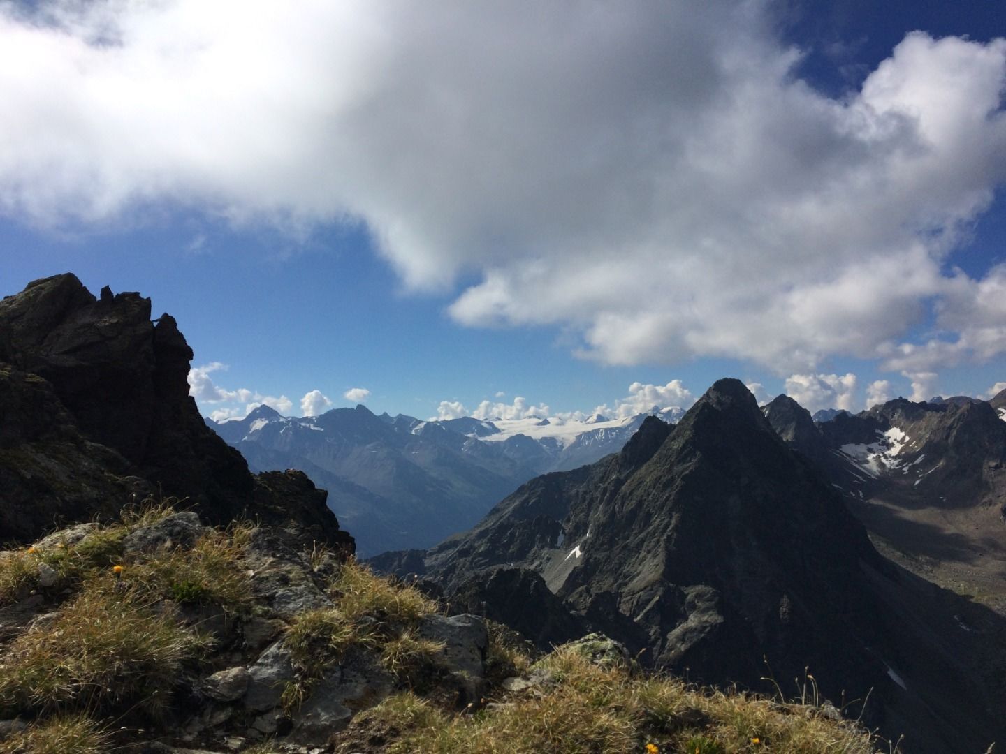
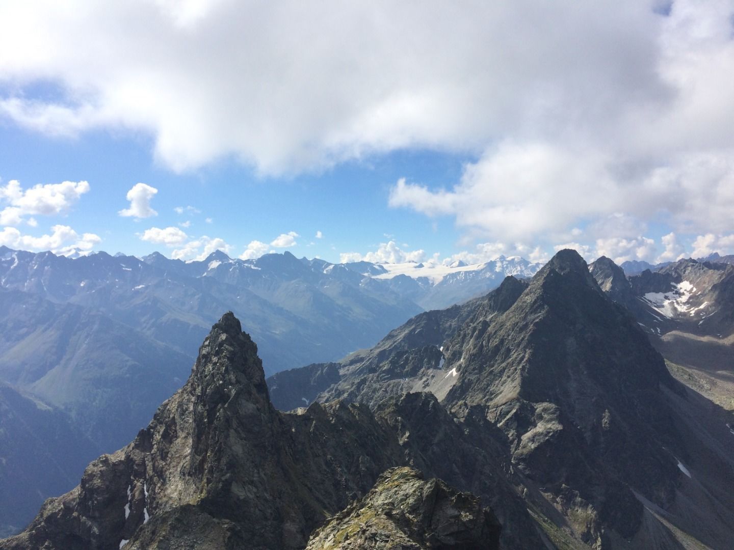
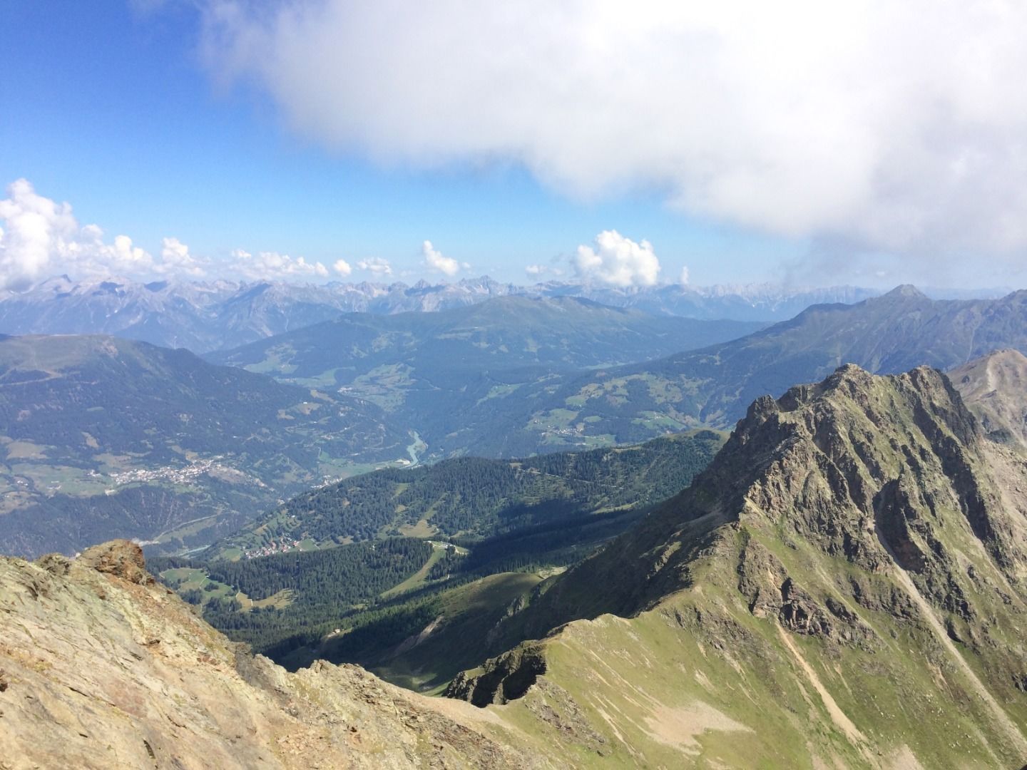
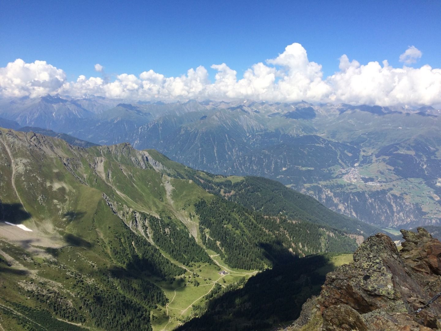
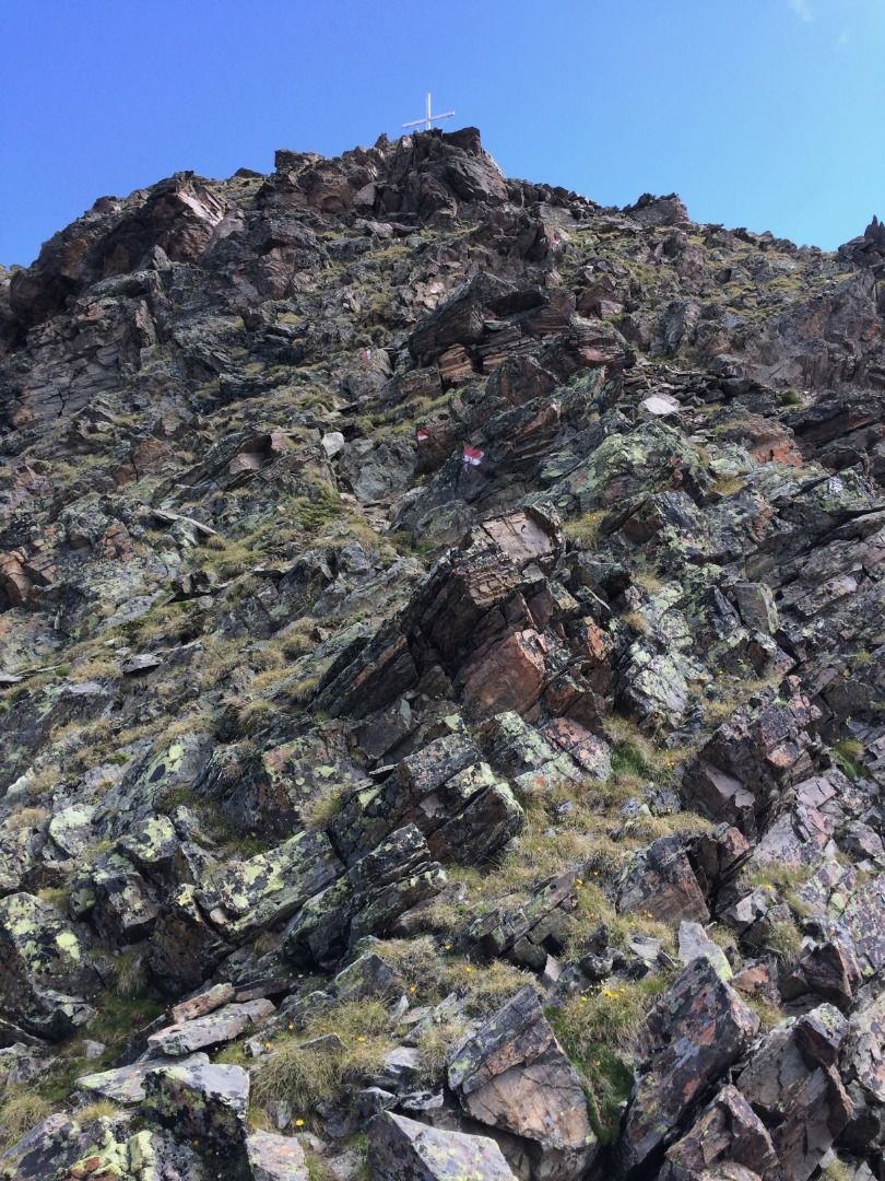
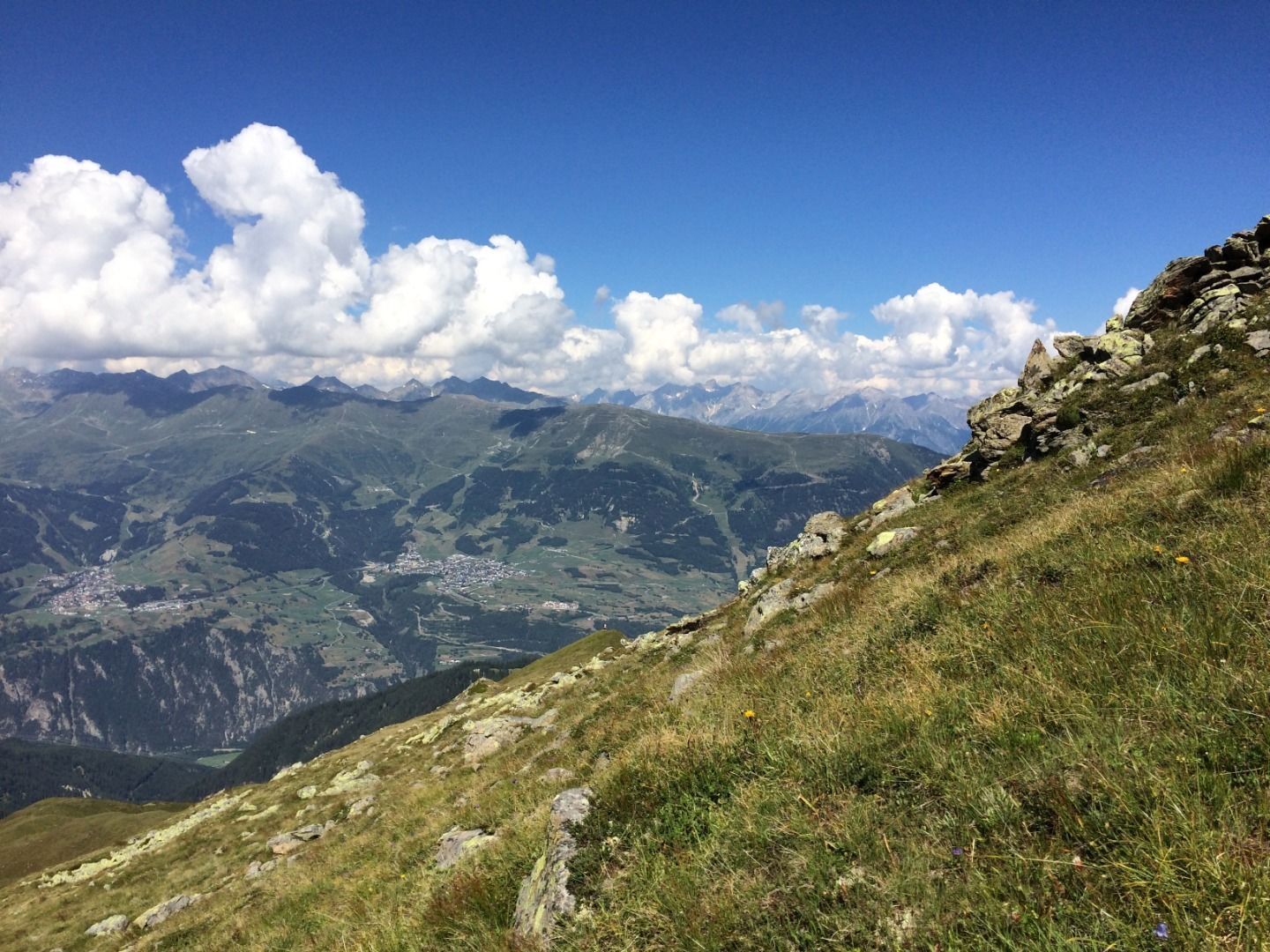
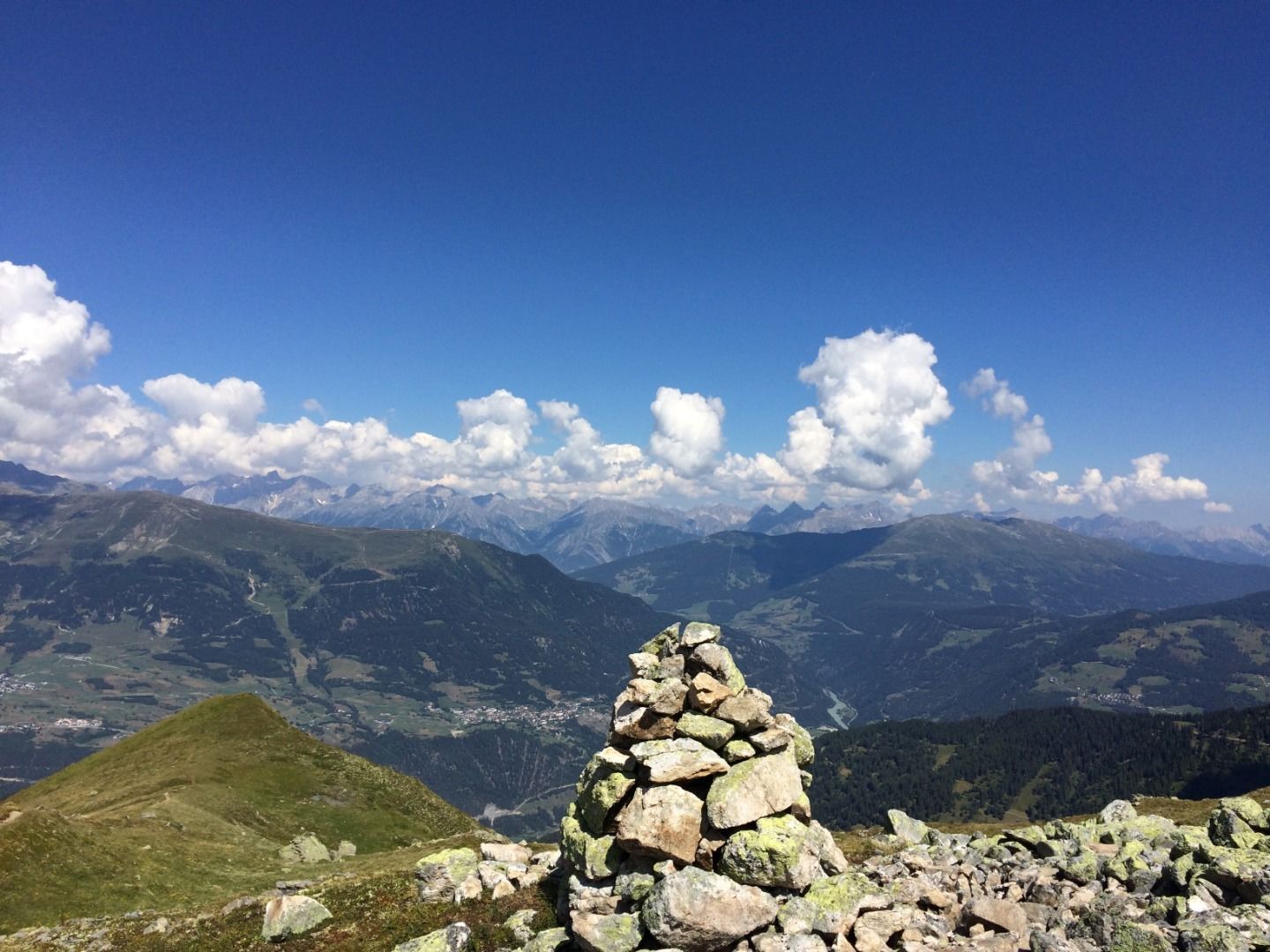
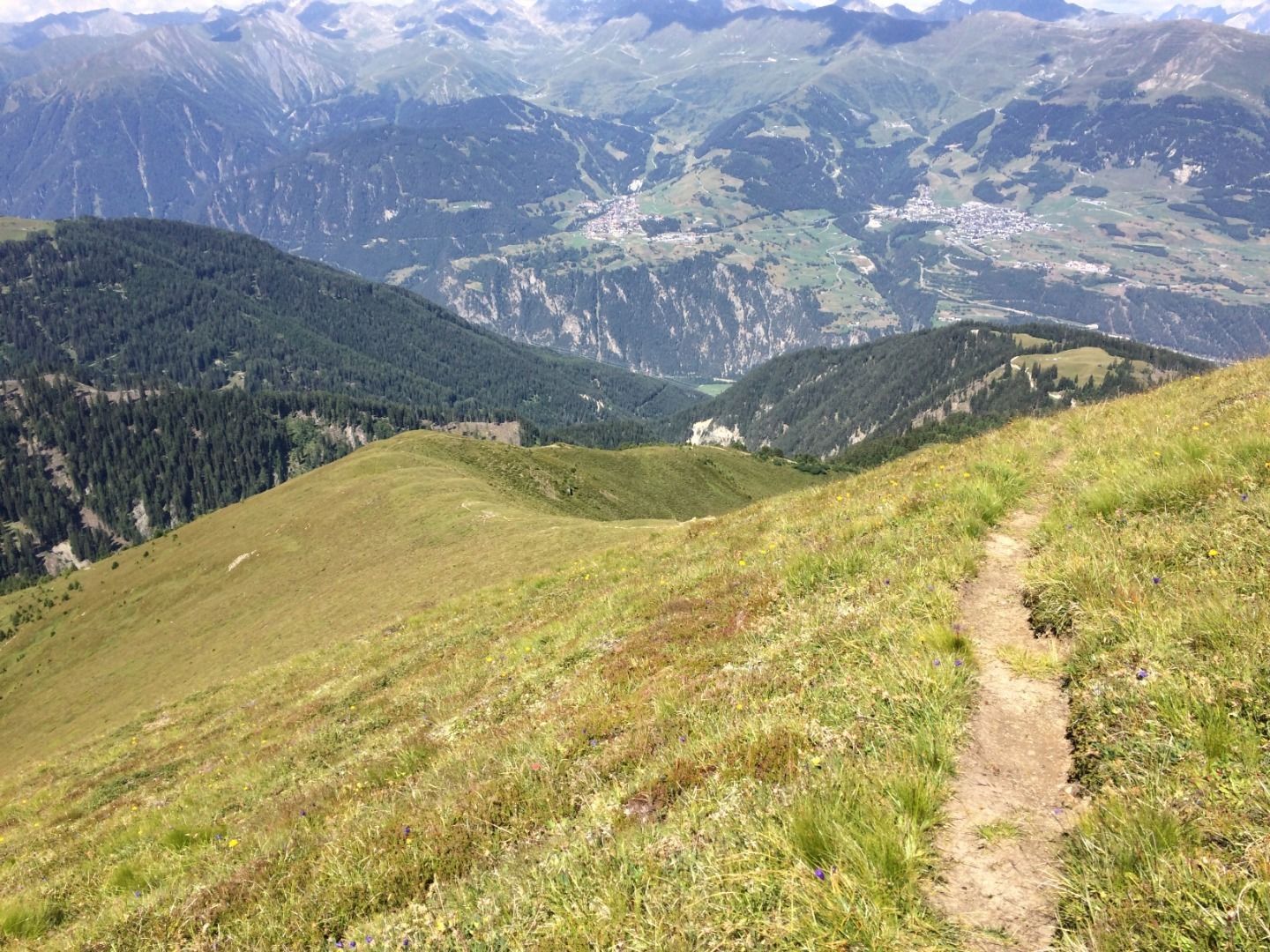
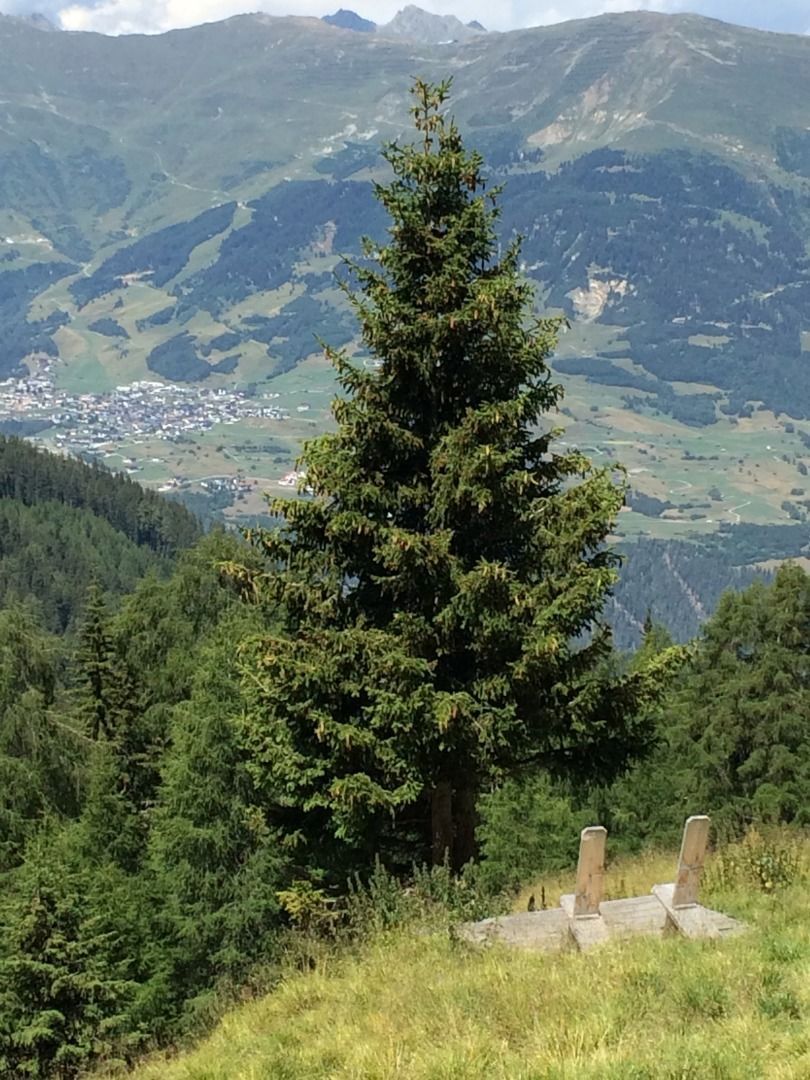
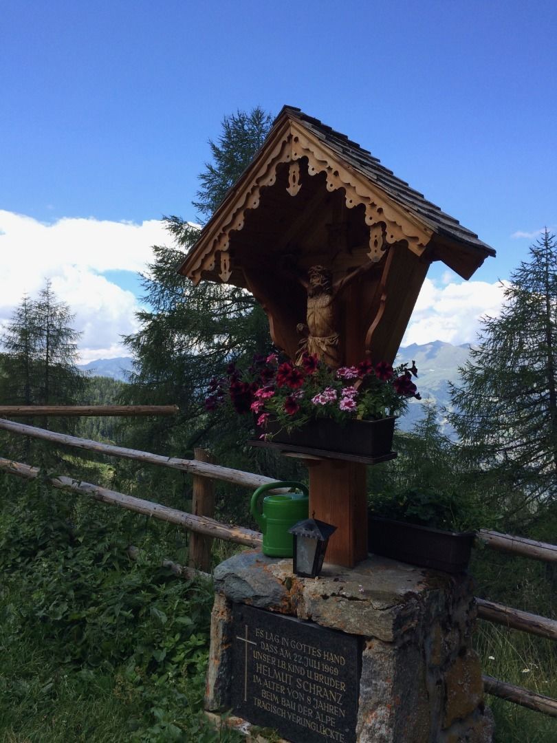
Grandiose Bergtour mit Aufstieg über den Schlantenkopf (2.525 m). Auf jeden Fall eine großartige, einsame und anstrengende Bergtour!
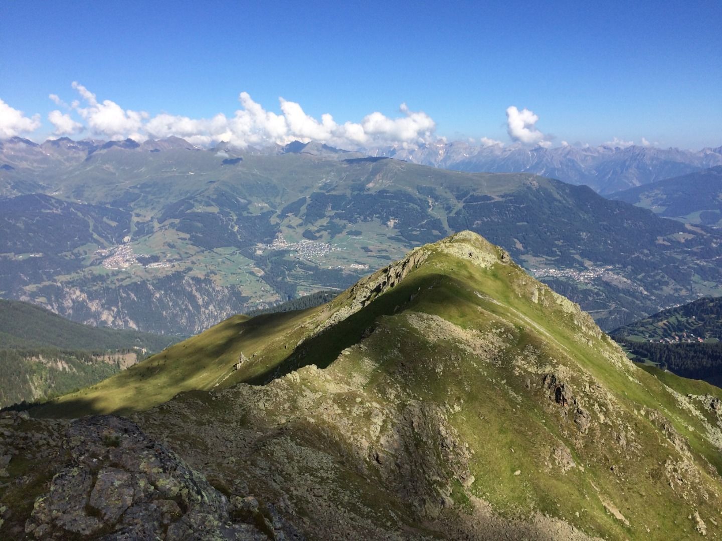
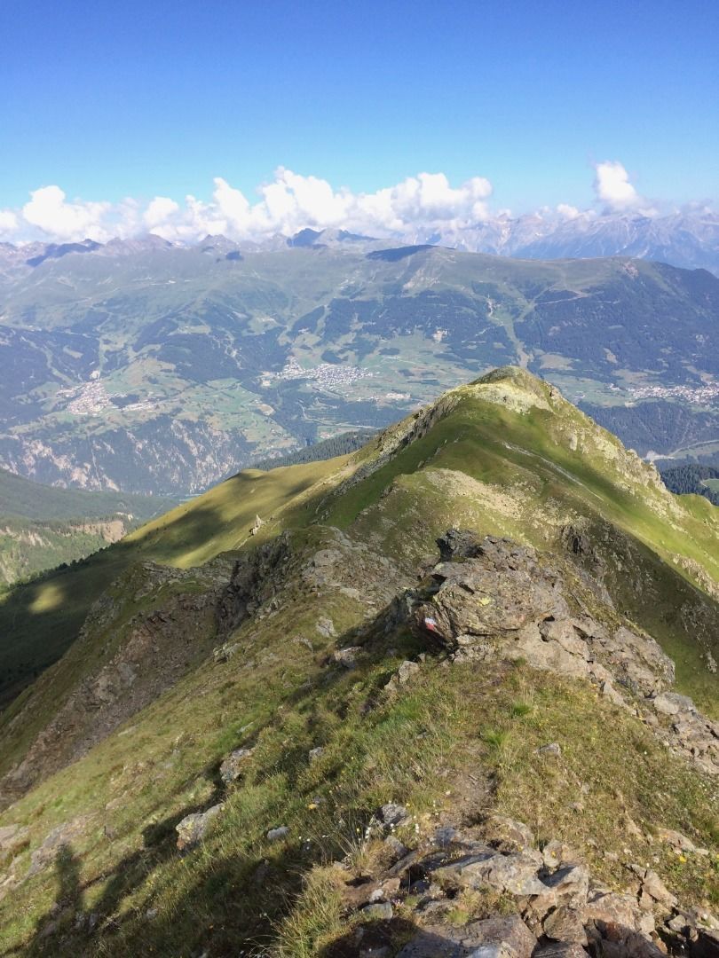
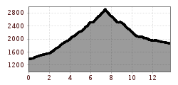
Open interactive mapOpen this POI on the interactive mapElevation profileDownloadFeichtner Karlspitze (2.918m) von Fendels.gpx
Kaiserjochhaus © Lechtal Tourismus Lechtaler Höhenweg: 3. Etappe Kasierjochhaus-Ansbacher HütteDifficulty:difficultLength:7.9 kmDuration:4:15 hElevation uphill:511 mSee trailSee trail: Lechtaler Höhenweg: 3. Etappe Kasierjochhaus-Ansbacher Hütte
Kaiserjochhaus © Lechtal Tourismus Lechtaler Höhenweg: 3. Etappe Kasierjochhaus-Ansbacher HütteDifficulty:difficultLength:11.3 kmDuration:6:45 hElevation uphill:1,010 mSee trailSee trail: Lechtaler Höhenweg: 3. Etappe Kasierjochhaus-Ansbacher Hütte
Lech bei Forchach. © Lechtal Tourismus Stanzach - Over the suspension bridgeDifficulty:easyLength:12.8 kmDuration:3:15 hElevation uphill:42 mSee trailSee trail: Stanzach - Over the suspension bridge
Kundl GorgeDifficulty:easyLength:6.5 kmDuration:3:00 hElevation uphill:10 mSee trailSee trail: Kundl Gorge
Feldberg, Stripsenjoch, Kaiserbachtal, Region St. Johann in Tirol, Kirchdorf © Mirja Geh Kaiserbachtal - Feldberg - StripsenjochDifficulty:mediumLength:21.0 kmDuration:9:00 hElevation uphill:1,170 mSee trailSee trail: Kaiserbachtal - Feldberg - Stripsenjoch
Blick vom Juifen ins Karwendel © Achensee Tourismus Achenkirch - Falkenmoosalm - Großzemmalm - Juifen - AchenkirchDifficulty:mediumLength:20.5 kmDuration:7:30 hElevation uphill:1,120 mSee trailSee trail: Achenkirch - Falkenmoosalm - Großzemmalm - Juifen - Achenkirch
Hoch oben an der Rastkogelhütte © Archiv TVB Mayrhofen Circuit & summit hike: Schwendberg (Jausenstation Melchboden) Arbiskopf, Rauhenkopf and KreuzjochDifficulty:mediumLength:8.6 kmDuration:3:30 hElevation uphill:450 mSee trailSee trail: Circuit & summit hike: Schwendberg (Jausenstation Melchboden) Arbiskopf, Rauhenkopf and Kreuzjoch
neuer-wanderweg-im-stilluptal-foto-stefan-absenger © Archiv TVB Mayrhofen Themed hike: Stilluptal "Wasserfallweg"Difficulty:easyLength:15.3 kmDuration:5:00 hElevation uphill:325 mSee trailSee trail: Themed hike: Stilluptal "Wasserfallweg"
swiss-track02-c-npht-martin-kurzthaler.jpeg © Nationalpark Hohe Tauern / Martin Kurzthaler Rollitour with Swiss TracDifficulty:easyLength:3.2 kmDuration:1:30 hElevation uphill:135 mSee trailSee trail: Rollitour with Swiss Trac
imagemeta.apiv2.1593523029518 © TVB Stubai Sulzenau Hütte - Blaue Lacke und GrünauseeDifficulty:mediumLength:3.2 kmDuration:1:07 hElevation uphill:117 mSee trailSee trail: Sulzenau Hütte - Blaue Lacke und Grünausee
Stage 7: Bremer Hut - Innsbrucker HutDifficulty:difficultLength:9.5 kmDuration:7:00 hElevation uphill:839 mSee trailSee trail: Stage 7: Bremer Hut - Innsbrucker Hut
Stage 4: Dresdner Hut - Sulzenau HutDifficulty:difficultLength:5.0 kmDuration:3:00 hElevation uphill:419 mSee trailSee trail: Stage 4: Dresdner Hut - Sulzenau Hut
Stage 6: Nürnberger Hut - Bremer HutDifficulty:difficultLength:6.0 kmDuration:4:00 hElevation uphill:642 mSee trailSee trail: Stage 6: Nürnberger Hut - Bremer Hut
outdooractiveImport_25033503 © TVB Stubai Stubai Tree House TrailDifficulty:easyLength:6.0 kmDuration:2:00 hElevation uphill:44 mSee trailSee trail: Stubai Tree House Trail
Sulzautal.jpg © TVB Stubai WildeWasserWeg: (Stage 2) Grawa Wasserfall - Sulzenau Alm - SulzenauhütteDifficulty:mediumLength:4.3 kmDuration:2:30 hElevation uphill:676 mSee trailSee trail: WildeWasserWeg: (Stage 2) Grawa Wasserfall - Sulzenau Alm - Sulzenauhütte
Sulzenauer Becken2.JPG © TVB Stubai WildeWasserWeg: all stagesDifficulty:mediumLength:9.6 kmDuration:5:10 hElevation uphill:1,165 mSee trailSee trail: WildeWasserWeg: all stages
©-TVB-Tiroler-Oberland-Kaunertal-Teammedia-Michael-Obex-2021-Verpeilschlucht-_A025725.jpg © Teammedia, Michael Obex VerpeilschluchtOpening hours:openDifficulty:mediumDuration:3:00 hElevation uphill:386 mSee trailSee trail: Verpeilschlucht
Pärchen nähe Falbesoner Ochsenalm © TVB Stubai Falbeson - Falbesoner Ochsenalm - Neue Regensburger HütteDifficulty:mediumLength:4.1 kmDuration:3:39 hElevation uphill:1,151 mSee trailSee trail: Falbeson - Falbesoner Ochsenalm - Neue Regensburger Hütte
Stage 3: Neue Regensburger Hut - Dresdner HutDifficulty:difficultLength:13.0 kmDuration:7:00 hElevation uphill:1,033 mSee trailSee trail: Stage 3: Neue Regensburger Hut - Dresdner Hut
Nürnberger Hütte © TVB Stubai Tour: Bushaltestelle Nürnberger Hütte - Nürnberger HütteDifficulty:mediumLength:11.7 kmDuration:4:34 hElevation uphill:909 mSee trailSee trail: Tour: Bushaltestelle Nürnberger Hütte - Nürnberger Hütte
©-TVB-Tiroler-Oberland-Kaunertal-Daniel-Zangerl-Aifneralm-2016-(19).jpg © Daniel Zangerl Rolli-Wanderung Aifner AlmDifficulty:mediumLength:6.0 kmDuration:2:30 hElevation uphill:460 mSee trailSee trail: Rolli-Wanderung Aifner Alm
©-TVB-Tiroler-Oberland-Kaunertal-Daniel-Zangerl-2016-Nassereinalm-(5).jpg © Daniel Zangerl Rolli-Wanderung NassereinalmDifficulty:mediumLength:5.5 kmDuration:1:45 hElevation uphill:269 mSee trailSee trail: Rolli-Wanderung Nassereinalm
Benni-Raich-Brücke_0518_001.jpg © TVB Pitztal/Chris Walch Arzl - Benni-Raich-Bridge - WaldDifficulty:easyLength:1.8 kmDuration:0:40 hElevation uphill:120 mSee trailSee trail: Arzl - Benni-Raich-Bridge - Wald
Going_Ausblick vom Baumgartenköpfl_Wilder Kaiser © TVB Wilder Kaiser/Thomas Hennerbichler Tauernblick panorama circular hiking routeDifficulty:mediumLength:13.6 kmDuration:6:00 hElevation uphill:980 mSee trailSee trail: Tauernblick panorama circular hiking route
Circular Hike at the KellerjochDifficulty:mediumLength:7.7 kmDuration:4:30 hElevation uphill:585 mSee trailSee trail: Circular Hike at the Kellerjoch
Give feedback for a chance to win a special holiday experience!Click here for the surveyClick here for the survey


.jpg")


.jpg")
.jpg")


")
