Mountain hikes Fiss via Frommes

closed
Fiss / Samnaungruppe
Difficulty ratings: medium
Route length: 22.7 km
Duration: 7:00 h

Fiss via Frommes

Tour information

  • Requirement: medium
  • Length: 22.7 km
  • Duration: 7:00 h
  • Elevation uphill:1,068 hm
  • Elevation downhill:1,069 hm
Highest point2,241 m

Starting point

Sägegasse in Fiss

Finishing point

Fiss

Features

  • Circular route
Source: Serfaus-Fiss-Ladis

Description

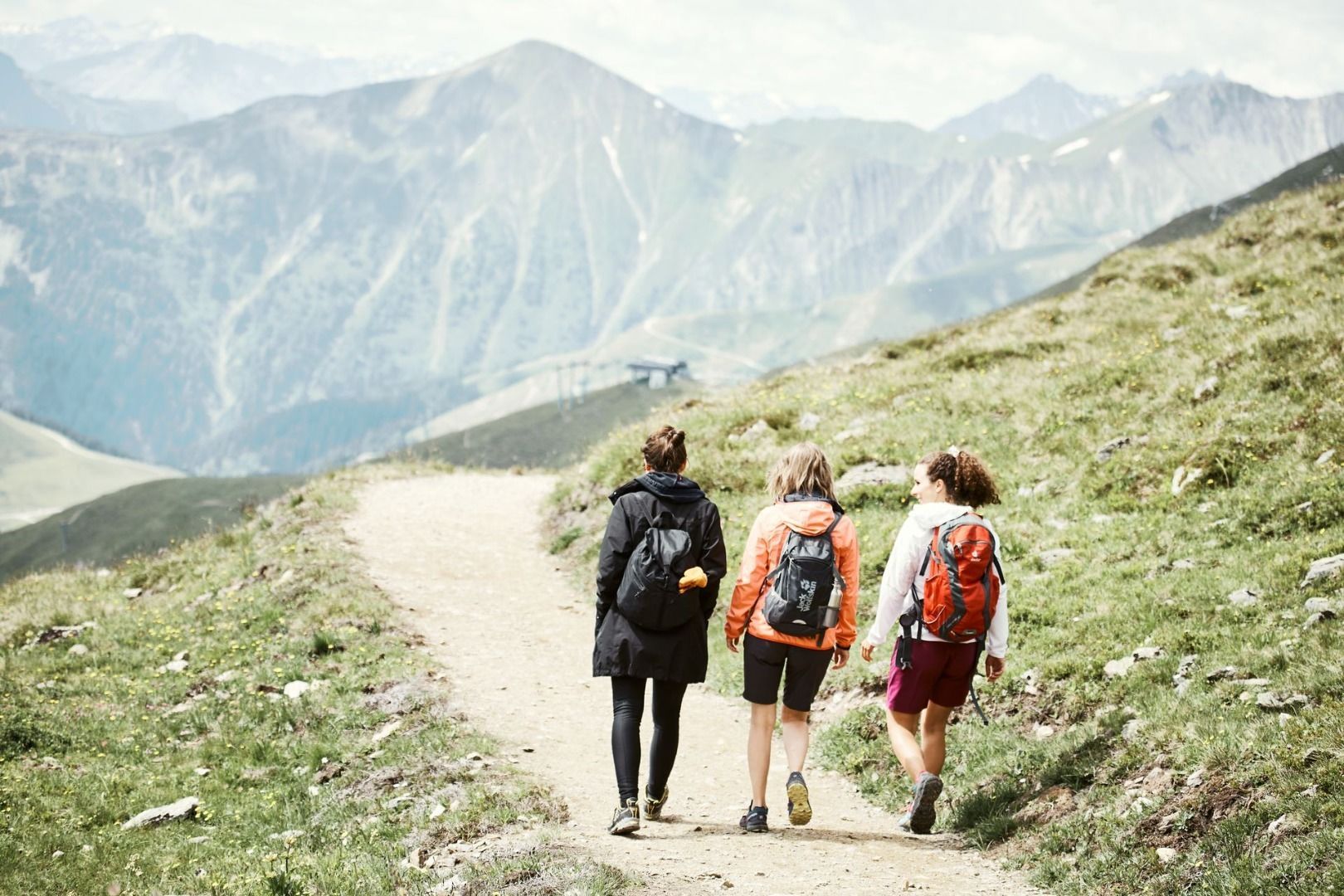
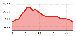
Take the Fisser Almweg trail no. 4 (F010) to the Schöngampalm (F039), continue to ascend past the Zirbenhütte (F041), on the Alpenrosensteig path no. 26 (F043) to the Frommessattel (F073), via trail no. 5 to the Frommeskreuz (F071) and return to Fiss (F010). This roundabout trail is also recommended in the reverse direction.

Nearby huts and mountain restaurants

More tours in the surrounding area

  • Wild Animals Trail

    Opening hours:closed
    Difficulty:easy
  • Marmot Trail

    Opening hours:closed
    Difficulty:easy
    Length:573 mDuration:0:20 hElevation uphill:12 m
  • Forscherpfad

    Opening hours:closed
    Difficulty:easy
    Length:3.4 kmDuration:1:30 hElevation uphill:219 m
  • Fiss to the Oberen Sattelkopf

    Opening hours:closed
    Difficulty:medium
    Length:5.6 kmDuration:3:00 hElevation uphill:1,079 m
  • Six Senses trail

    Opening hours:open
    Difficulty:easy
    Length:5.7 kmDuration:4:00 h
  • Murmeltiersteig (Marmot alpine trail)

    Opening hours:closed
    Difficulty:medium
    Length:6.9 kmDuration:3:00 hElevation uphill:302 m
  • Six Senses trail

    Opening hours:closed
    Difficulty:easy
    Length:6.5 kmDuration:4:00 hElevation uphill:99 m
Newsletter

The mountain is calling? So does our newsletter!

In our monthly newsletter we reveal the best holiday tips for Tyrol.