
Opening hours:Open today
Place:Wörgl
:Restaurant, Alpine pasture / hut / mountain restaurant
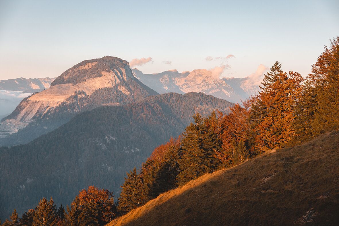
Varied hike through cosy forests.

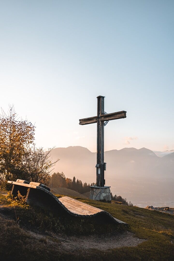
The starting point of the tour is the information office in Hopfgarten, from where you follow the tracks of the KAT Walk long-distance hiking trail into the centre of Hopfgarten. The road leads past Gasthof Traube to Cafe Lois. Directly in front of the café, opposite the Raiffaisenbank, turn left into Lukasfeld and follow the signs no. 13 in the direction of Bruggberg/Möslalmkogel. Continue along the Grafenweg to the Bruggberghof. From there, head to the Möslalmkogel (no. 13). With a breathtaking view over Wörgl, the forest path leads past the Möslalm down to Wörgl. The tour finish is at the information office in Wörgl.
You can get back to Hopfgarten by public transport.
bus: Hopfgarten Berglift Bahnhof
train: Hopfgarten Berglift Bahnhof
Guest card of the region = train ticket from Kirchbichl to Hochfilzen + bus ticket from Mariastein to Kitzbühel included
More detailed information: www.hohe-salve.com/mobility
Wasserfeld parking lot


")


")

Manfred Pfister.jpg")


.jpg")
.jpg")
")
.jpg")

.jpg")


