

Difficulty:medium
Length:7.2 kmDuration:5:00 hElevation uphill:580 m
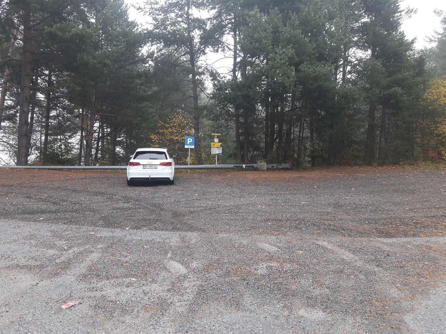
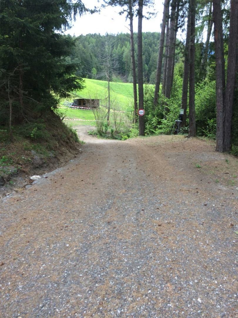
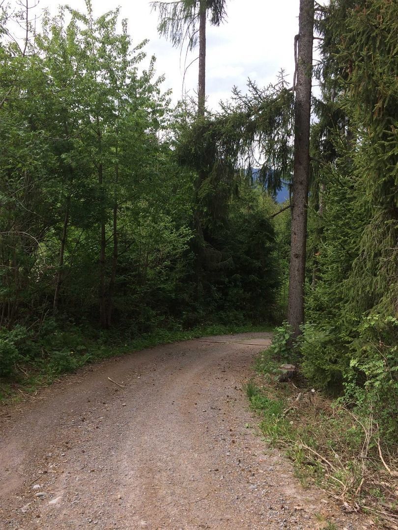
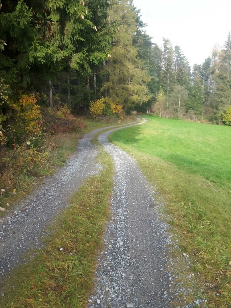
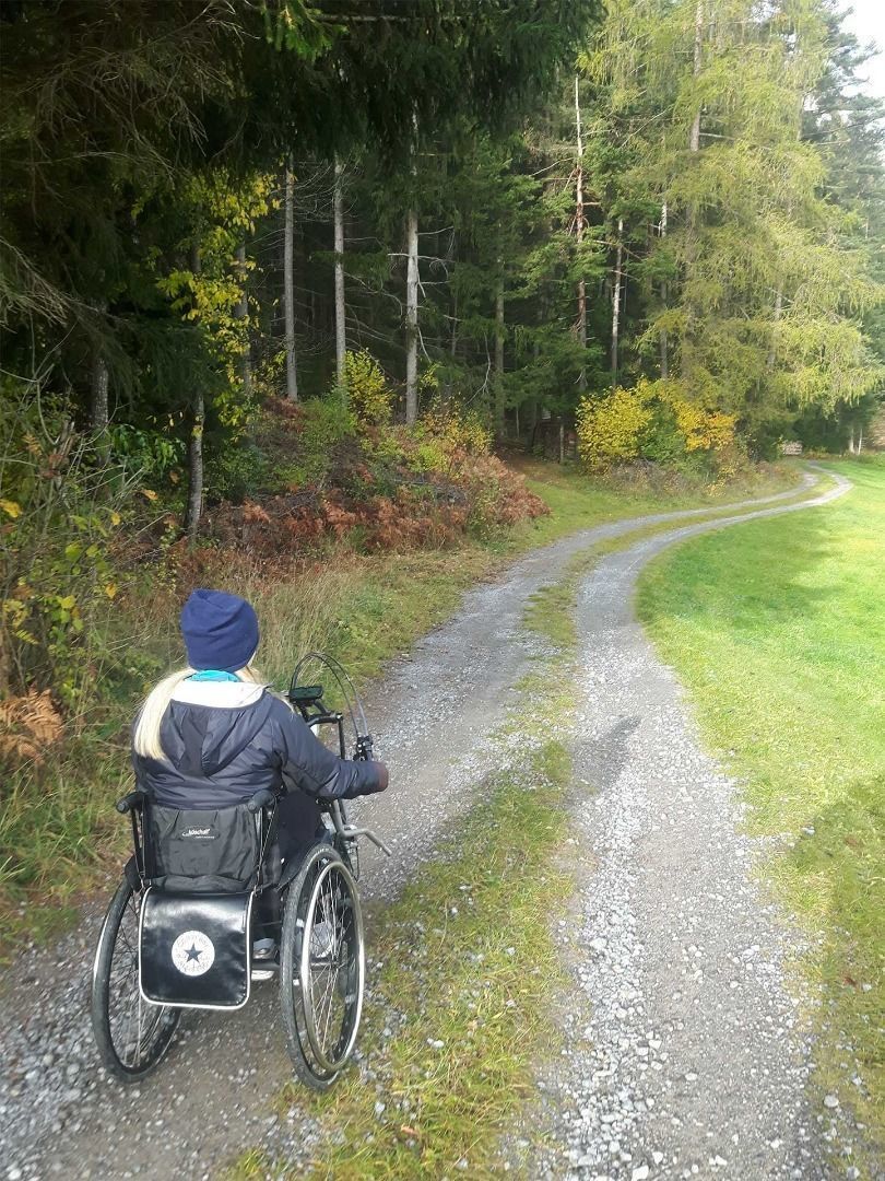
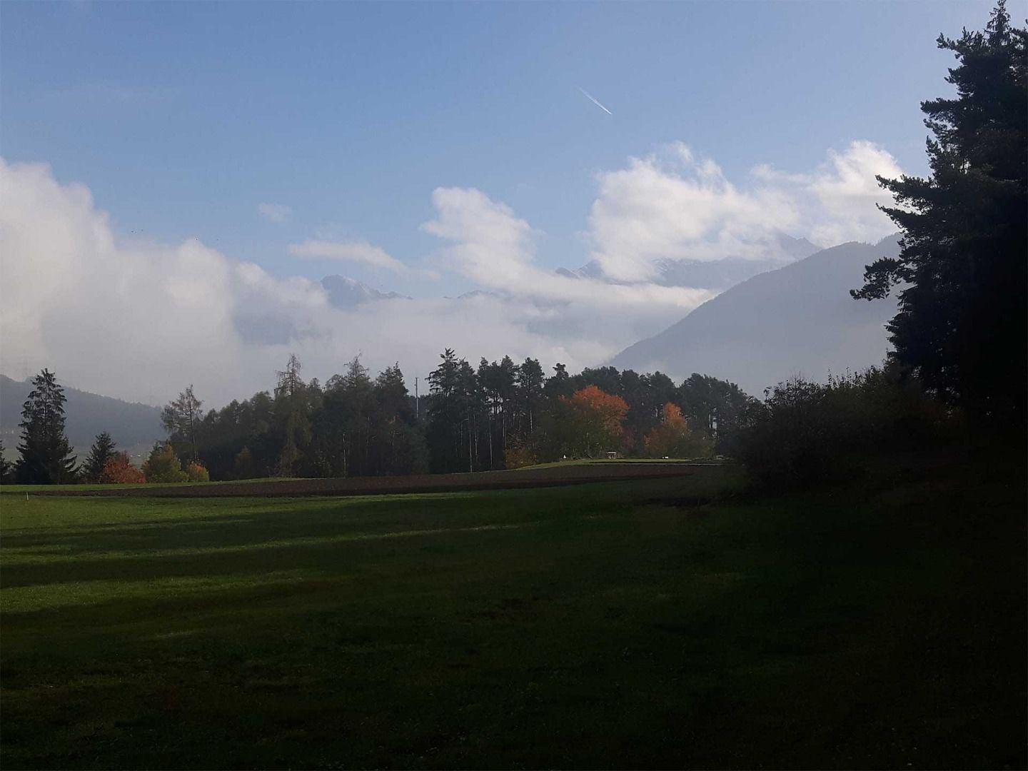
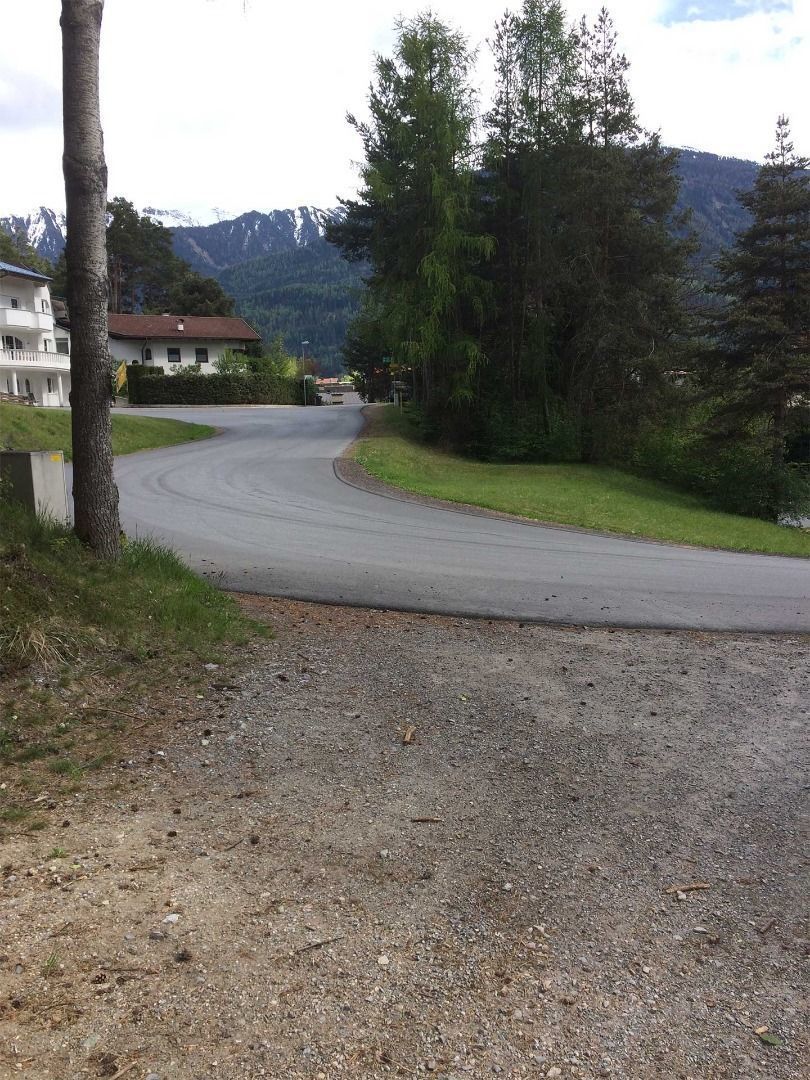
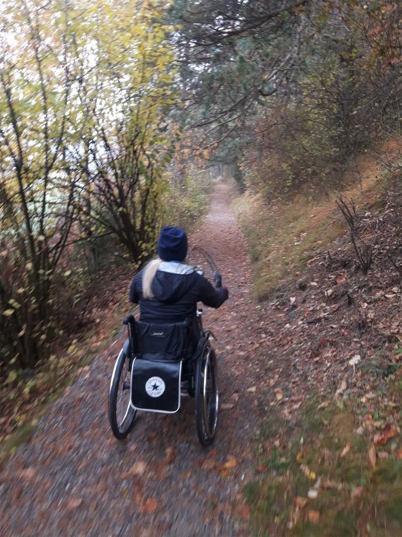
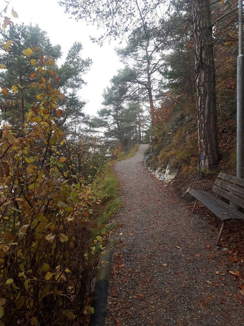
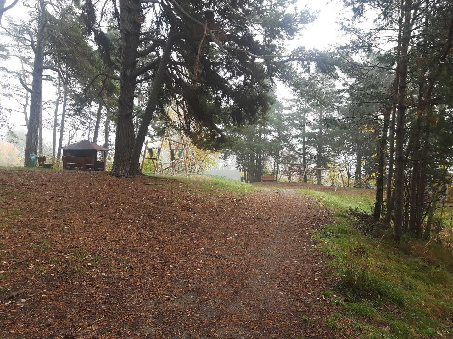
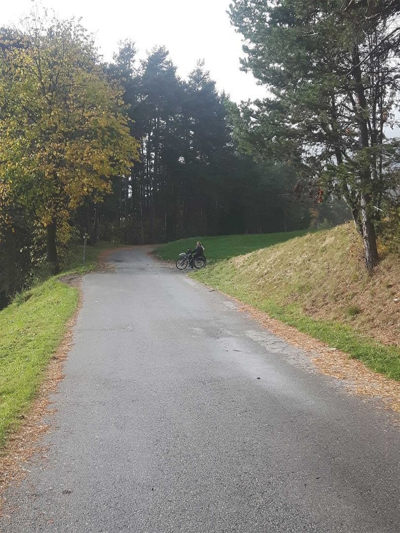
Swiss Trac Tour: Starting point for this circular route is the car park near the football grounds in Arzl. From there, follow a forest path for a long and continually downhill section. The surface has loose, rough stones in places. After ca. 1 km you have reached the lowest point of this circular route, the path levels out for a while before continuing on another ca. 1 km long uphill section. Please note that the surface of the path is also loose in places here. At the end of the forest path turn to a tarmac road in the direction of Osterstein. The road continues uphill for several hundred metres past houses and alongside the road before turning right into Diemersteig, which is a well-prepared gravel trail through the forest. It is a slight uphill climb to return to the starting point.


