
Opening hours:Open today
Place:
Brixlegg
:
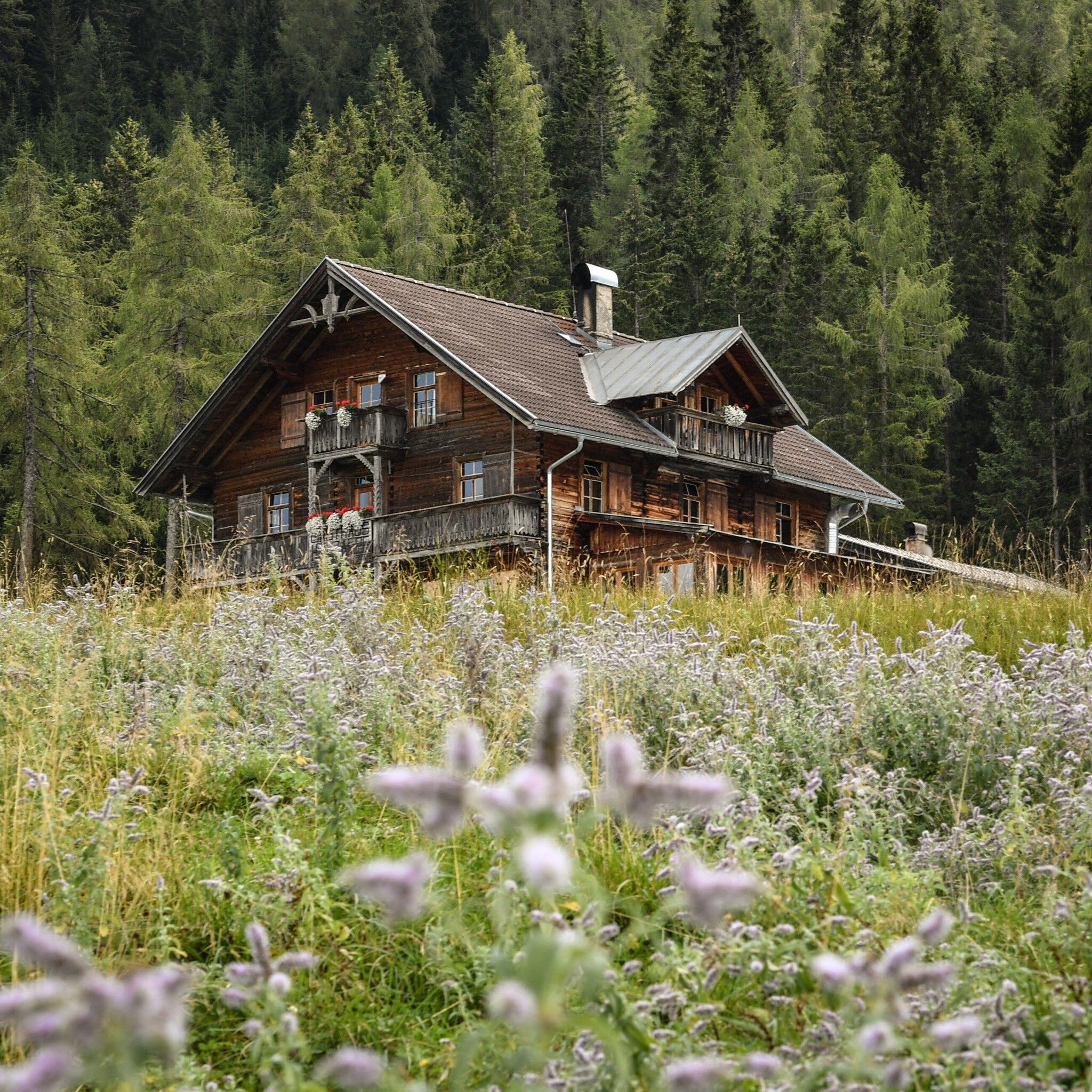
Alpine pasture / hut / mountain restaurant
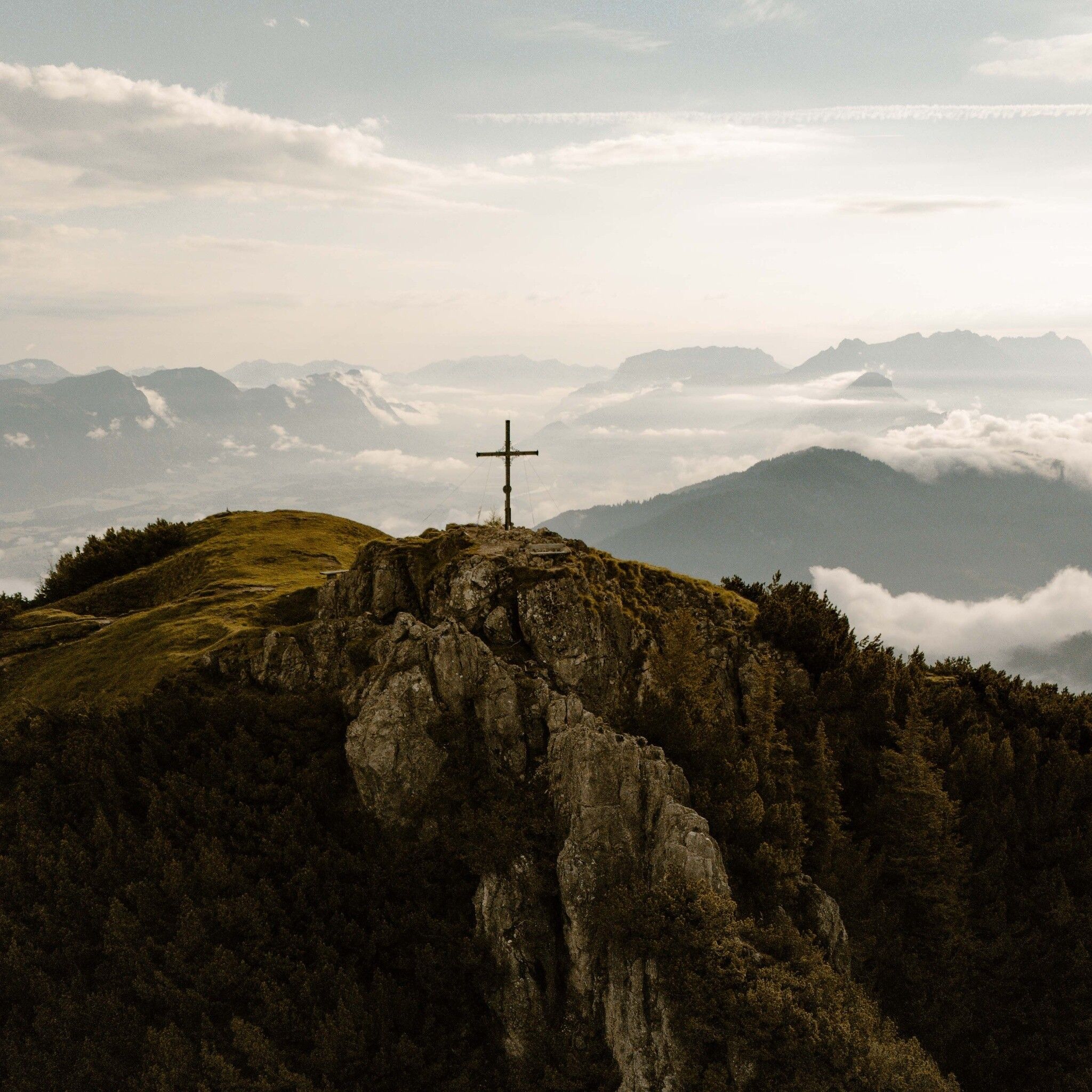
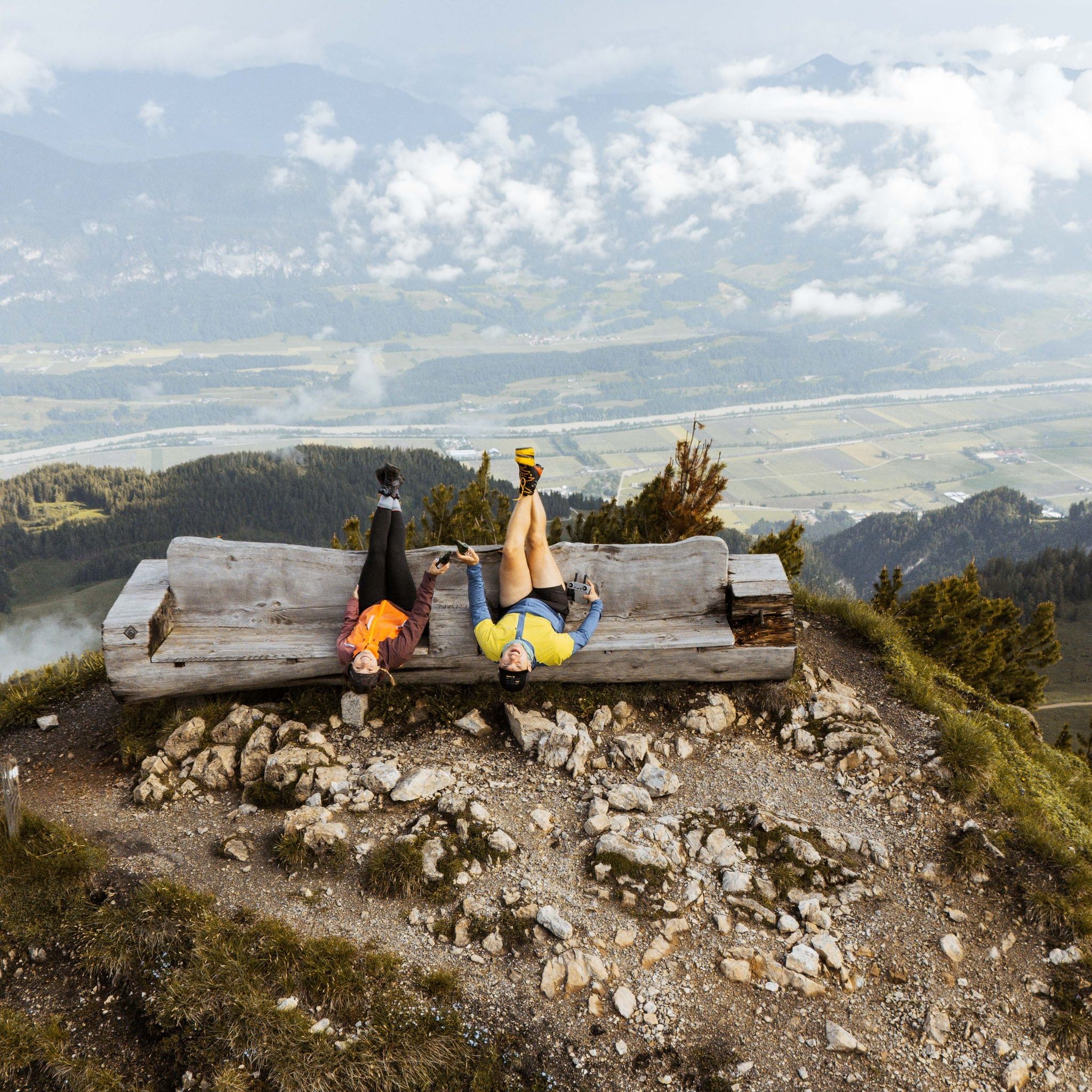
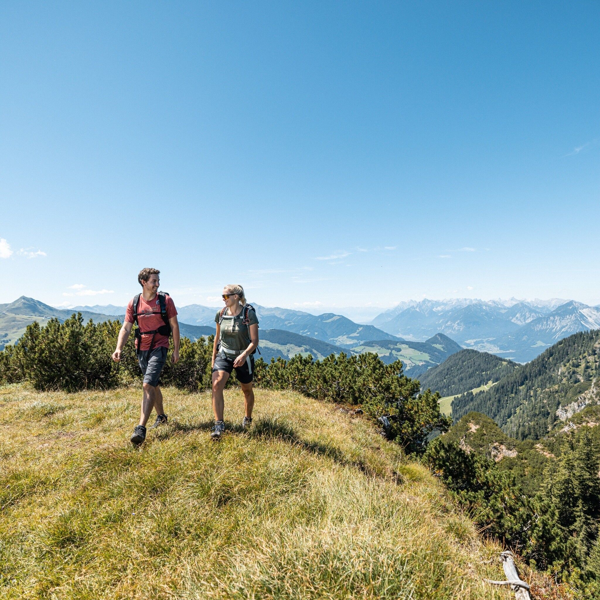
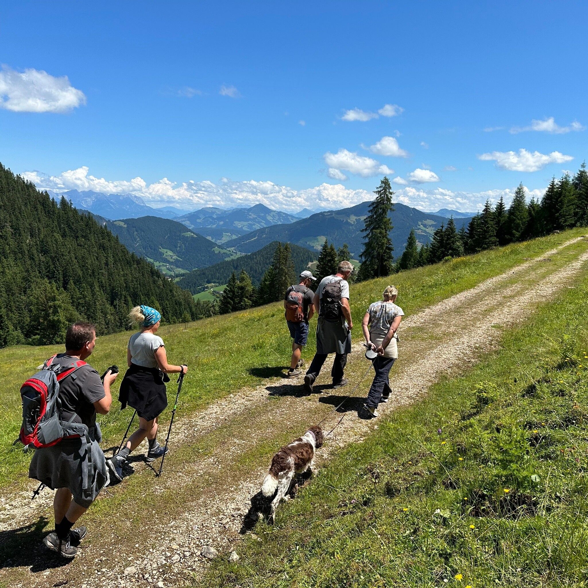
Varied hike offering splendid views
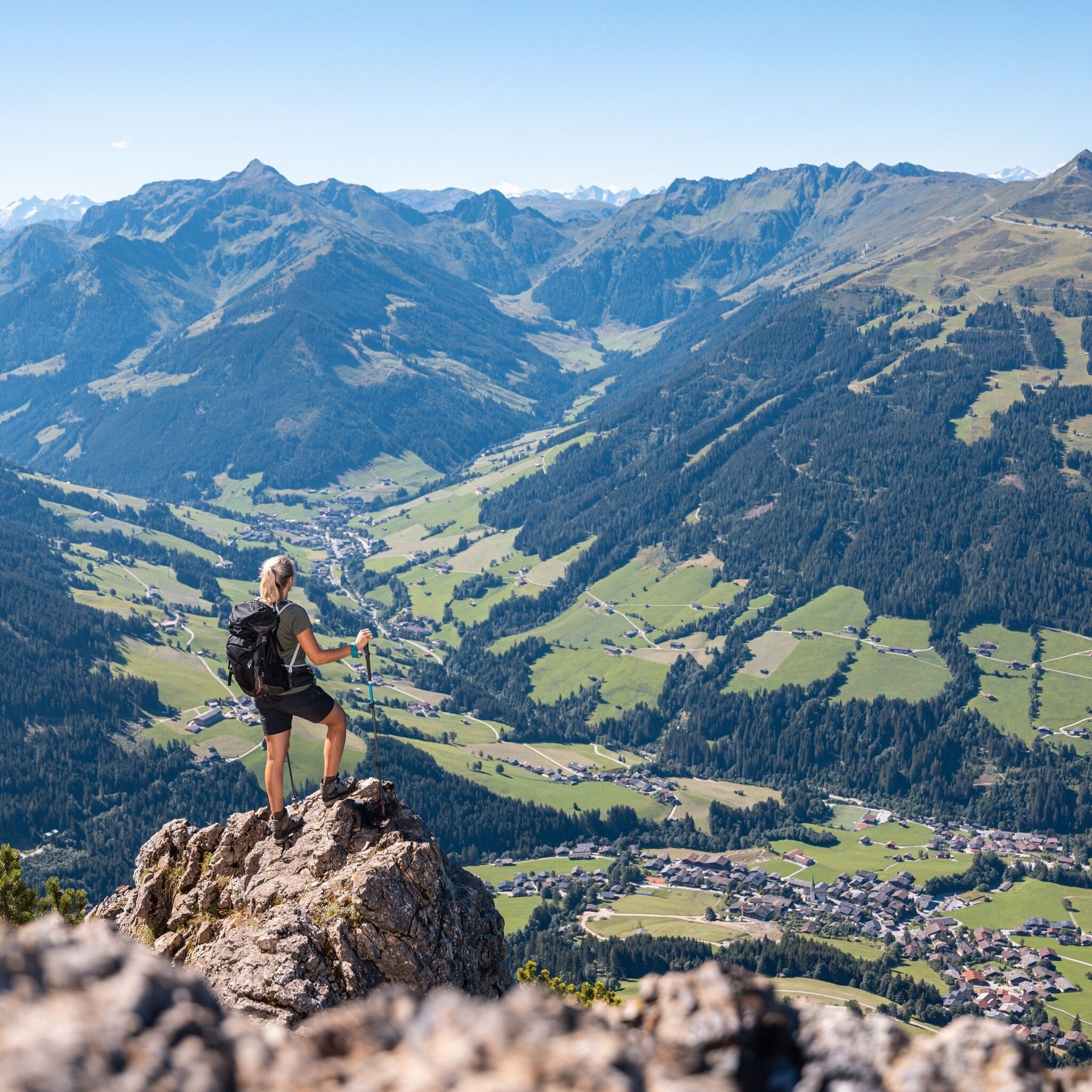
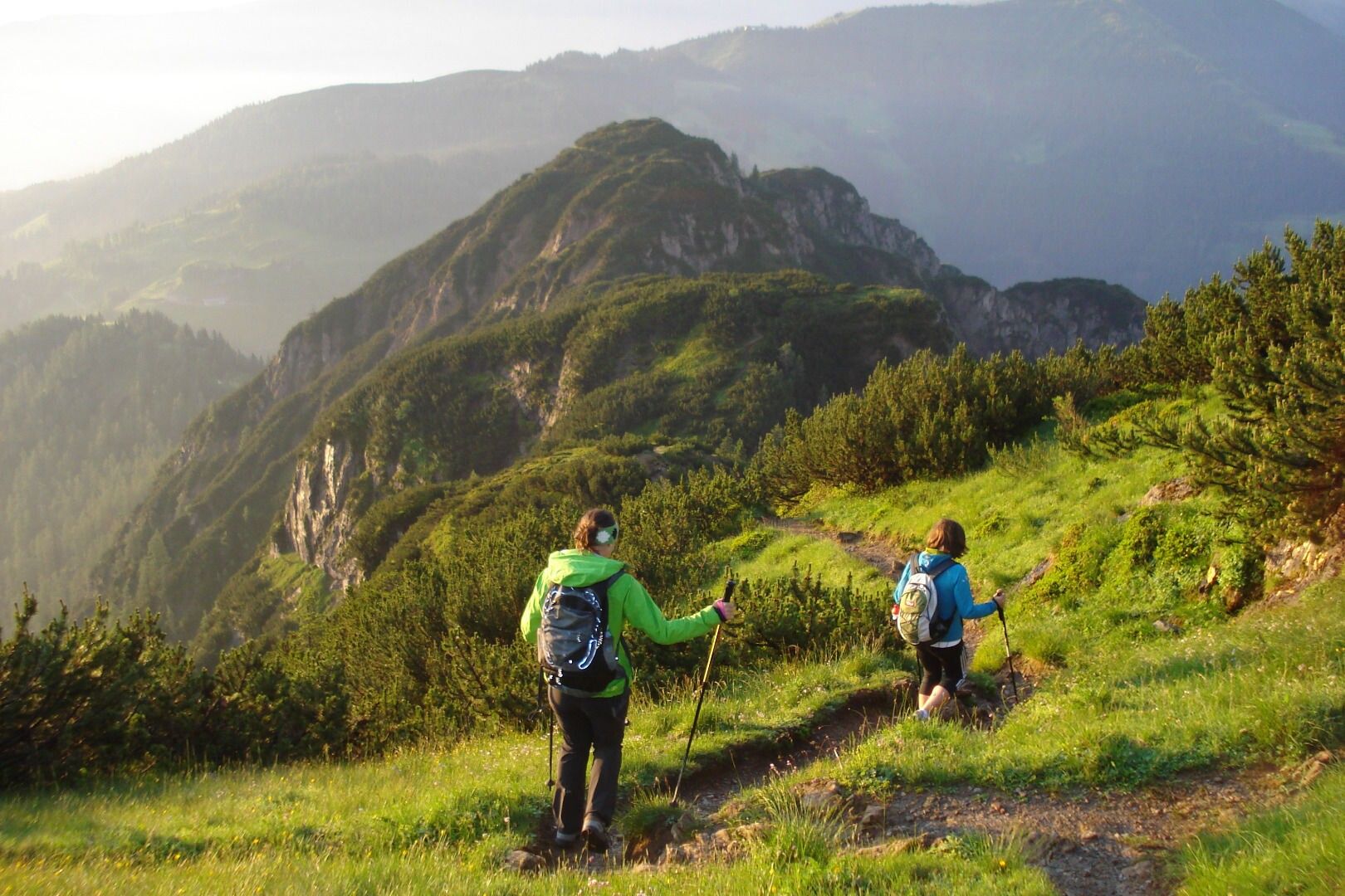
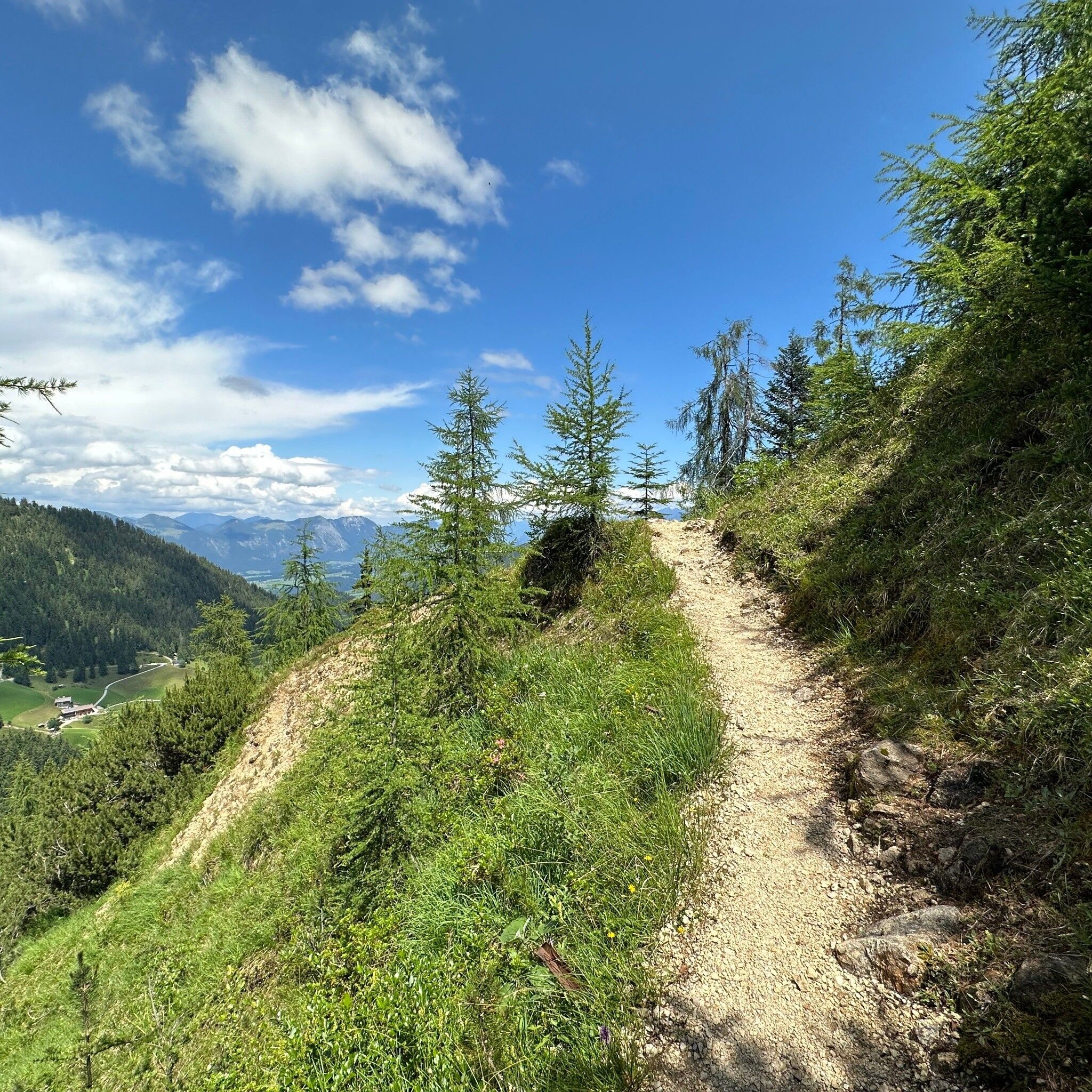
The path leading from Gratlspitze to the Hösljoch has some exposed sections, sure-footedness is reuired.
Sturdy shoes and protective clothing
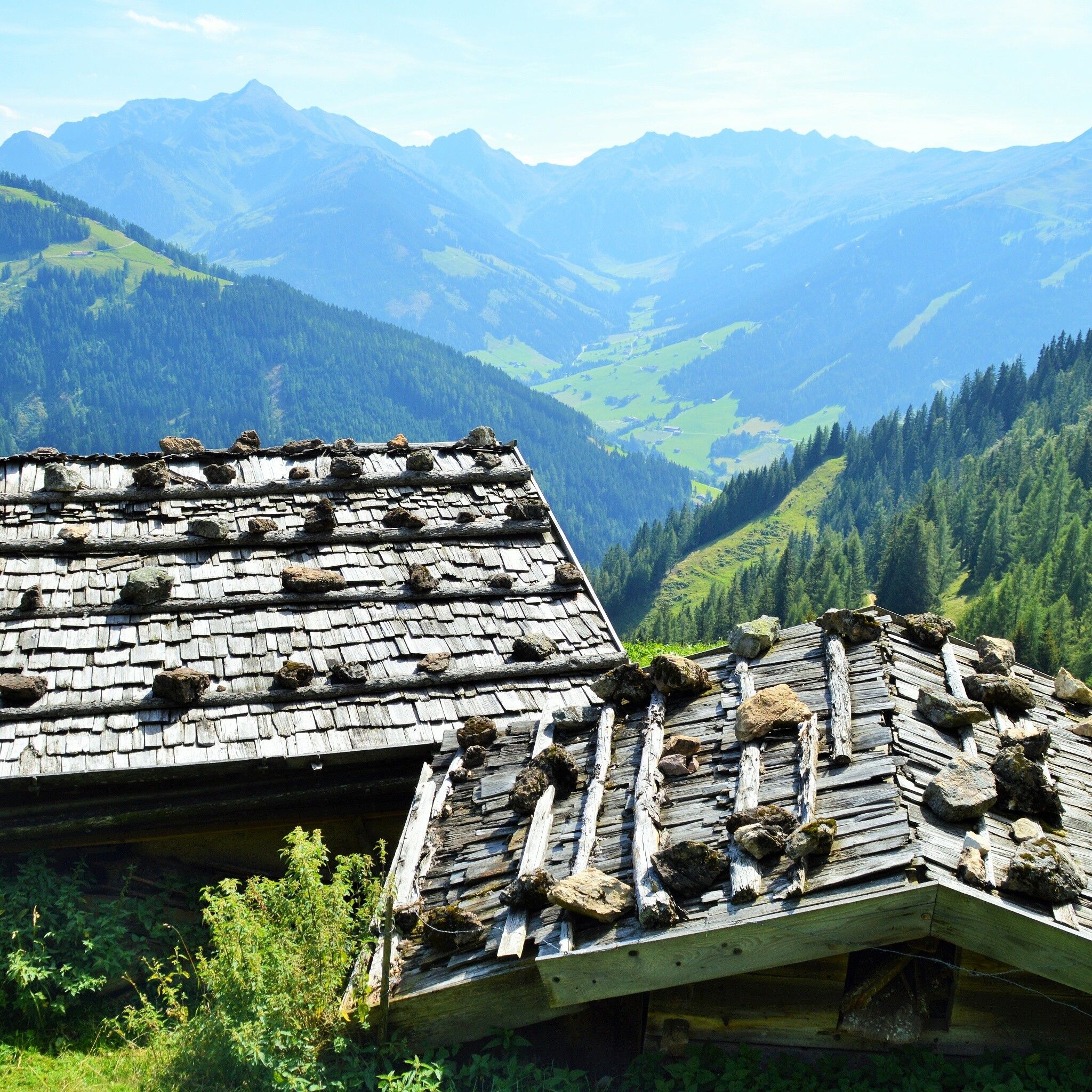
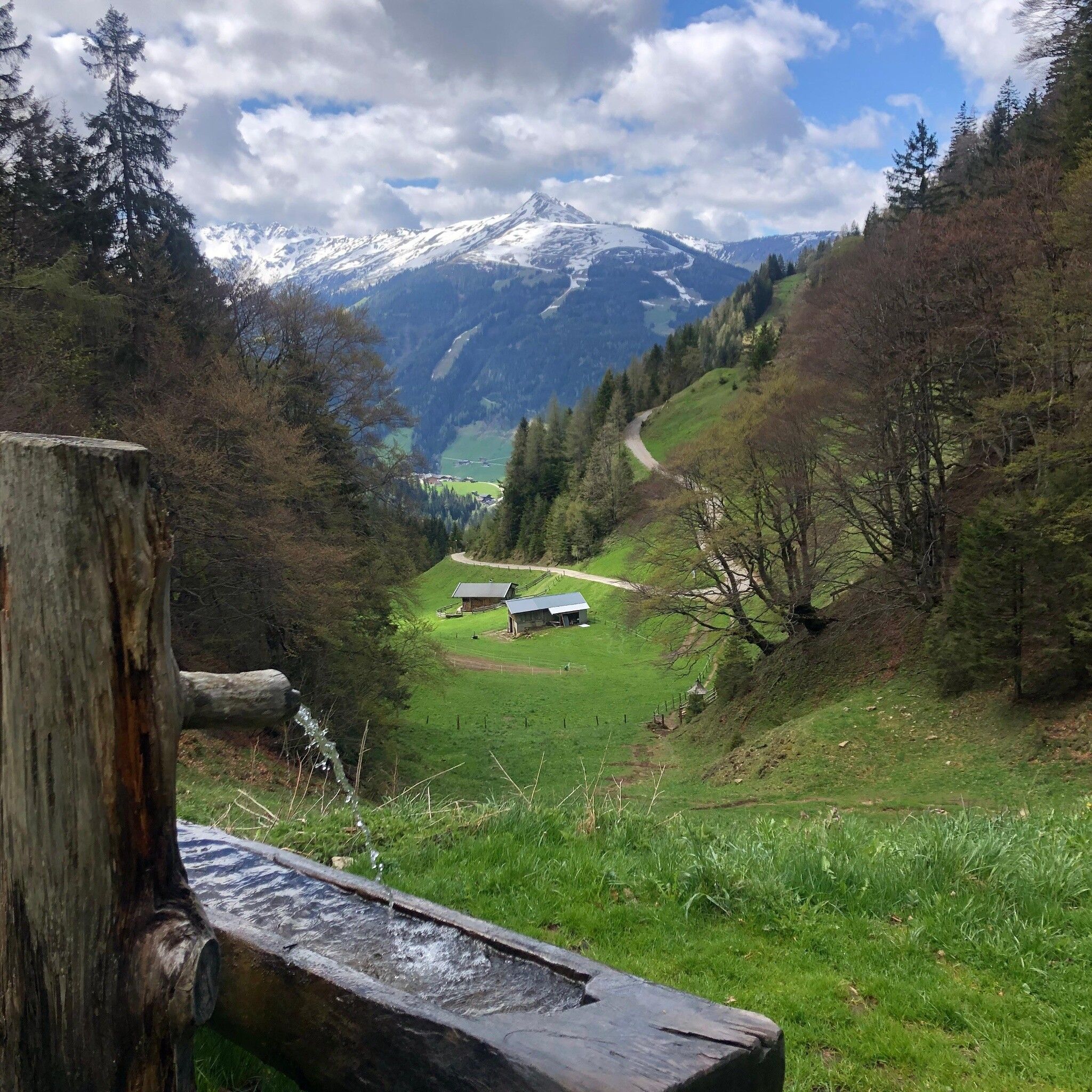
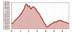
Drive to the Holzalm car park via Brixlegg/Zimmermoos. Following an approx. 10 minute walk you reach the Berggasthof Holzalm and continuing along the path – approx. another 1 h 15 min. - "Gratlspitze" at 1.893 m. Enjoy the splendid panoramic views! Descend via the "Hösljoch" leading south/westwards below the peak. The undulating path leads over the saddle downhill (please note: sure-footedness is required) to the "Halsbergalm". Walk past the alm following the path until you reach the Hösllacke (approx. 1 h 30 min). Take the path to the left of the Hösllacke and follow the links for "Holzalm" along the "Kupfersteig/Kaiserbründl" path (approx. 45 min.)
Kupfersteig/Kaiserbründl information: Since ancient times copper has been mined and processed in the area. Exhibits dating back 6300 years document first settlements and that copper was extracted from these deposits approx. 3500 years ago. Scattered finds near the Kaiserbründl around Gratlspitze indicate prehistoric ore extractions in the area. In a goods catalogue from 1416 towards the end of the Middle Ages Thierberg (the Gratlspitze was called Thierberg in those days) was mentioned as a copper mining area. Many tunnels and shafts were dug to mine the valuable ore. Starting in prehistoric days the silver found in ore also gained importance as it was used to mint coins. The shaft adit on this plateau below the Kaiserbründl is the main entrance to the Oberfund shaft, one of the main tunnels where the extracted ore was brought to the surface in a mine cart. The large tailing accumulation indicates where the two lower tunnels, the Unterfund and Peter tunnel were located. Mining in the area ceased in the mid-19th century. Next to the Kaiserbründl you can still see a large stone the so-called Scheidstein where ore was broken into smaller pieces and separated from the gangue (waste material).
Not applicable!
Holzalm parking lot


")


