
Opening hours:Open today
Place:Brixlegg
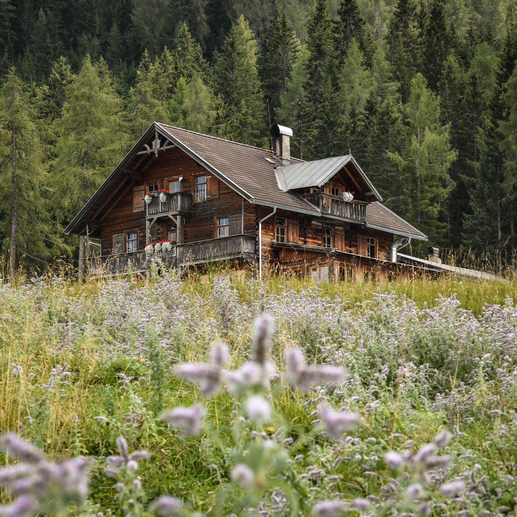
:Alpine pasture / hut / mountain restaurant
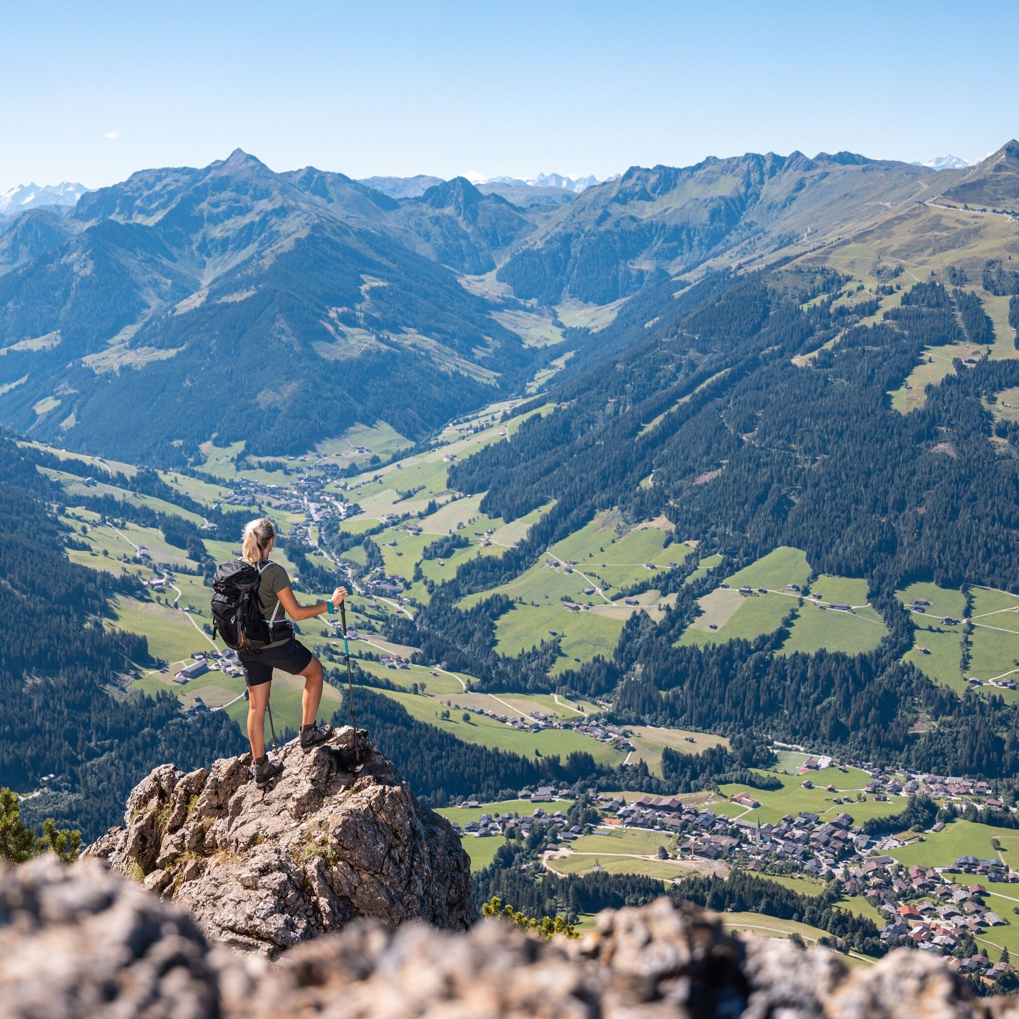
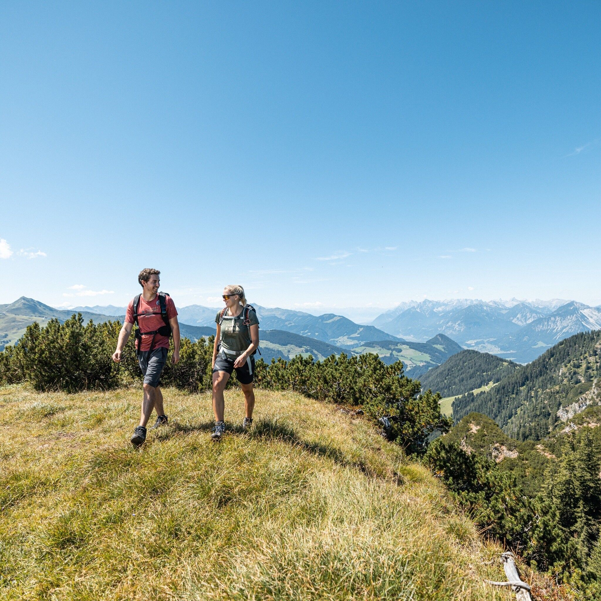
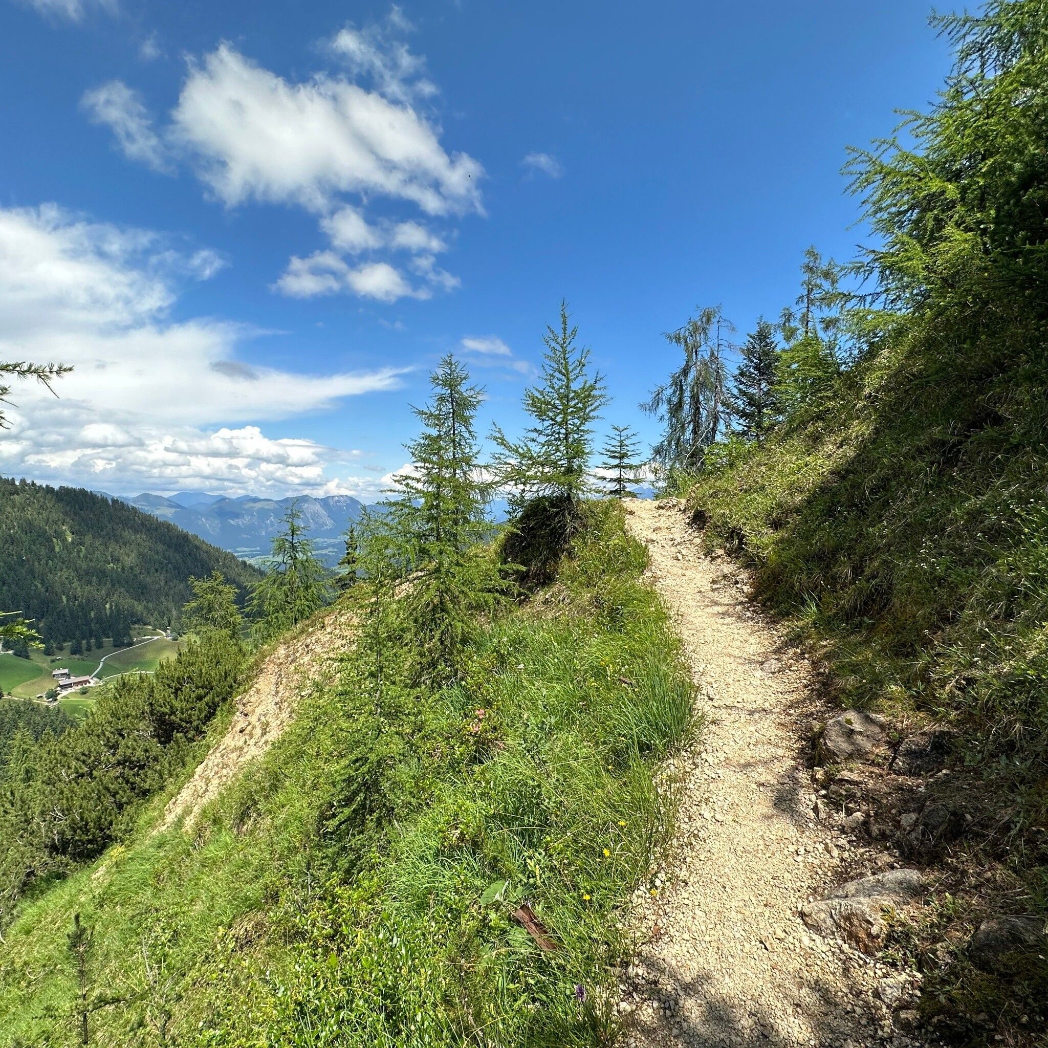
Varied hike with magnificent views
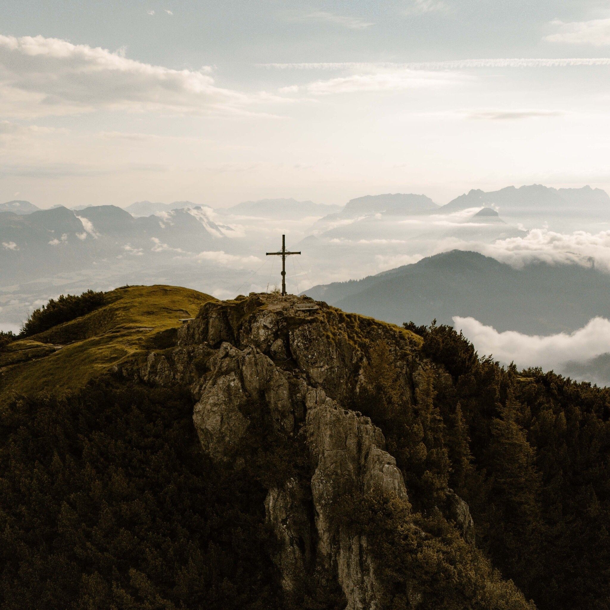
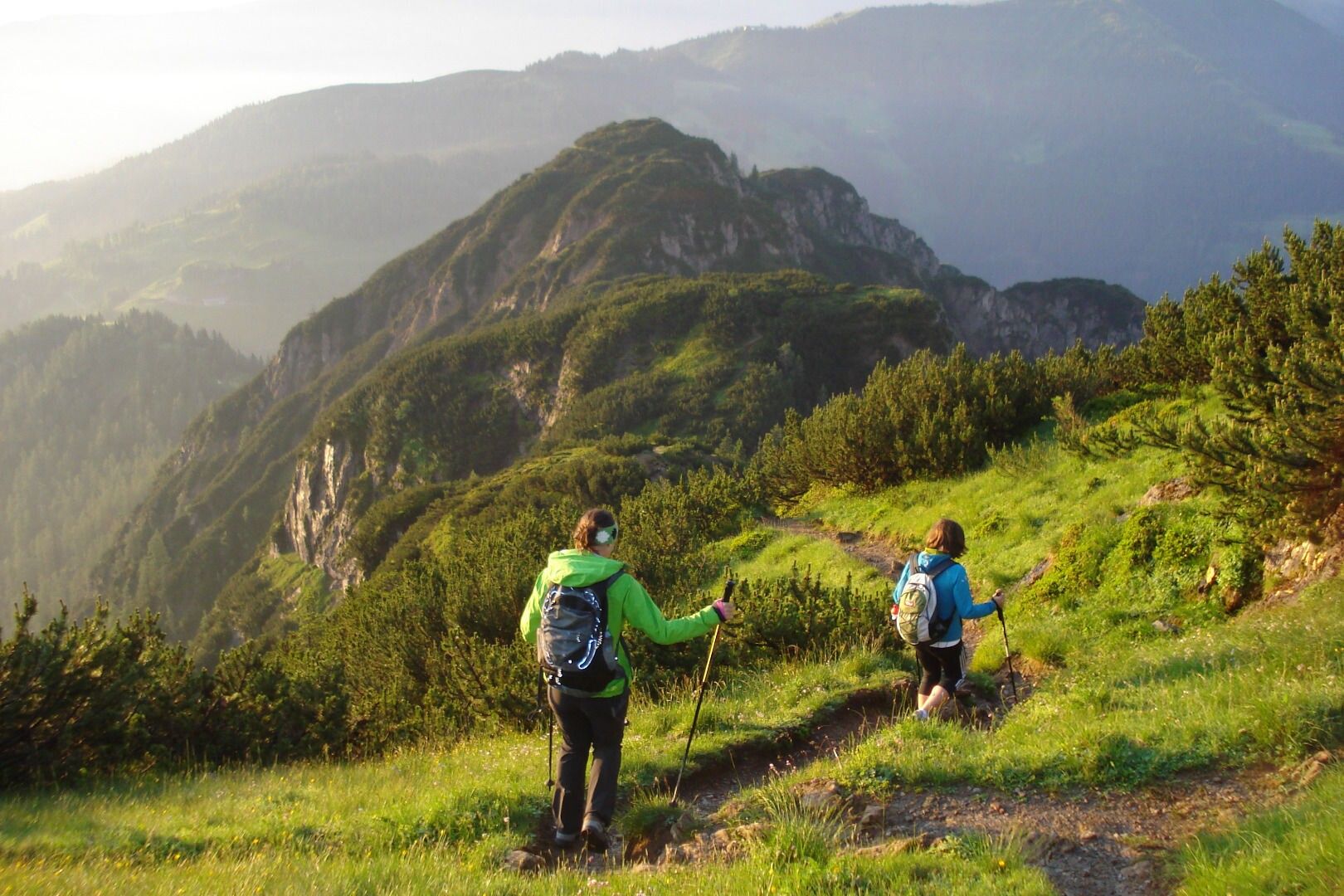
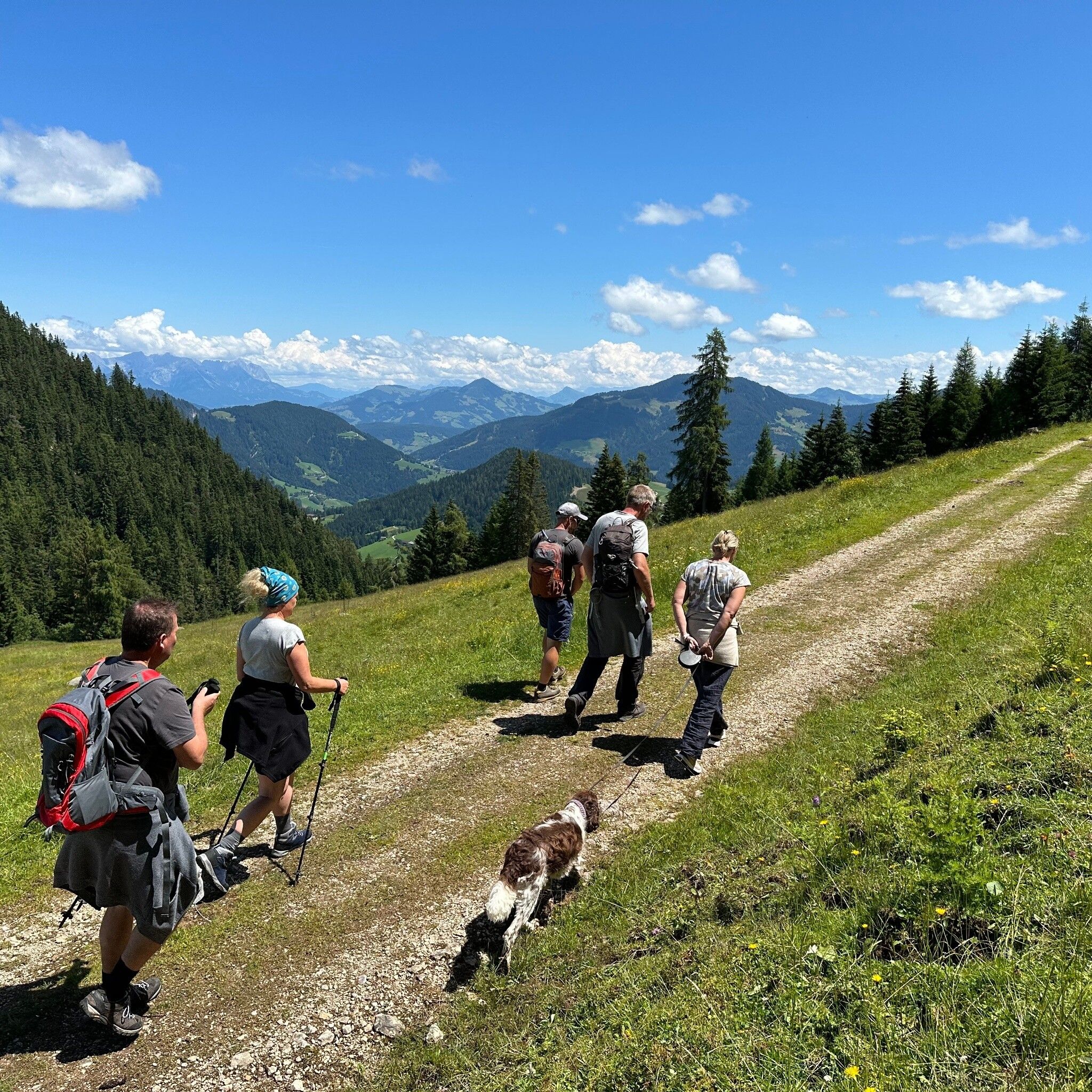
On the descent from the Gratlspitze towards Hösljoch there are some exposed sections and surefootedness is therefore required.
Sturdy footwear and weather clothing.
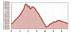
Drive by car via Brixlegg/Zimmermoos to the Holzalm parking lot. From here the hike first leads in approx. 10 minutes to the Berggasthof Holzalm and then further over a trail in approx. 1 h 15 min to the "Gratlspitze" at 1,893 m. Enjoy the magnificent views in all directions!
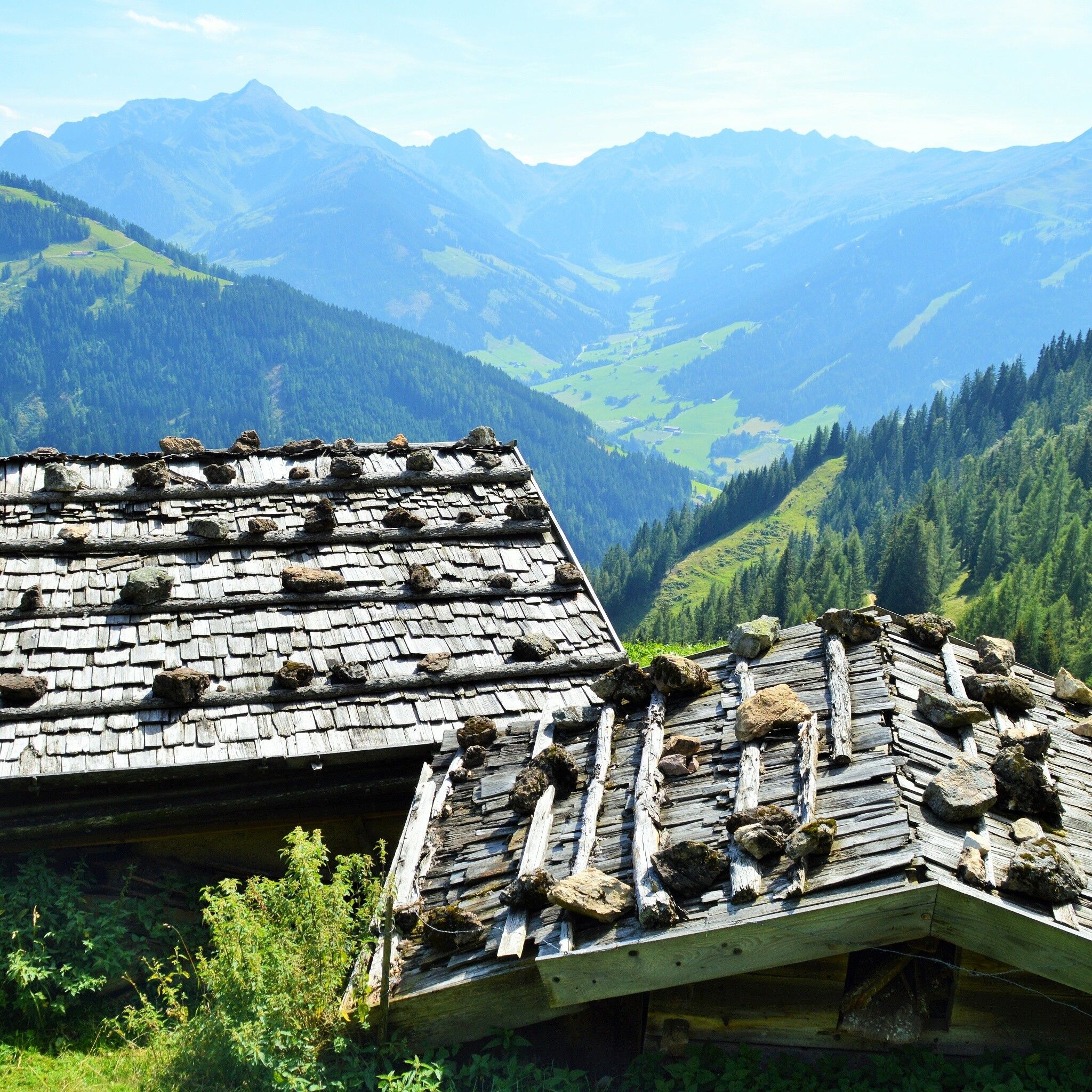
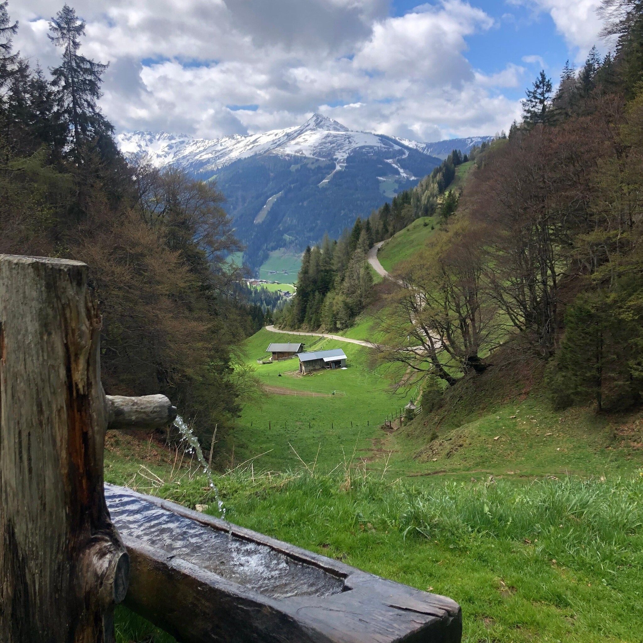
For the descent via the Hösljoch, below the summit follow the sign "Hösljoch" in a south/easterly direction. The partly exposed trail now leads downhill but also again short sections uphill to the Halsbergalm. Pass above the alm, shortly afterwards you reach the "Hösllacke" (approx. 1 h 30 min from the summit). At the Hösllacke turn left towards "Holzalm" and let the route gently end via the "Kupfersteig/Kaiserbründl" (approx. 45 min.)
Information about the Kupfersteig/Kaiserbründl: Since ancient times copper ores have been mined and processed in the area. Finds prove the first settlement 6300 years ago, around 3500 years ago copper extraction from these deposits. Scattered finds near the Kaiserbründl around the Gratlspitze indicate this prehistoric ore mining in this area. In a property directory from 1416, at the end of the Middle Ages, among others, the Thierberg (old name of Gratlspitz) was explicitly named as a copper ore supplier. A variety of tunnels and shafts were constructed to extract the sought ore. Since prehistoric times, the silver contained in the ore here has also been of interest to produce coins later on. The visible tunnel entrance on this plateau under the Kaiserbründl is the adit of the main tunnel from which extraction was carried out using a mining cart. Lower tunnels, recognizable by their large spoil heaps, are the Unterfundstollen and the Peterstollen. The operation of this mine was shut down around the middle of the 19th century. The large stone visible here next to the Kaiserbründl is a so-called separating stone, where ore was crushed and separated from the waste rock.
Not possible!
Parking Holzalm


.jpg")


.jpg")
.jpg")


")
