Mountain hikes Kleines Törl

Kirchdorf in Tirol / Kaiser Mountains
Difficulty ratings: difficult
Route length: 11.2 km
Duration: 8:00 h

A Quiet Corner in the Wilder Kaiser

Tour information

  • Requirement: difficult
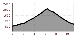
  • Length: 11.2 km
  • Duration: 8:00 h
  • Elevation uphill:1,274 hm
  • Elevation downhill:1,138 hm
Highest point2,100 m

Starting point

Going am Wilden Kaiser - Prama

Finishing point

Kirchdorf in Tirol - Kaiserbachtal
  • Fitness level 4 / 6
  • Technique 4 / 6

Best time of year

  • January
  • February
  • March
  • April
  • May
  • June
  • July
  • August
  • September
  • October
  • November
  • December

Trail condition

Rocky partly very exposed mountain path with low view, gravel

Equipment

- outdoor clothing
- helmet
- sturdy shoes
- Sufficient food and drinks
- First aid kit
- Mobile phone with full battery & charger
- Hiking map & guide literature
- GPS device or download the GPS data to your mobile phone if necessary
- Sun protection (sunglasses, sun cream, cap)
- Rain protection
- Cash
Source: Kitzbüheler Alpen Management GmbH

Description

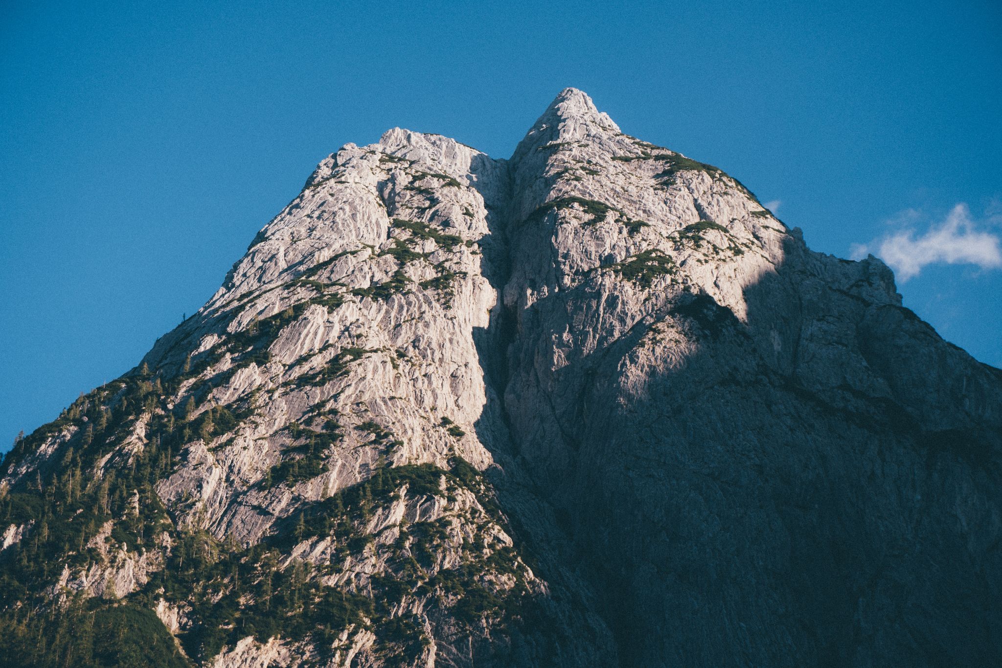
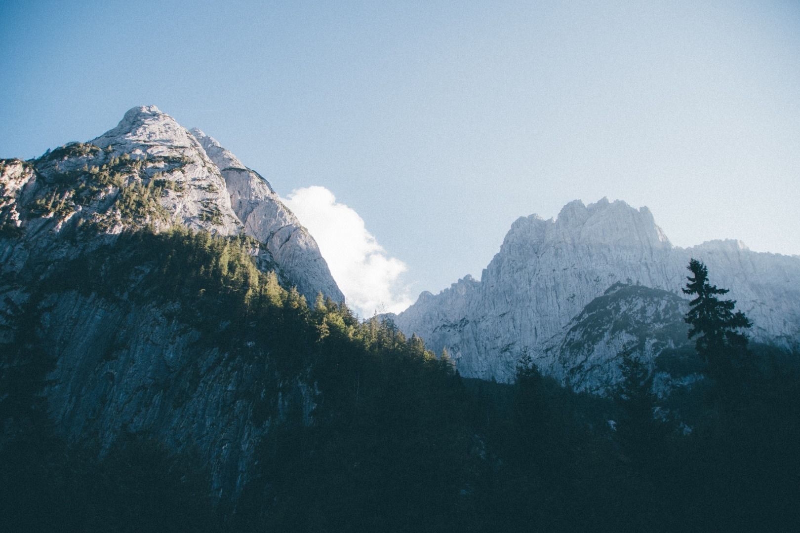
This hike starts at the parking lot Tannbichl in Going - Prama. Follow the trail past Tannbichl chapel to Obere Regalm. Hike through alpine pastures to Bergsteigergrab (mountaineer’s grave). Following the narrow path, you should keep heading north to reach the Wilderer Kanzel – a unique viewpoint in the Wilder Kaiser region. Gildensteig (No. 815) climbs steadily in switchbacks through Alpine meadows and past mighty rock walls to Kleines Törl. They way back leads through steep and rocky terrain down to Griesner Kar, a huge glacial cirque, and on to Fritz-Pflaum-Hütte (not serviced). Descend to Kaiserbachtal and Griesner Alm through Großes Griesner Tor.
 

Nearby huts and mountain restaurants

Getting here

  • Arrival by public transport

    Postbus 4060 St. Johann in Tirol Bahnhof - Going a. W. K. Stanglwirt (1,6 km to parking Prama)

    Retour: 
    Postbus 4000 Kirchdorf i. T. Griesenau (from Griesner Alm ca. 5 km) - St. Johann in Tirol Bahnhof

  • Parking

    Parking lot Tannbichl (Am Kaiser 90, 6353Going am Wilden Kaiser)

Weather

Today

partly Cloudy
23°C/8°C
90%8.5l5 km/h

Mon

light rain
19°C/11°C
90%5.9l5 km/h

Tue

clear sky
25°C/9°C
0%0l5 km/h
Go to weather forecast

More tours in the surrounding area

  • Hike to the Großer Rettenstein

    Difficulty:difficult
    Length:14.4 kmDuration:8:00 hElevation uphill:1,338 m
  • Kleine Salve & Hohe Salve summit tour

    Difficulty:medium
    Length:7.4 kmDuration:2:45 hElevation uphill:350 m
  • Adolari Round

    Difficulty:easy
    Length:8.2 kmDuration:2:30 hElevation uphill:70 m
  • Kaiserbachtal - Feldberg - Stripsenjoch

    Difficulty:medium
    Length:21.0 kmDuration:9:00 hElevation uphill:1,170 m
  • Koasa Trail

    Difficulty:medium
    Length:83.0 kmElevation uphill:4,700 m
  • KAT WALK ALPINE

    Difficulty:medium
    Length:113.0 kmDuration:45:00 hElevation uphill:6,300 m
  • 1st stage KAT Walk Family

    Difficulty:medium
    Length:10.0 kmDuration:5:30 hElevation uphill:700 m
  • 3rd stage KAT Walk Family

    Difficulty:medium
    Length:21.0 kmDuration:8:00 hElevation uphill:1,250 m
  • 2nd stage KAT Walk Family

    Difficulty:medium
    Length:13.5 kmDuration:7:00 hElevation uphill:961 m
  • Koasa Trail Stage 3

    Difficulty:medium
    Length:19.9 kmDuration:7:10 hElevation uphill:730 m
  • Koasa Trail Stage 5

    Difficulty:medium
    Length:14.0 kmDuration:6:45 hElevation uphill:935 m
  • Kaiserkrone - stage 5

    Difficulty:medium
    Length:10.8 kmDuration:5:15 hElevation uphill:840 m
  • Kaiserkrone - stage 4

    Difficulty:medium
    Length:16.1 kmDuration:6:30 hElevation uphill:640 m
  • Koasa Trail Stage 1

    Difficulty:medium
    Length:16.9 kmDuration:6:45 hElevation uphill:937 m
  • Koasa Trail Stage 4

    Difficulty:medium
    Length:20.6 kmDuration:7:35 hElevation uphill:923 m
Newsletter

The mountain is calling? So does our newsletter!

In our monthly newsletter we reveal the best holiday tips for Tyrol.