Parking
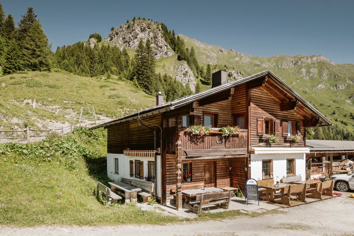
Parking area Kobler Alm, free of charge
A scenic walk across flower-filled alpine meadows with stunning views of the Engadin and the Ötztal Alps.
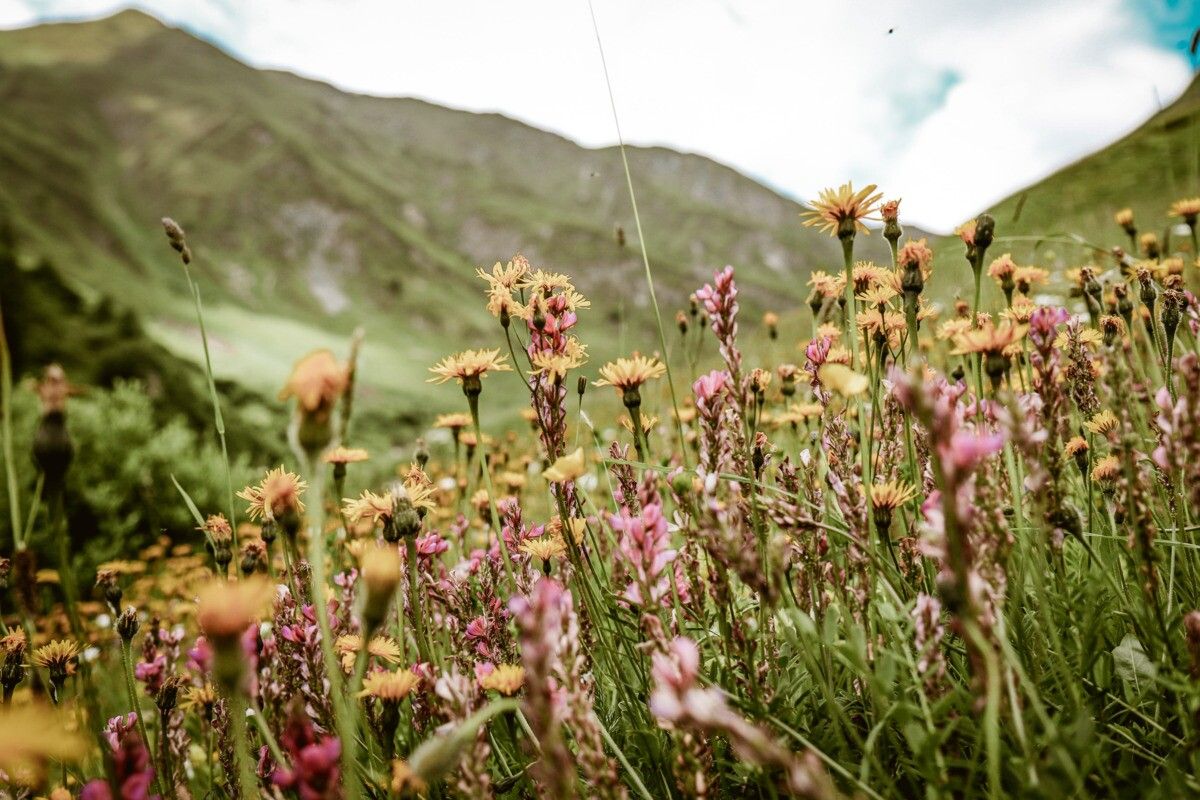


From Pfunds, drive up to Kobl to the parking area at Kobler Alm. From the parking lot, walk back a short distance along the road until the easy trail no. 1 branches off to the left into the forest. This path leads through a short forest section and up to alpine meadows at around 2,074 m. Here you can admire a rich variety of alpine flowers such as arnica, pasque flowers, and many other species. At the same time, beautiful panoramic views open up toward the neighboring Engadin and the Ötztal Alps.
The trail then continues at a relaxed pace toward Kobler Alm. The return route follows alpine path no. 2, offering wonderful views of the striking trio of peaks: Piz Mundin, Piz Alpetta, and Piz Mezdi.
Parking area Kobler Alm, free of charge


.jpg")


.jpg")


")


.jpg")
.jpg")

